really shows





At Realtek we raise the standard of topography professional in Chile, integrating precision technology with impeccable technical support. We deliver high-performance solutions —equipment, expert advice and specialized after-sales service— to optimize times, minimize uncertainty and ensure consistent results, with continuous support so that your operation does not stop and your investment is justified.


A glimpse of the store



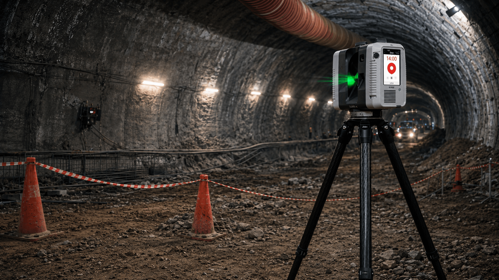
Designed
to
last
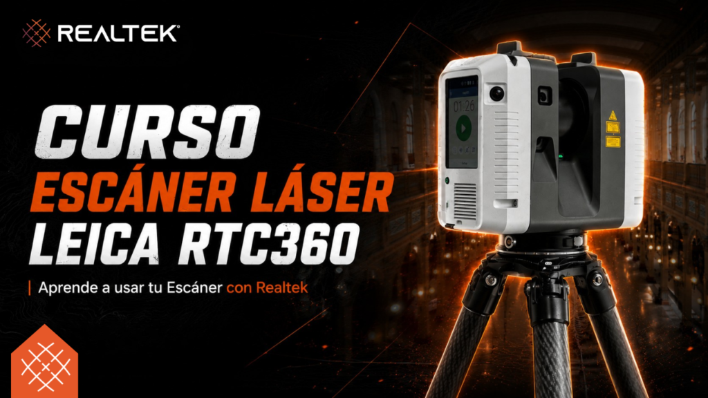
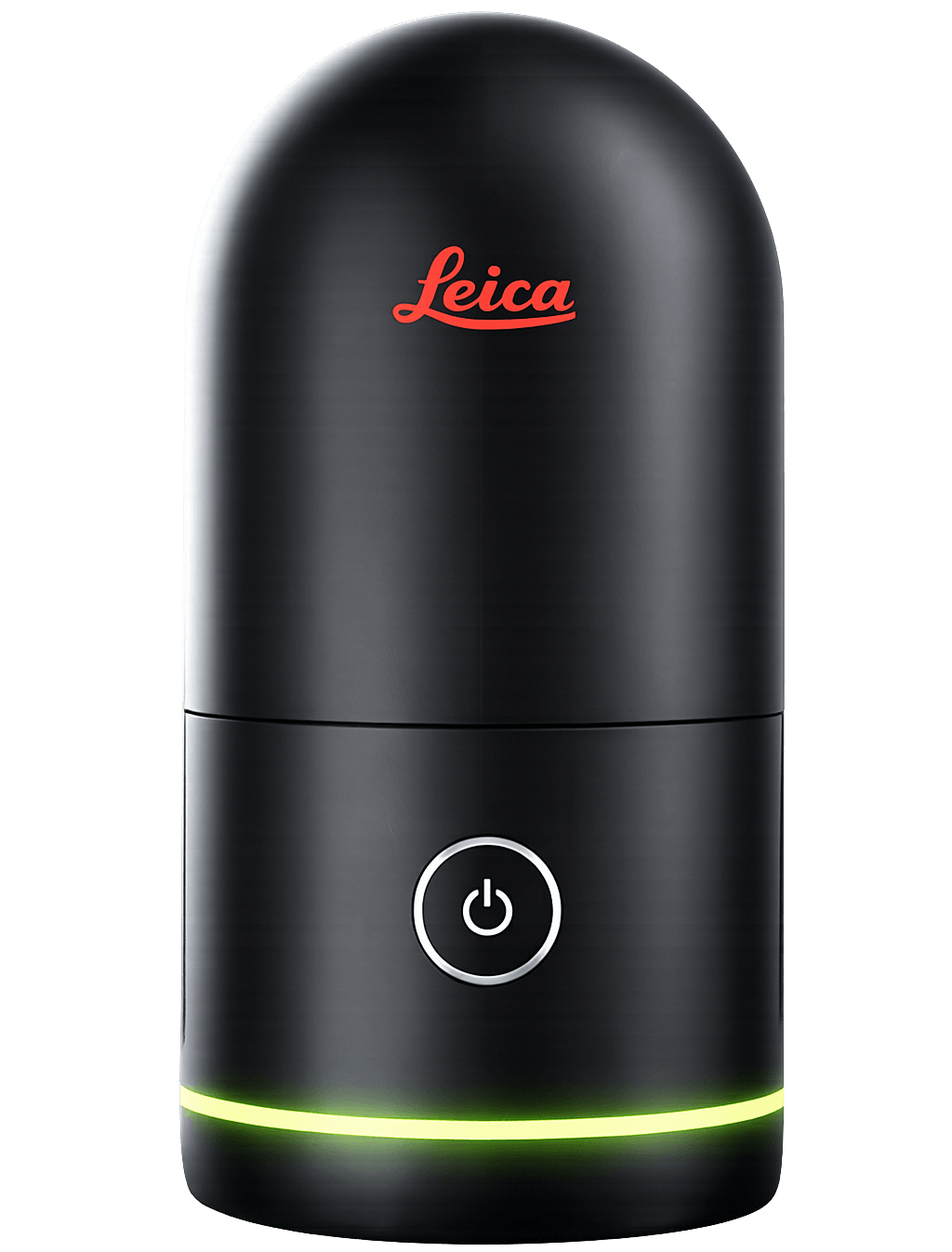
Leica RTC 360 Laser Scanner
From $63,990,000 + VAT














Brands we
represent







What they say about
FJDynamics
" It saves us time and reduces errors "
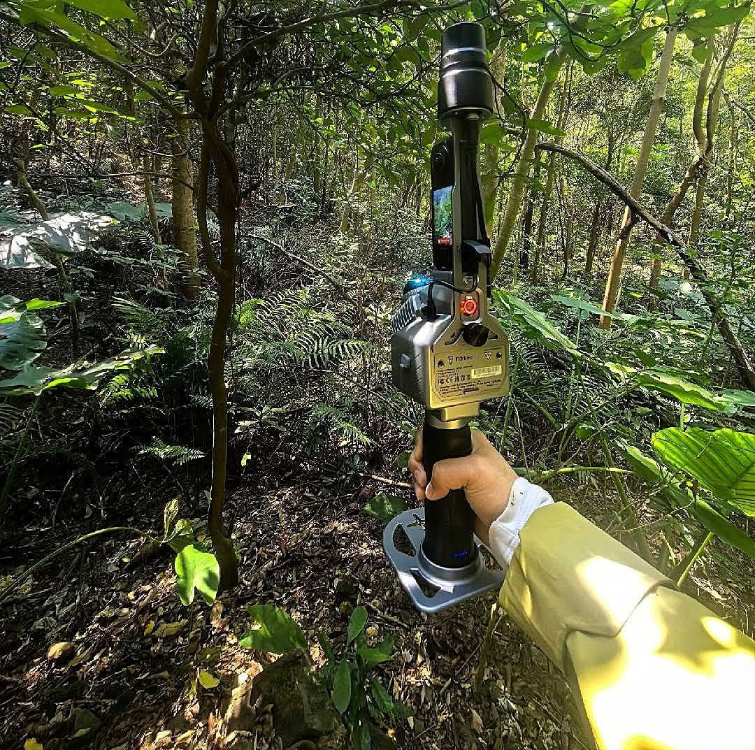
Trion P1 Case
What they say about
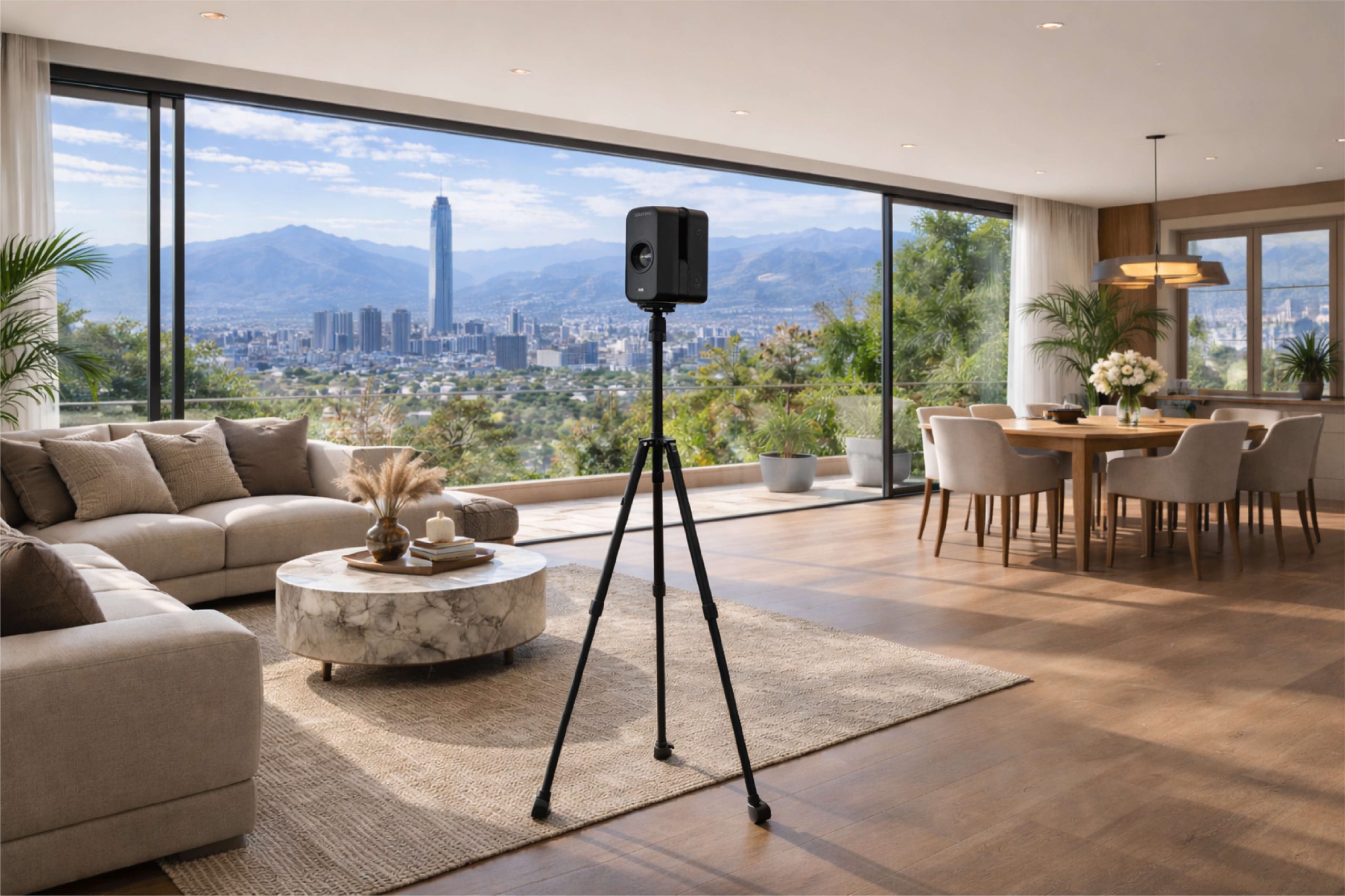
Matterport
" Incredibly easy to use and, at the same time, produces impressive results "
Techradar.com
What they say about
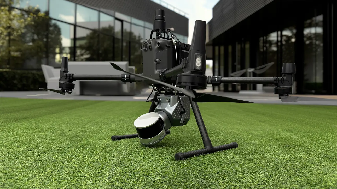
FJDynamics
" What makes it stand out is that software and hardware work very well "
Turkey Case
What they say about
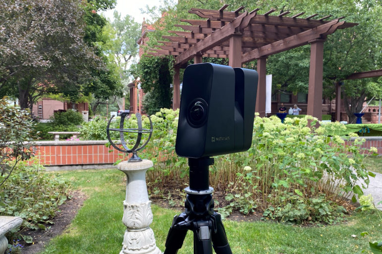
Matterport
" Super easy to use and with very professional 3D scans "
Digital Camera World
What they say about
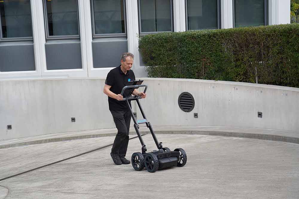
Proceq
" Versatile, easy to interpret and with a user-friendly interface "
South East Scanning
What they say about
Matterport
" Fast, simple and with high quality results "
Pexels360
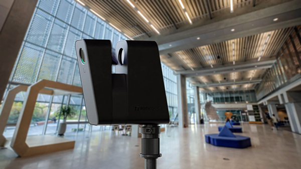
What they say about
FJDynamics
" A simple, effective, and accessible tool "
Farmer Talk
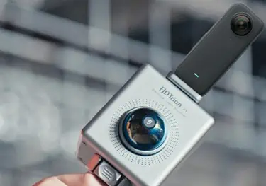
What they say about
STEC
" Redefine GNSS measurement in the field "
Inputwebb
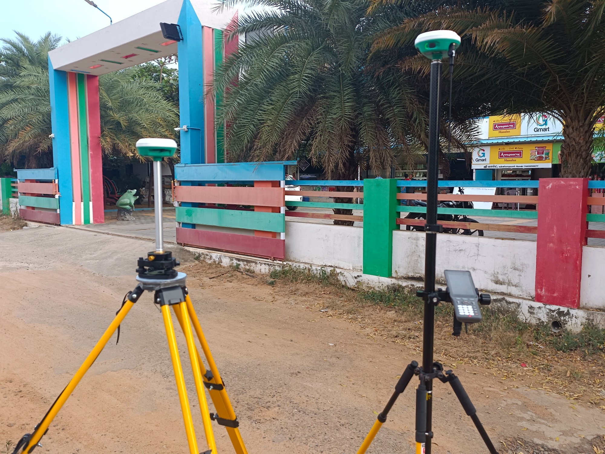
What they say about
STEC
" Good price, good quality and good features "
Antongabriella
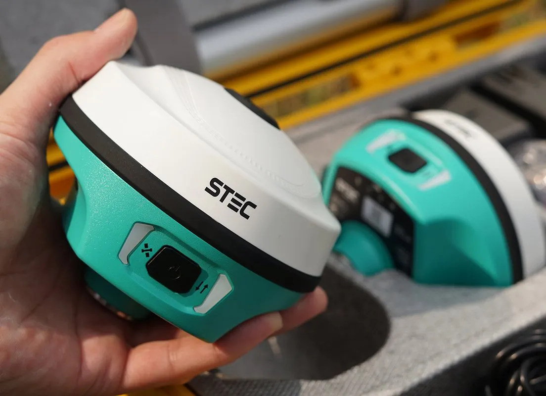
What they say about
Proceq
" A true industry standard "
Alpine Structural
What they say about
STEC
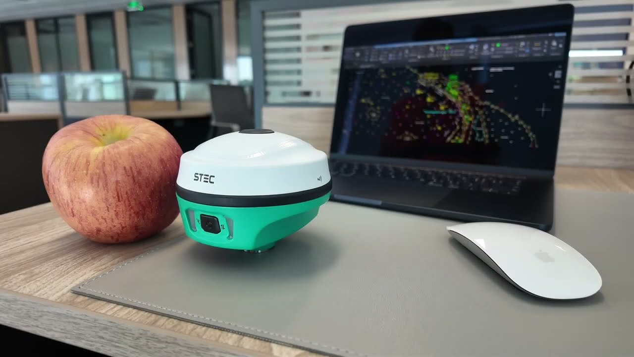
" It stands out for its robustness and reliability "
Direct Topo
What they say about
Proceq
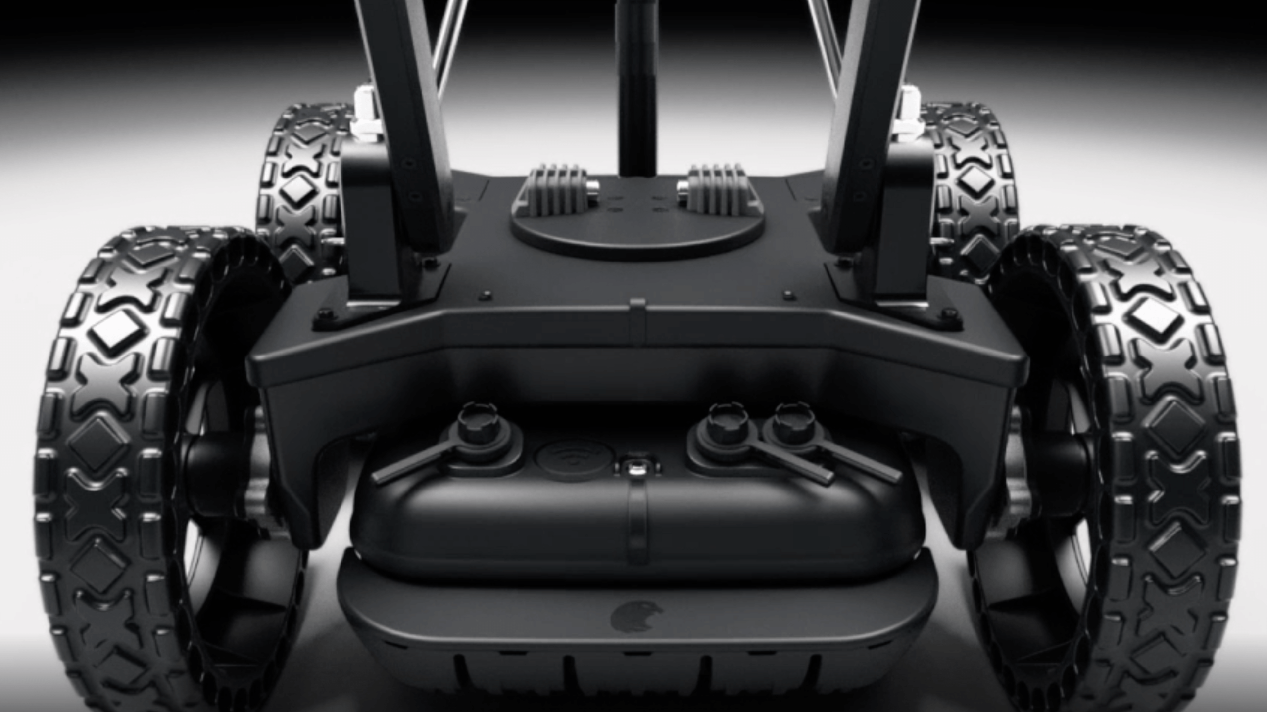
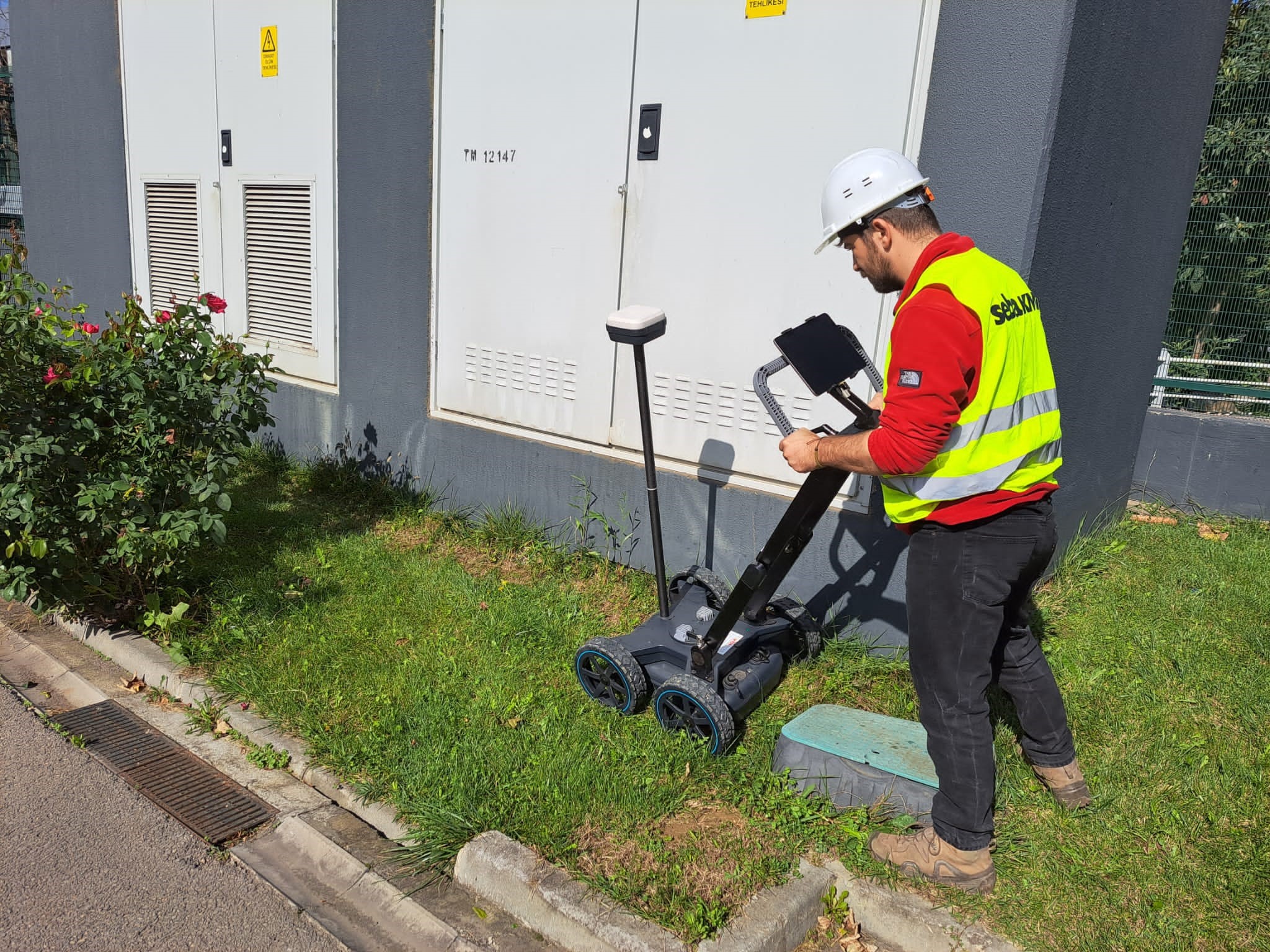
" Robust and made for off-road use "
Gilson Co
Don't miss out on news


How to Capture Correctly for Gaussian Splatting | Real Case🤨
🚀 Take your Gaussian Splatting to the next level. Discover in the field the keys to improving your capture, avoiding mistakes, and achieving much cleaner, more detailed, and more professional 3D results.
Watch video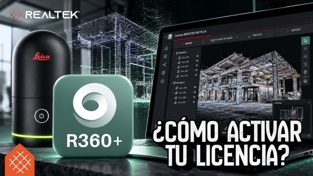
😳 How to Activate Your Leica Cyclone REGISTER 360 PLUS License | Step by Step
Problems activating your Leica Cyclone REGISTER 360 PLUS license? 🖥️ In this tutorial we show you the step by step using Leica CLM quickly. Watch it now!
Watch video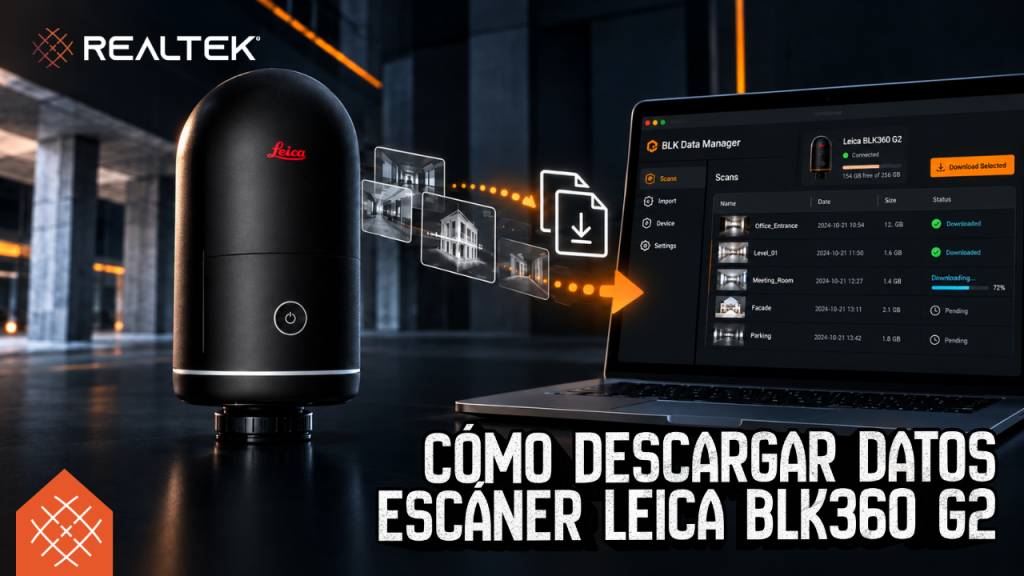
BLK Data Manager: How to Download Data from Leica BLK360 G2
Need to download your data from the Leica BLK360 G2? 📥 Discover step by step how to connect via WiFi or USB-C with BLK Data Manager in this Realtek tutorial. Hit play!
Watch video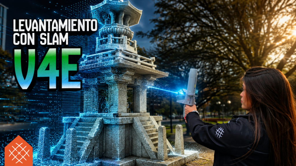
FJD Trion V4e: LiDAR Surveying and Real Results 🚀
3D scanning is now more accessible with the FJD Trion V4e 🚀 Discover how it performs on terrain, check the quality of its point cloud, and be amazed by…
Watch video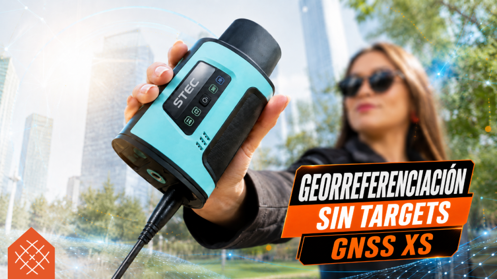
Georeferencing without Targets | GNSS XS
Georeferencing without targets is possible with the GNSS XS: it allows capturing characteristic points in the field to later georeference the P2 laser scanner cloud in the office
Watch video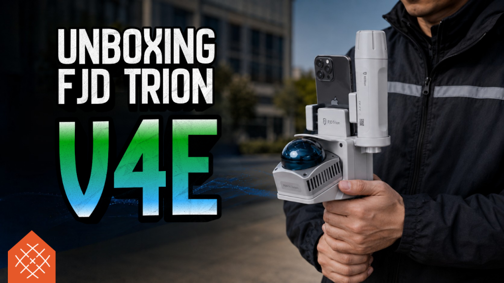
New FJD Trion V4e! | Unboxing the most compact SLAM LiDAR from FJDynamics
Georeference your point clouds quickly. 🎯 Learn the definitive PPK + SLAM workflow using the Trion P2 scanner and the STEC SV1 base. See how to achieve it in…
Watch video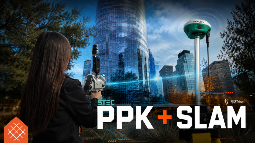
PPK + SLAM: Workflow with Trion P2 and STEC SV1
Do PPK with SLAM technology? Yes, you can! Discover how to georeference the point cloud of the Trion P2 scanner using the STEC SV1 base in this must-see video
Watch video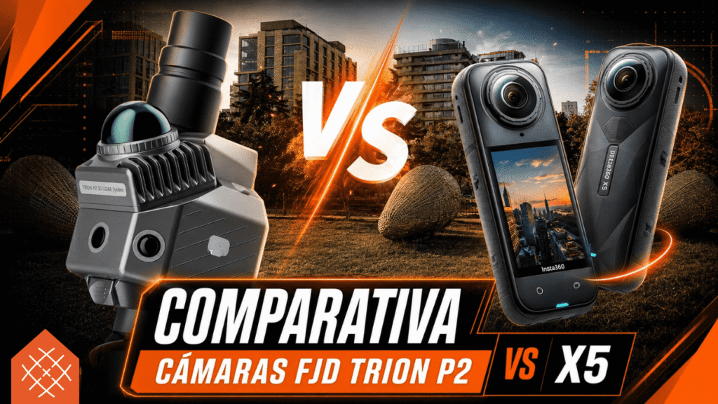
FJD Trion P2 | Comparison between Internal Cameras with INSTA X5😱
Internal vs. external cameras on the FJD Trion P2? ⚖️ We analyze its color, detail, and performance in Gaussian Splatting alongside the Insta360 X5. Hit play and draw your…
Watch video

STEC Field Master in 2026
STEC Field Master does not compete from the global fame of other platforms, but from something much more practical: quickly solving surveying and staking out work in the field. In 2026,…
Read more →
FJD Trion in 2026: why Model and Scan continue to gain ground in 3D capture
FJDynamics is building an increasingly interesting proposition in 3D capture and digital construction, and in 2026 the core of that proposition lies in the FJD Trion Scan...
Read more →
Why FIELD 360 and REGISTER 360 remain key in captured reality
Leica Geosystems remains a benchmark in captured reality because its value is not just in the scanner: it is in the complete workflow. In 2026, Cyclone FIELD 360 and Cyclone...
Read more →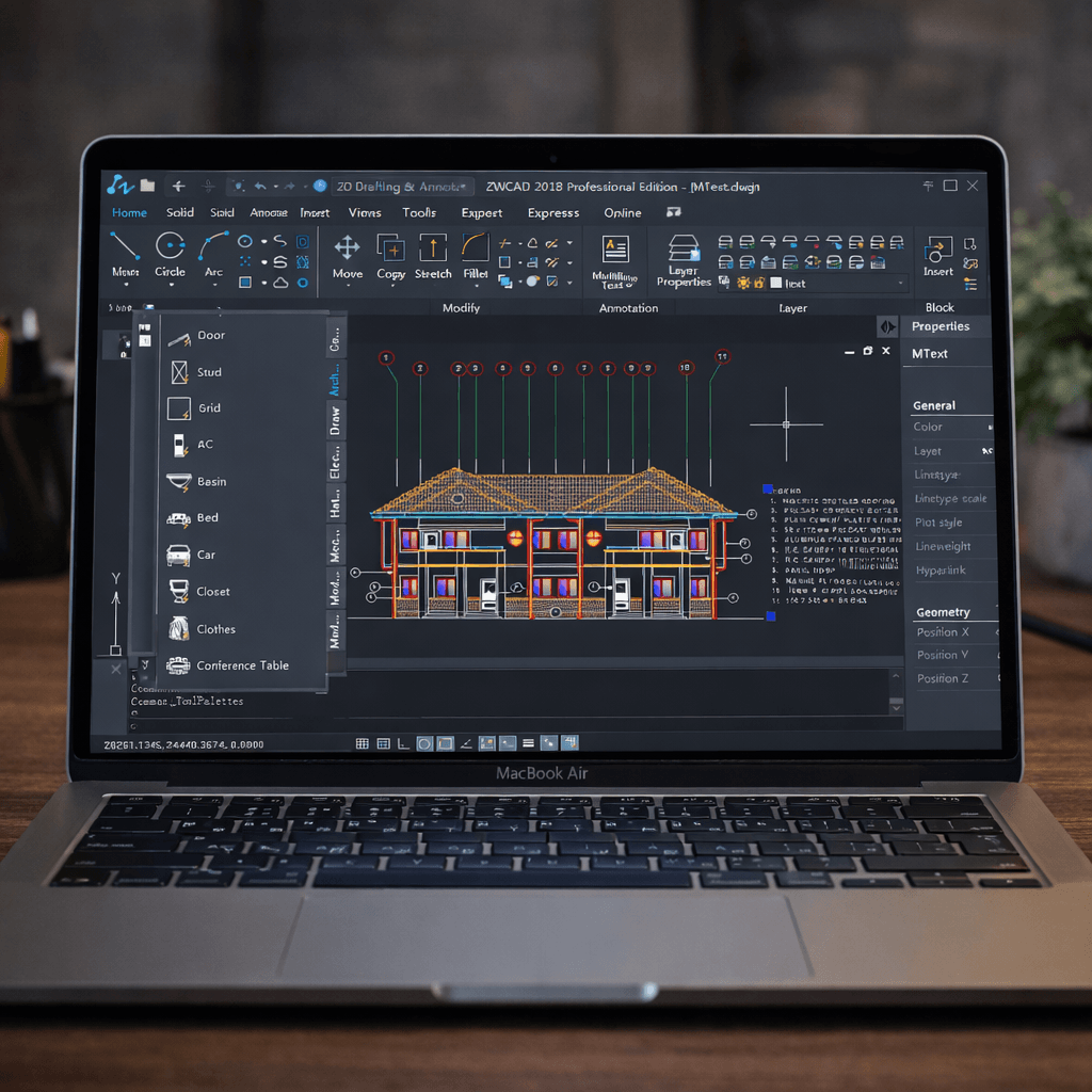
ZWCAD 2026: speed, compatibility, and automation for professional design
ZWCAD arrives in 2026 as much more than an economical alternative in the CAD world. Its current proposal mixes DWG compatibility, performance improvements, automation with AI support, design...
Read more →