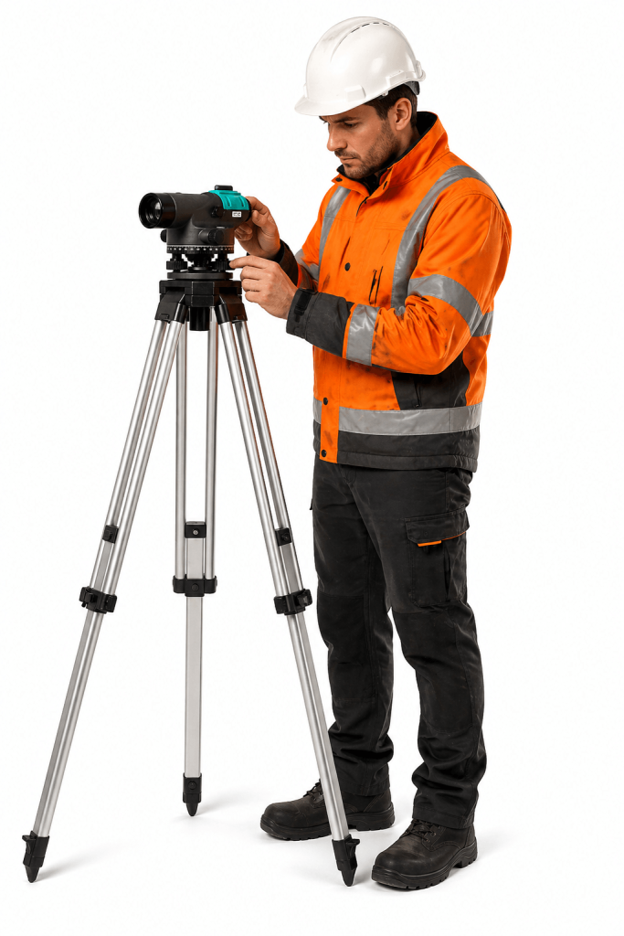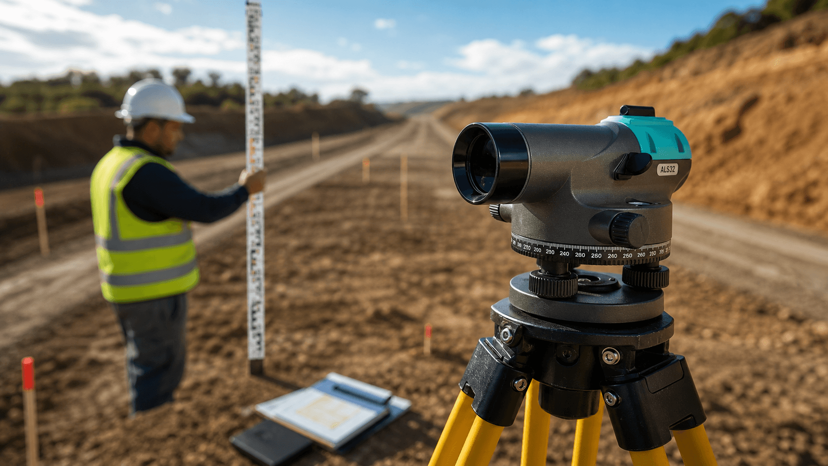
Automatic Optical Level
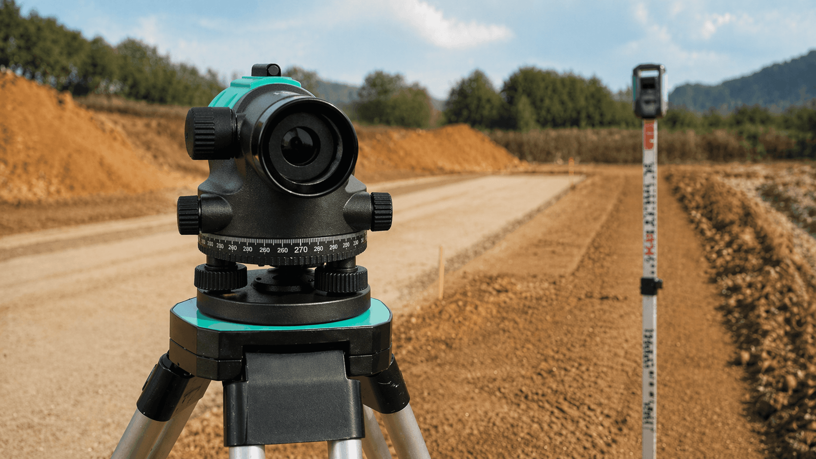
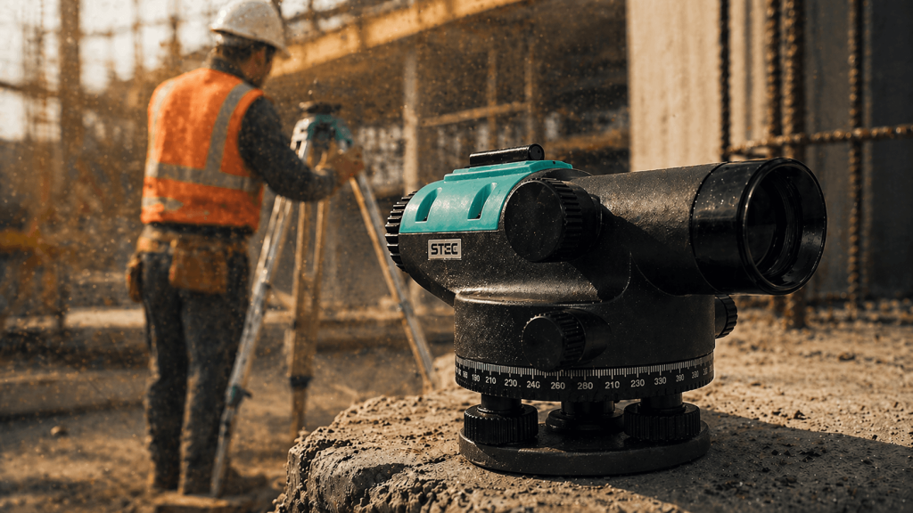
It is an automatic optical level designed for classical leveling and altimetric support.


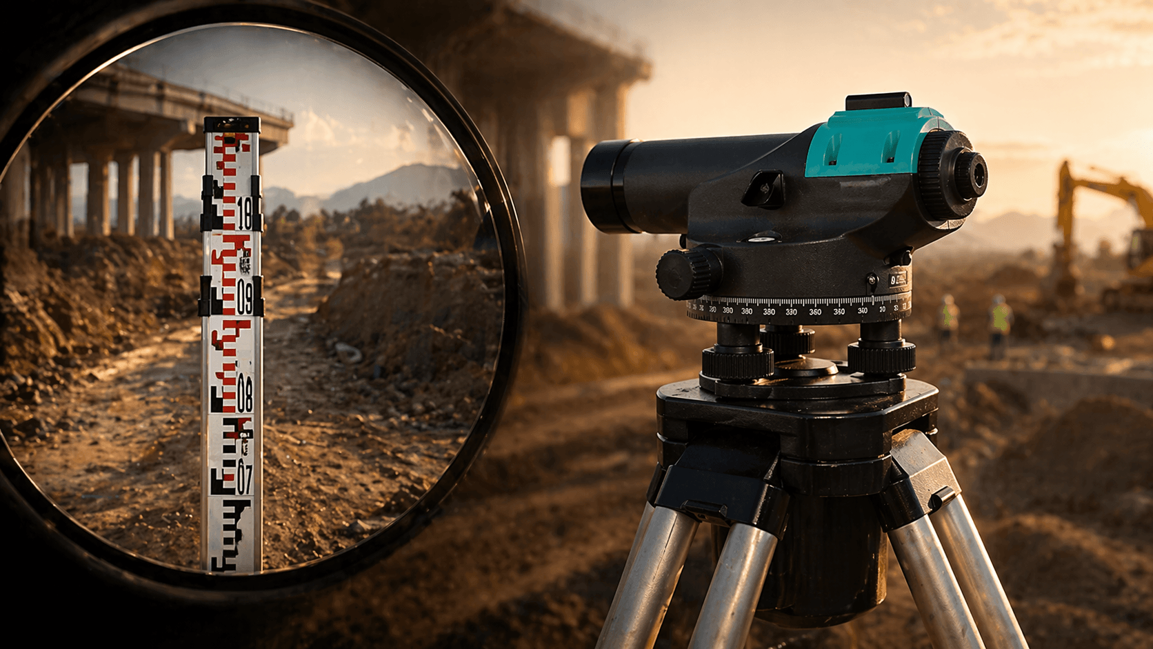
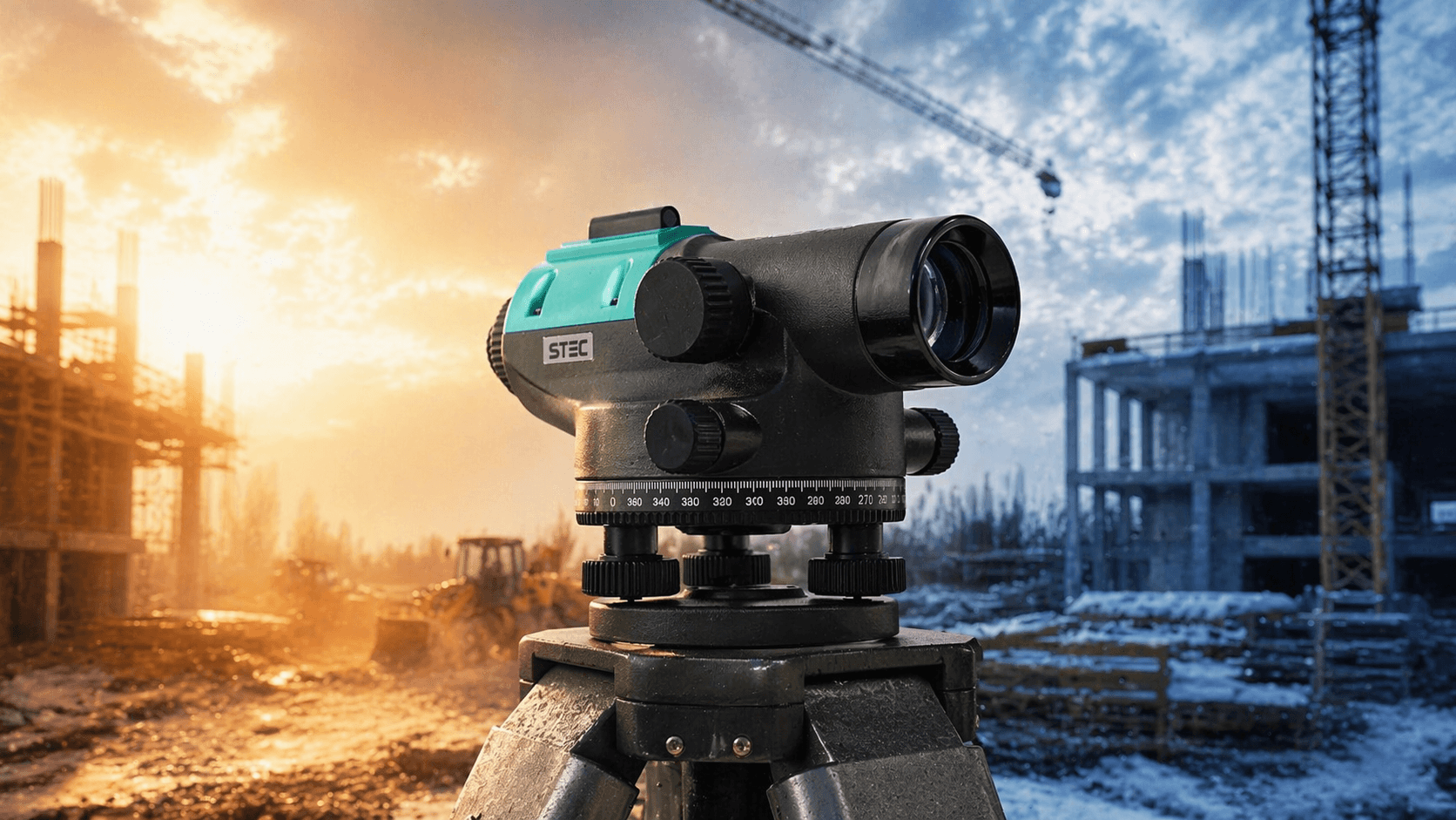

Automatic Optical Level
It is an automatic optical level designed for classical leveling and altimetric support.

No Internal Storage
Observation is done manually with a sight; it does not have internal storage.
Construction Leveling
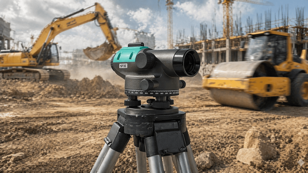
It is suitable for construction leveling and general topography according to required precision.
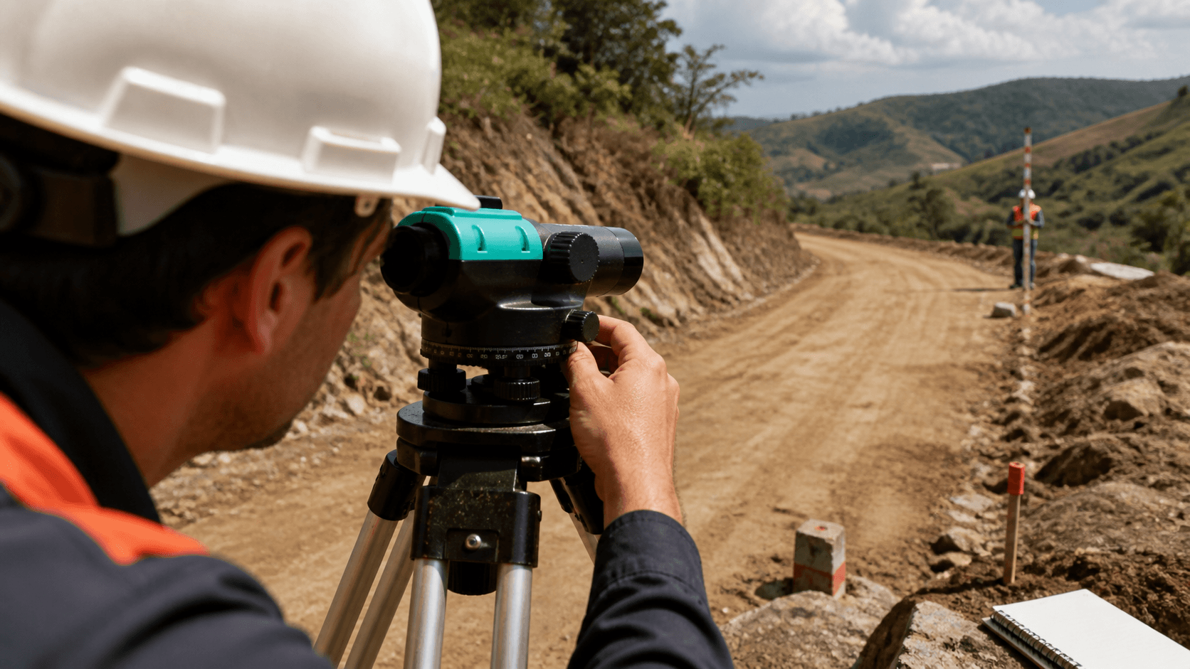
Accuracy of 1.0 mm/km
Offers 1.0 mm accuracy in 1 km of double leveling, suitable for construction control.

Optical Level with Staff
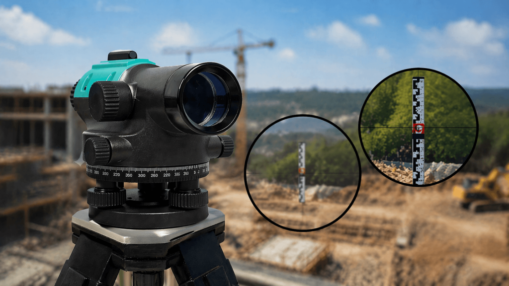
It is an automatic optical level for reading with a staff, not a digital level.
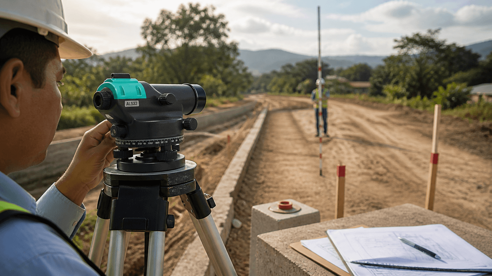
High Stability
Magnetically damped compensator integrated to stabilize the line of sight.

Height Measurement
Useful for level differences, altimetric control, and tracking elevations on site.

Manual Optical Reading
Reading is done optically on the reticle; it does not record data in memory.
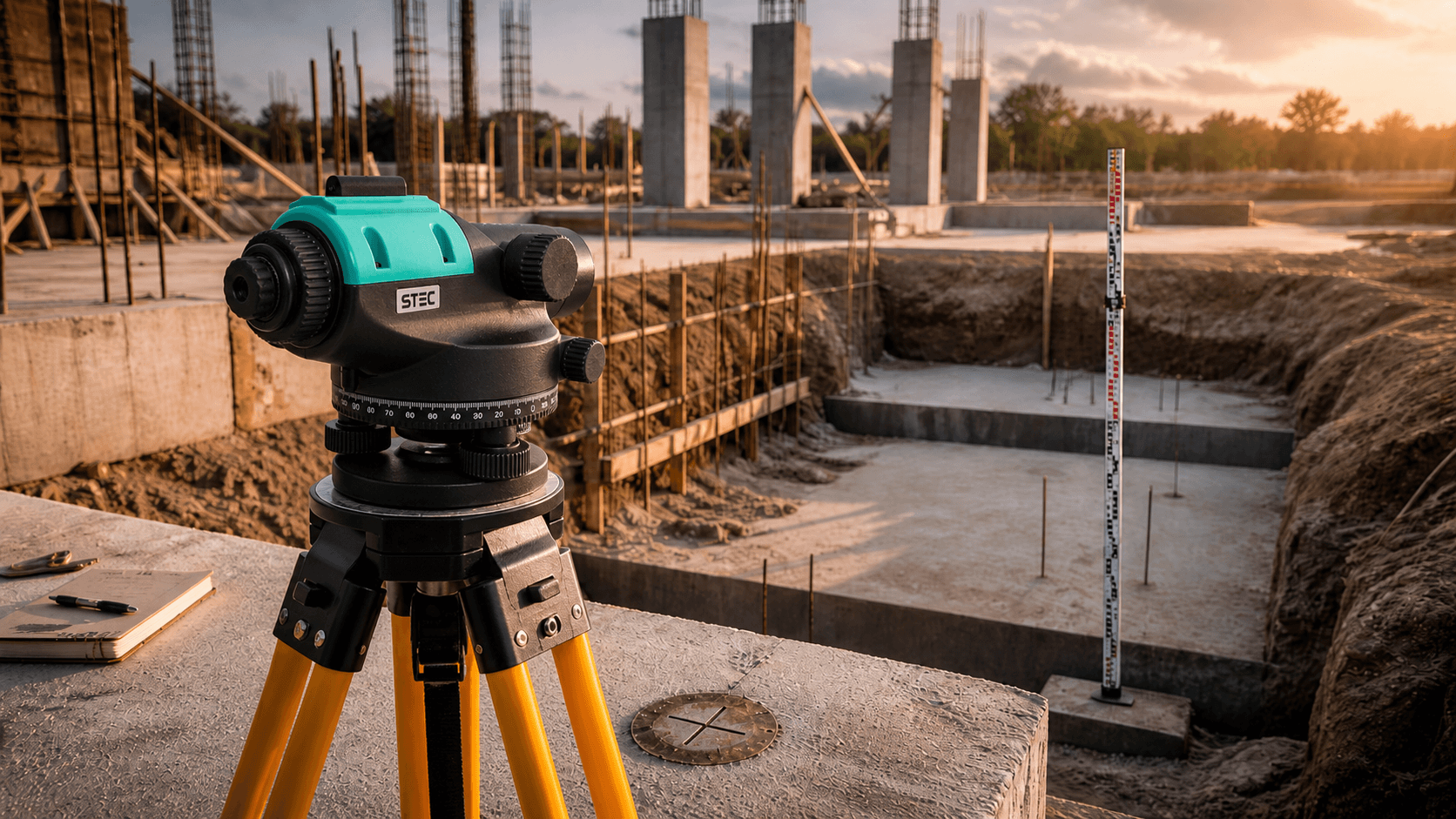
Ease of Use
Its operation is simple for conventional leveling tasks on the ground.


Management of geoid systems and models
Control of units and decimal precision
Rinex metadata editing
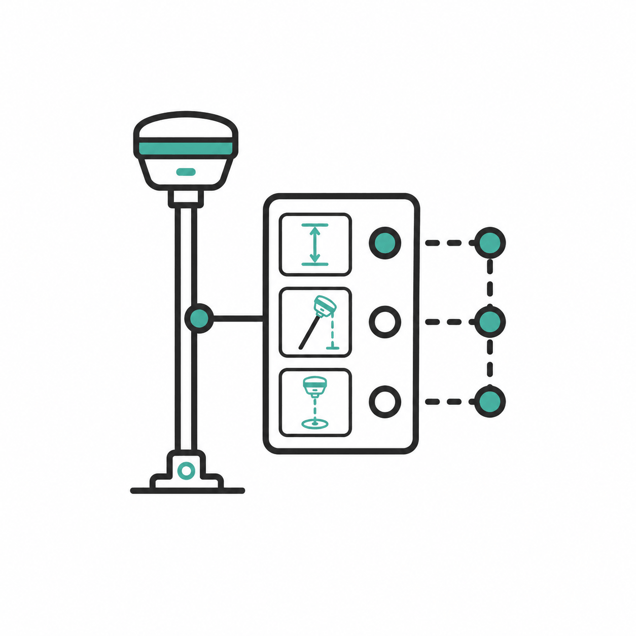
Visual antenna configuration

Manual filtering of satellites

Visual color feedback

Multidimensional adjustment reports
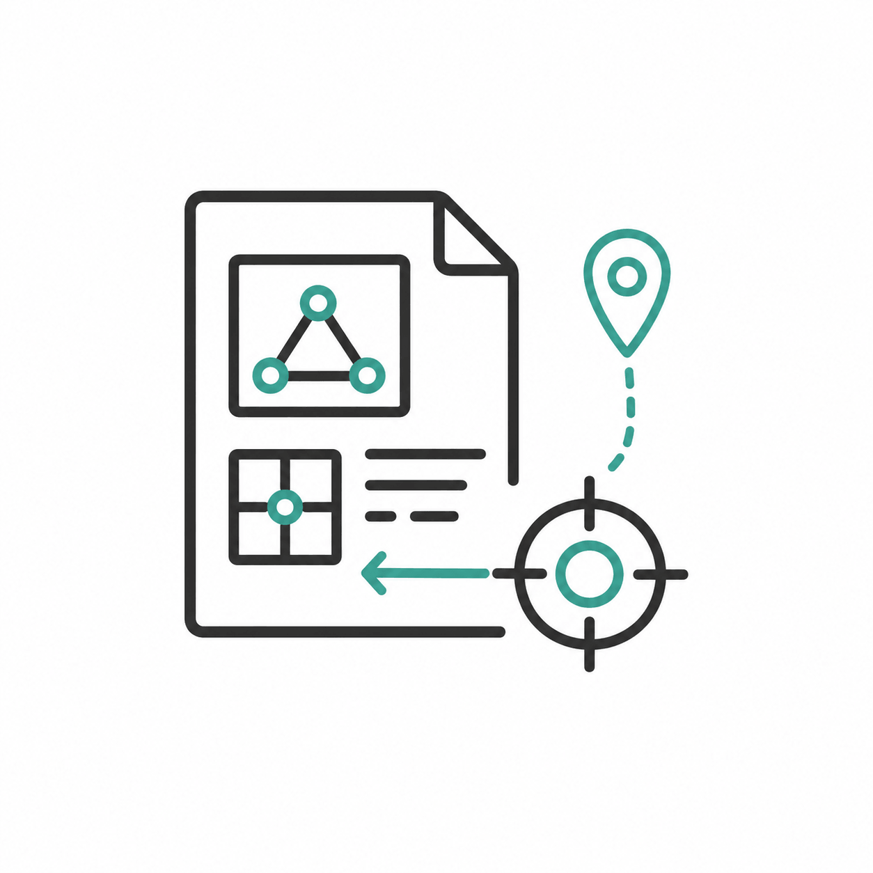
Assignment of known points by monograph
Allows defining a specific file as a control point and manually editing its coordinates (north, east, and height) based on the exact data from an official monograph.
Read contents list
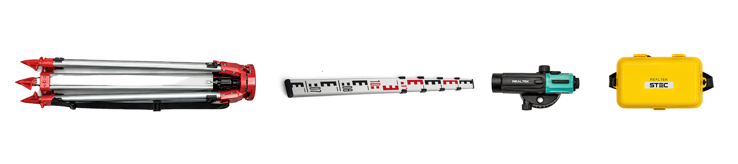
- 1 Aluminum Tripod
- 1 Aluminum Leveling Rod 5m
- 1 Calibration Certificate
- 1 Year warranty

Product warranty
Access to product training course
Exclusive Level 1 discounts
Direct training with our support team
Included in your purchase 12 months

In-person and online training
Factory and Realtek warranty
Official warranty and local Realtek support: diagnosis, coordination, and follow-up to get you back up and running quickly.
Yes. All our products include training through the free GoKeep program. Additionally, our support channel is always available to provide you with a quick response to any technical or commercial questions. You can find our WhatsApp contact directly in the footer of our website.
Yes, we ship to different regions of the country. The cost and delivery time may vary depending on the municipality or region of destination.
No, the published prices are net and VAT is added at checkout.