
Matterport Pro 3

From $6,690,000 + VAT or $663,425 for 12 months
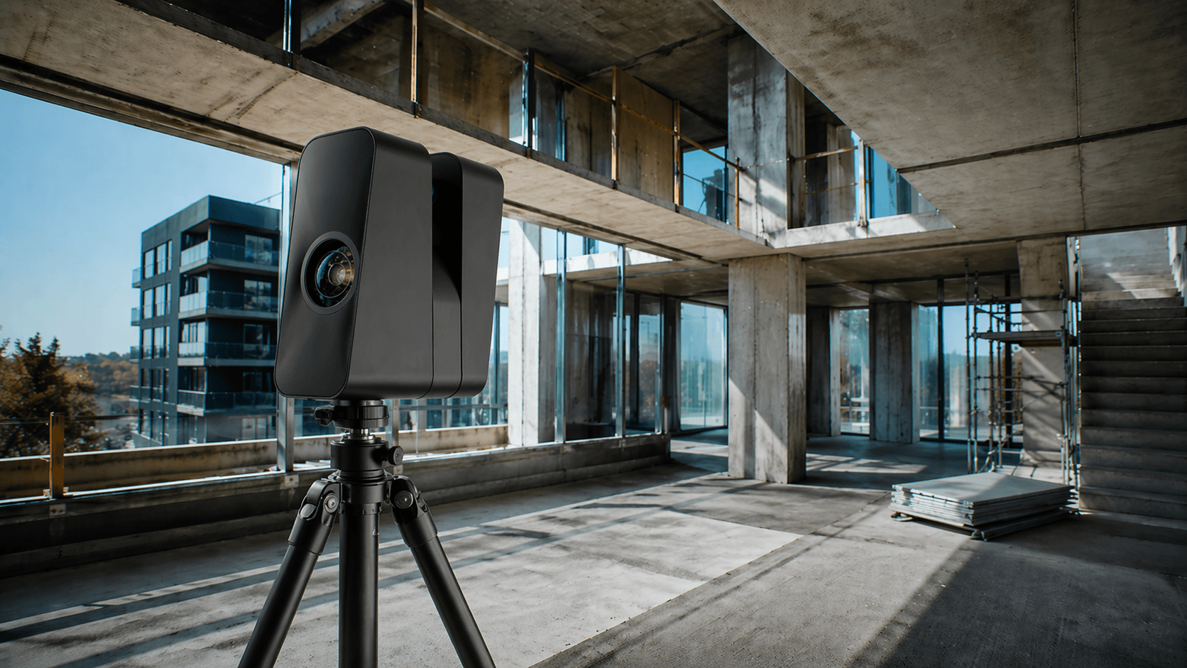
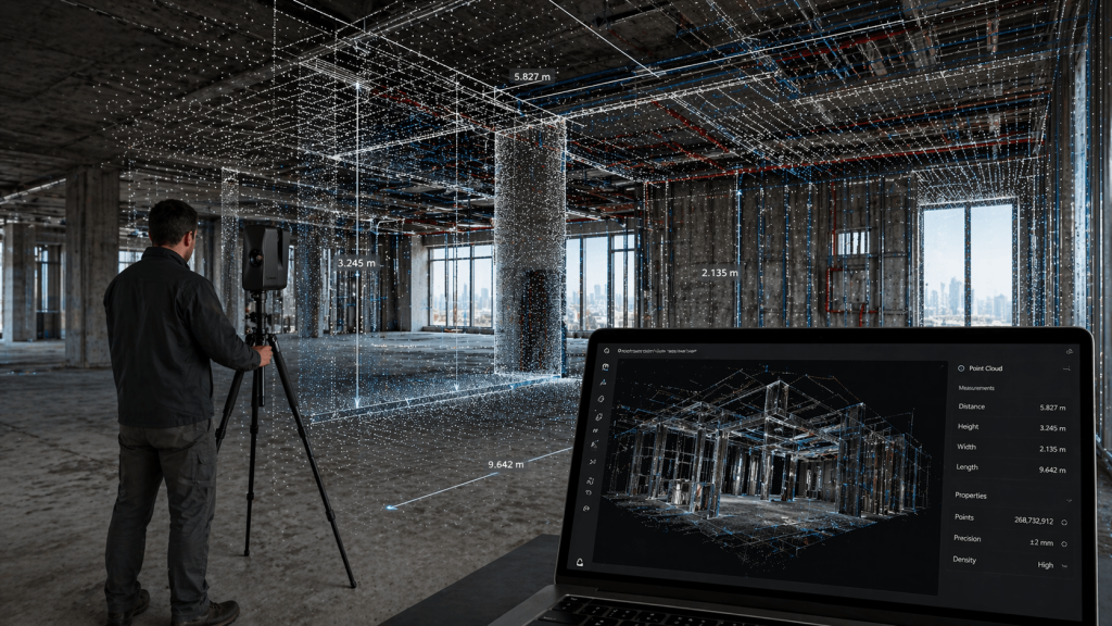
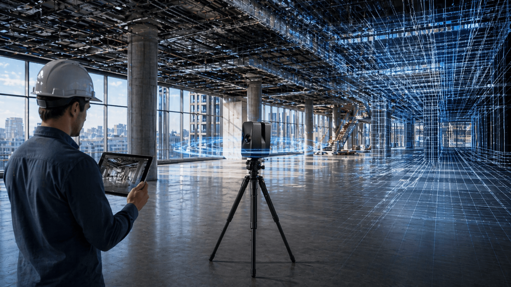
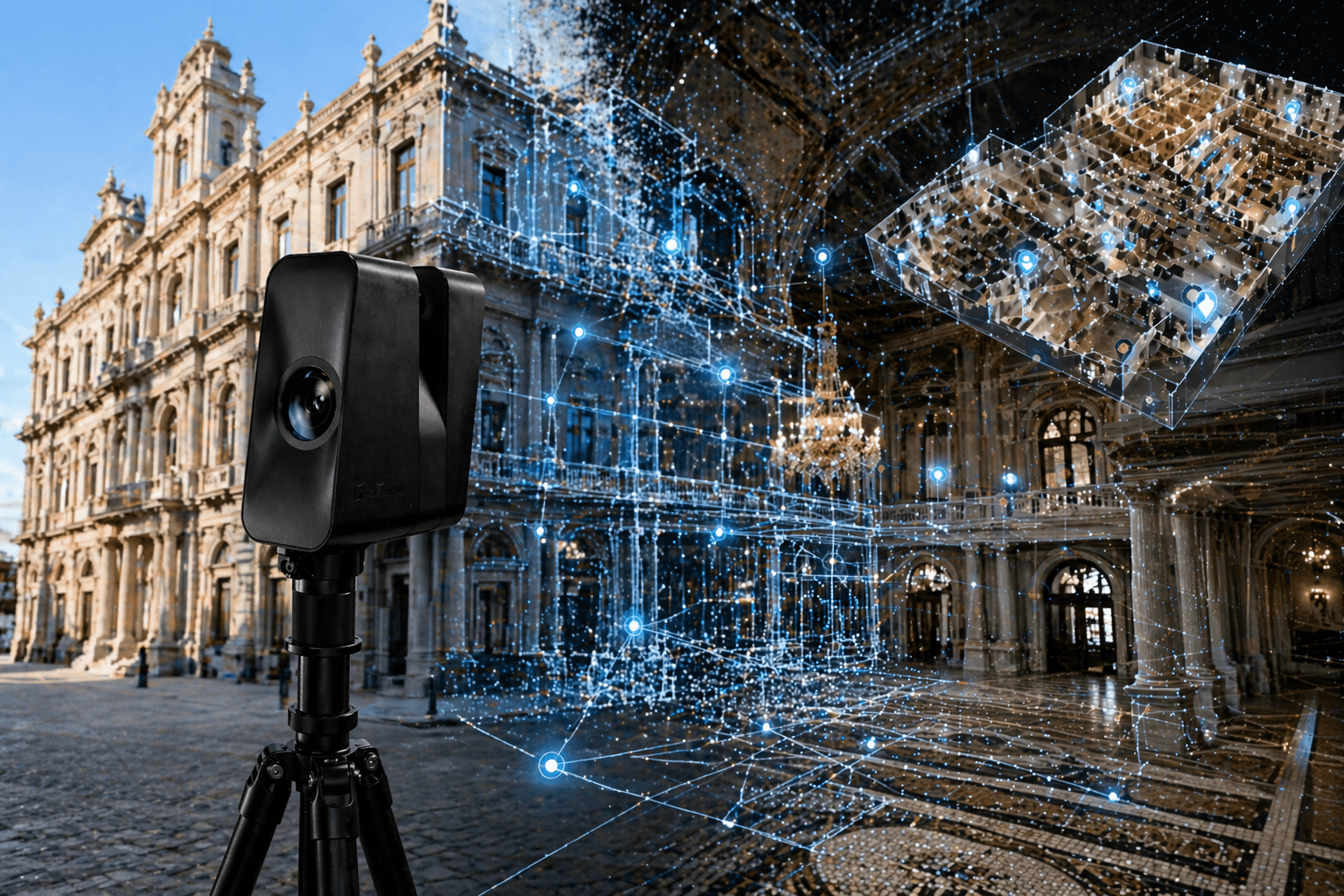
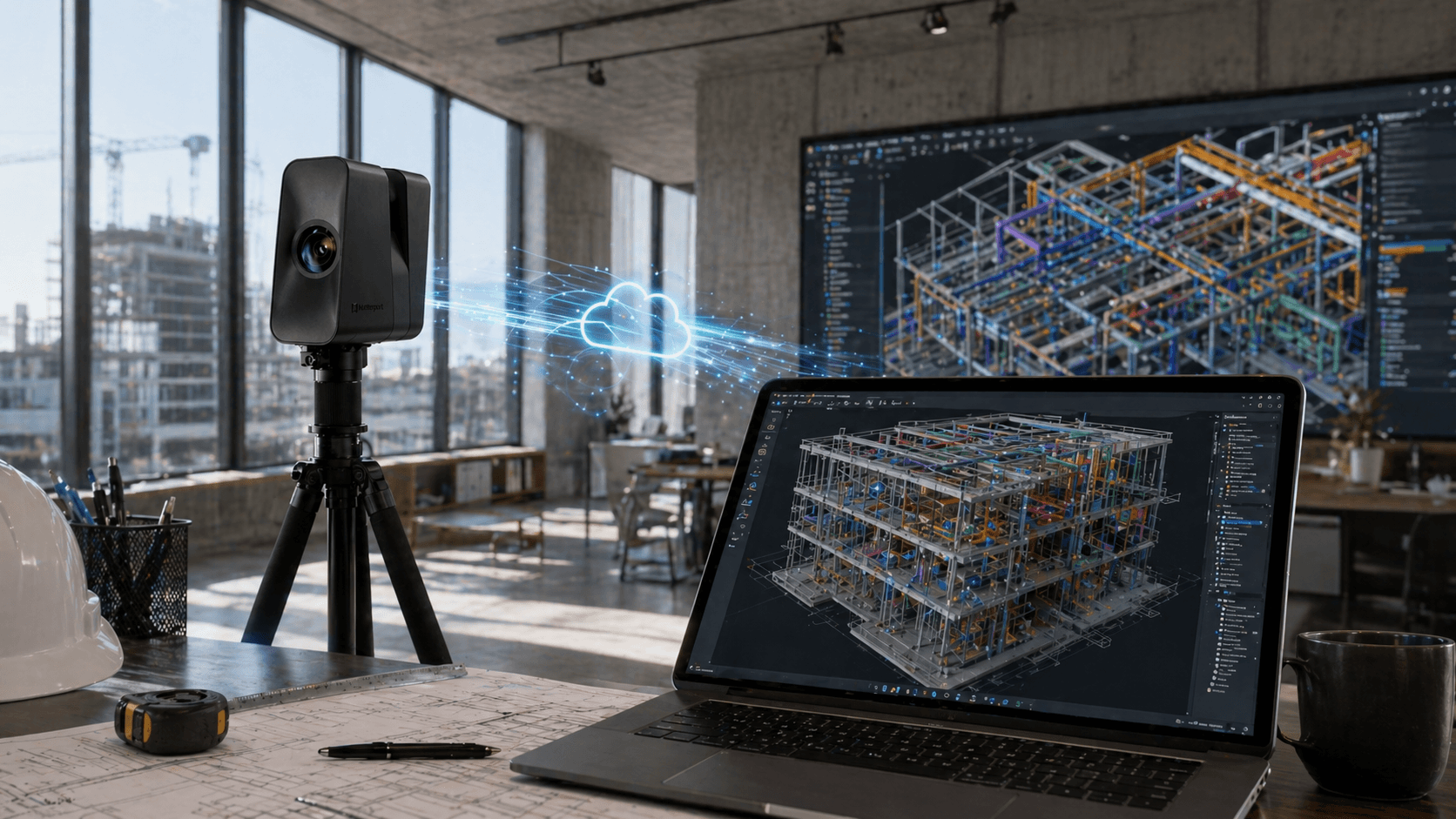
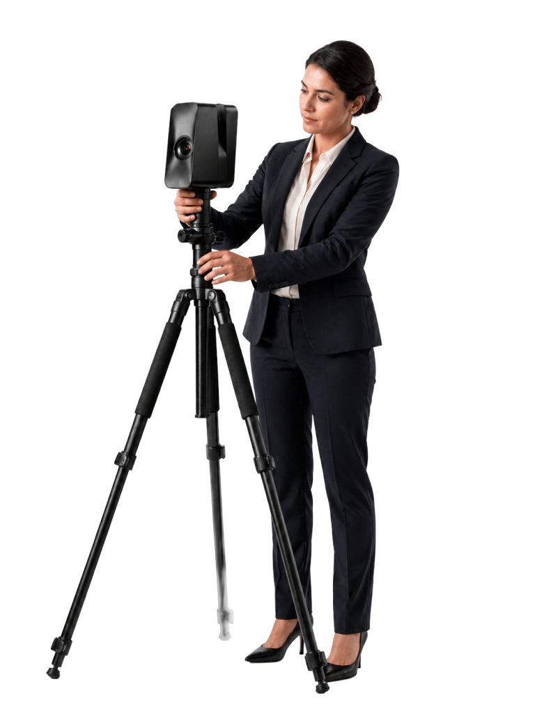
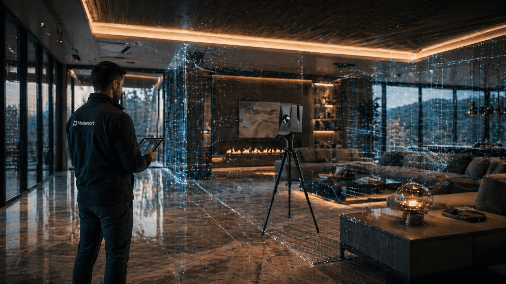
Transform real spaces into digital experiences with the new Pro3. Scan large-scale interiors and exteriors quickly, accurately, and with superior detail. Drive your company's digitalization with high-resolution digital twins that truly make a difference.

What makes it unique

Premium 134 MP + HDR Image
Get high-impact images with great sharpness, color, and detail for a more realistic representation of each space.
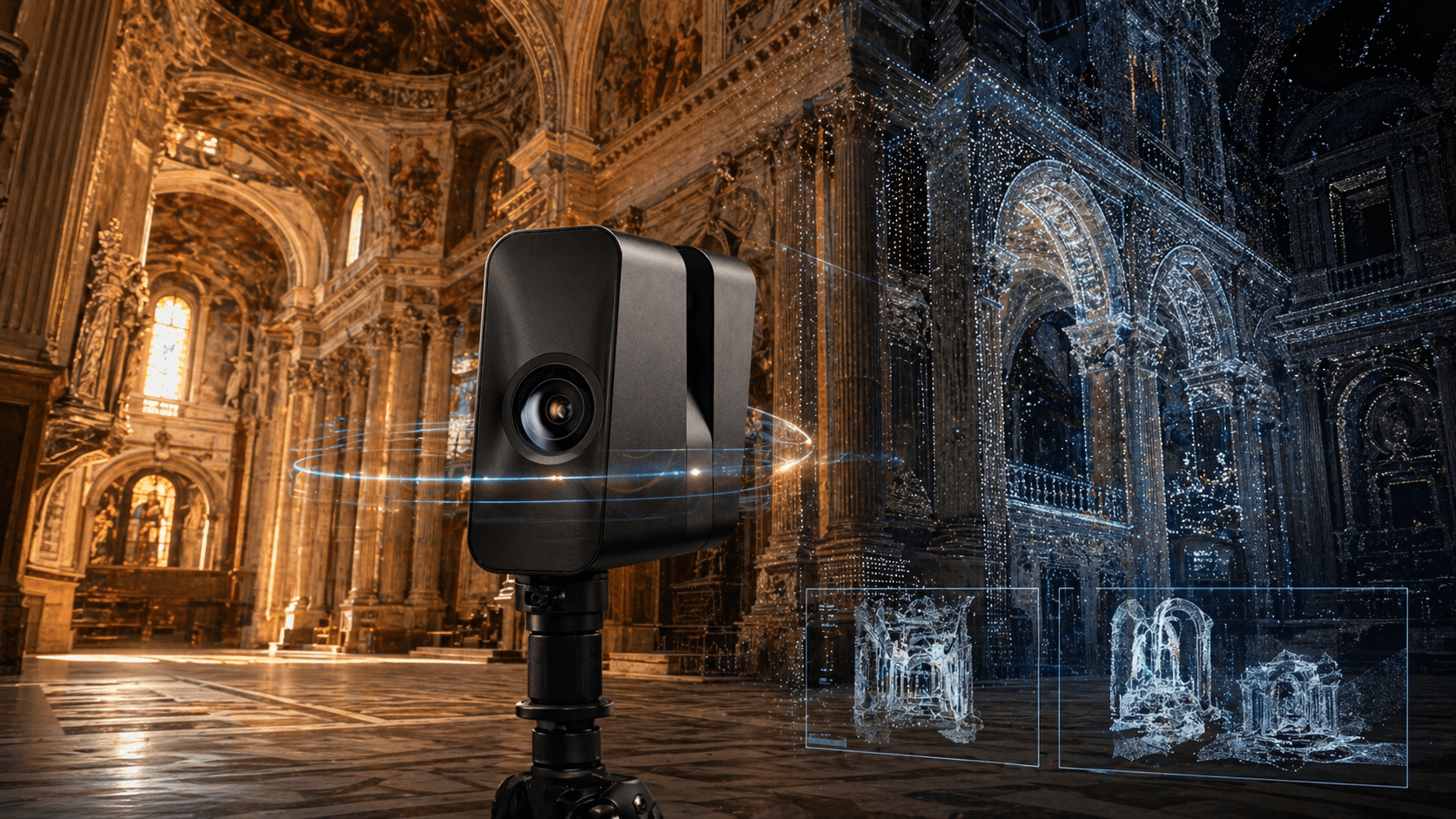
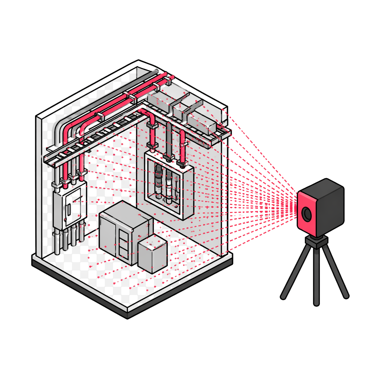
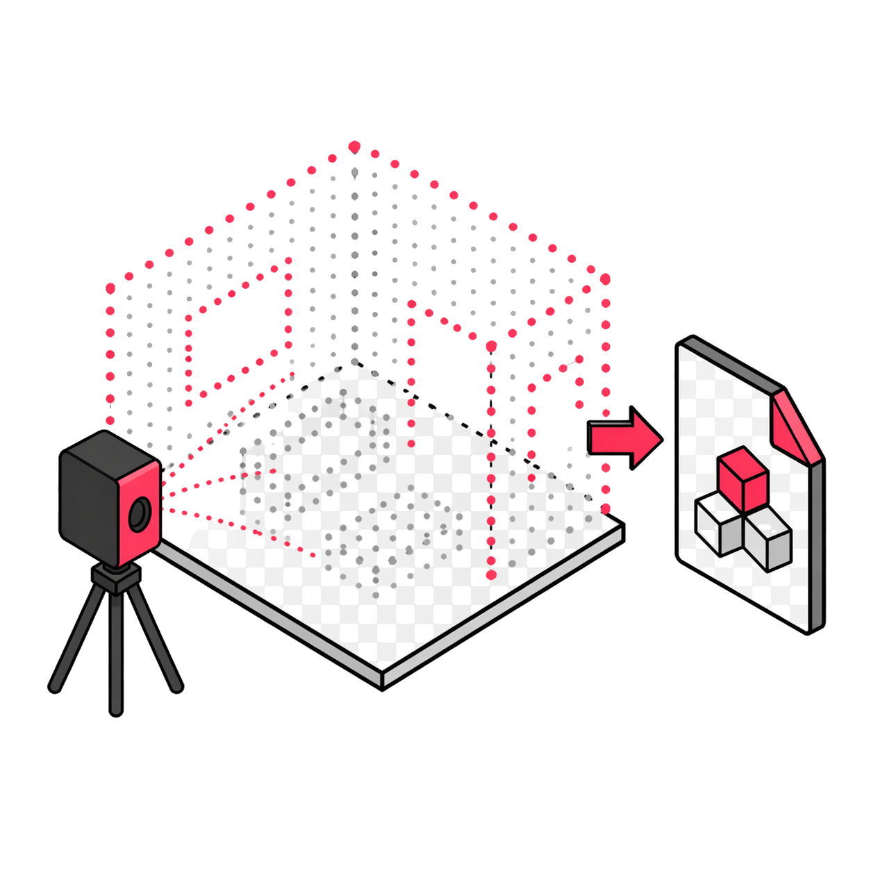
High-Range LiDAR
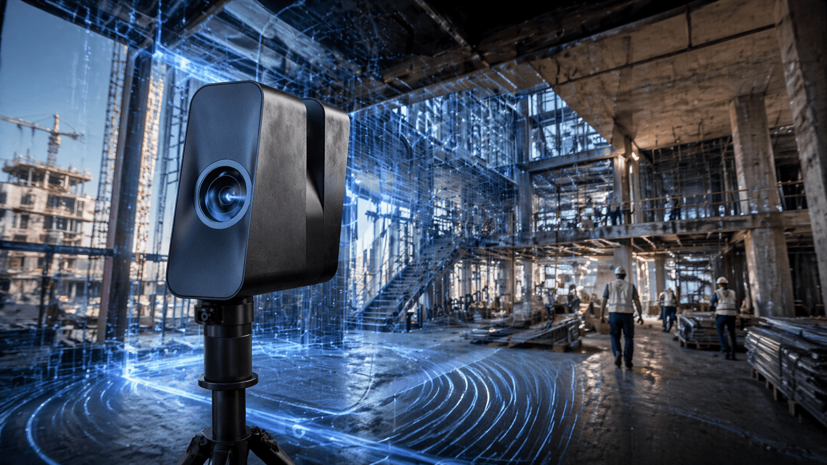
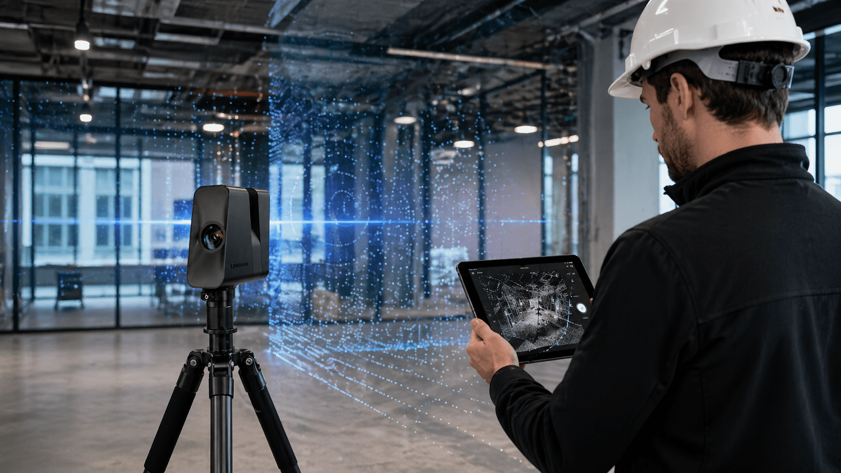
Scan large areas with professional precision and reliable results, even on large-scale projects.
Speed That Drives Your Work
Streamline every capture with superior performance, allowing you to complete more projects in less time.

Measuring remote and hard-to-reach points
has always been a challenge.

Premium Resolution
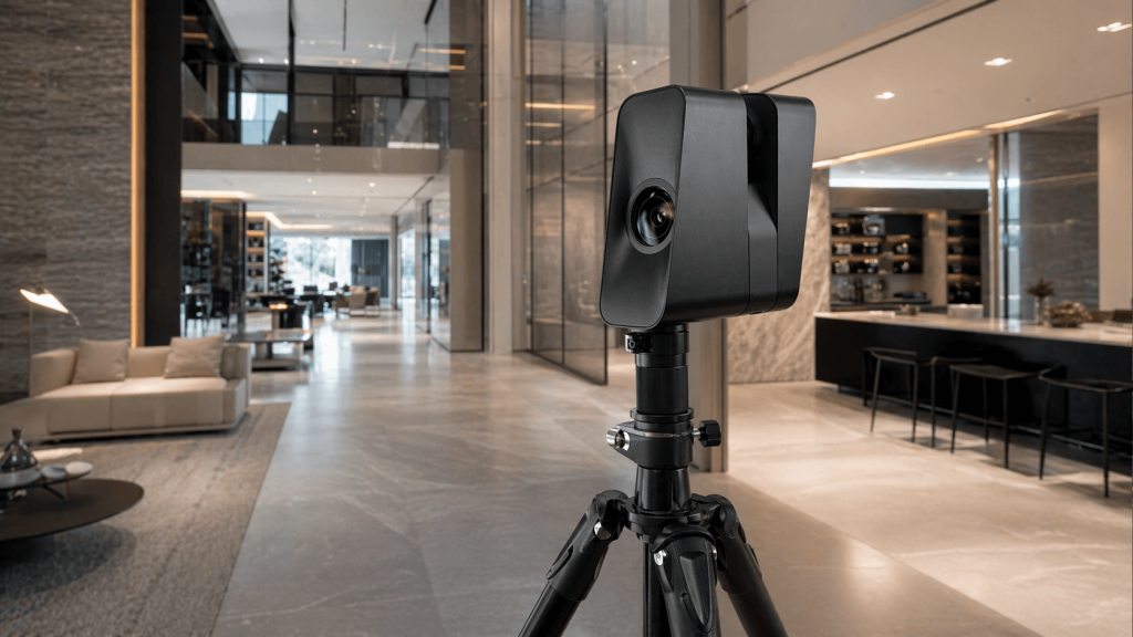
Offers unmatched image quality, capturing textures, colors, and fine details that make virtual tours photorealistic.
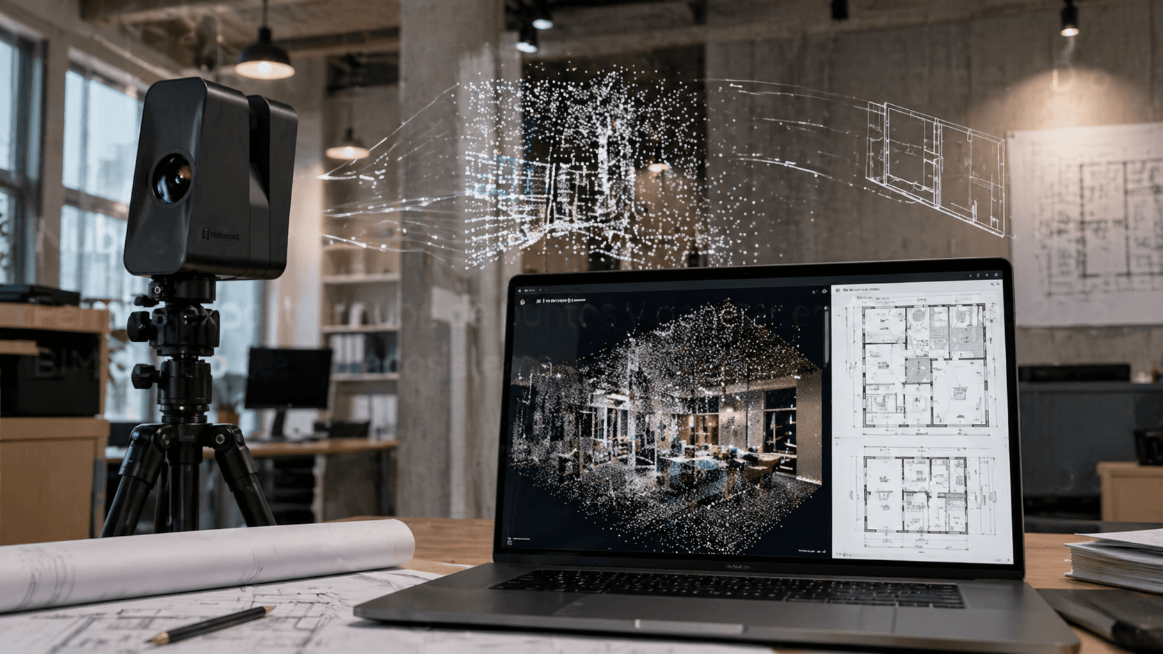
Precise Point Clouds
Generates dense and accurate point clouds that allow extracting reliable measurements for As-Built plans in BIM and CAD software.
Long-Lasting Battery
Scan multiple properties or large industrial facilities on a single charge, avoiding pauses for battery replacement.
Ultra-Fast Capture
Its fast scanning rotations minimize time on site, increasing the number of square meters you can document per day.

Immersive tours
in record time

Especially
created for you

Testimonial

“I highly recommend this tool because it will save you work time.”

Hector Soto – Espacio Habitable

More than 1000 satisfied customers.

It is not a coincidence.

Technical specifications
Accuracy
+/-20 mm @10 m
Capture rate

100k points/s
1.5M points per scan

Scan time
<20 s per scan
Panoramic resolution
134.2 MP

Digital Twins Platform

Matterport Platform

3D Digital Twin

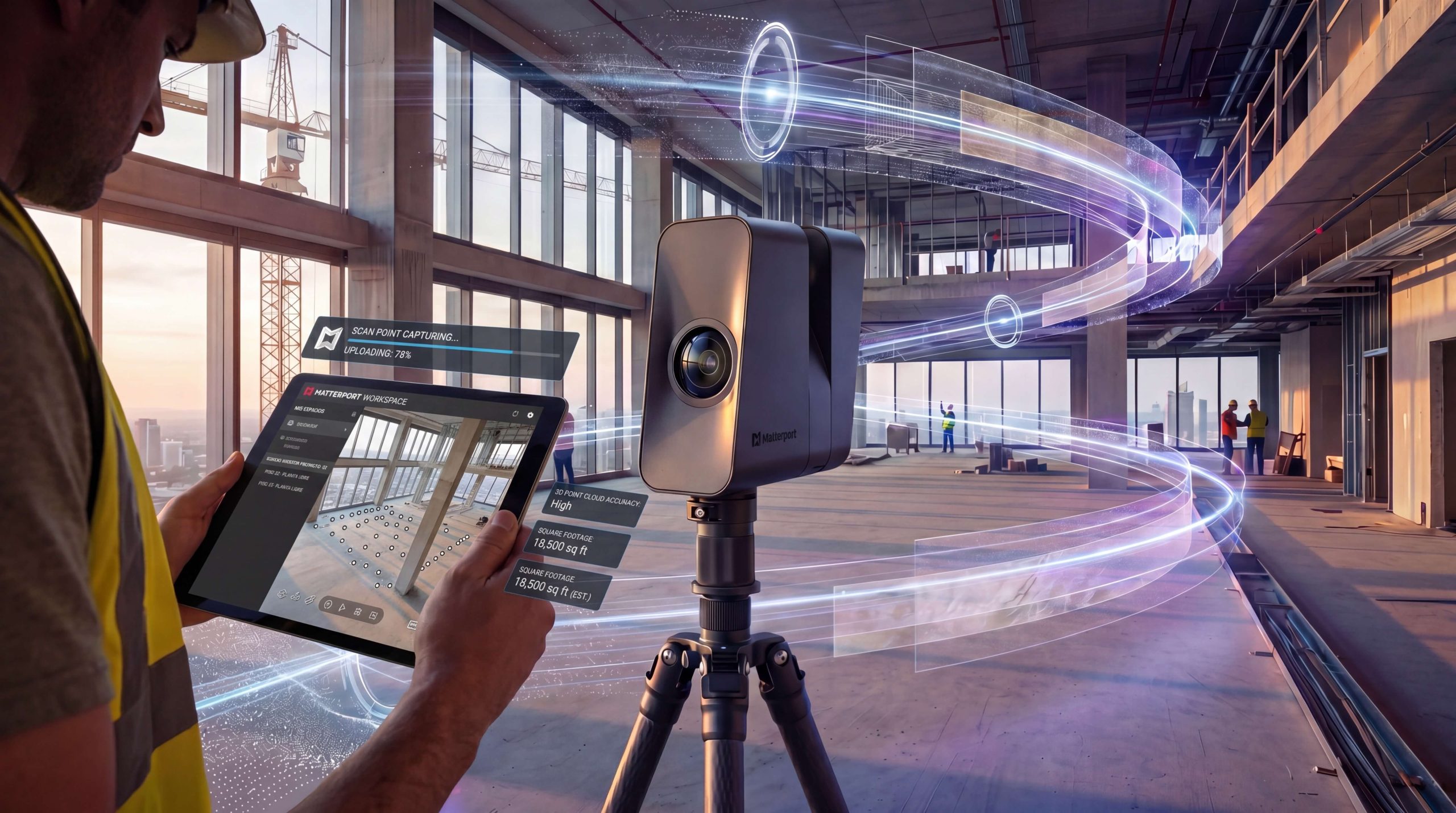
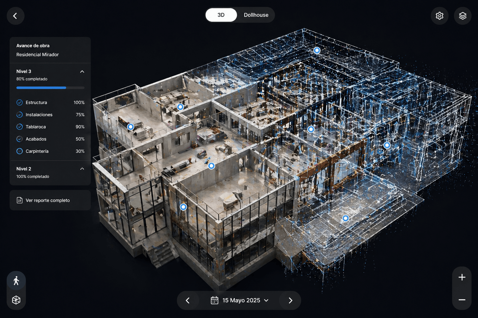
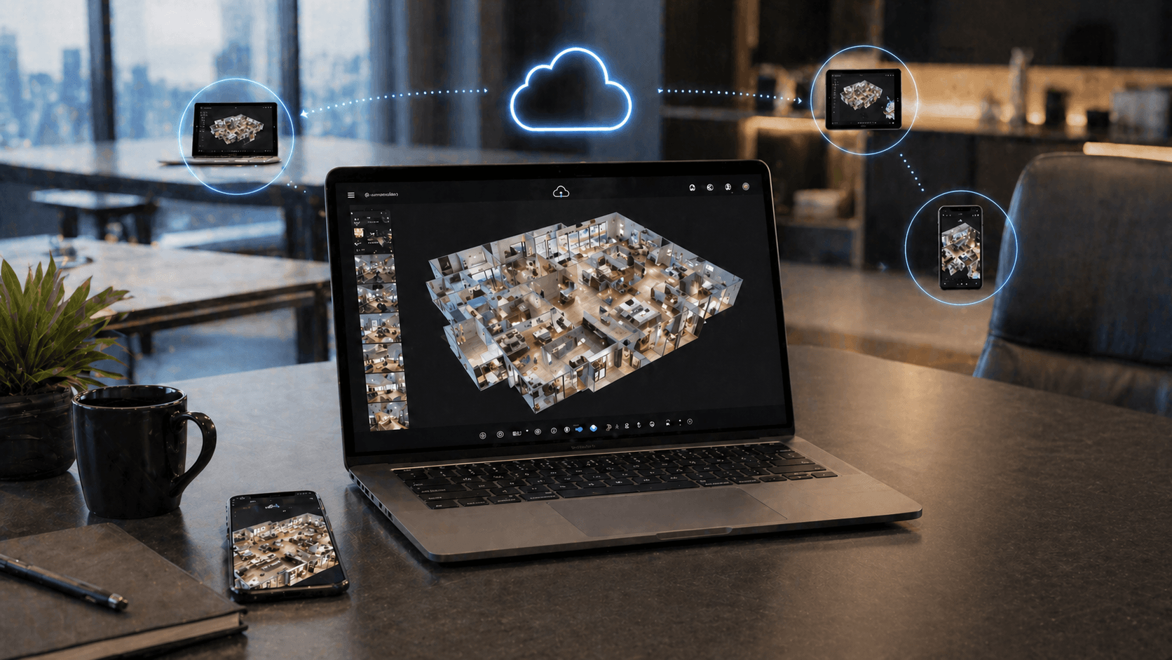
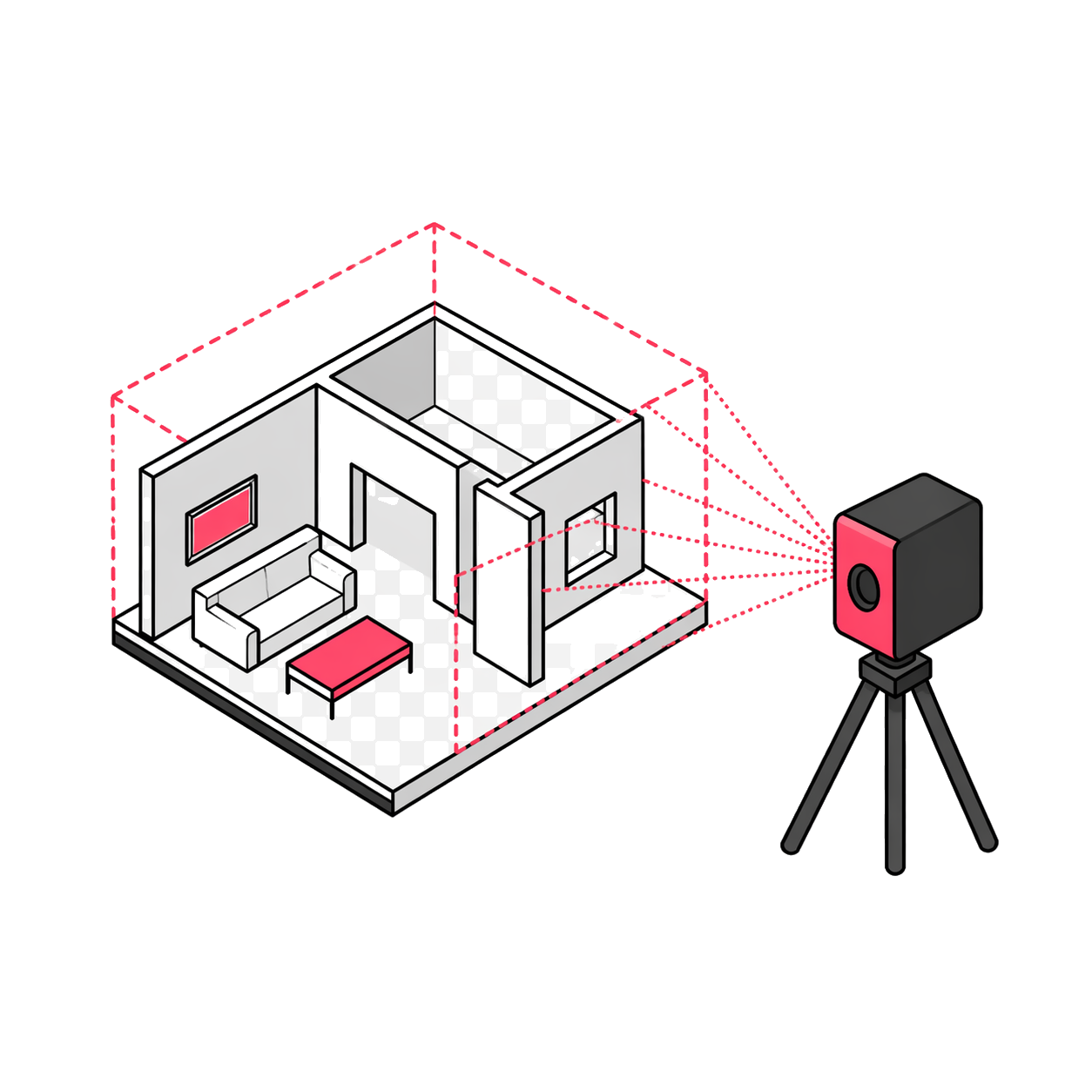
Create immersive digital twins to document existing spaces and share them without relying on constant site visits.

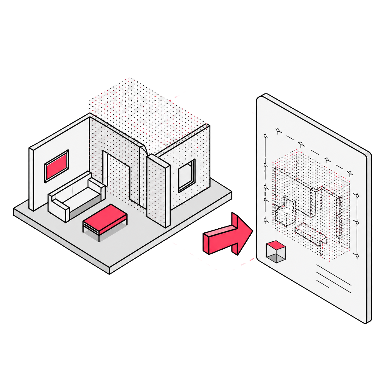
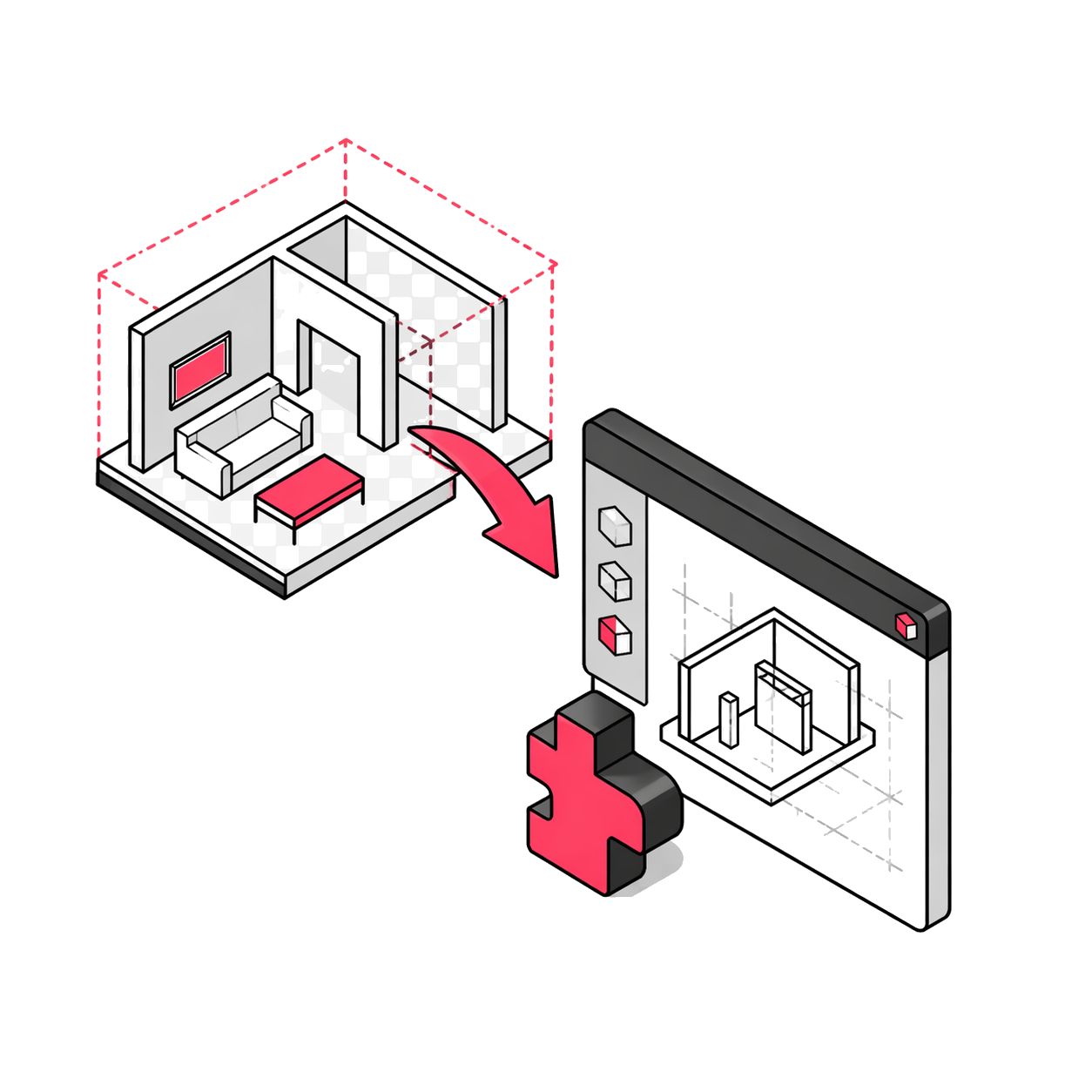
BIM/CAD Export

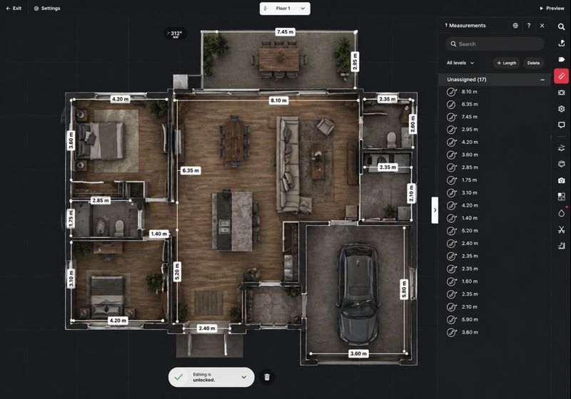
Generate BIM and CAD files from the digital twin, reducing manual conversions when starting modeling or coordination.

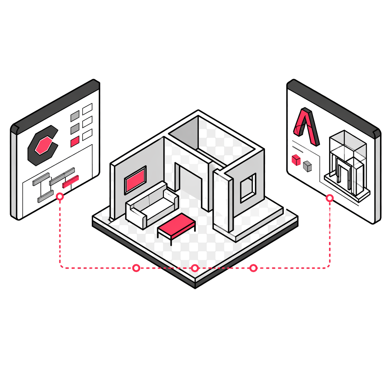
Procore and Autodesk Integration

Integrates with Procore and Autodesk to bring 3D visual context to the design, construction, and coordination workflow.

E57 Export

Delivers registered point clouds in E57, the neutral ASTM E2807 format, useful for 3D design, modeling, and as-built validation.

High Density with Pro3

High Density mode improves E57 fidelity in fine elements such as pipes or wiring.

Plugin for Revit

Its Revit add-in imports E57, XYZ, and BIM directly from the Matterport account, without extra conversion.

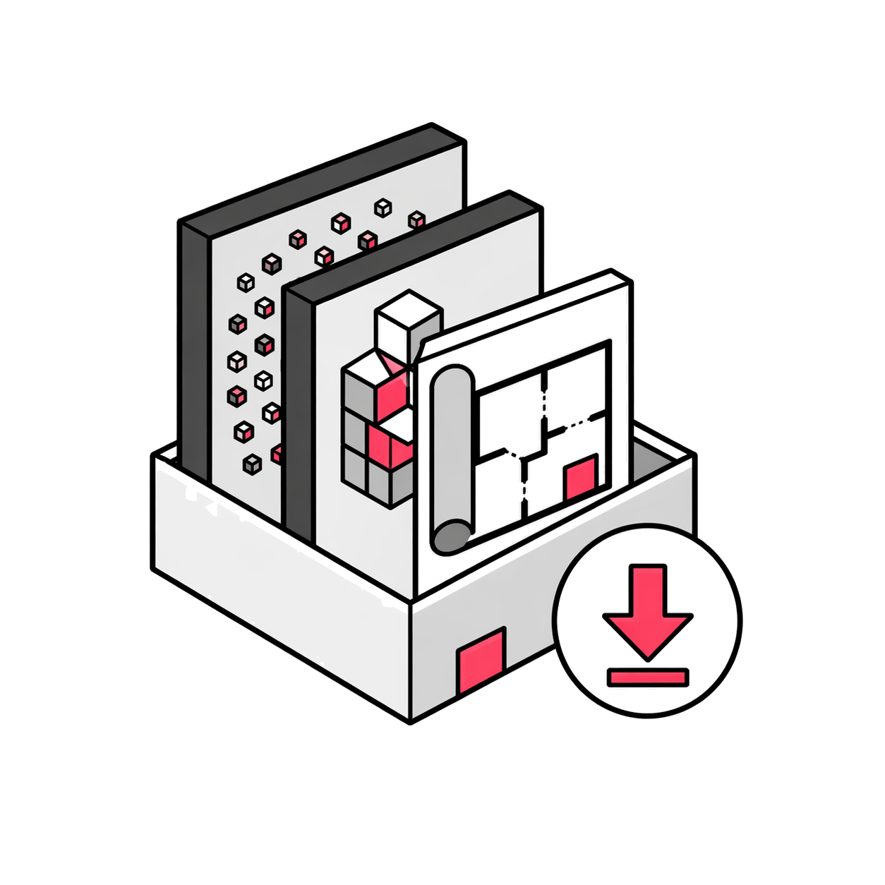
Downloadable MatterPak

MatterPak delivers XYZ cloud, OBJ mesh, and plans or false skies in JPG or PDF for different design workflows.

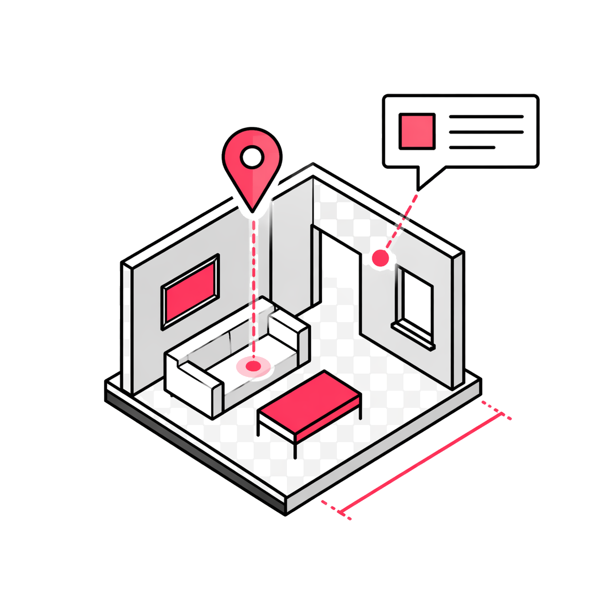
Tags, notes and measurements

Allows adding tags, notes, and ad hoc measurements to communicate findings, context, and data directly on the model.

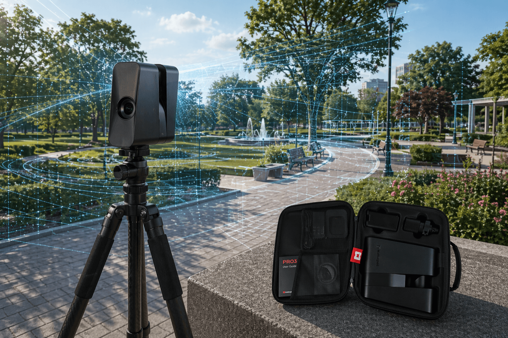
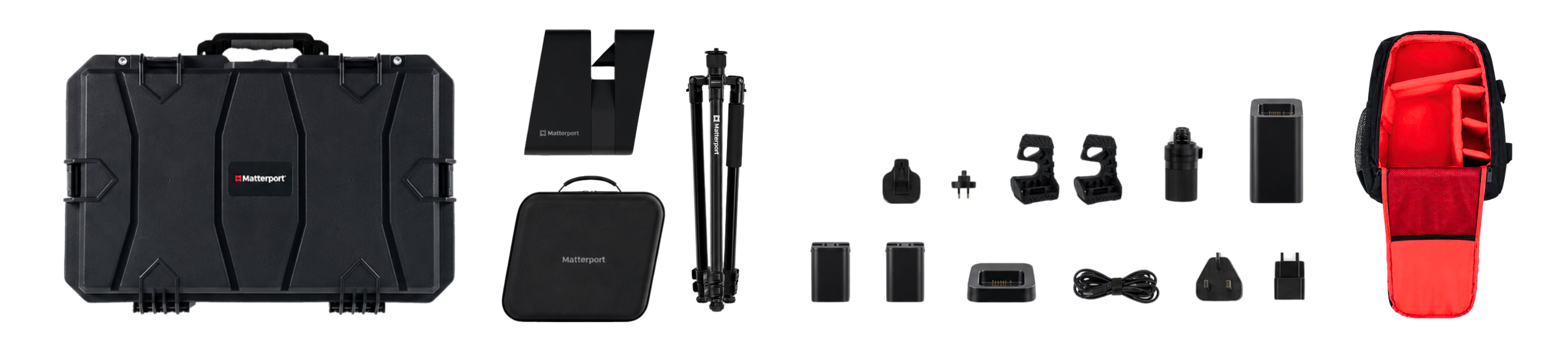
What's in the box?

It also includes

Product warranty

Access to product training course

Exclusive Level 1 discounts

Direct training with our support team

Free

Included in your purchase 12 months

Do you have questions?

Do you have questions?

Yes, unlike the Pro 2, the Pro 3 uses LiDAR and works perfectly in open spaces.
Yes, to host and share Matterport virtual tours, a monthly subscription on their Cloud platform is required.
Yes, Matterport allows downloading the "MatterPak" or .e57 files that are compatible with Revit, ZWCAD, AutoCAD and other BIM software.
Yes. The Matterport Pro3 incorporates a LiDAR sensor, allowing it to capture 3D data with greater accuracy and work both indoors and outdoors. The Pro3 has an accuracy of ±20 mm at 10 m, a field of view of 360° horizontal and 295° vertical, and captures up to 100,000 points per second. In simple terms: it is not just a 360° camera. The Pro3 combines imaging and LiDAR to generate more complete, accurate, and professional digital twins, ideal for architecture, construction, real estate, retail, facilities, heritage, and documentation of real spaces.
The Matterport Pro3 is designed for professional capture sessions. Its removable battery allows approximately 230 scans per charge, and with additional batteries it is possible to extend the work session continuously on large projects, indoors, outdoors, construction sites or facilities.

Yes. All our products include training through the free GoKeep program. Additionally, our support channel is always available to provide you with a quick response to any technical or commercial questions. You can find our WhatsApp contact directly in the footer of our website.

Yes, we ship to different regions of the country. The cost and delivery time may vary depending on the municipality or region of destination.

No, the published prices are net and VAT is added at checkout.
Talk to an advisor

Response in less than 5 minutes.

Experts in precision

Discover more solutions by category.

GNSS Systems

Laser Scanner

Cameras

Total Stations

Detection Systems

Levels

Software