Manage your digital twins online

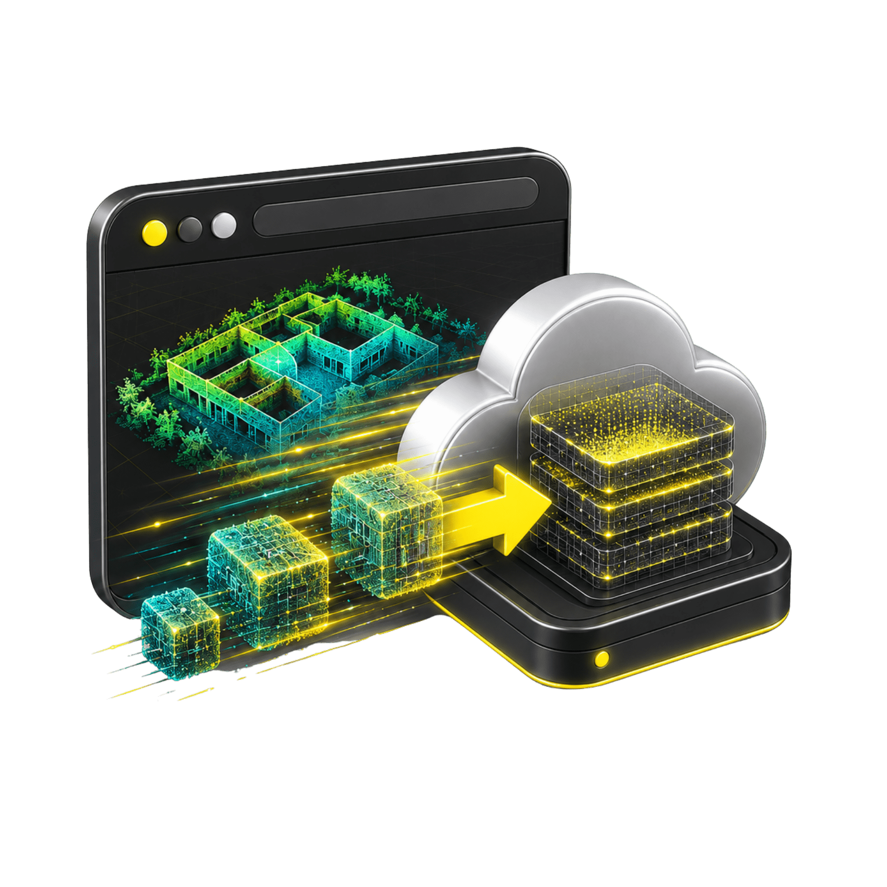
FJD Trion Explorer is an immersive online platform for uploading, managing, and viewing digital twins from PC, Tablet, Web, and Mobile Devices. It allows working with point clouds, meshes, Gaussian 3D models, and virtual tours.

FJD Trion Explorer

Explore, measure and share 3D digital twins

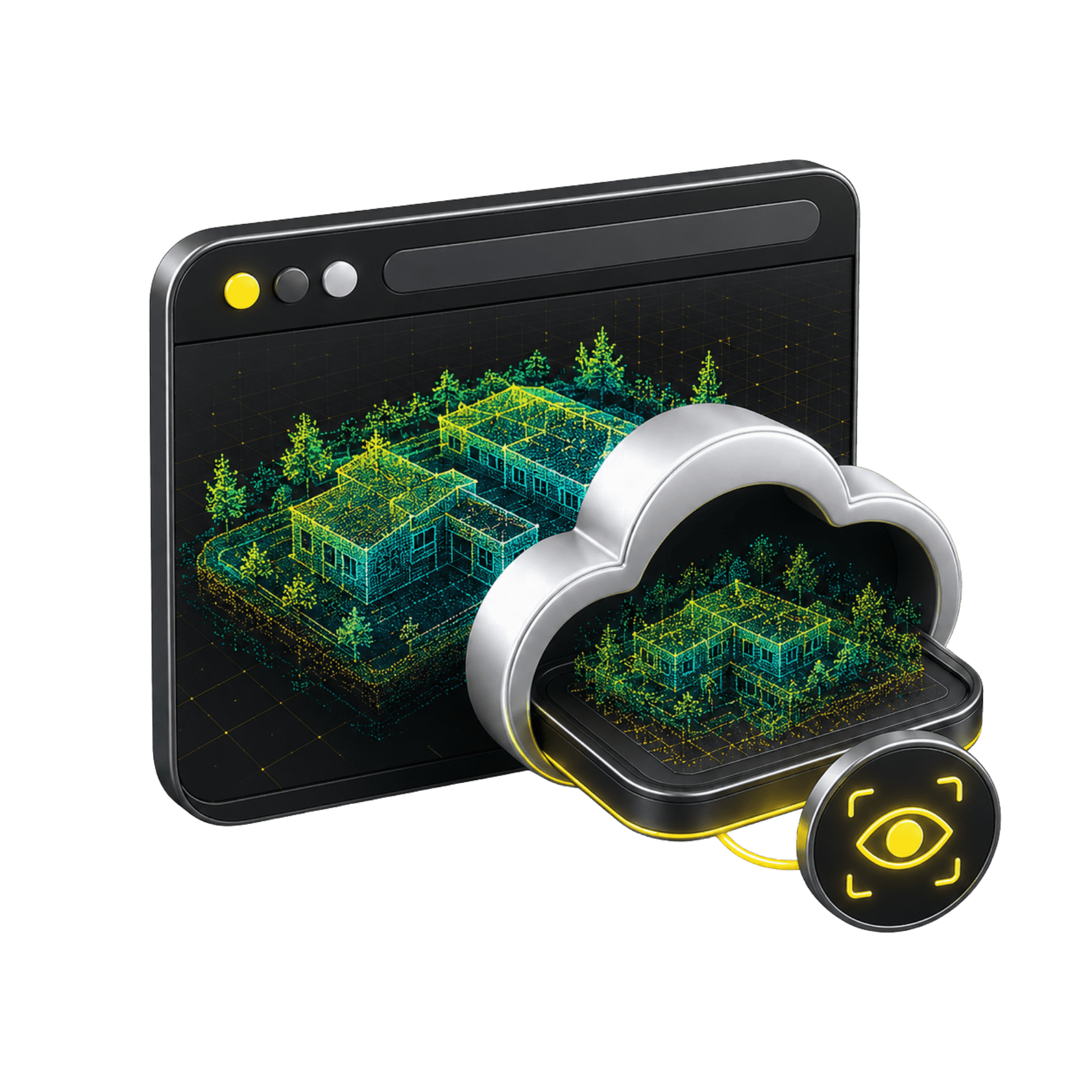
Cloud Collaboration
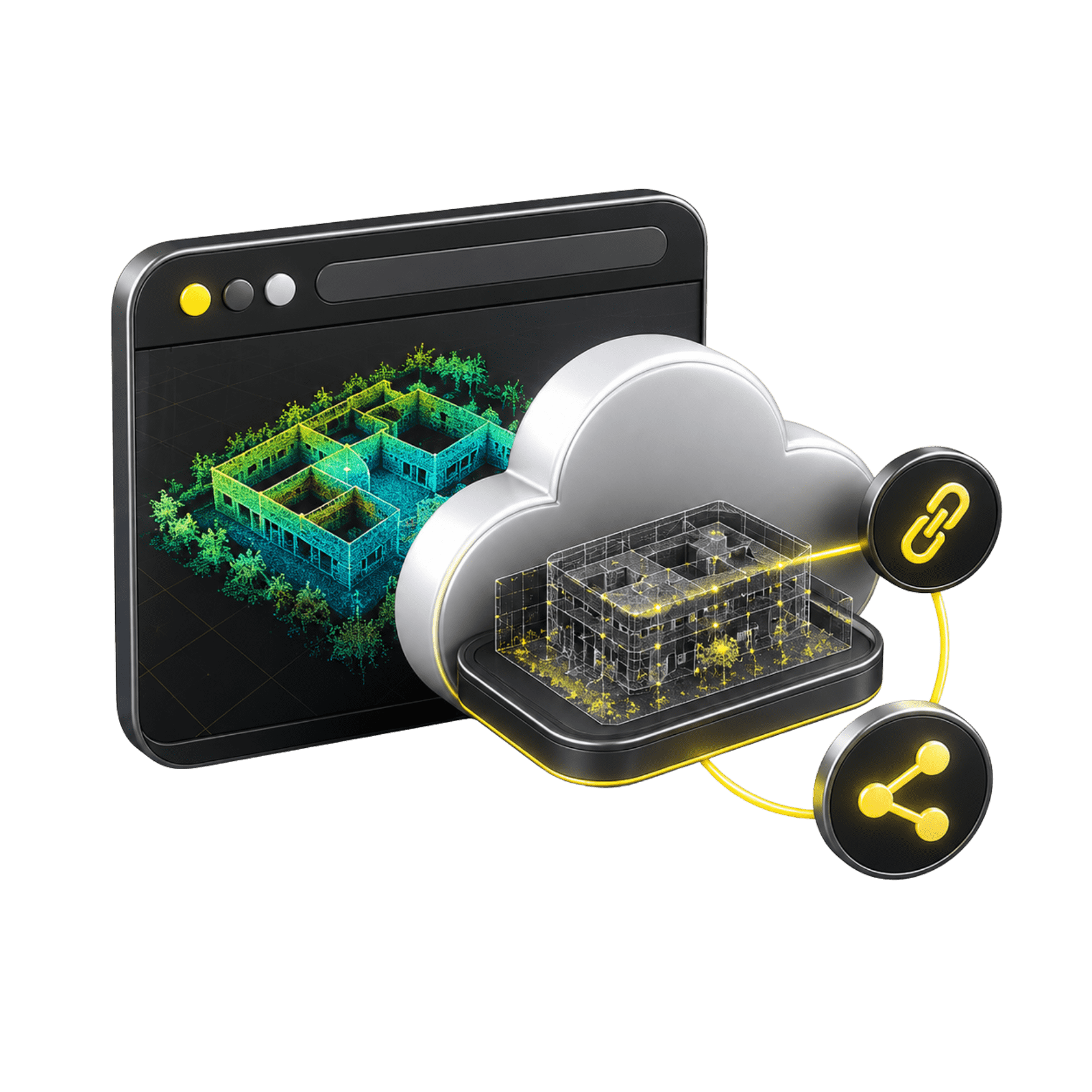
Allows sharing models and tours via link, with encrypted data and access from different devices in the team.
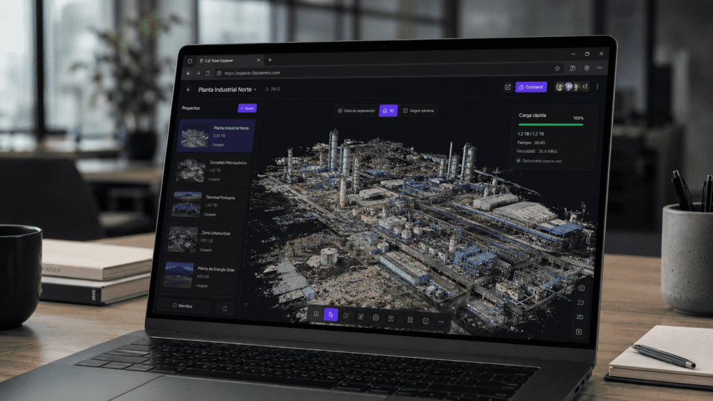
Fast loading of large models
Its parsing architecture helps open large-scale files with smooth interaction even with limited bandwidth.
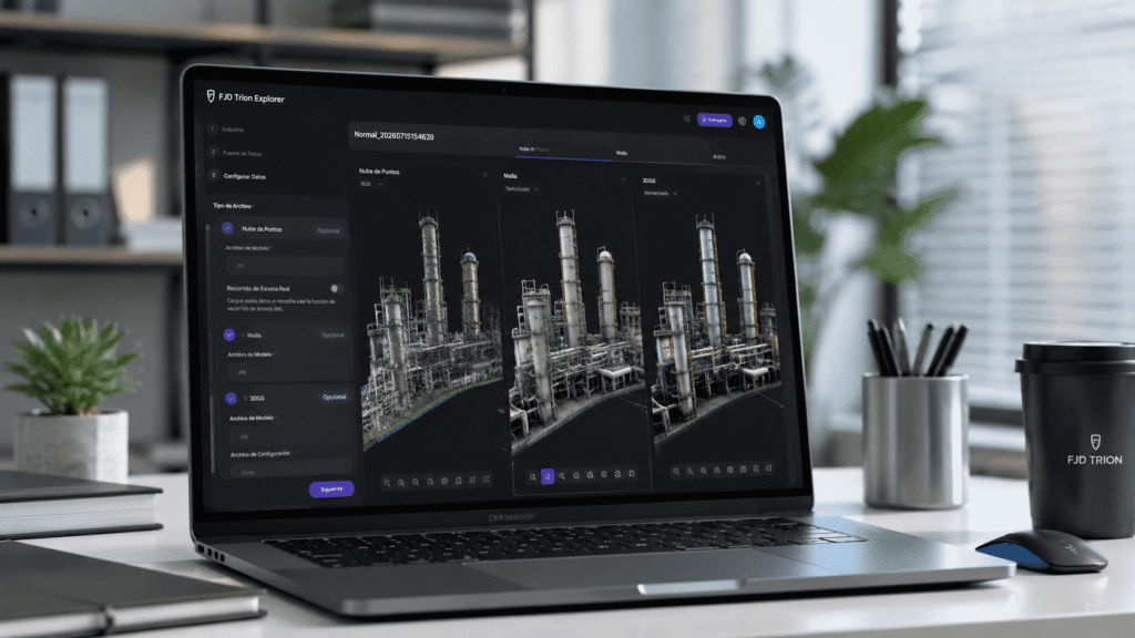
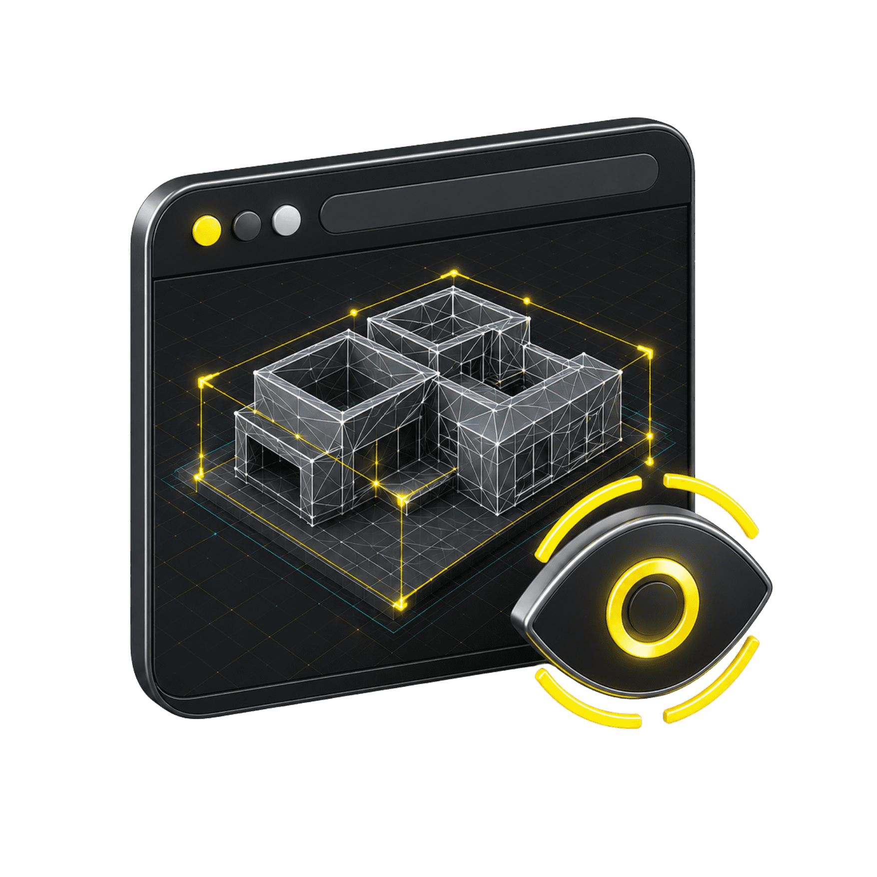
Multi-format 3D visualization
Allows reviewing point clouds, meshes, and Gaussian 3D models from the browser, without relying on software installed on a specific computer.
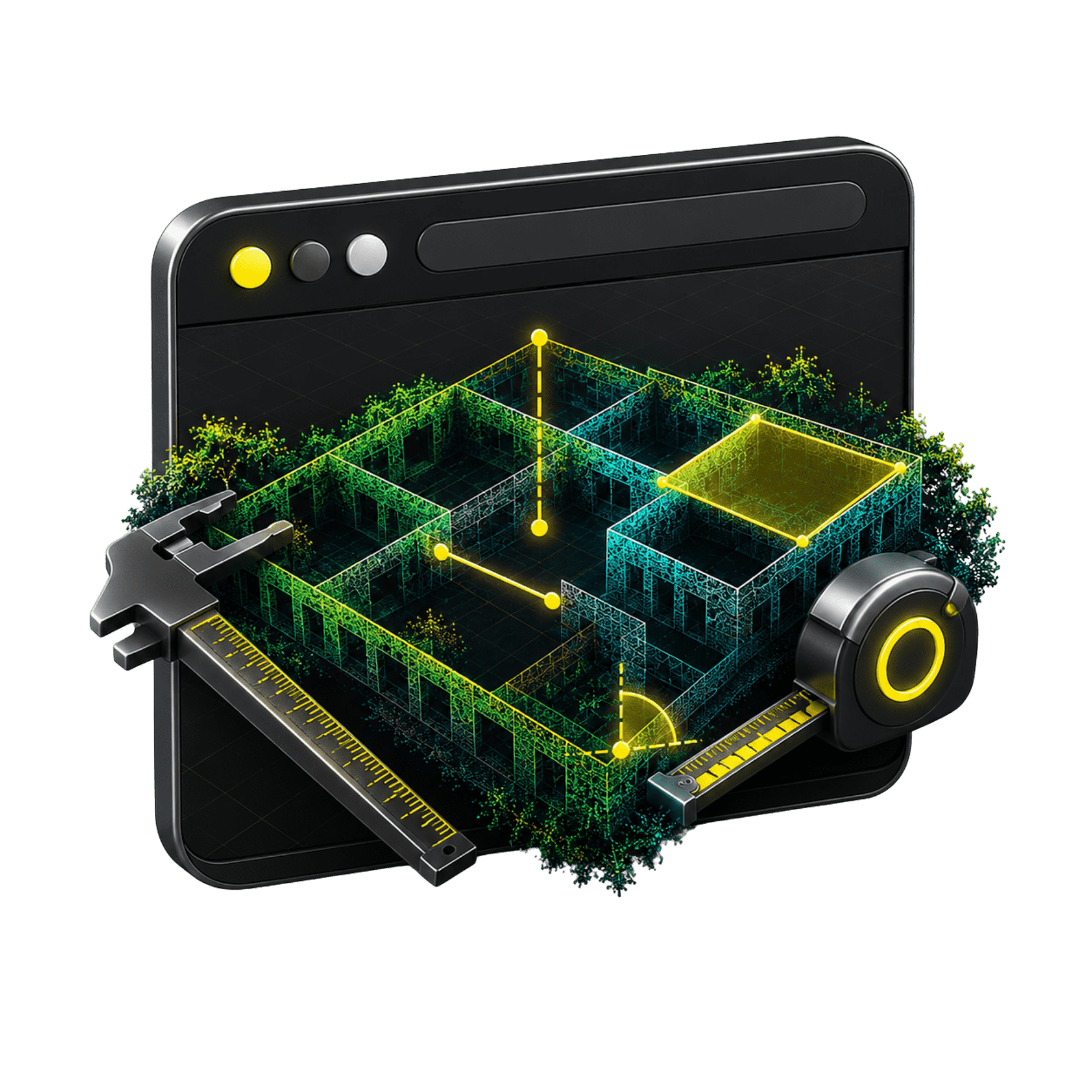
Measurement and virtual tour
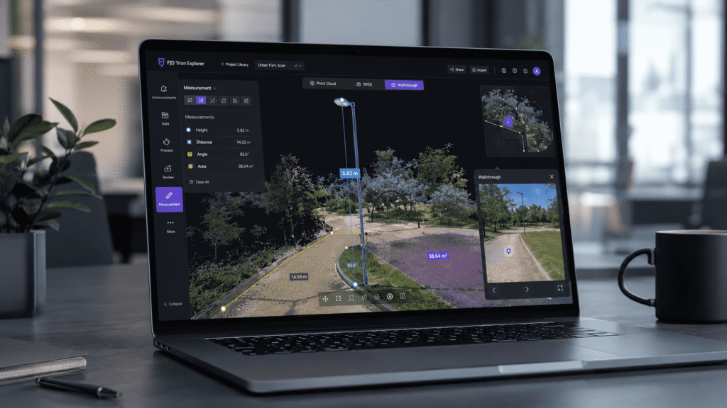
Allows measuring points, distances, heights, angles, and areas, as well as navigating the model in first person to inspect the space intuitively.

3D digital twins
always accessible

Unlimited features

Fast upload of large files

The platform uses parsing technologies to load large-scale models and maintain smooth interaction.


Cloud visualization

Allows loading and reviewing point clouds in various compatible formats, with interactive navigation from the browser.

Mesh visualization

Allows reviewing mesh models from the cloud, regardless of the system or device used.

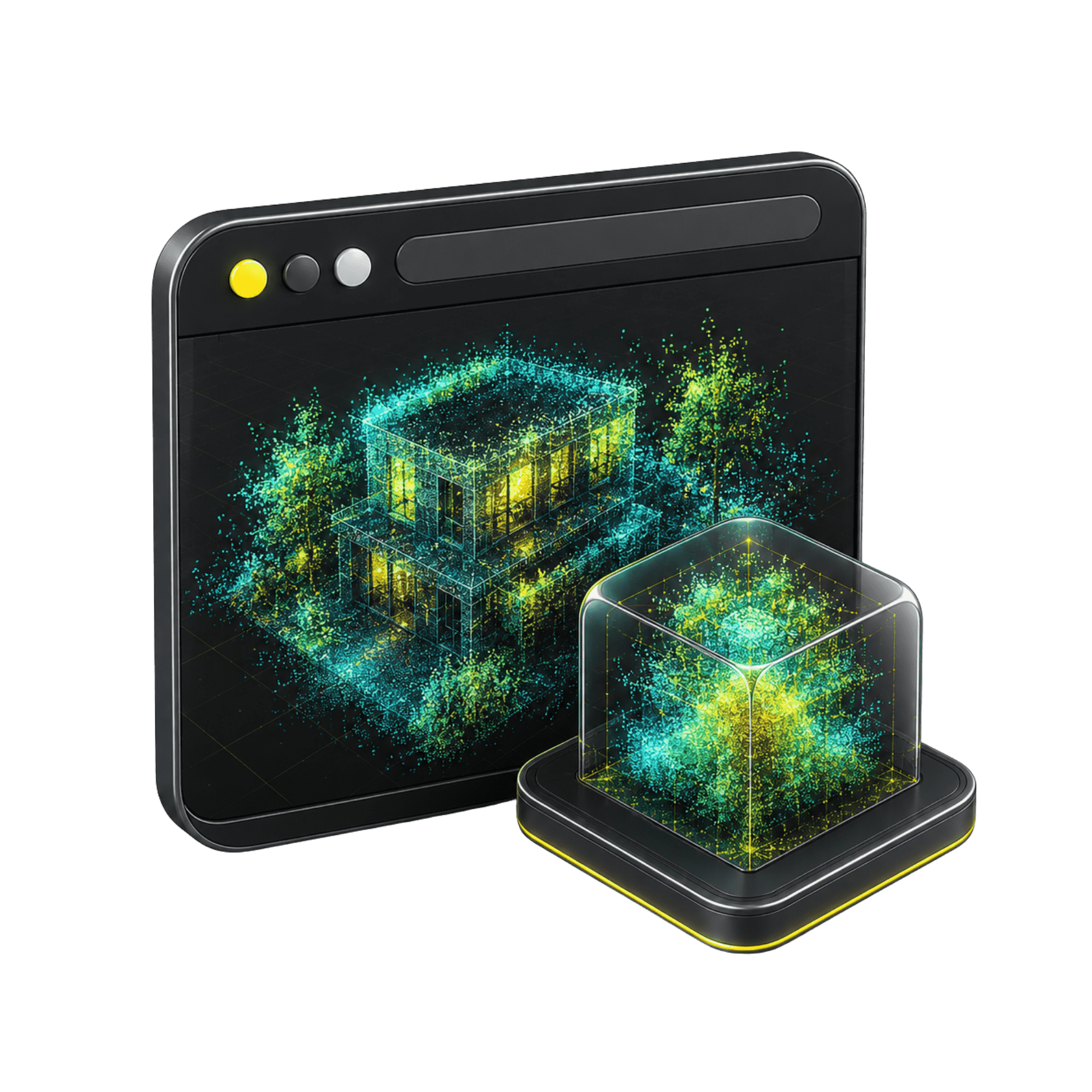
Support for 3D Gaussian

Visualize 3D Gaussian models with optimized web compression and lossless viewing option.

Measurement tools

Includes point, distance, height, angle, and area measurements directly on the model.

Links with configurable permissions

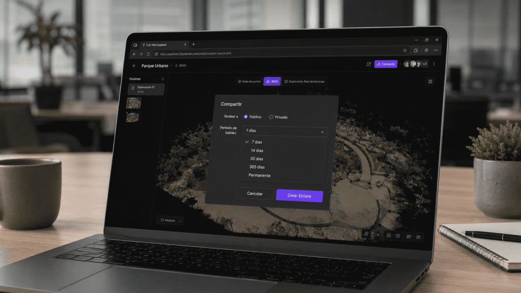
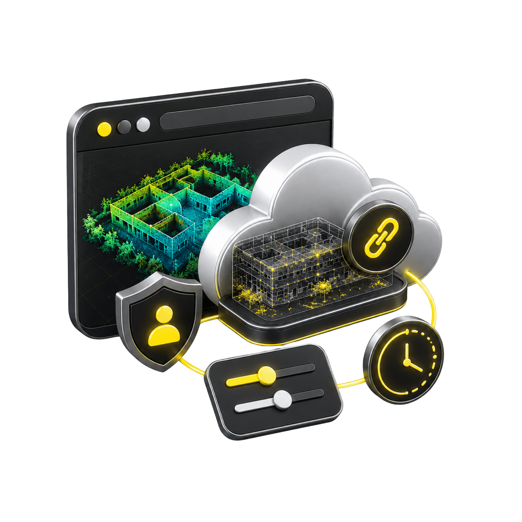
Allows sharing projects with public or private links and configurable duration from 7 days to permanent.

Cloud collaboration without login

Share 3D models and tours via browser-visible links, without requiring the recipient to log in.

Image and point cloud fusion

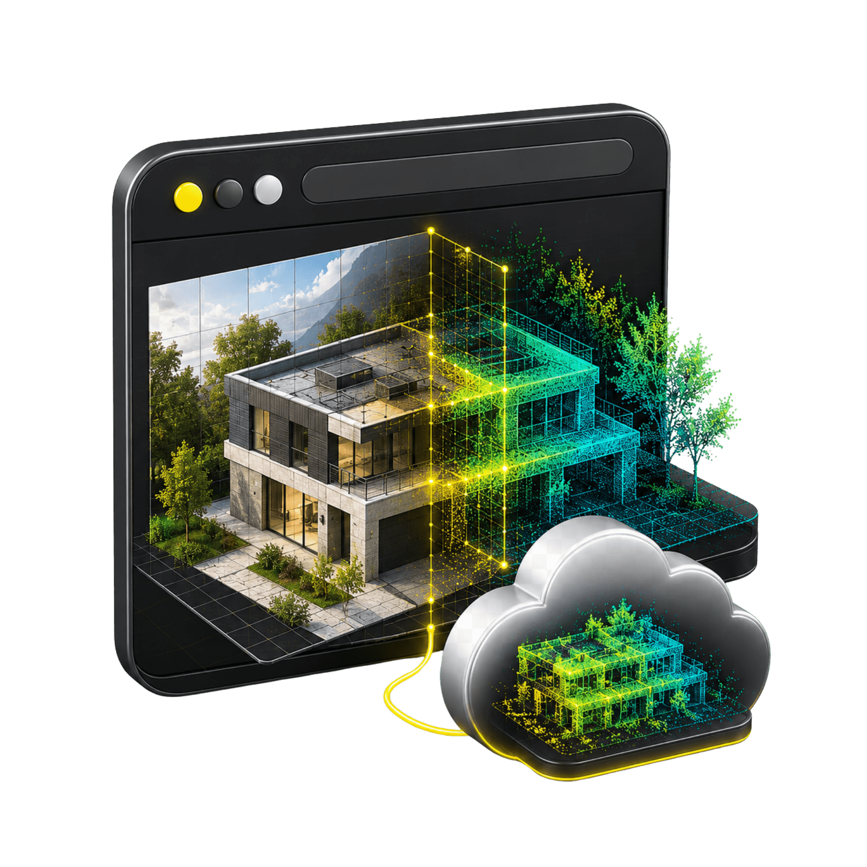
Align LiDAR data with RGB images to integrate geometric precision and visual detail during exploration

Minimum requirements

Cloud access

Online platform

Devices

PC, tablet, web and mobile

Platforms

Windows/macOS/iOS/Android

3D Formats

.LAS, .OBJ, E57, RCP and .PLY

+200 functions that will make your work much easier.

Leader and recognized
worldwide

Over 200 satisfied customers.

It is not a coincidence.

Do you have questions?

Do you have questions?

It is an online platform for uploading, managing and viewing digital twins. The sheet indicates support for point clouds, meshes, 3D Gaussian models and panoramic videos, with access from PC, tablet, web and mobile devices.
Point clouds in .LAS, e57, rcp format, meshes in .OBJ format and 3D Gaussian models in .PLY format. It also indicates loading and management of panoramic videos, but does not detail video formats.
Yes. 3D digital twins and tours can be viewed directly from the browser via shared links without login. Permissions can be set to public or private.
Tools for measuring point, distance, height, angle, and area. It does not report tolerances, metric precision, or technical measurement conditions, so these data must be validated before publishing.
Use from PC, tablet, and web, as well as Windows, macOS, iOS, and Android platforms. No minimum operating system versions, browser, or hardware requirements are reported.
The data is stored encrypted in the cloud. The service includes 5 GB of free storage, and if you need more space, you can expand it at an additional cost. The server location is managed by the service provider, so it is not possible to choose or modify where it is hosted.

Yes. All our products include training through the free GoKeep program. Additionally, our support channel is always available to provide you with a quick response to any technical or commercial questions. You can find our WhatsApp contact directly in the footer of our website.

Yes, we sell to customers throughout Chile. Since it is software, the activation code is sent by email along with the certificate, installers, and access to courses.

No, the published prices are net and VAT is added at checkout.

Talk to an advisor

Response in less than 5 minutes.

Unleash their potential

Experts in precision

Discover more solutions by category.

GNSS Systems

Laser Scanner

Cameras

Total Stations

Detection Systems

Levels

Software