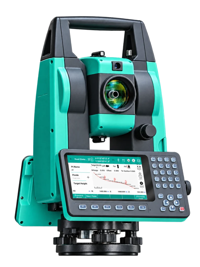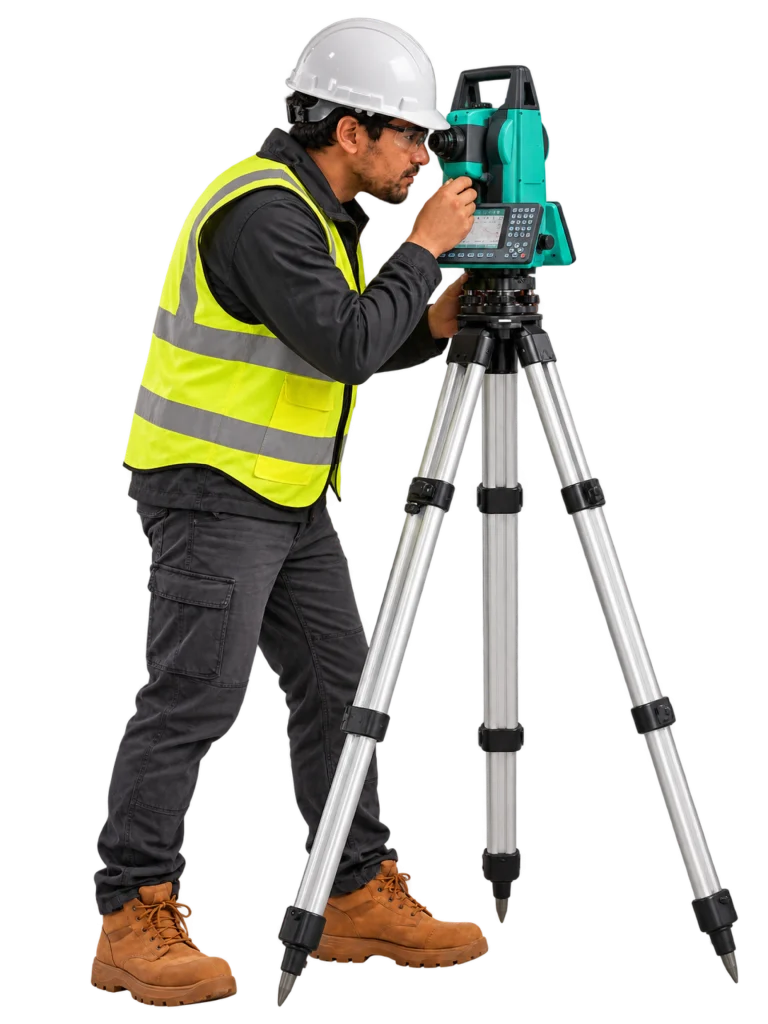


Observaciones angulares y lineales
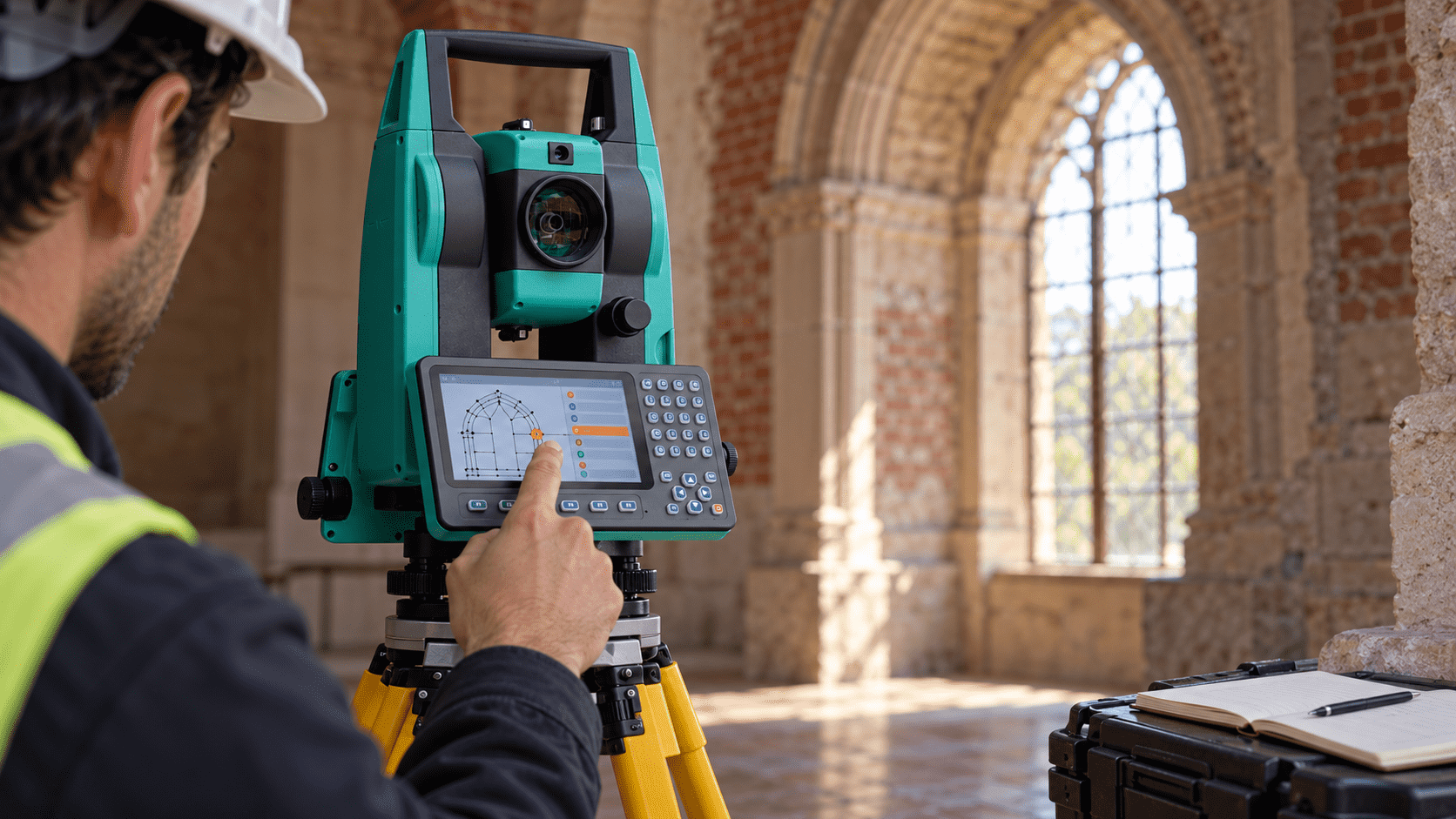
Combines angle and distance measurement to obtain the necessary data in planimetric and altimetric surveys.


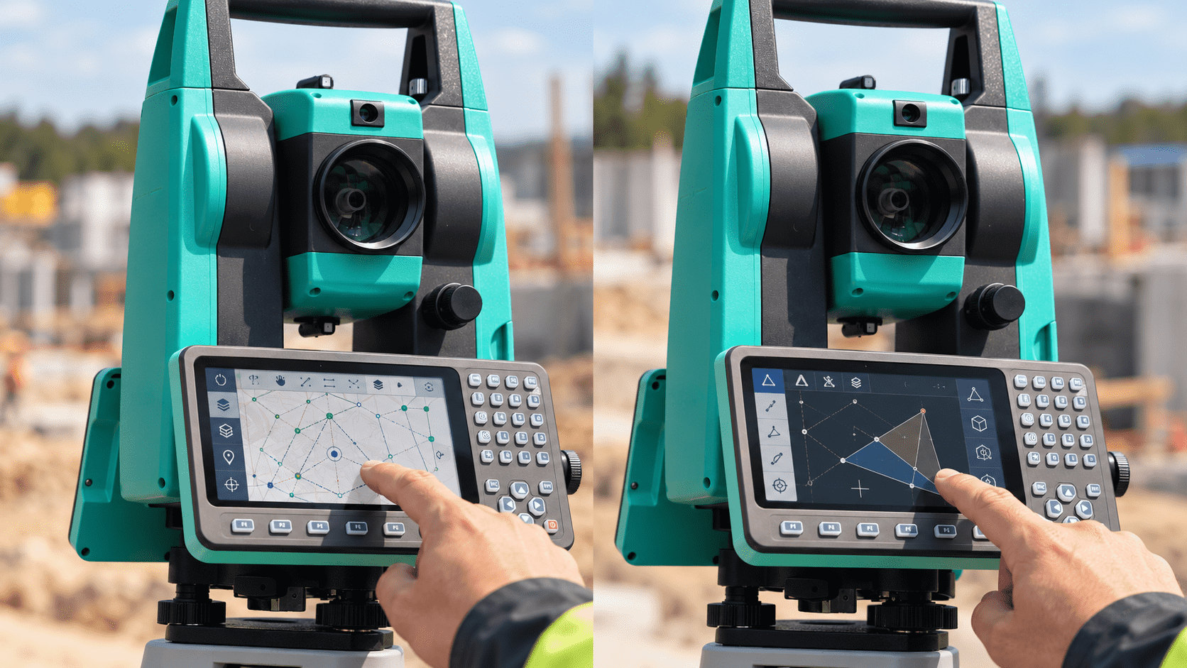
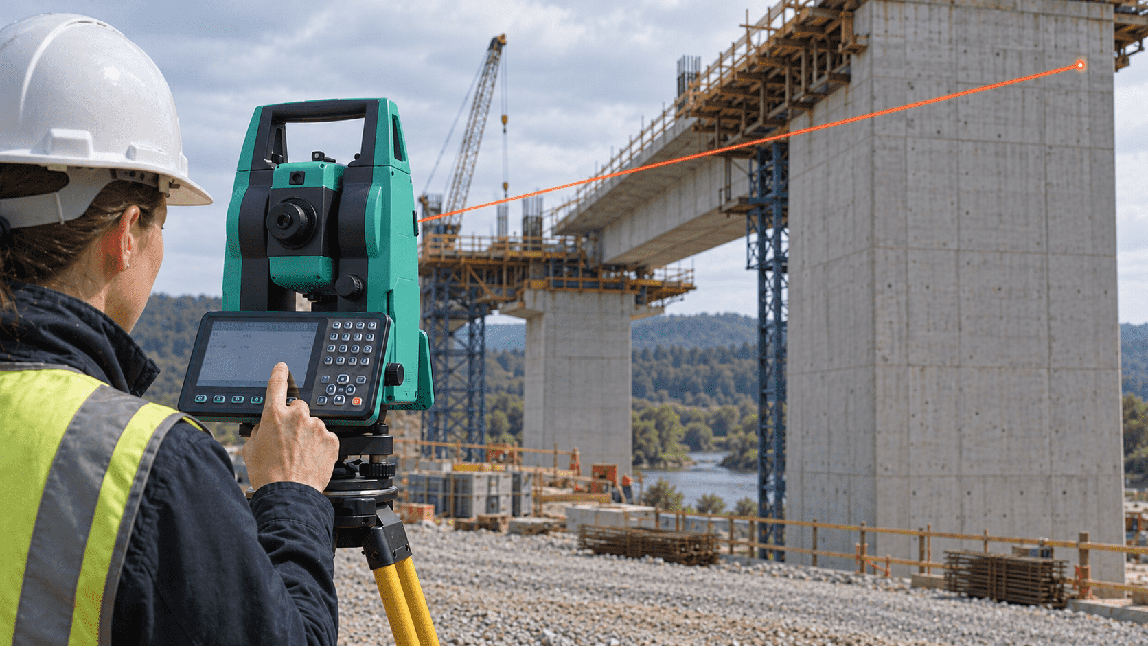
El EDM de láser dual permite observar superficies visibles sin prisma hasta 1.000 m,
con un tiempo de medición fina declarado de 0,3 s.
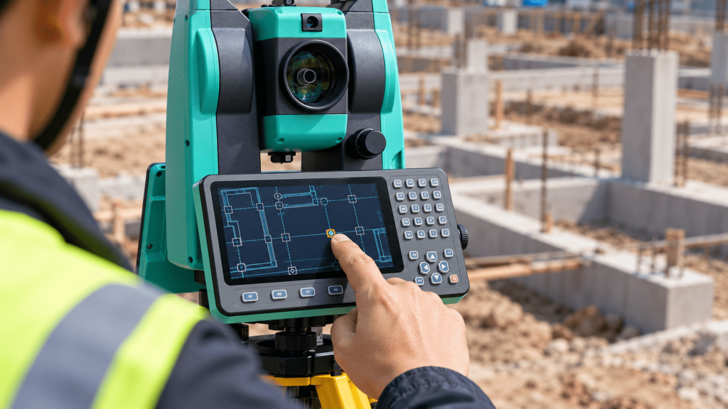
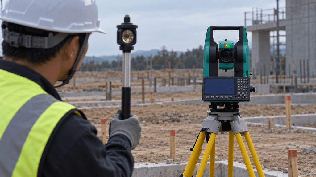
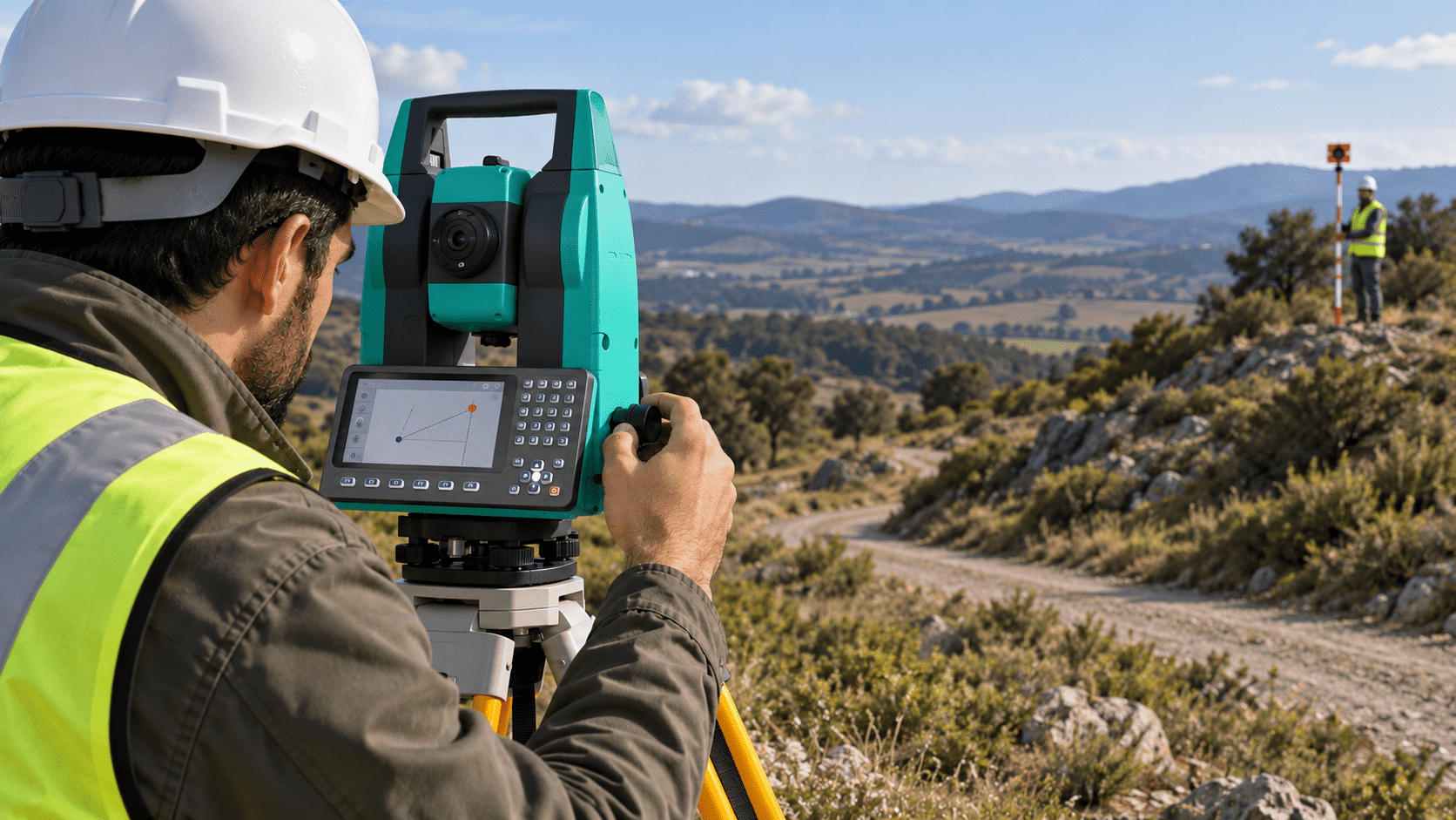
La señal luminosa roja y verde, con alcance declarado de hasta 150 m, orienta al
portaprisma para facilitar su desplazamiento hacia el punto indicado.
Observaciones angulares y lineales
Combines angle and distance measurement to obtain the necessary data in planimetric and altimetric surveys.
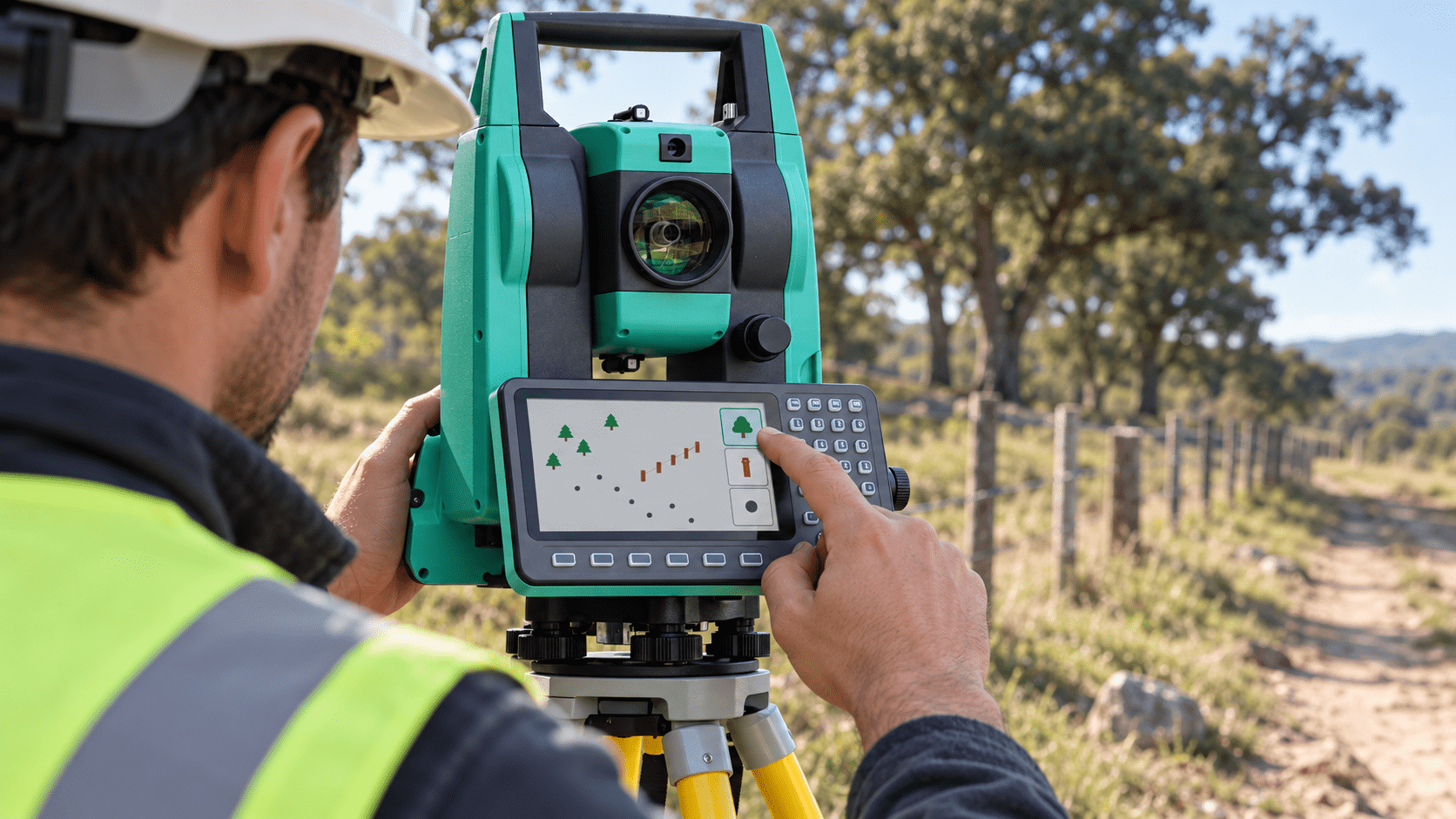
Registro de puntos organizado
Quick codes help classify measured items, while configurable shortcuts allow commands to be adapted to each procedure.
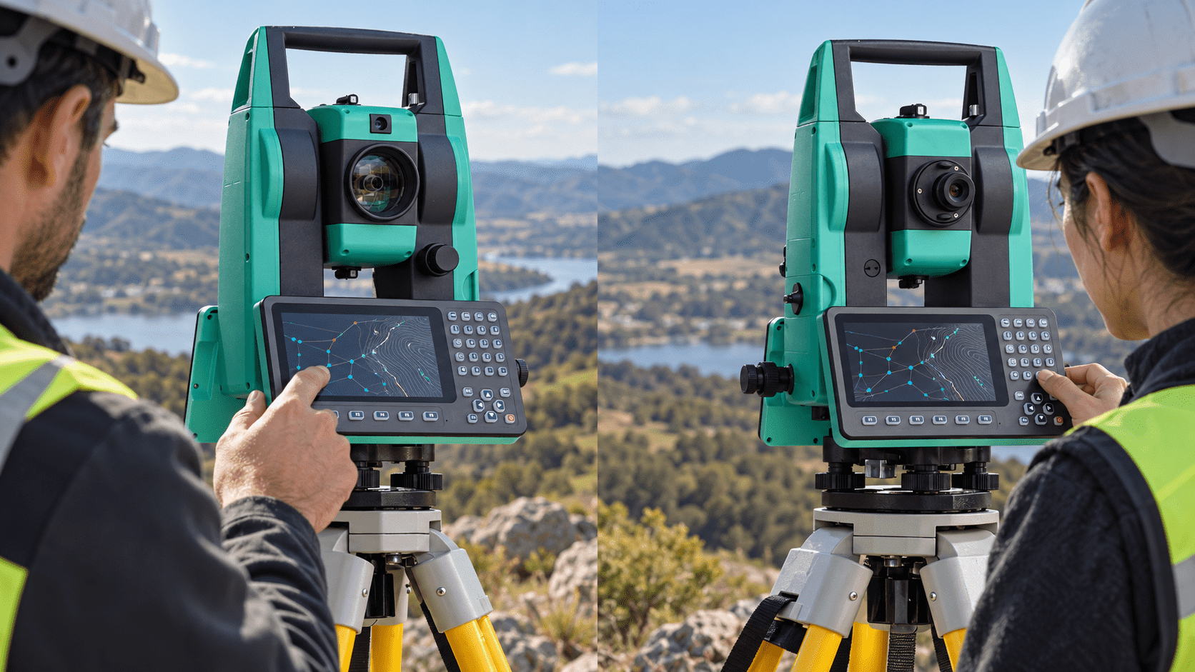
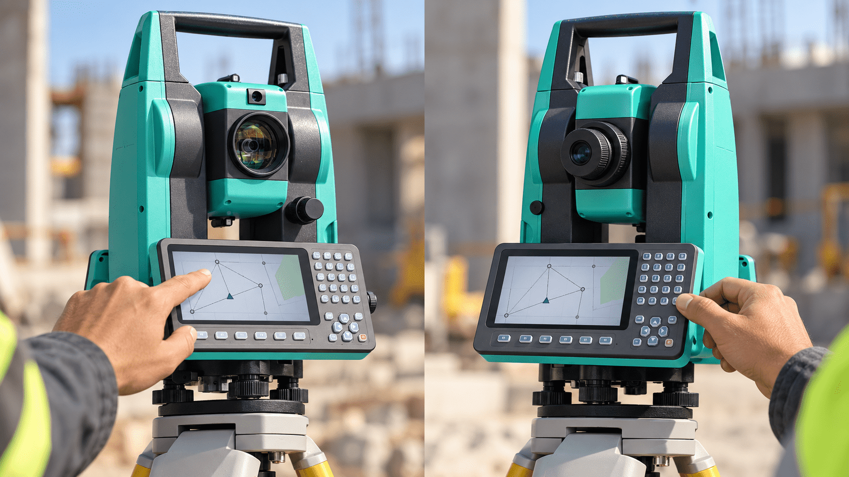
Continuidad entre cara 1 y cara 2
The interfaces located on both sides of the instrument allow data to be consulted during the different observation positions.
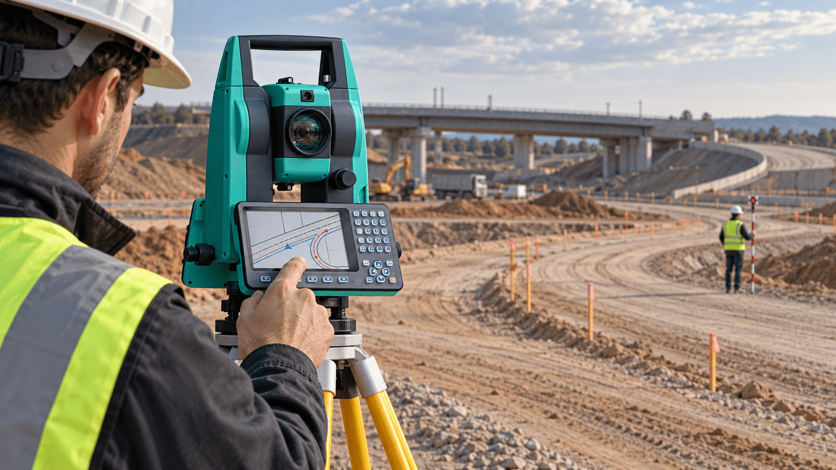
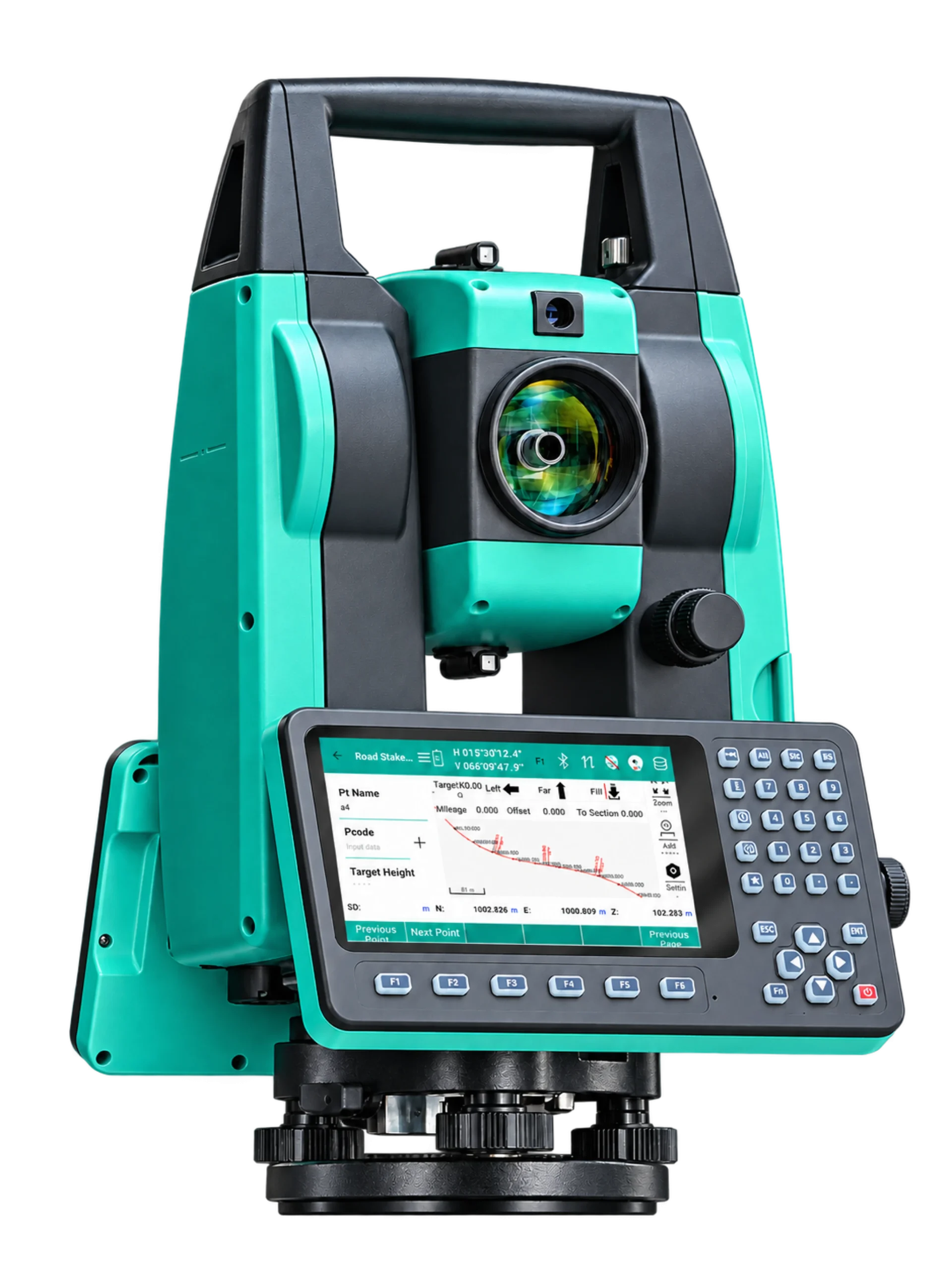
Trazados de infraestructura
Access the road tools to work
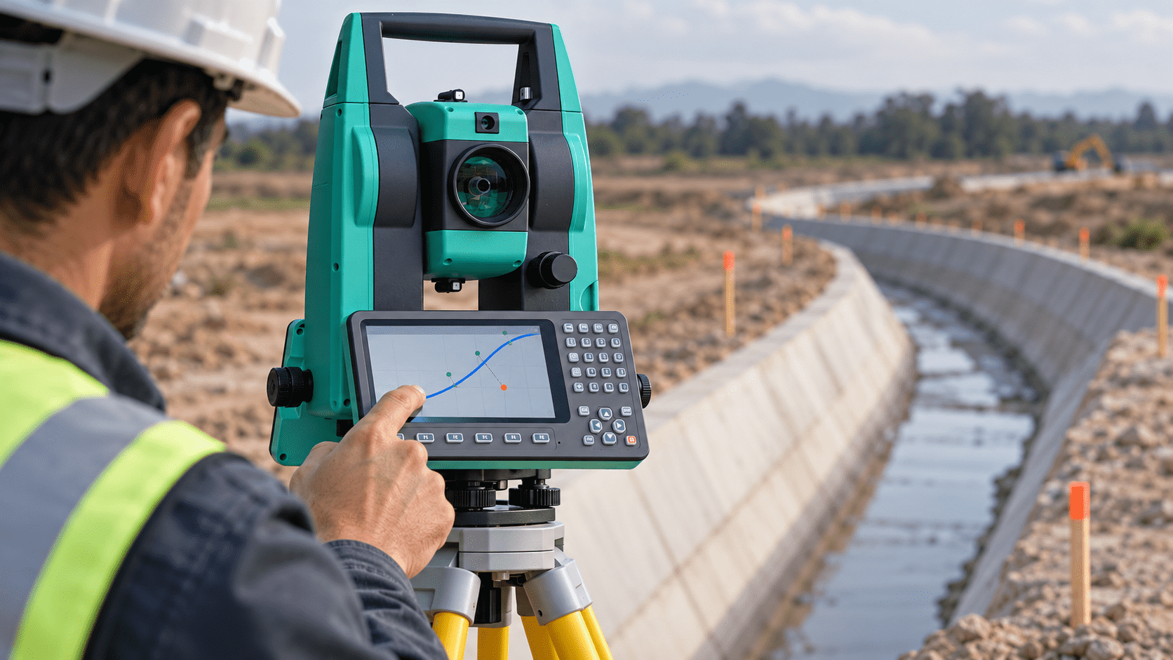
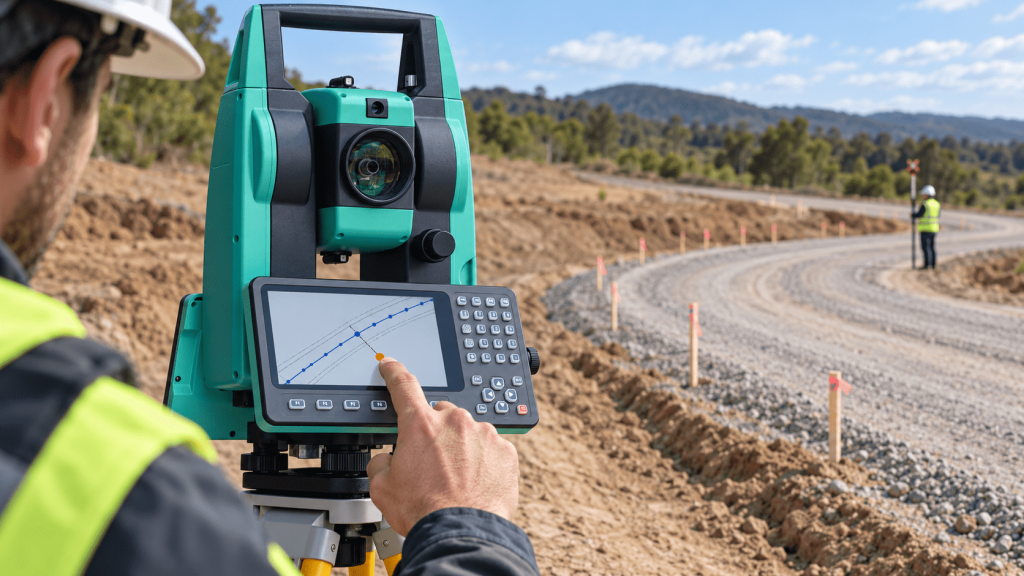
Seguimiento de alineamientos
Visualize deviations from design lines and curves while field observations are being made.
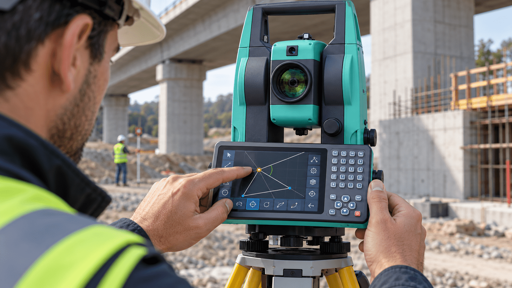
Cálculos geométricos en estación
Solve COGO operations linked to point preparation and verification without switching devices.
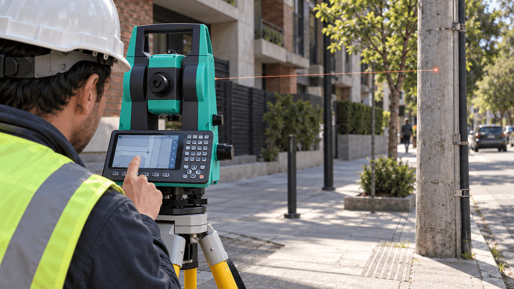
Captura de detalles urbanos visibles
Observe specific points on poles and structures without necessarily placing a prism, provided that measurement conditions allow it.
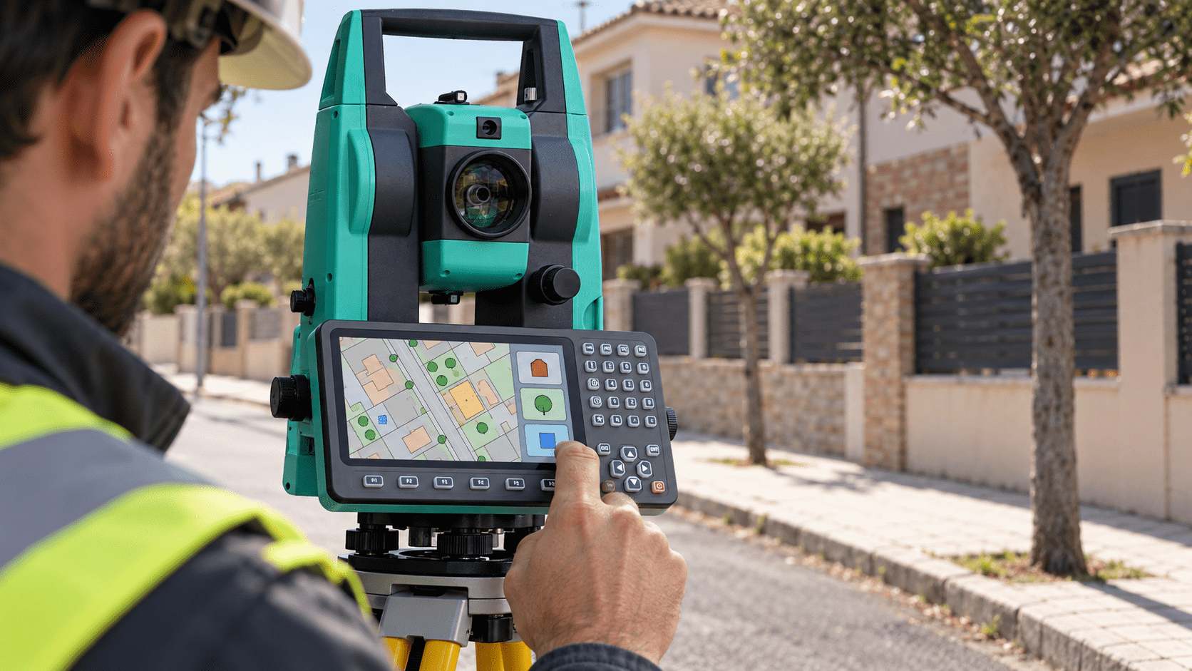
Clasificación del catastro
Assign codes to the observations to distinguish types of elements and maintain an organized point base.
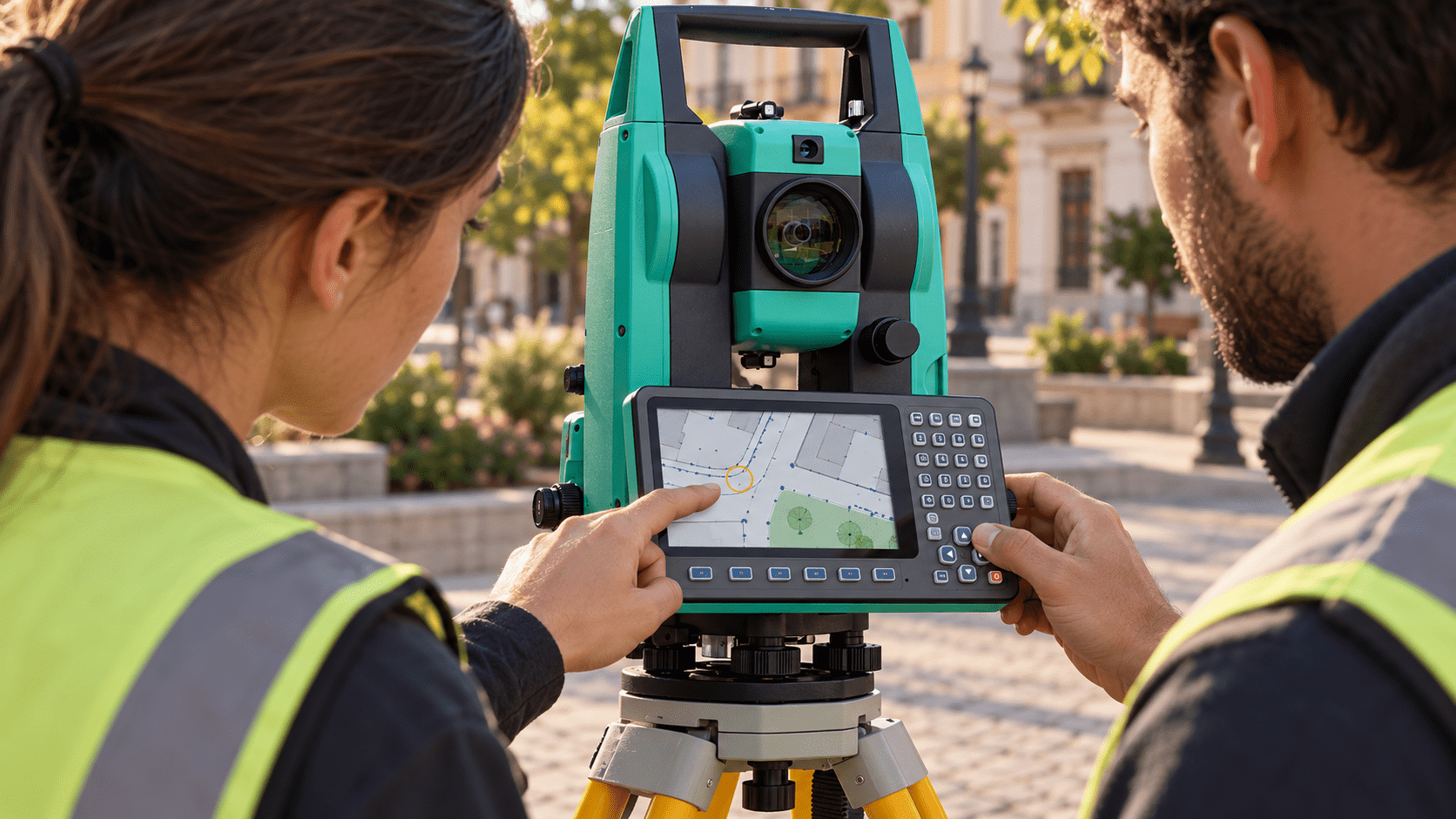
Revisión preliminar en pantalla
Check the drawing formed by points and entities to detect gaps or inconsistencies before ending the workday.
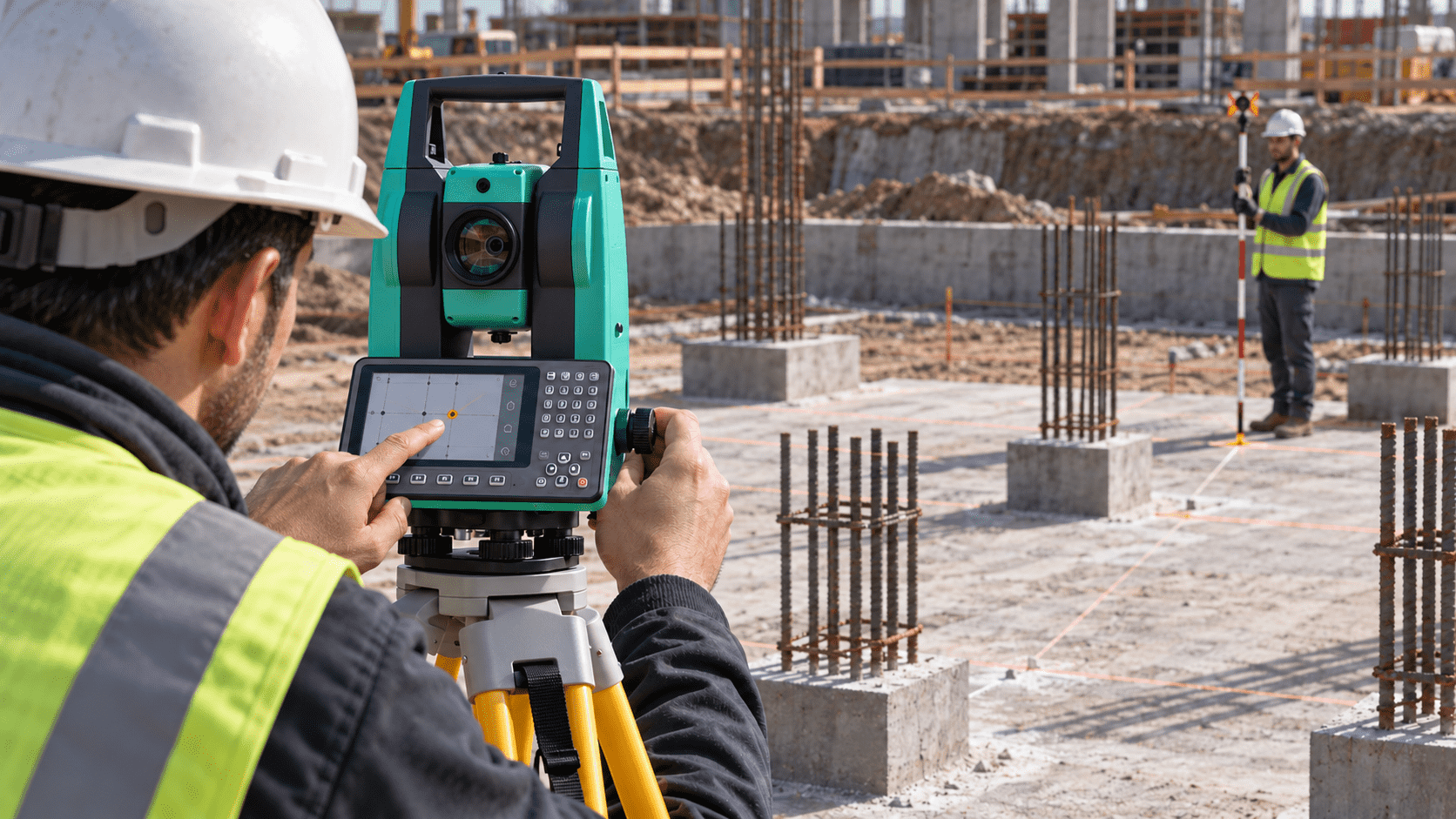
Implantación de elementos estructurales
Work with the drawing references to support the location of axes, columns, and foundations in accordance with the project.
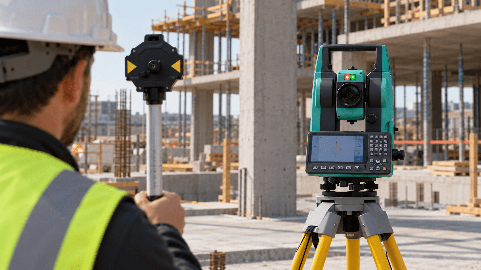
Coordinación visual en obra
The two-color light signal helps the assistant identify which way to move relative to the orientation axis.
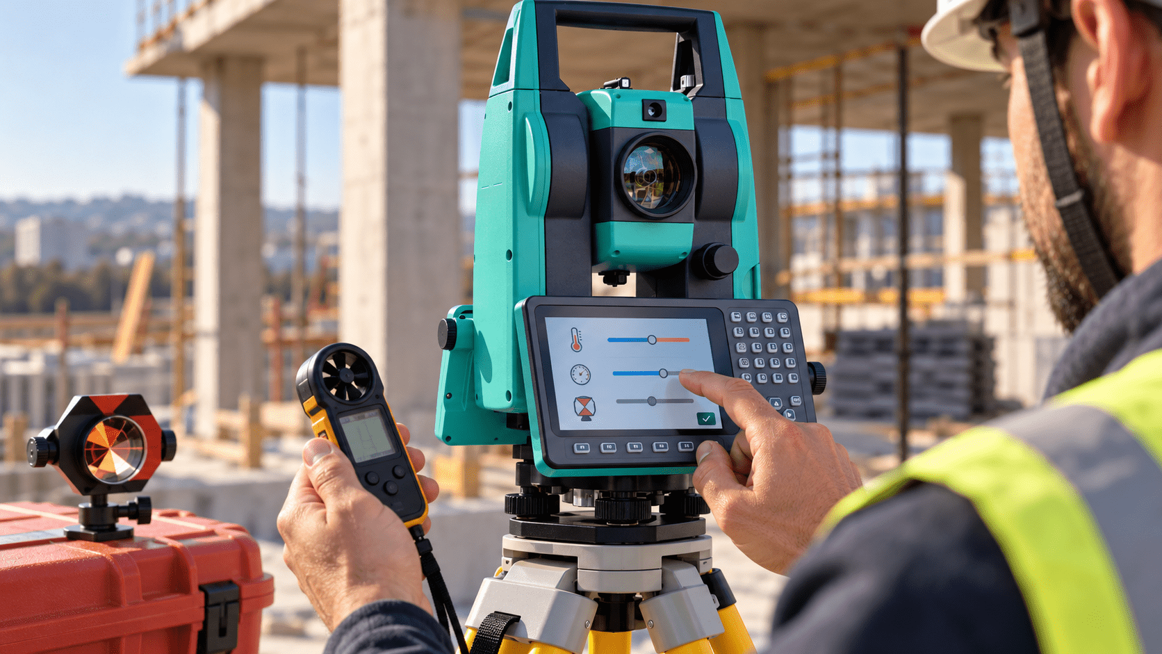
Ajustes según condiciones de medición
Enter the meteorological parameters and the prism constant so that the instrument applies the expected corrections.
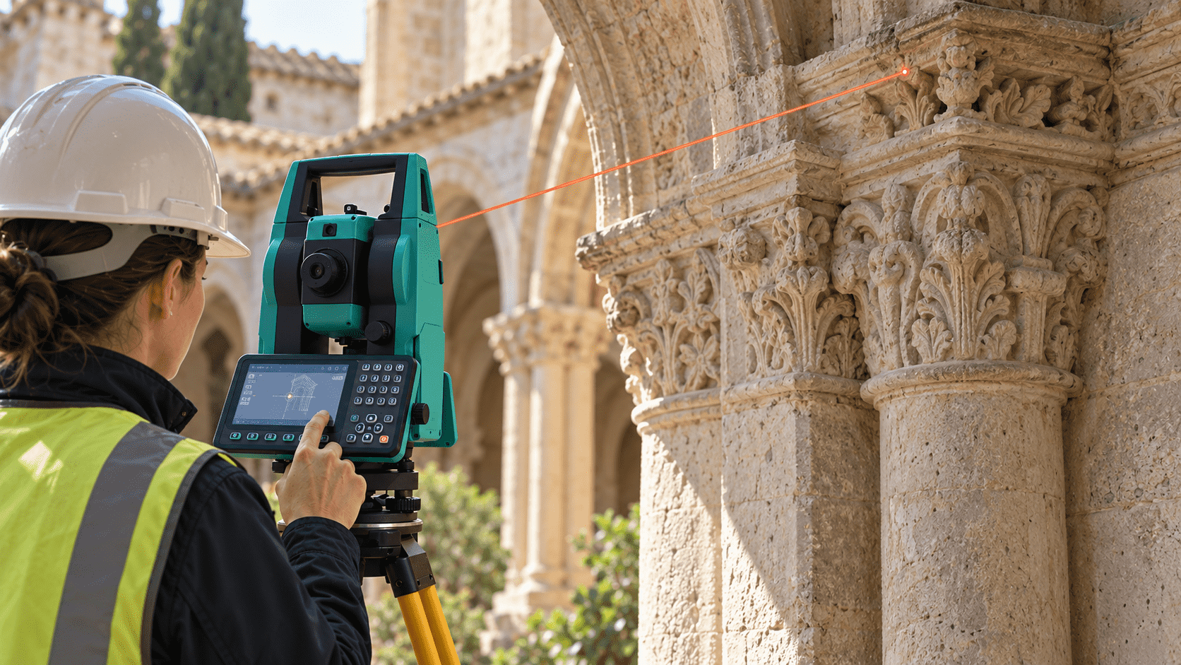
Medición no invasiva de detalles
Record visible points on architectural elements without mounting a spotlight on each surface.
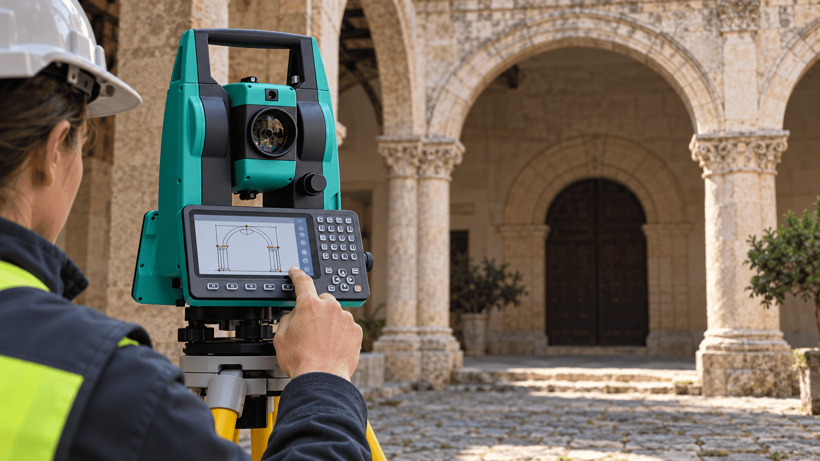
Apoyo al control dimensional
Angle and distance observations allow establishing geometric references for documentation and evaluation work.
Datos trazables para gabinete
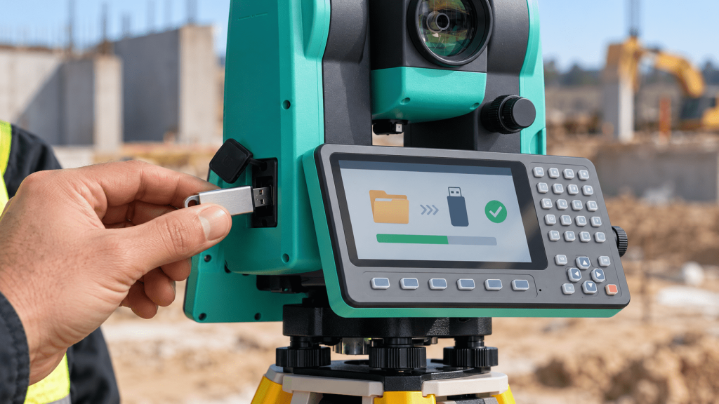
Organize the observations using bullet points and graphically represented entities to facilitate later review.


Our GNSS devices that use a SIM chip and have an IMEI must be registered to operate on Chile's mobile networks, in accordance with article 7 of the Exempt Resolution No. 1,463 of 2016 from SUBTEL. Registration is done through a certification company authorized by SUBTEL.
To register them:
If the equipment is sold in Chile, the registration corresponds to the marketer. More information at SUBTEL.

Predefined codes
Survey and calculation
CAD as background
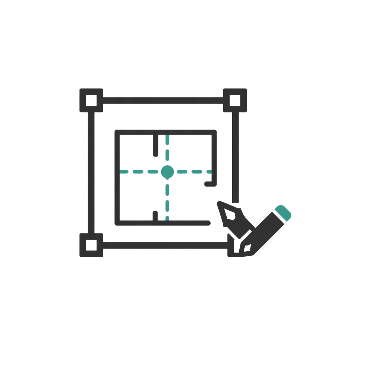
CAD visible and editable
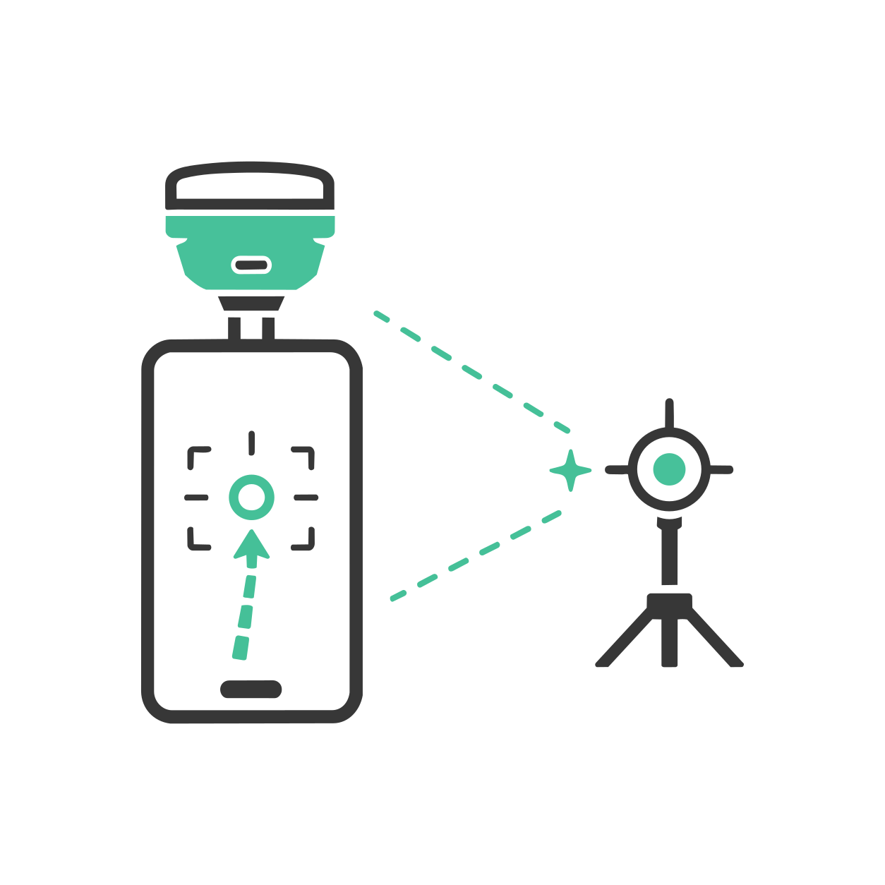
AR stakeout with SV1
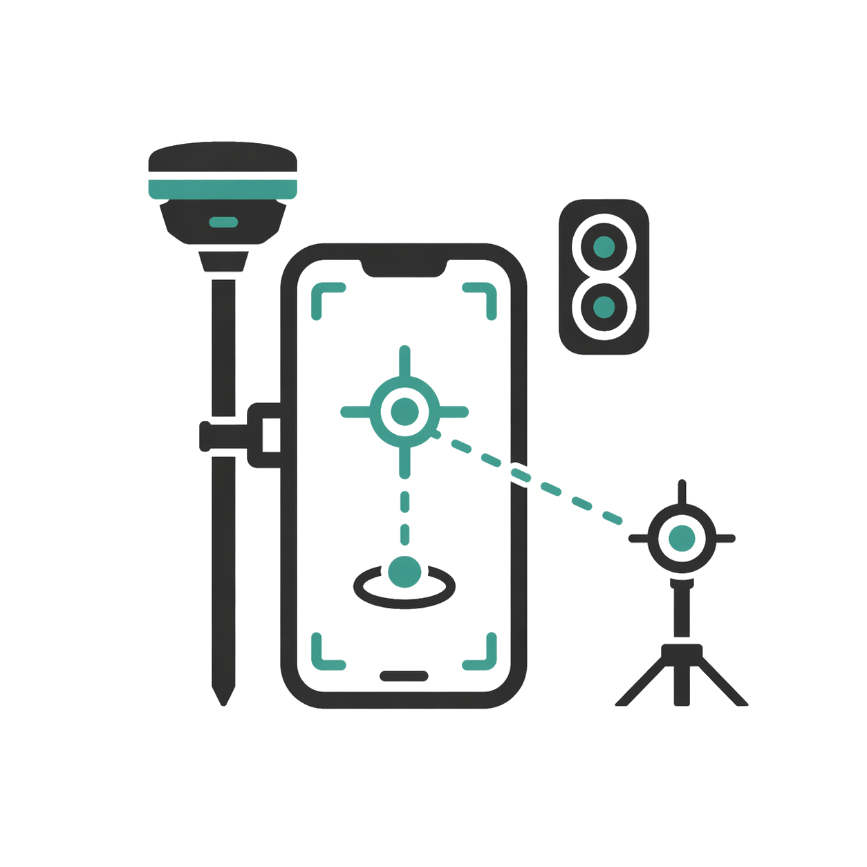
AR stakeout with SDi
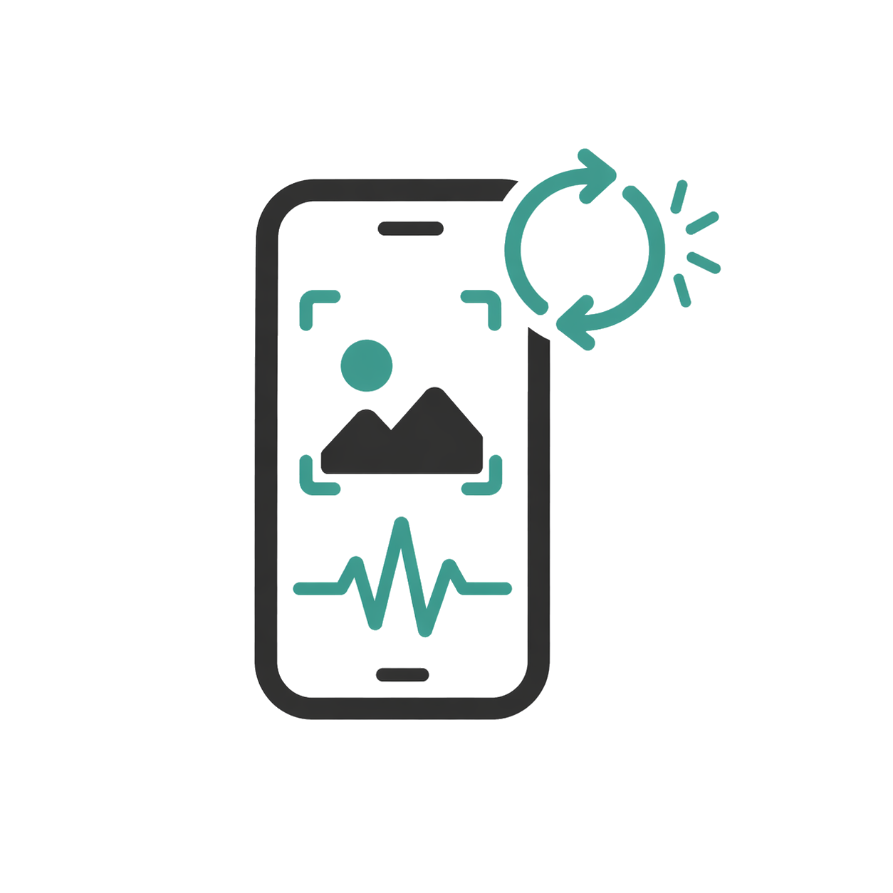
Real-time results
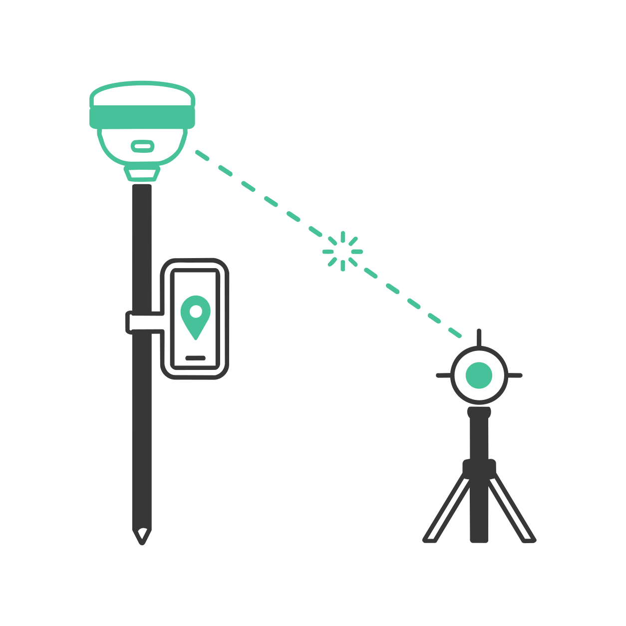
Laser measurement with SDi
Read contents list
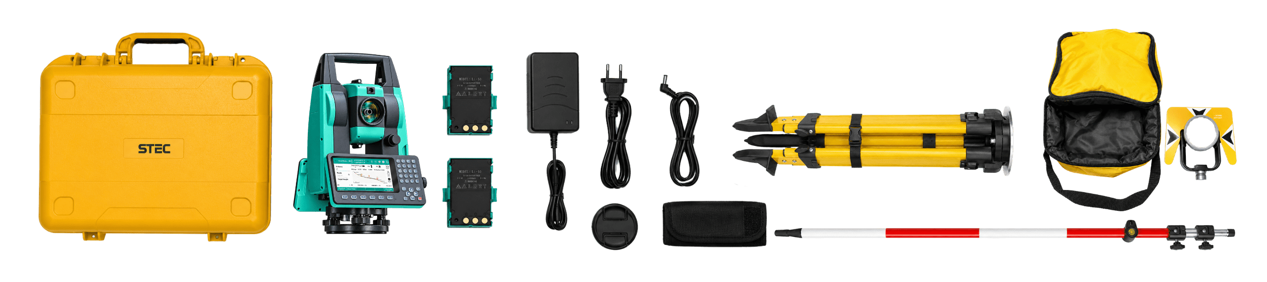

Product warranty
Access to product training course
Exclusive Level 1 discounts
Direct training with our support team
Included in your purchase 12 months

In-person and online training
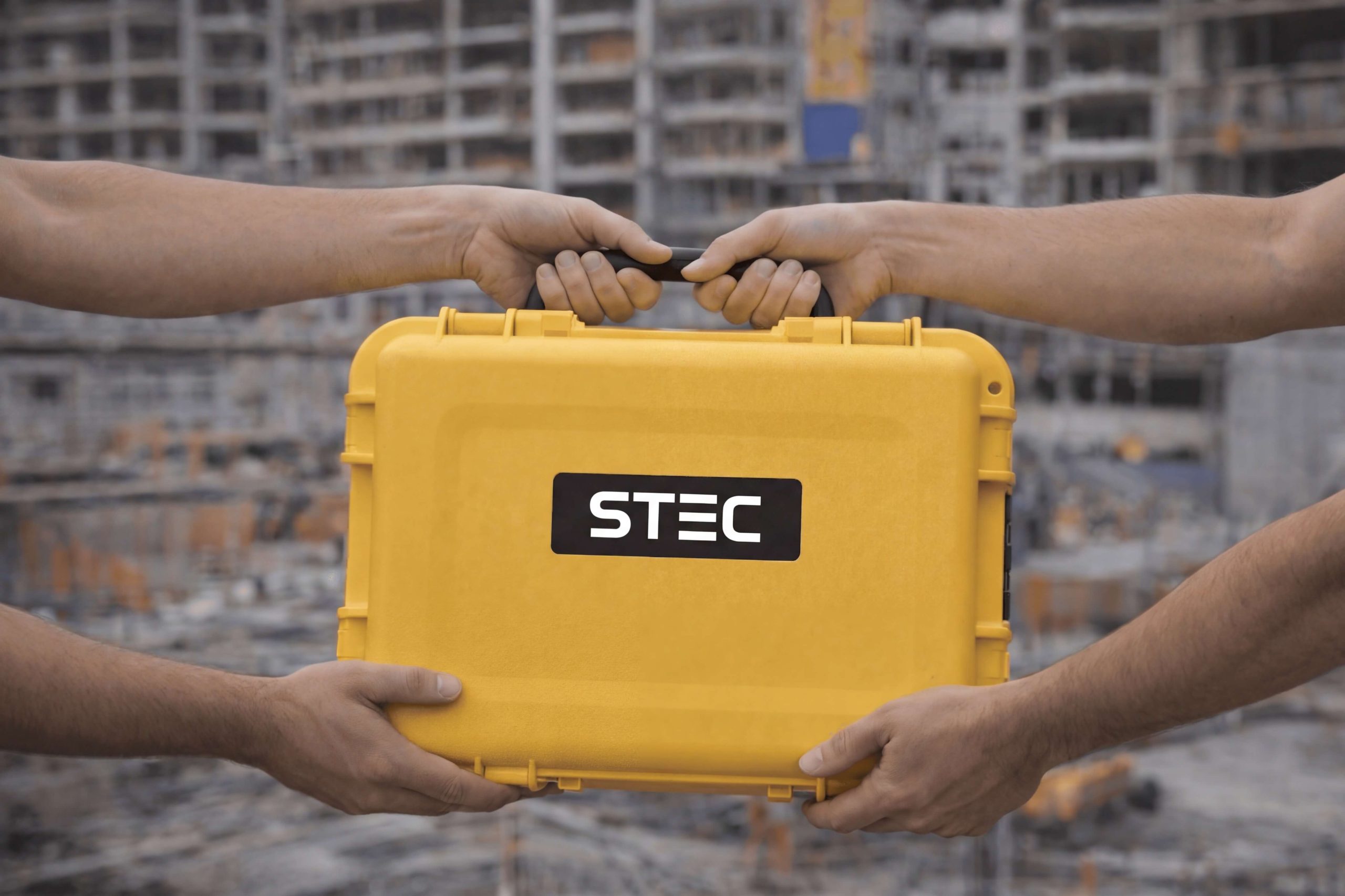
Factory and Realtek warranty
Official warranty and local Realtek support: diagnosis, coordination, and follow-up to get you back up and running quickly.
Yes. All our products include training through the free GoKeep program. Additionally, our support channel is always available to provide you with a quick response to any technical or commercial questions. You can find our WhatsApp contact directly in the footer of our website.
Yes, we ship to different regions of the country. The cost and delivery time may vary depending on the municipality or region of destination.
No, the published prices are net and VAT is added at checkout.