A CAD solution
powerful made for you

Precision, confidence and speed for staking out and surveying in challenging conditions: remote points, risk areas, low light and complex surfaces.

From $ 364,500 + VAT

ZWCAD

Boost your CAD projects

Continuous workflow
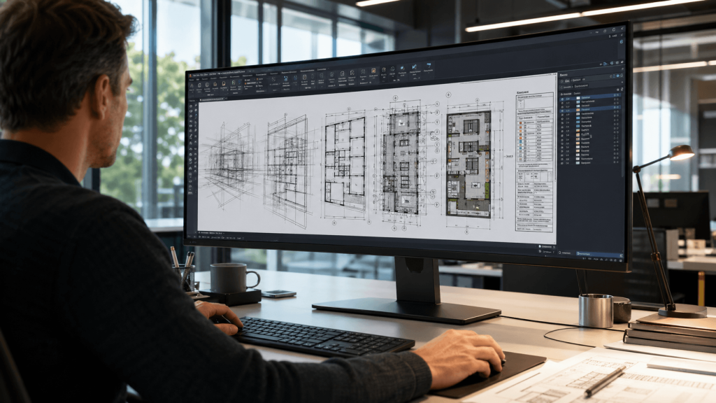
Allows you to design, review and modify plans fluidly, maintaining a stable process from start to delivery, without technical friction that slows down project progress.
Precision that avoids rework
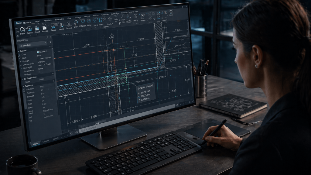
Each modification is performed accurately, helping to reduce drawing errors, inconsistencies and subsequent corrections that can affect time, costs and final quality.
Collaboration without barriers
Facilitates file exchange between teams and disciplines, ensuring clearer communication, better coordination, and more efficient project development.
Efficiency in demanding projects
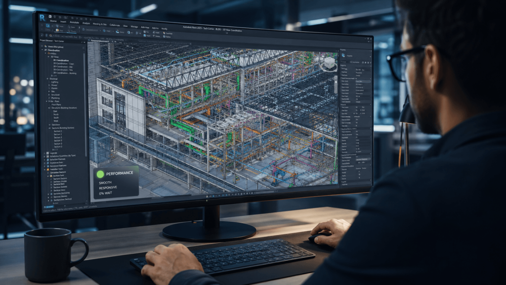
Maintains stable performance even when working with complex plans or large files, allowing sustained productivity in high-demand projects.

Powerful and fast CAD: Do
more in less time

Unlimited features

Native DWG Compatibility

Work with DWG, DXF and DWT with high compatibility, facilitating exchange with offices, consultants and clients who use mixed CAD workflows.

IFC Import and Editing

Allows importing, editing, and exporting IFC files, useful for reviewing BIM models without leaving the CAD environment.

GIS Functions and GeoTIFF Usage

Includes GIS functions and GeoTIFF insertion, useful for plans with geospatial context, easements, or land surveys.

Point Cloud Management

Open, attach, edit, and manage complex point clouds, supporting drawing on scans or as-built.

Parametric Design

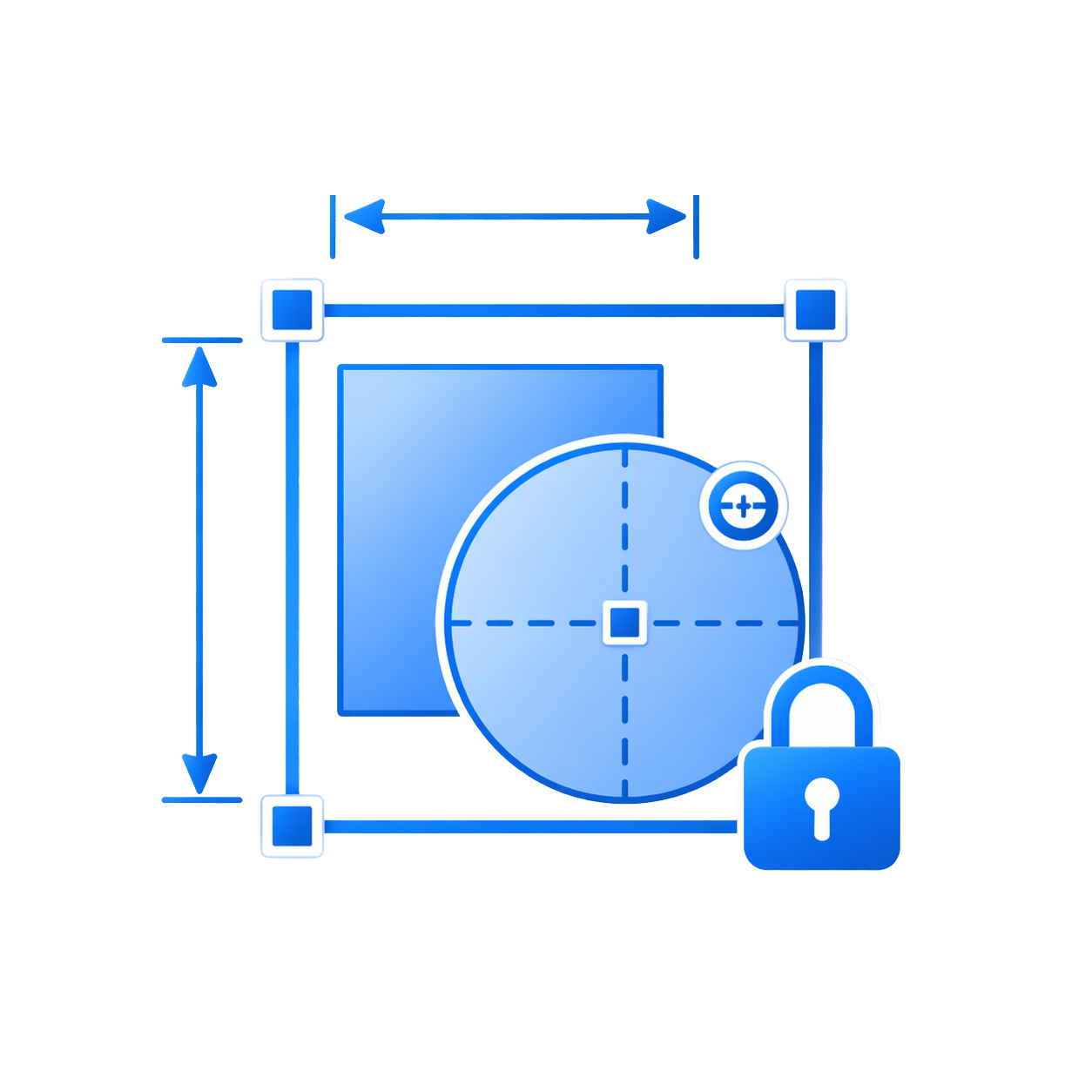
Apply geometric and dimensional constraints to adjust size and shape without redrawing, ideal when the project changes.

Sheet Set Manager

Allows viewing, organizing, and plotting multiple plans from a single panel, useful in deliverables with many sheets.

Multiple PDF Import

Converts multiple PDF pages into CAD objects in one step, speeding up redrawing, recovery, and reuse of plans.

Smart Plot

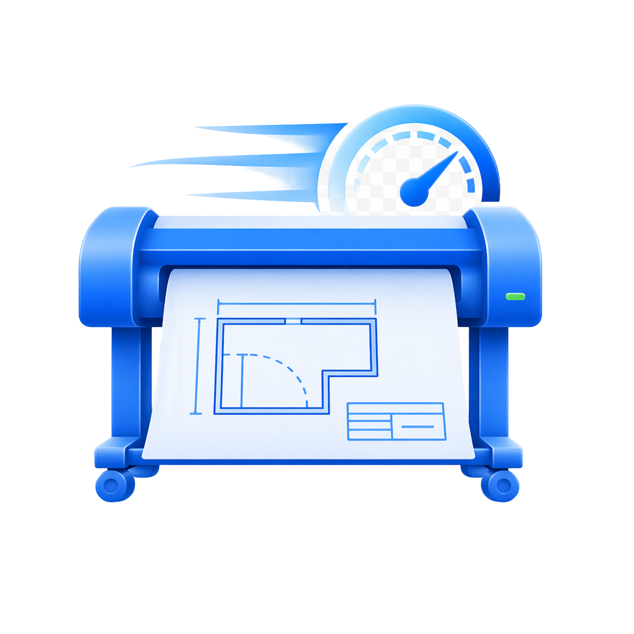
Automates batch plotting, recognizes paper size, and speeds up plan output for review, permits, or final delivery.

Minimum requirements

Operating system

Win 7 SP1+ / 8.1 / 10 / 11

CPU

Pentium 4 1.5 GHz or AMD eq.

RAM

2 GB

GPU

1 GB, OpenGL 4.2

+200 functions that will make your work much easier.

Leader and recognized
worldwide

Included in the G2 Best Software Awards 2025 and ranked #1 on G2 as the easiest-to-use general-purpose CAD.
Over 200 satisfied customers.

It is not a coincidence.

Do you have questions?

Do you have questions?

ZWCAD is a professional CAD software for creating, editing, and documenting 2D technical drawings and working with 3D designs. It is a solution designed for architecture, engineering, construction, surveying, manufacturing, and technical design. It allows working with DWG files, organizing drawings by layers, creating dimensions, using blocks, preparing print layouts, and maintaining a workflow compatible with the most widely used industry standards.
Yes. ZWCAD is designed to work with DWG files, one of the most widely used formats in technical drawing and CAD documentation. This allows you to open, edit, and share plans with clients, designers, or technical teams already working in CAD environments, without having to redo the documentation from scratch.
Yes. ZWCAD allows importing point clouds and using them as a reference within the CAD environment, facilitating work with information captured on-site using laser scanners or other surveying technologies. Additionally, it supports point cloud formats such as RCP, RCS, E57, LAS, LAZ, and PTS, making it easy to integrate data from different equipment and capture workflows. This enables drawing, reviewing, measuring, and documenting projects on a real basis of the captured space, ideal for as-built surveys, architecture, engineering, topography, renovations, and infrastructure.
Yes. ZWCAD can be an excellent alternative for companies that need a professional, compatible, and efficient CAD tool for technical drawing. It is especially useful for teams that constantly work with plans, construction details, technical documentation, layouts, engineering, or surveys, and seek to maintain productivity without completely changing their way of working.
ZWCAD can be used by architects, engineers, technical drafters, surveyors, designers, industrial designers, construction companies, technical offices, and companies that need to create or review plans professionally.
No. For users who have already worked with other CAD software, the learning curve is practically minimal, since ZWCAD maintains a very familiar work logic: plans, layers, blocks, dimensions, commands, layouts, and DWG file compatibility. This allows technical teams, drafters, designers, architects, engineers, and surveyors to adapt quickly without having to completely change their way of working. For new CAD users, initial training is recommended, but for professionals with previous experience on CAD platforms, the transition is usually direct, natural, and very fast.

Yes. All our products include training through the free GoKeep program. Additionally, our support channel is always available to provide you with a quick response to any technical or commercial questions. You can find our WhatsApp contact directly in the footer of our website.

Yes, we sell to customers throughout Chile. Since it is software, the activation code is sent by email along with the certificate, installers, and access to courses.

No, the published prices are net and VAT is added at checkout.

Talk to an advisor

Response in less than 5 minutes.

Technology that drives

Experts in precision

Discover more solutions by category.

GNSS Systems

Laser Scanner

Cameras

Total Stations

Detection Systems

Levels

Software