
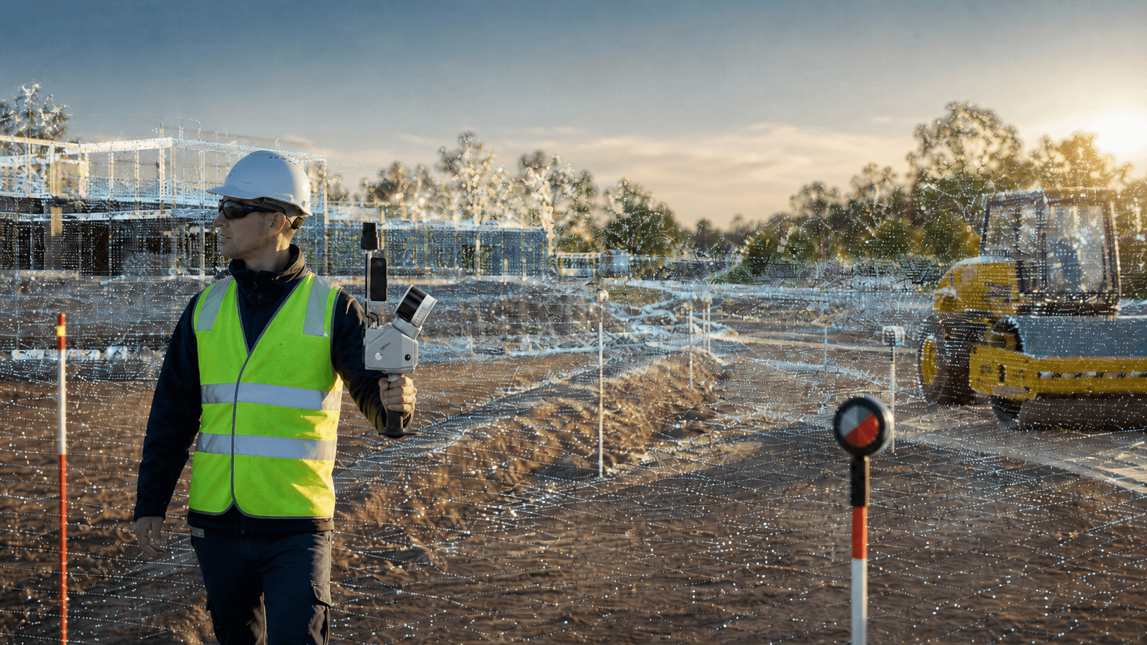
High Point Capture
Records up to hundreds of thousands of points per second for high-density surveys.




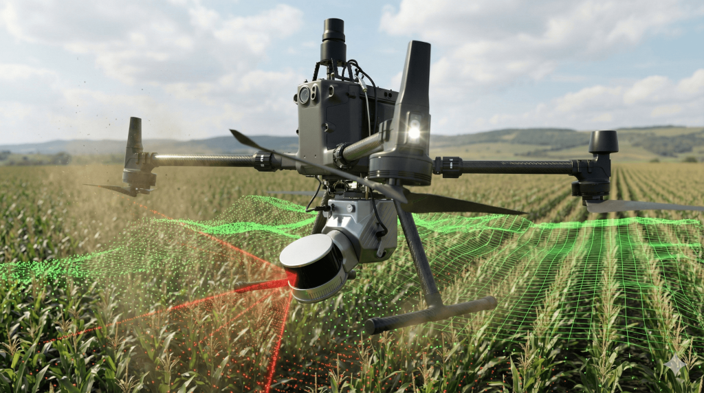
High Point Capture
Records up to hundreds of thousands of points per second for high-density surveys.
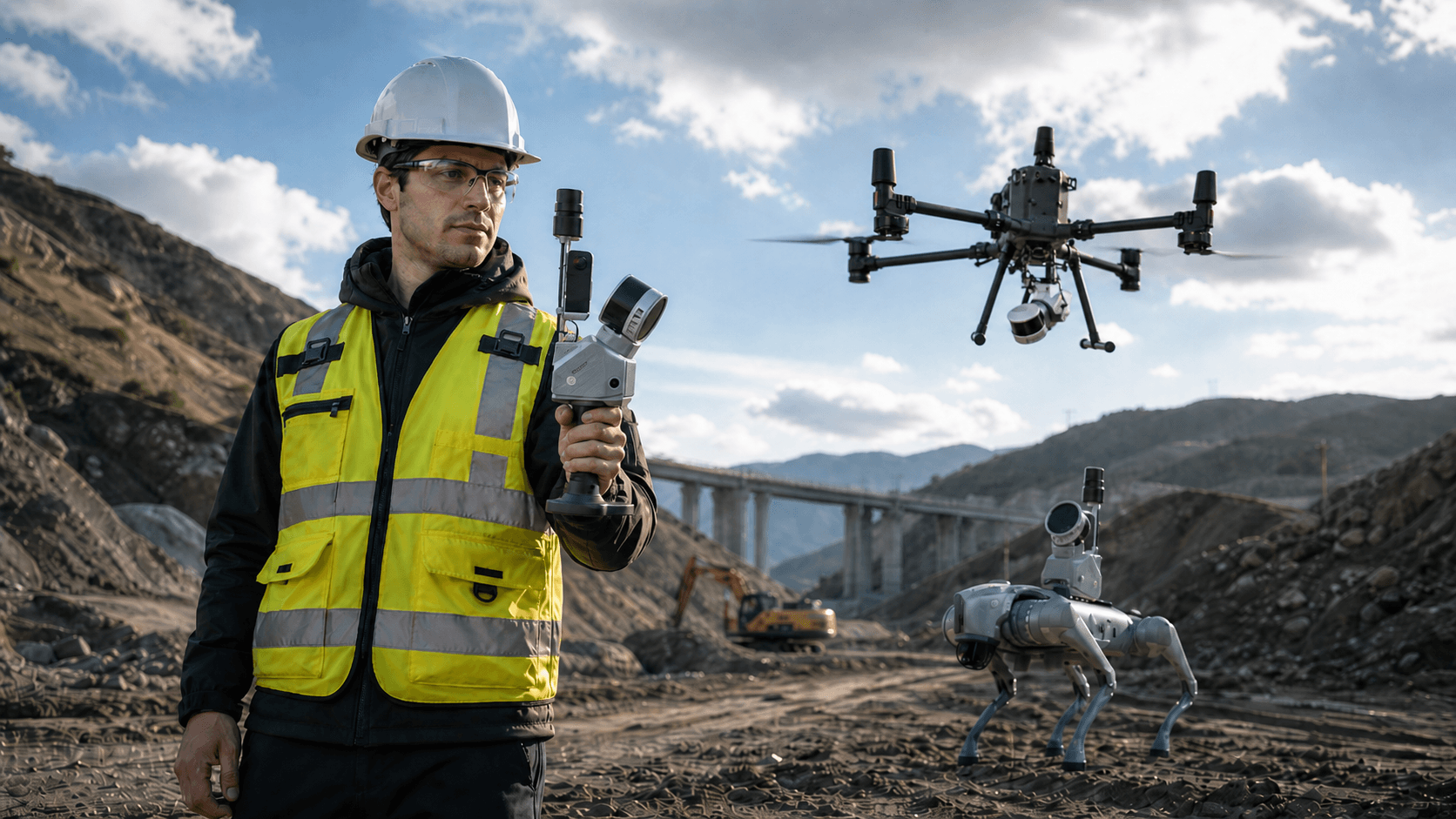
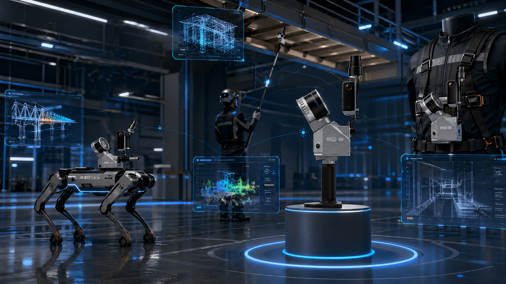
Versatility of Use
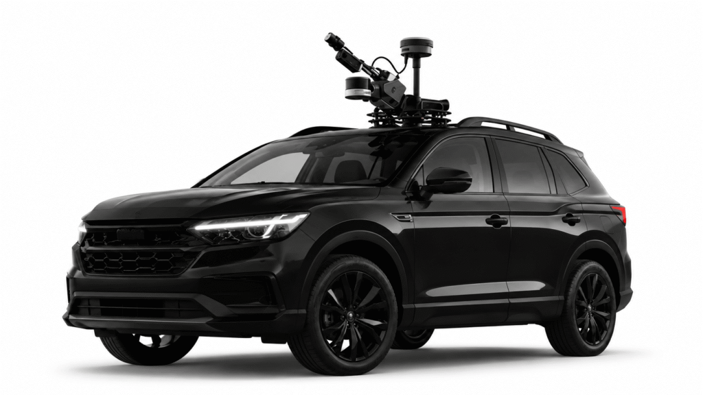
Can be configured in hand, backpack, or vehicle depending on the terrain and route.
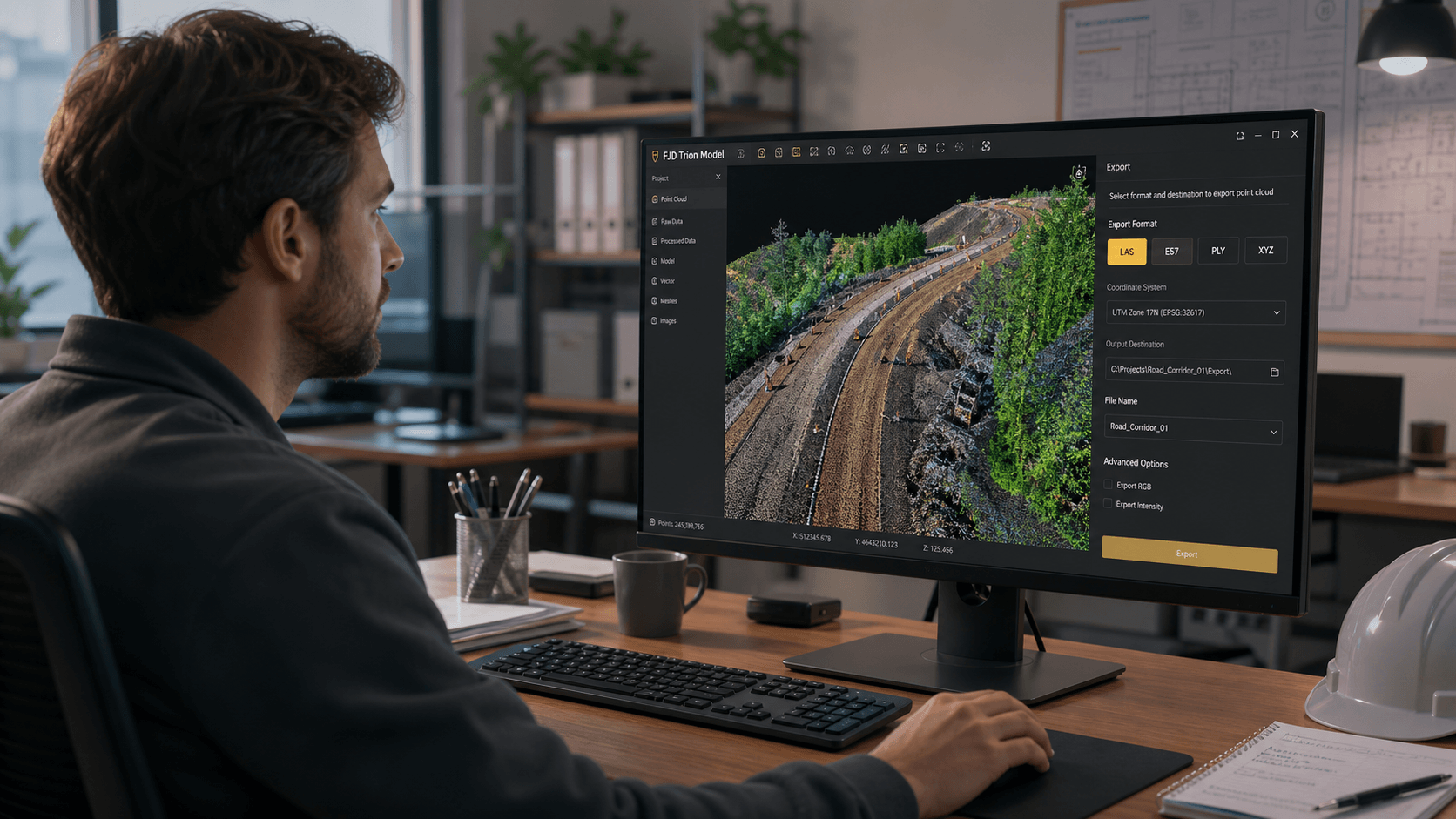
Agile Post-Processing
Export standard point cloud formats to work in processing, CAD, and modeling software.
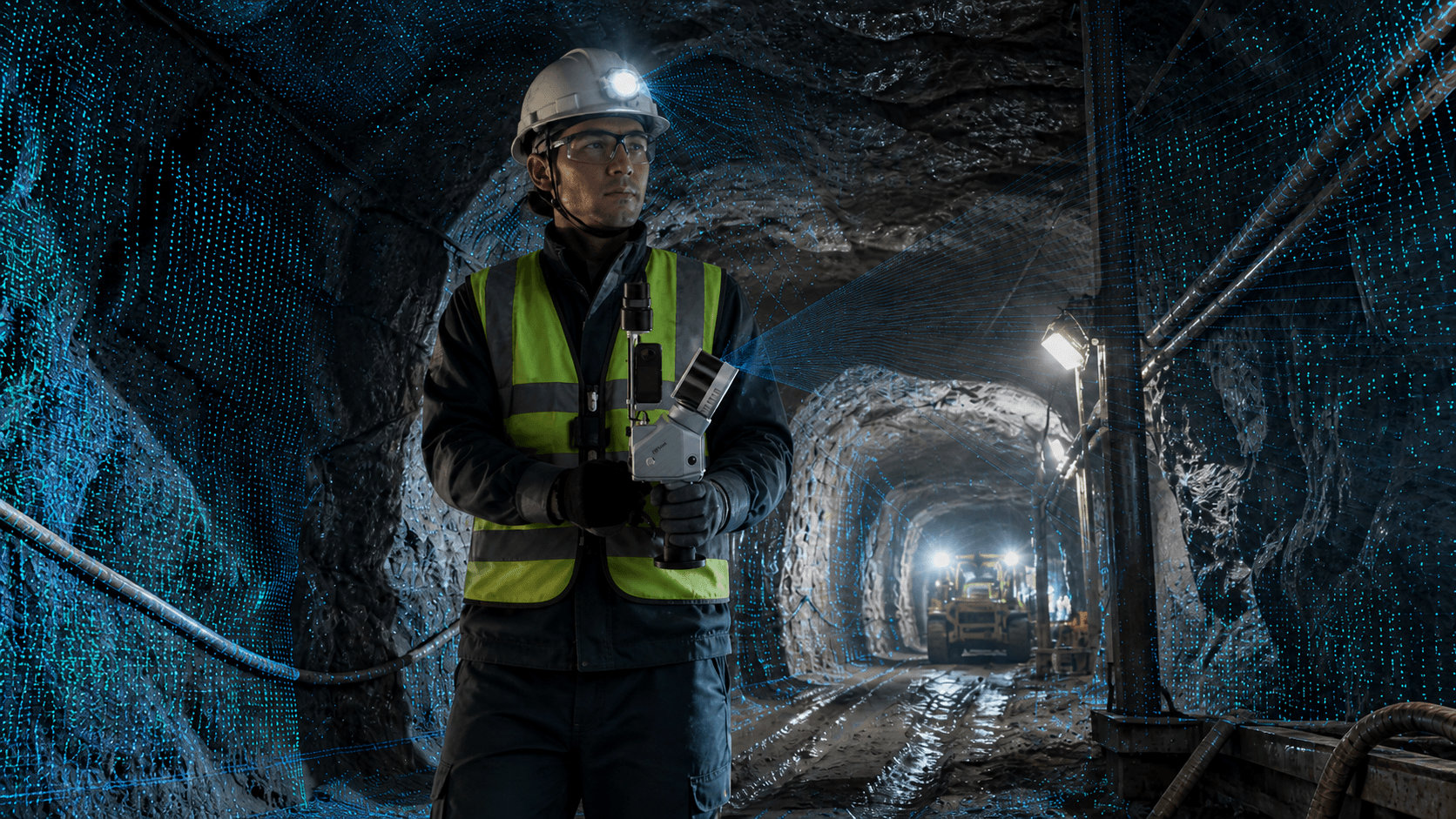
Advanced SLAM
Its SLAM + its cameras allow working indoors or in areas where GNSS signal is limited.
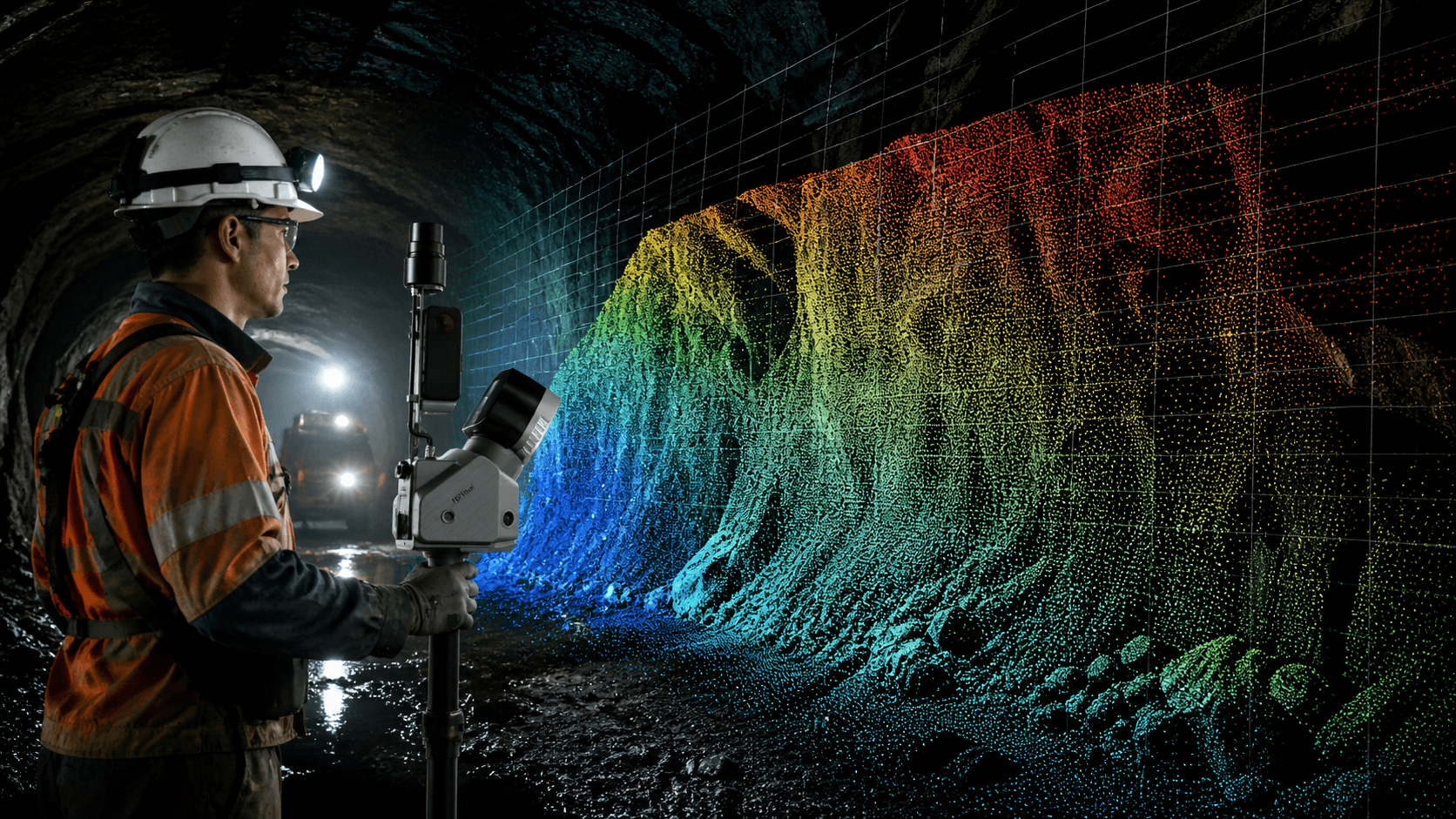
Point Cloud Analysis
Clouds can be used for volume calculation, profile generation, verticality analysis, terrain changes, etc.

3D Recording of Mining Plants
Provides detailed 3D recording for inspection, planning and comparison of industrial plants.
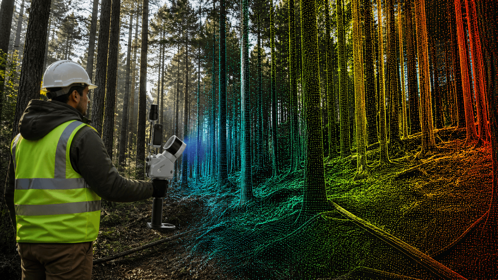
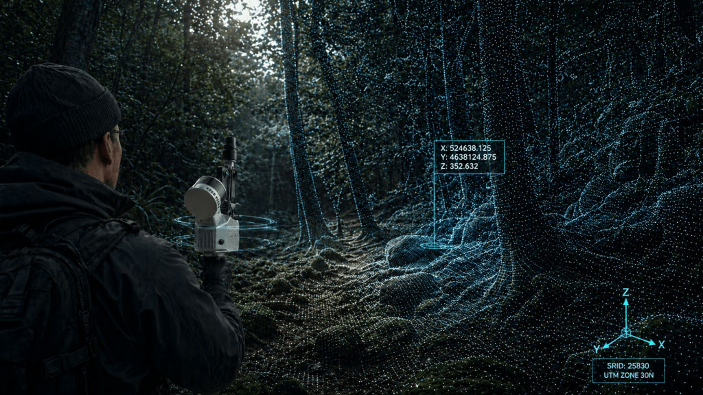
Forest Structure Capture
Can capture trunks, terrain and forest structure, useful for inventory.
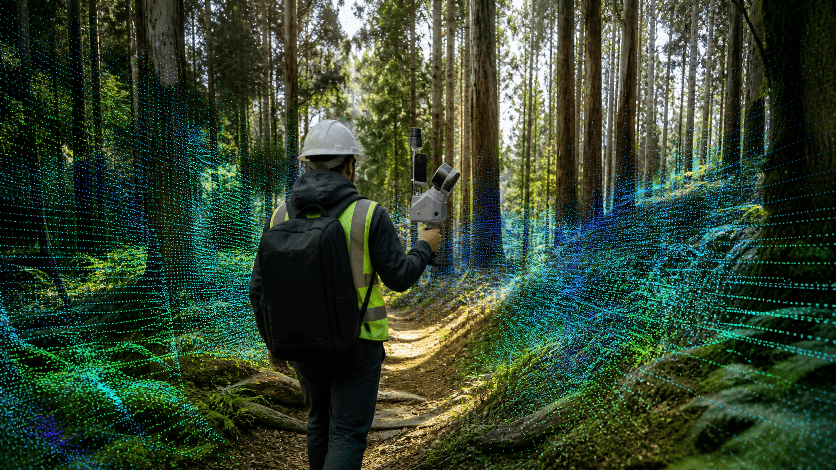
Broad Forest Coverage
Its mobile operation allows traversing forest interiors, trails, and other difficult terrain.
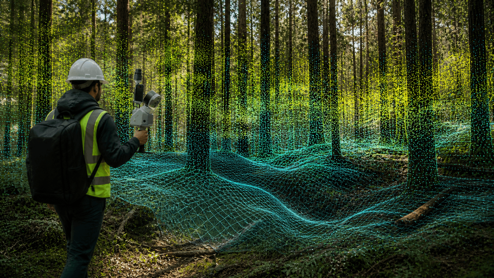
DTM Under Vegetation
Clouds can be processed to obtain terrain and digital models in areas with vegetation.
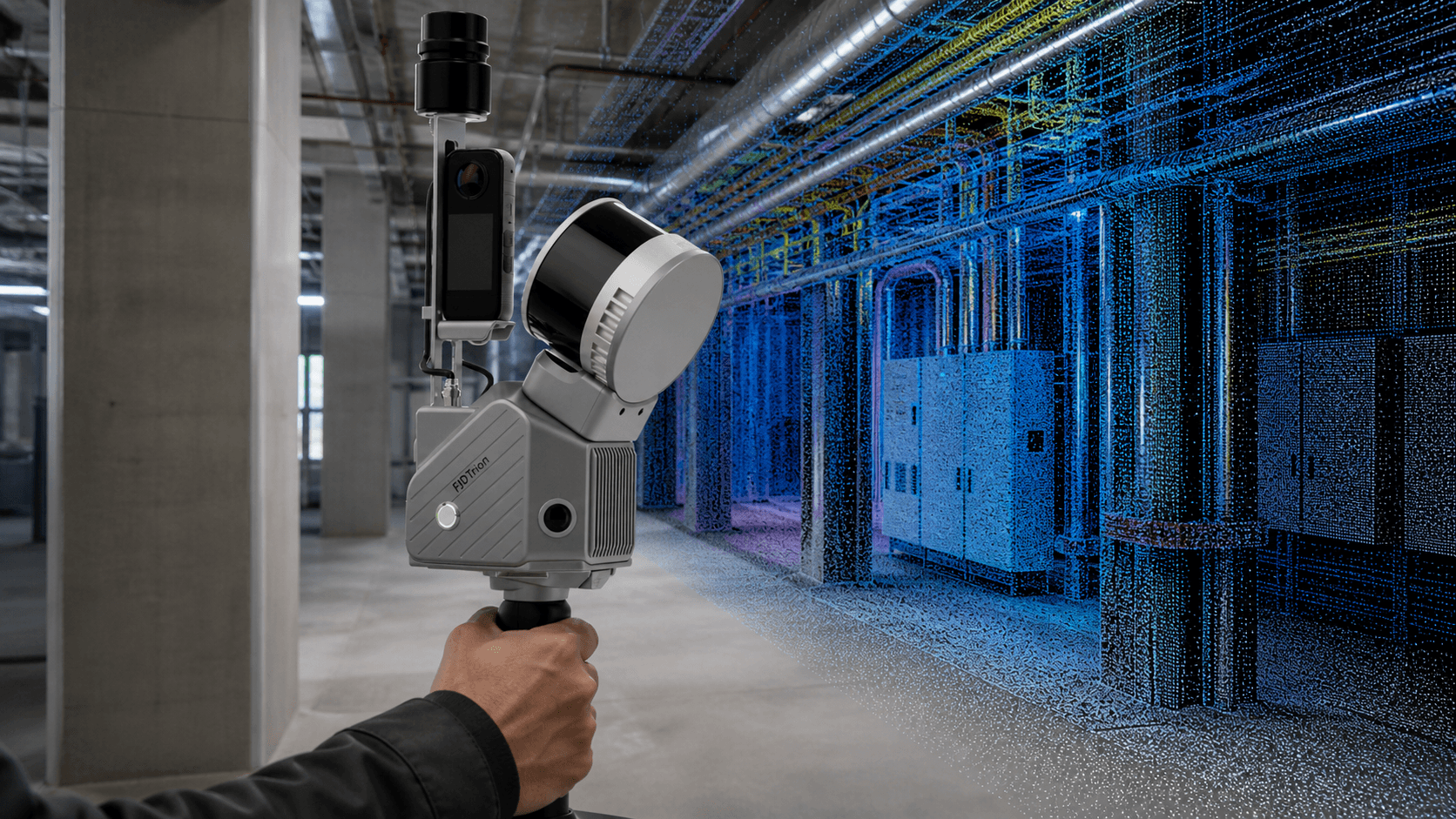
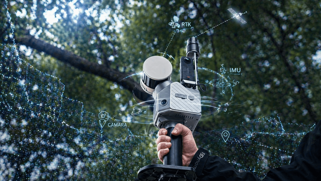
LiDAR + Color Camera
Combines LiDAR and cameras to generate colorized point clouds useful in modeling, inspection, and as-built documentation.
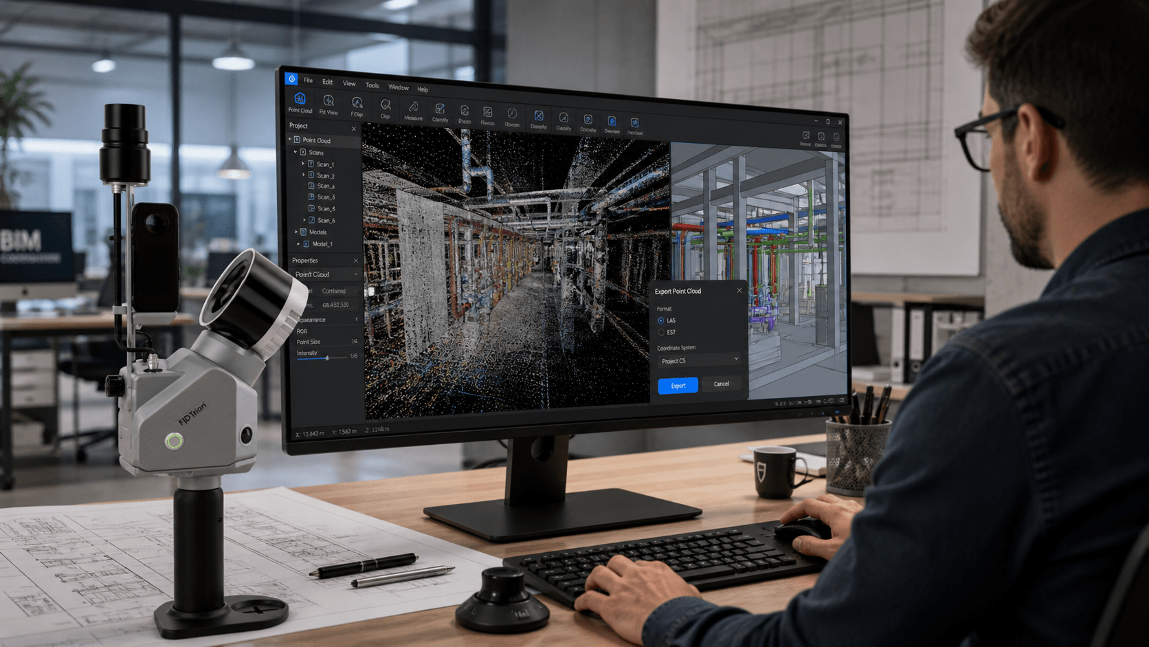
Point Clouds
Export clouds in .las and .e57, useful for BIM workflows via design software (ZW Soft, Autodesk, Bentley, Graphisoft, etc.)
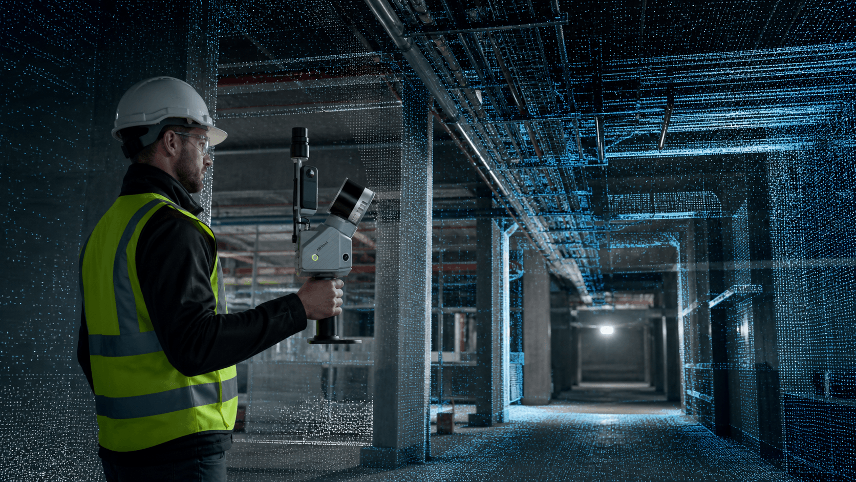
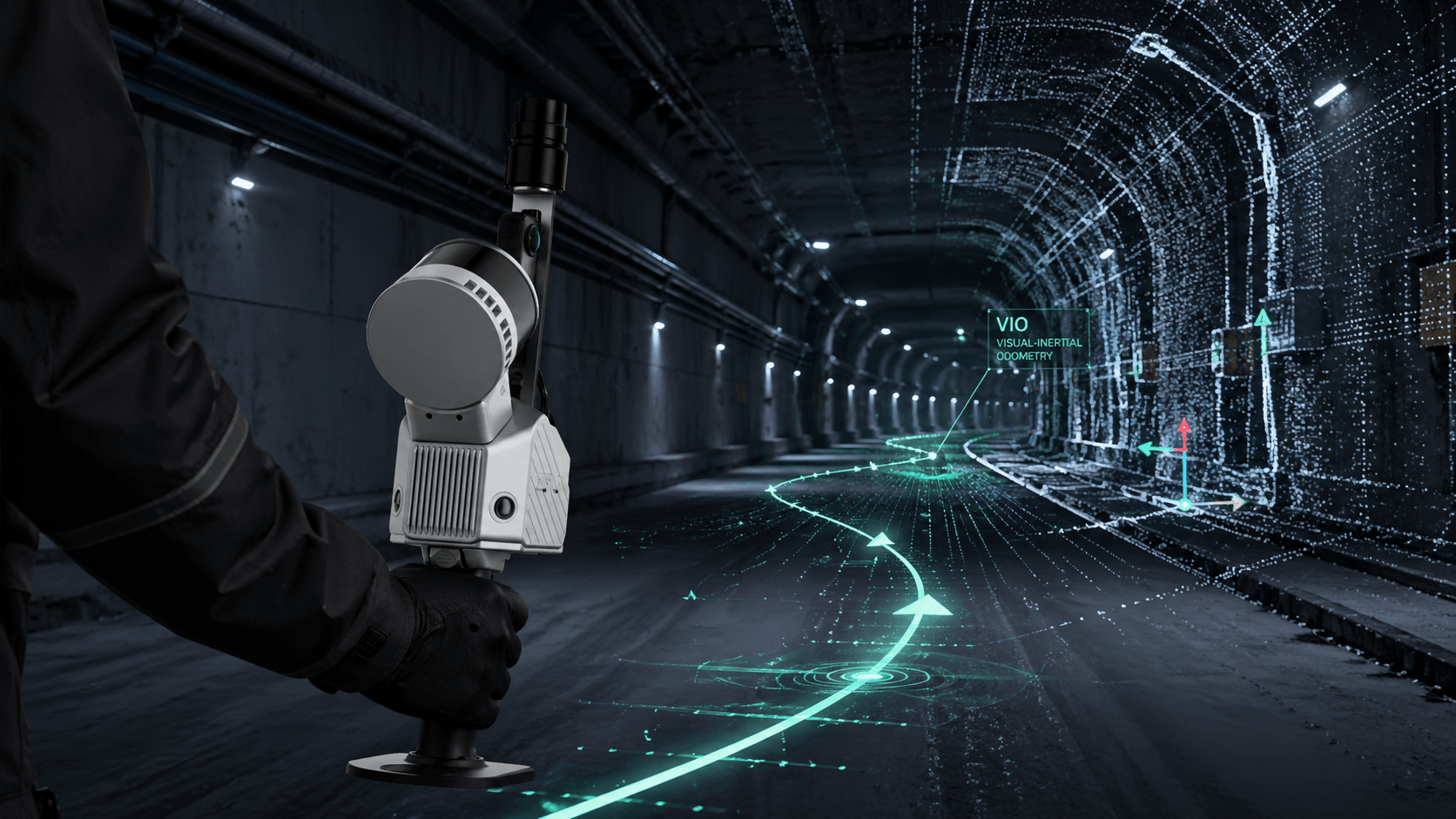
VIO Technology
Its SLAM system with integrated cameras allows working indoors or in areas where GNSS signal is limited.

Std: ≤1 cm rel. / 3 cm abs.
Pro: ≤1 cm rel. / 3 cm abs.
Max: ≤1 cm rel. / 3 cm abs.
Std: 80 m @10% / 120 m @80%
Pro: 80 m @10% / 120 m @80%
Max: 80 m @10% / 300 m @80%
Std: 320,000 pts/s
Pro: 640,000 pts/s
Max: 640,000 pts/s


Comprehensive cloud workflow

Diverse data sources
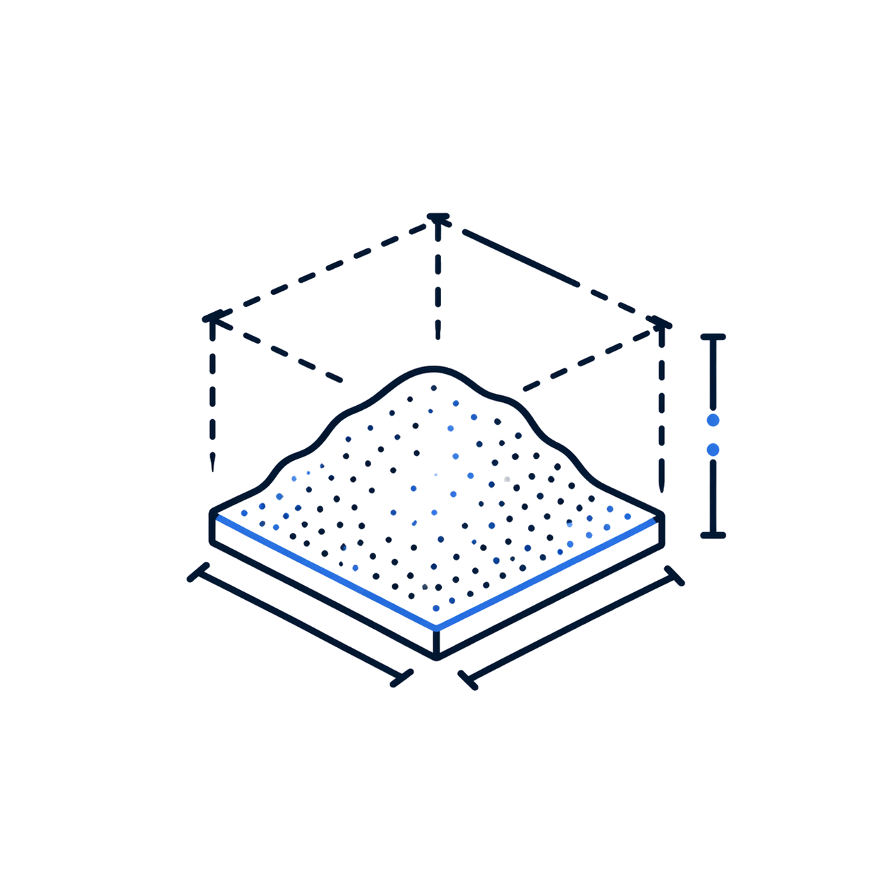
Volume calculation
Automatic classification
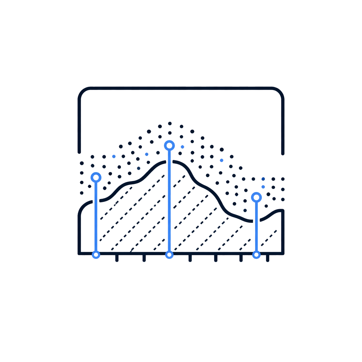
Profile Analysis
On-site processing
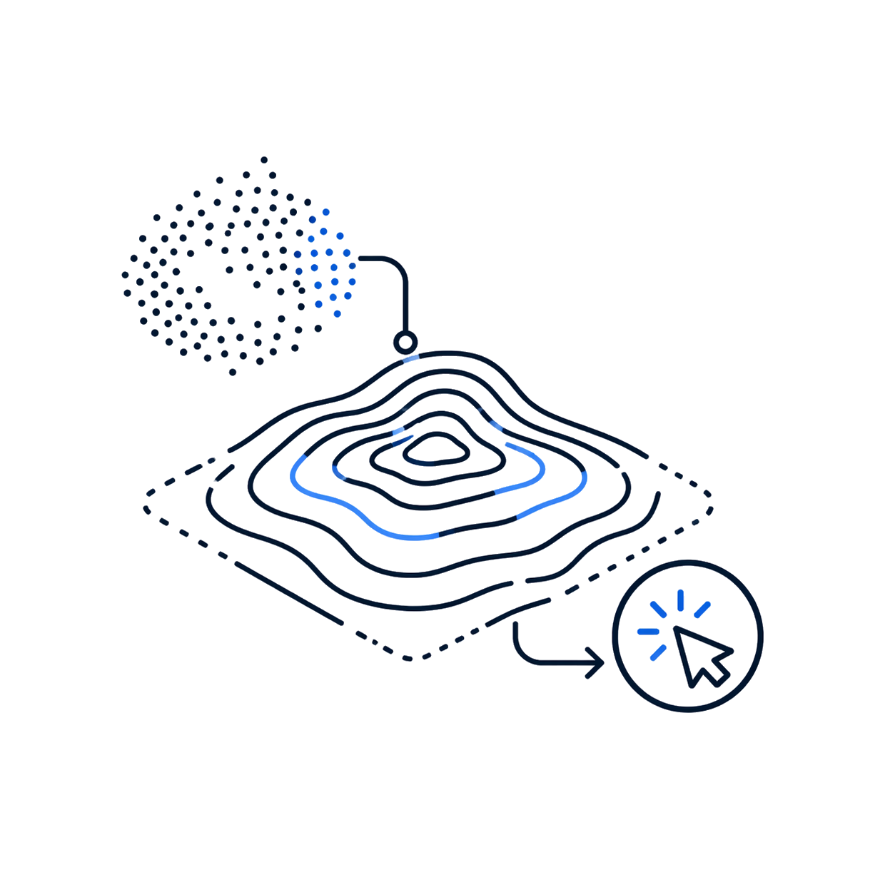
Automatic contour lines
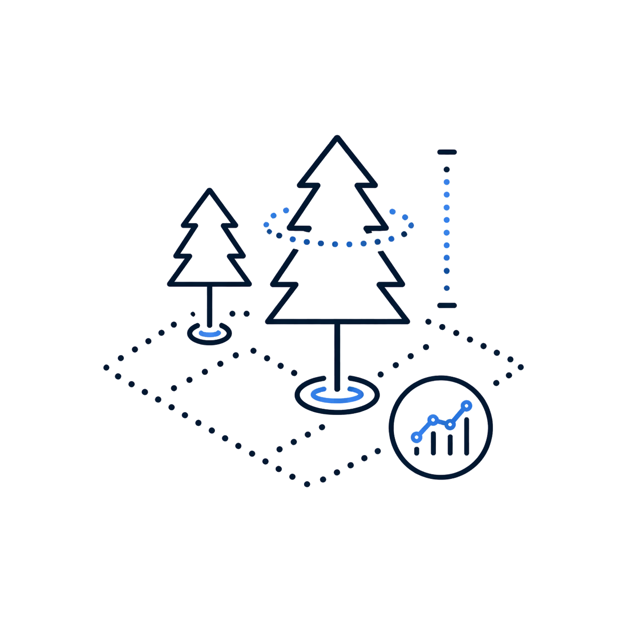
Forest parameters
Read contents list
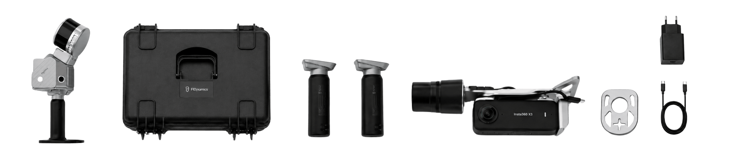
- 1 FJD Trion S2 Laser Scanner
- 1 Rigid suitcase
- 1 Metal scanner base
- 2 Handles with internal batteries
- 1 Mini RTK Antenna
- 1 Insta360 X5 Camera
- 1 Cleaning cloth
- 1 USB Type-C to Type-C cable
- 1 65W Type-C charger
- 1 FJD Trion Model Basic post-processing software (permanent)
- 1 FJD Trion Scan mobile app

Product warranty
Access to product training course
Exclusive Level 1 discounts
Direct training with our support team
Included in your purchase 12 months

In-person and online training
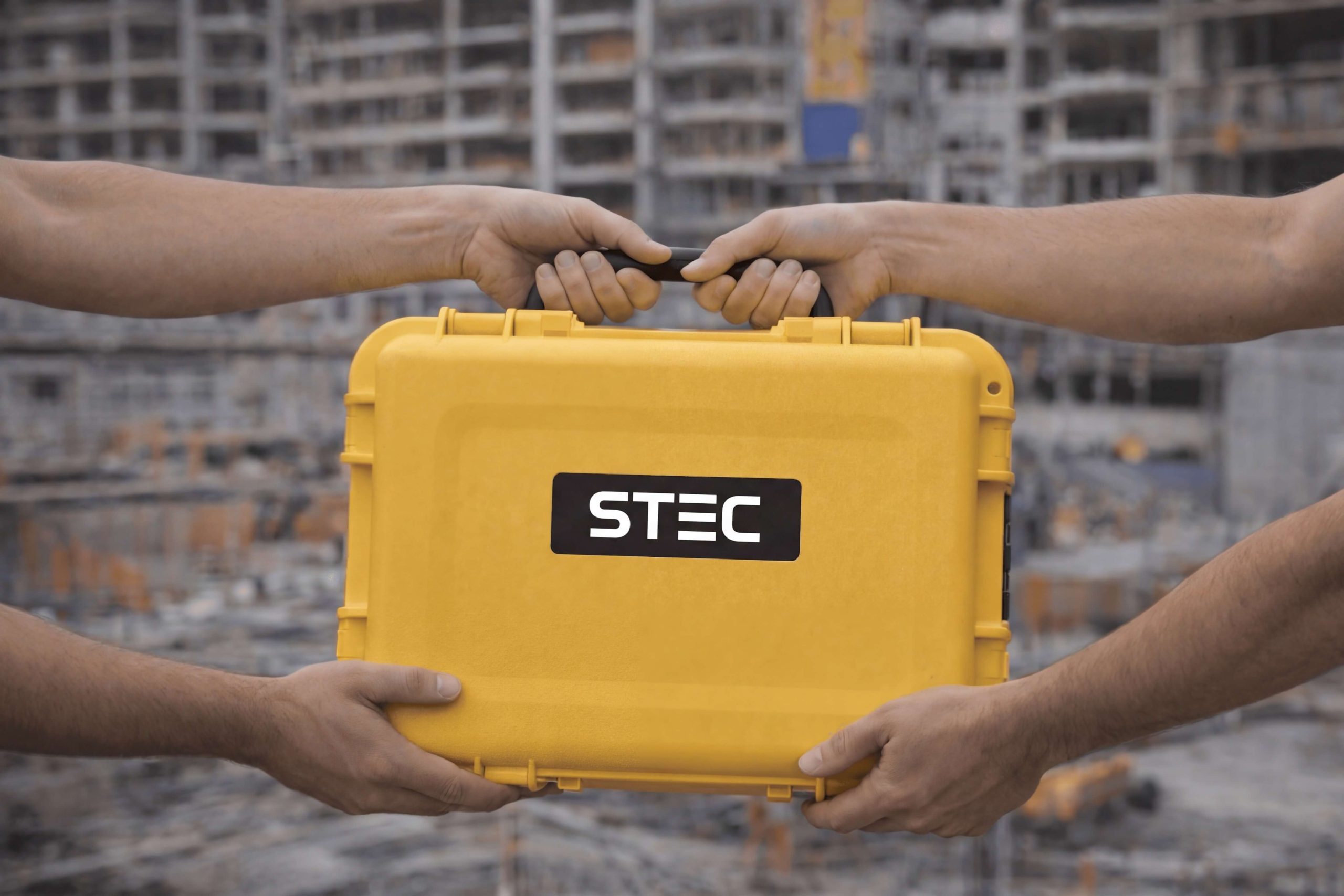
Factory and Realtek warranty
Official warranty and local Realtek support: diagnosis, coordination, and follow-up to get you back up and running quickly.
Yes. All our products include training through the free GoKeep program. Additionally, our support channel is always available to provide you with a quick response to any technical or commercial questions. You can find our WhatsApp contact directly in the footer of our website.
Yes, we ship to different regions of the country. The cost and delivery time may vary depending on the municipality or region of destination.
No, the published prices are net and VAT is added at checkout.