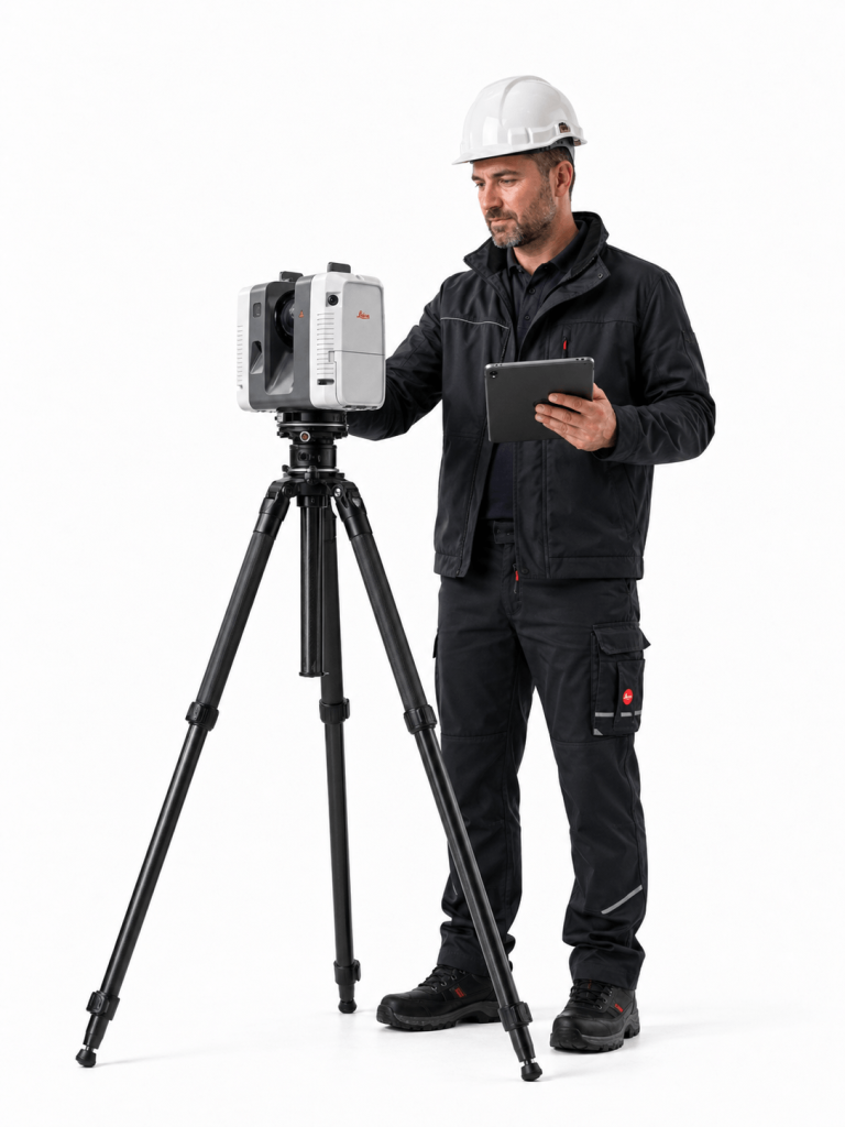
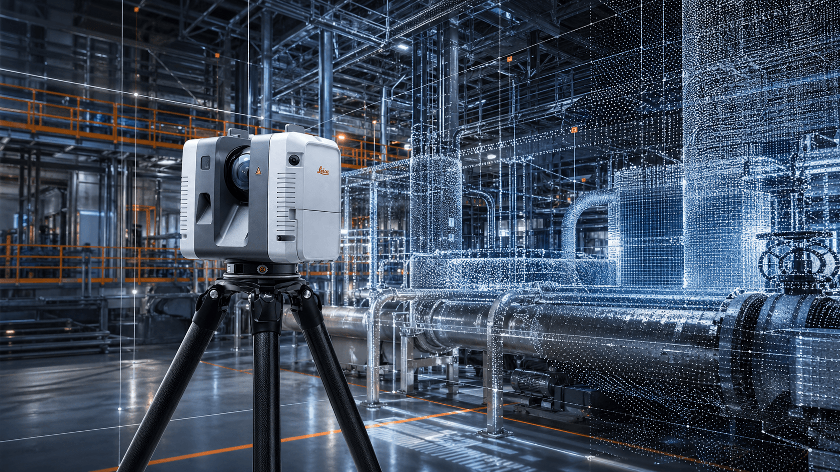
Leica RTC 360

From $63,990,000 + VAT
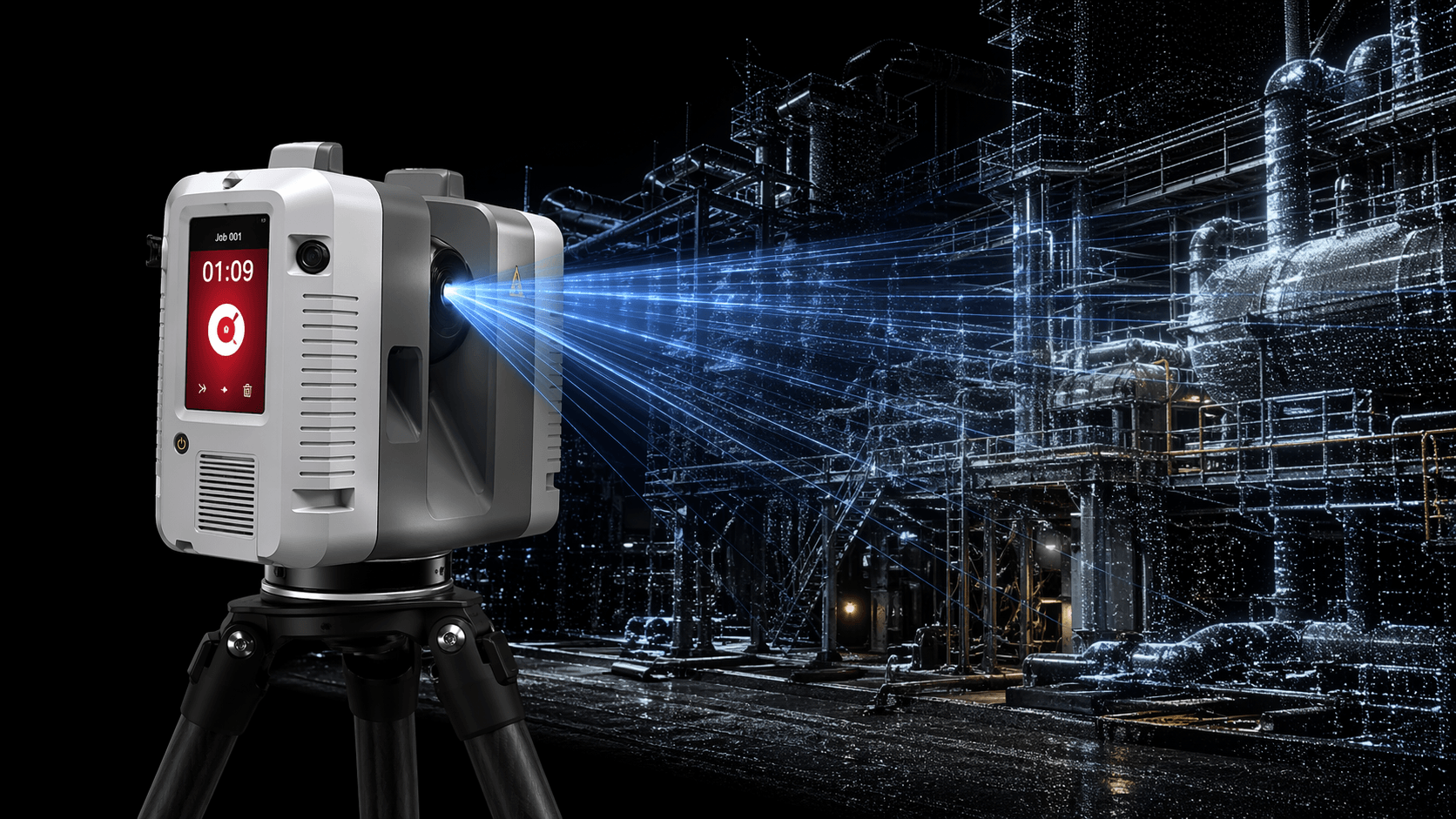
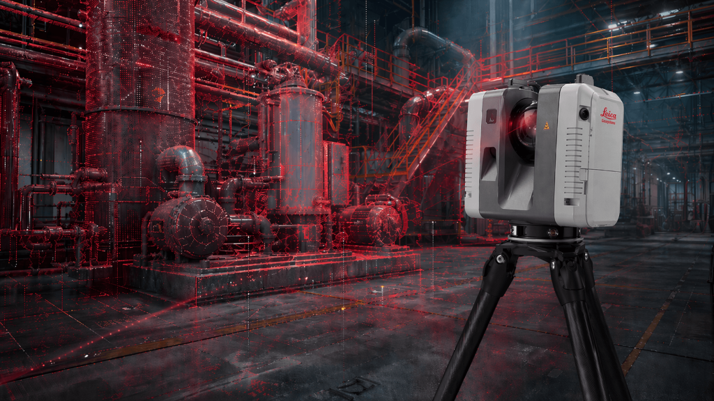
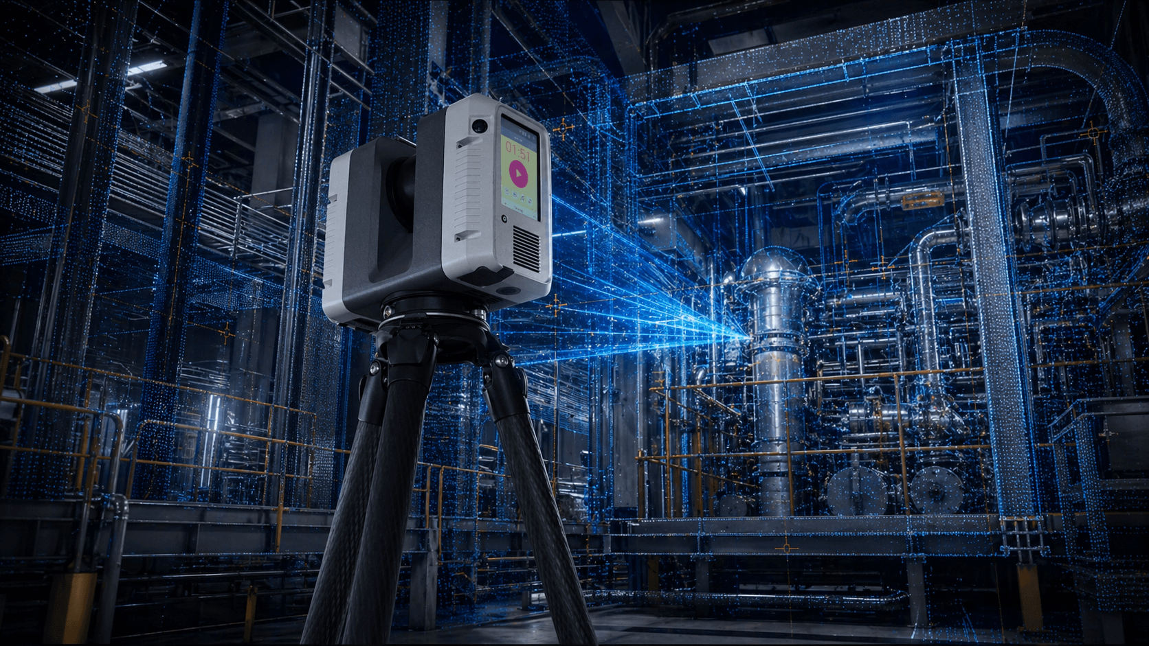
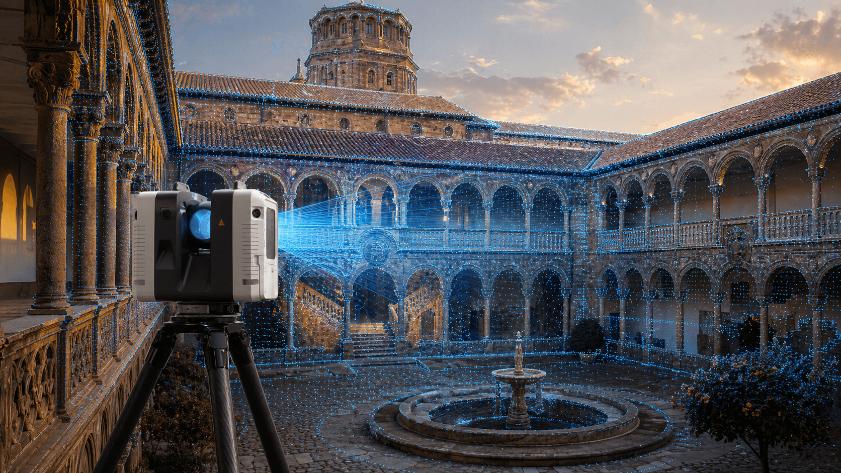
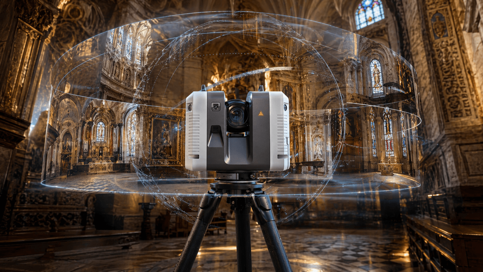
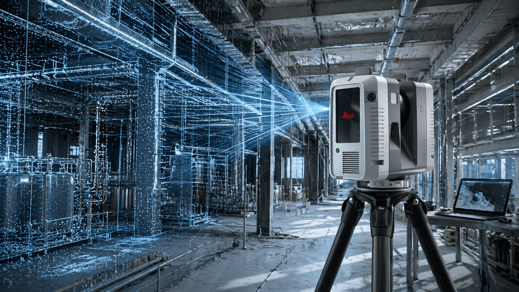
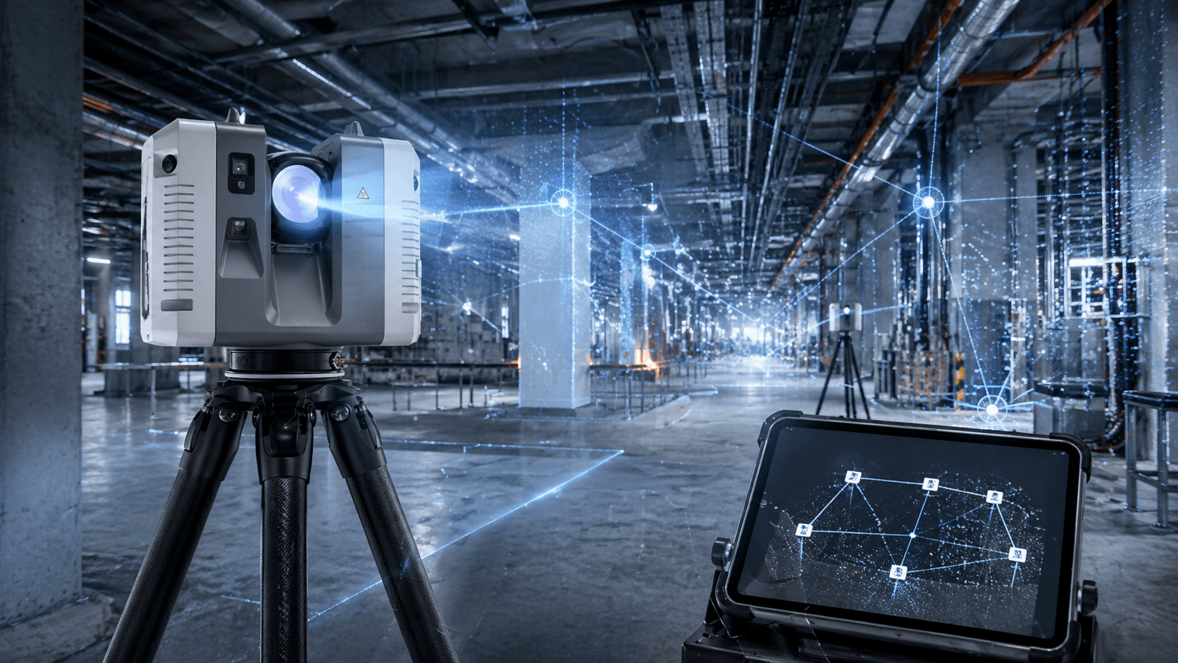
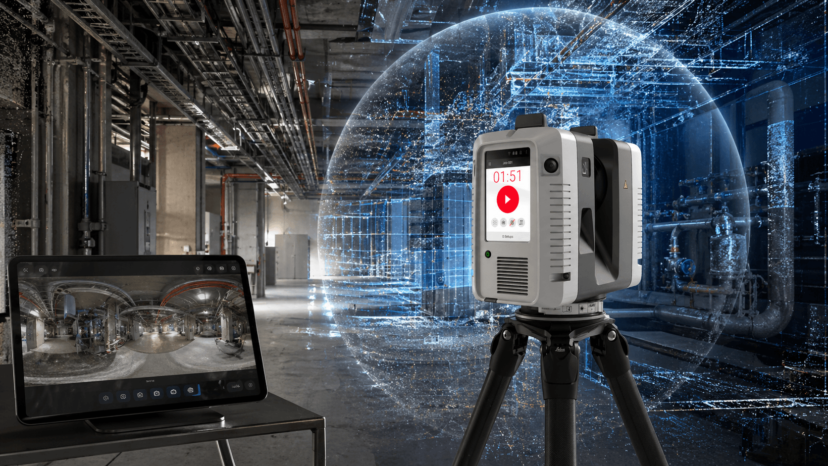
Superior performance for high-level captures. Designed for demanding applications, this laser scanner optimizes field work with fast point cloud capture and automatic registration.

What makes it unique

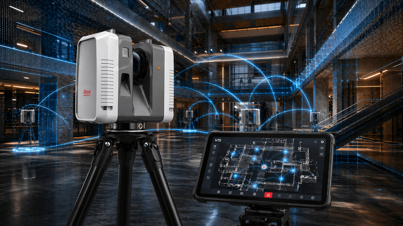
VIS system with automatic registration
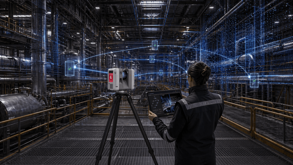
Automatically connects scans in the field, optimizing the capture process and reducing post-processing work.
2,000,000 points per second
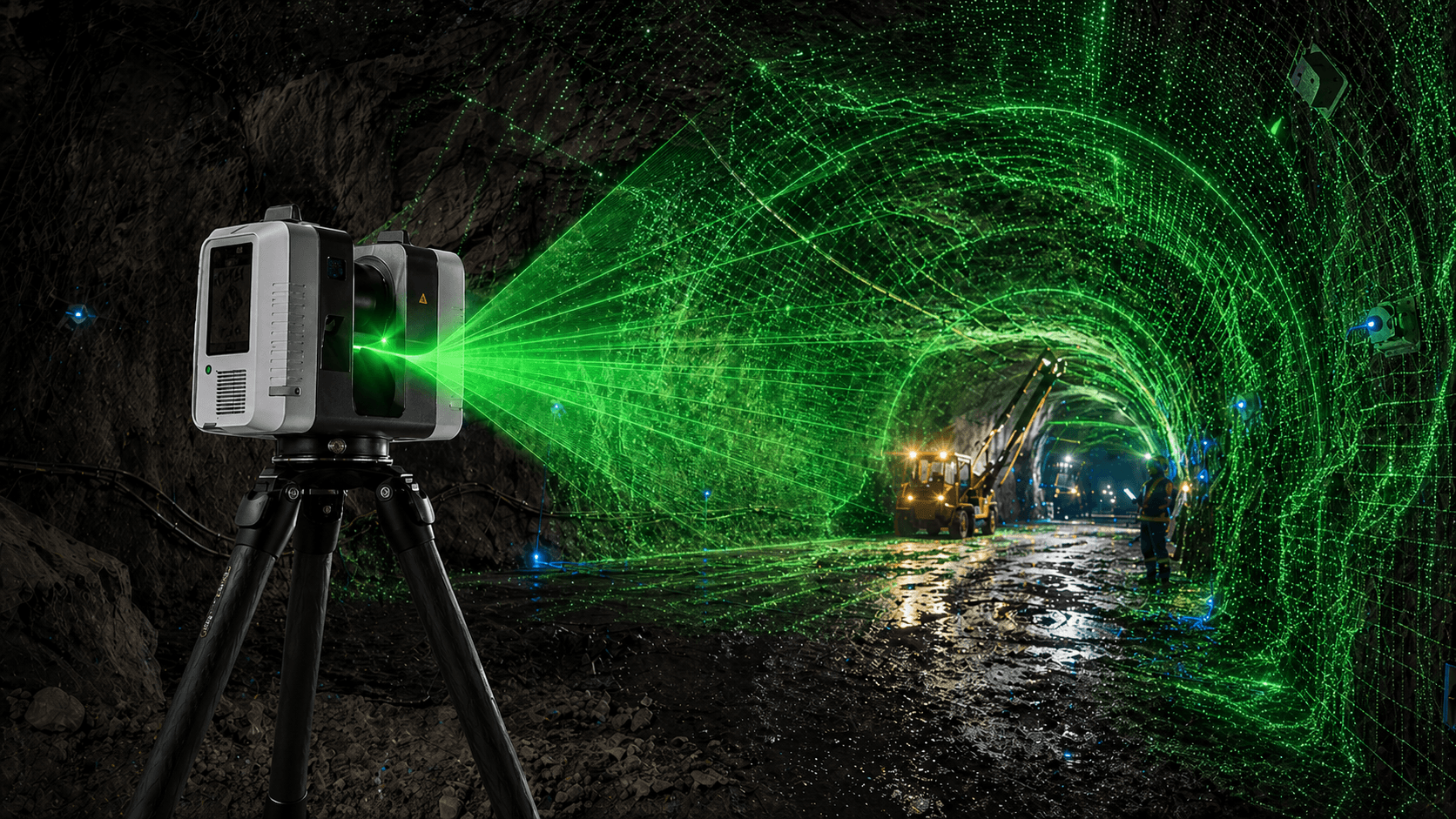
Guarantees high-density point clouds with millimeter precision in unbeatable scanning time.
Accuracy 1.9 mm at 10 m
Superior accuracy level for jobs requiring reliable data, technical control, and high-quality results.

Capturing reality in 3D with speed
and high precision has never been so easy.

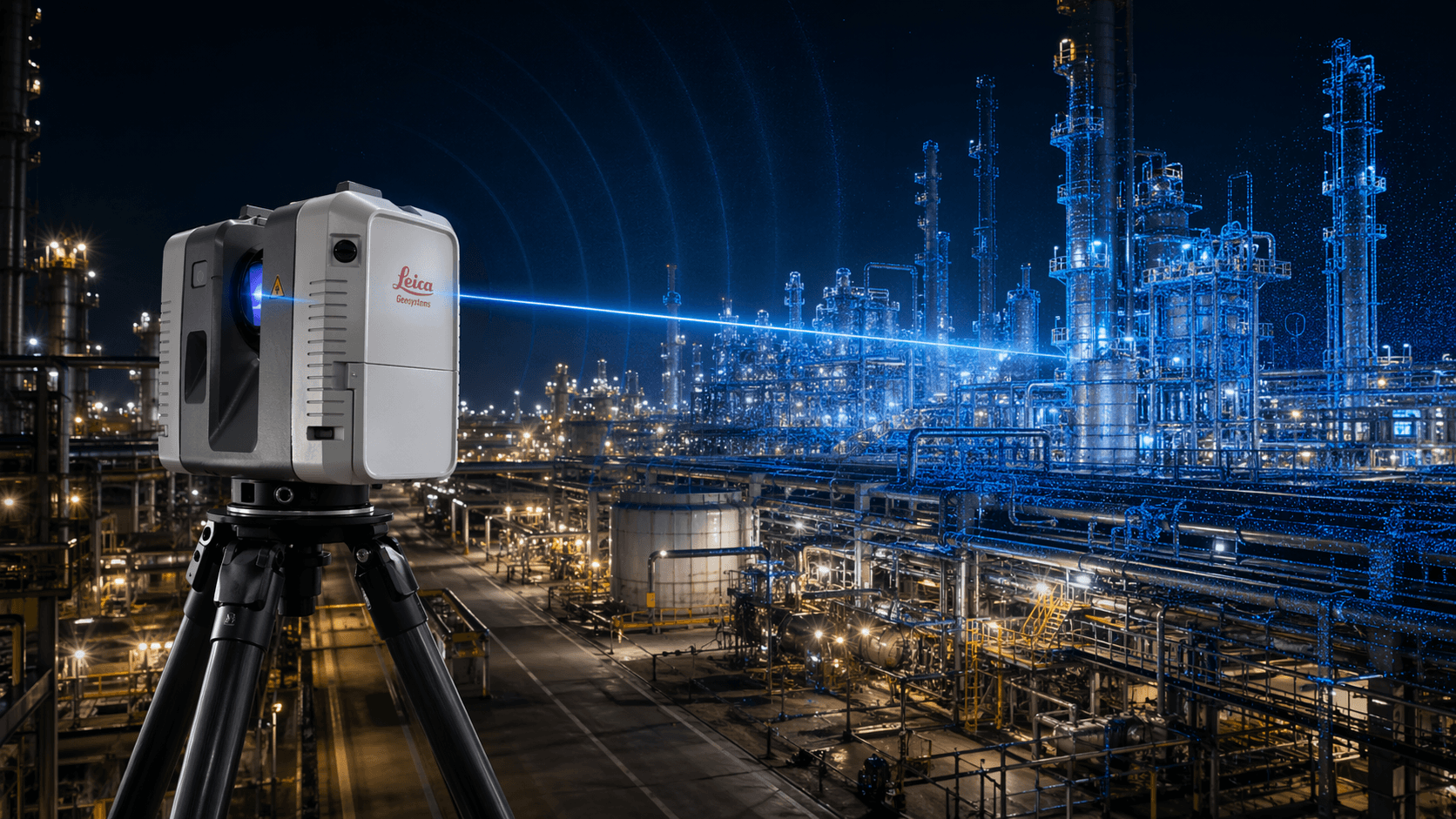
Industrial Range of 130m
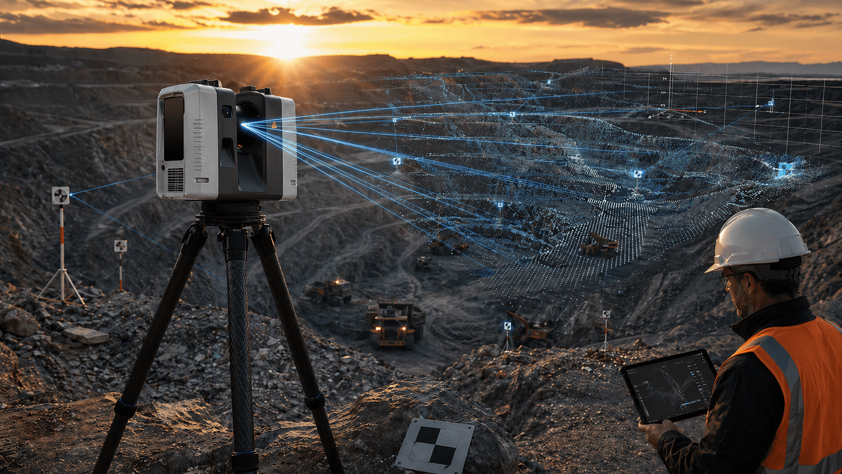
Designed to capture large infrastructures from a single position, with a range that provides coverage, efficiency and performance.
Millimeter Precision
Offers 1.9 mm accuracy at 10 m for reliable information, greater technical control, and high-level results.
Maximum Productivity
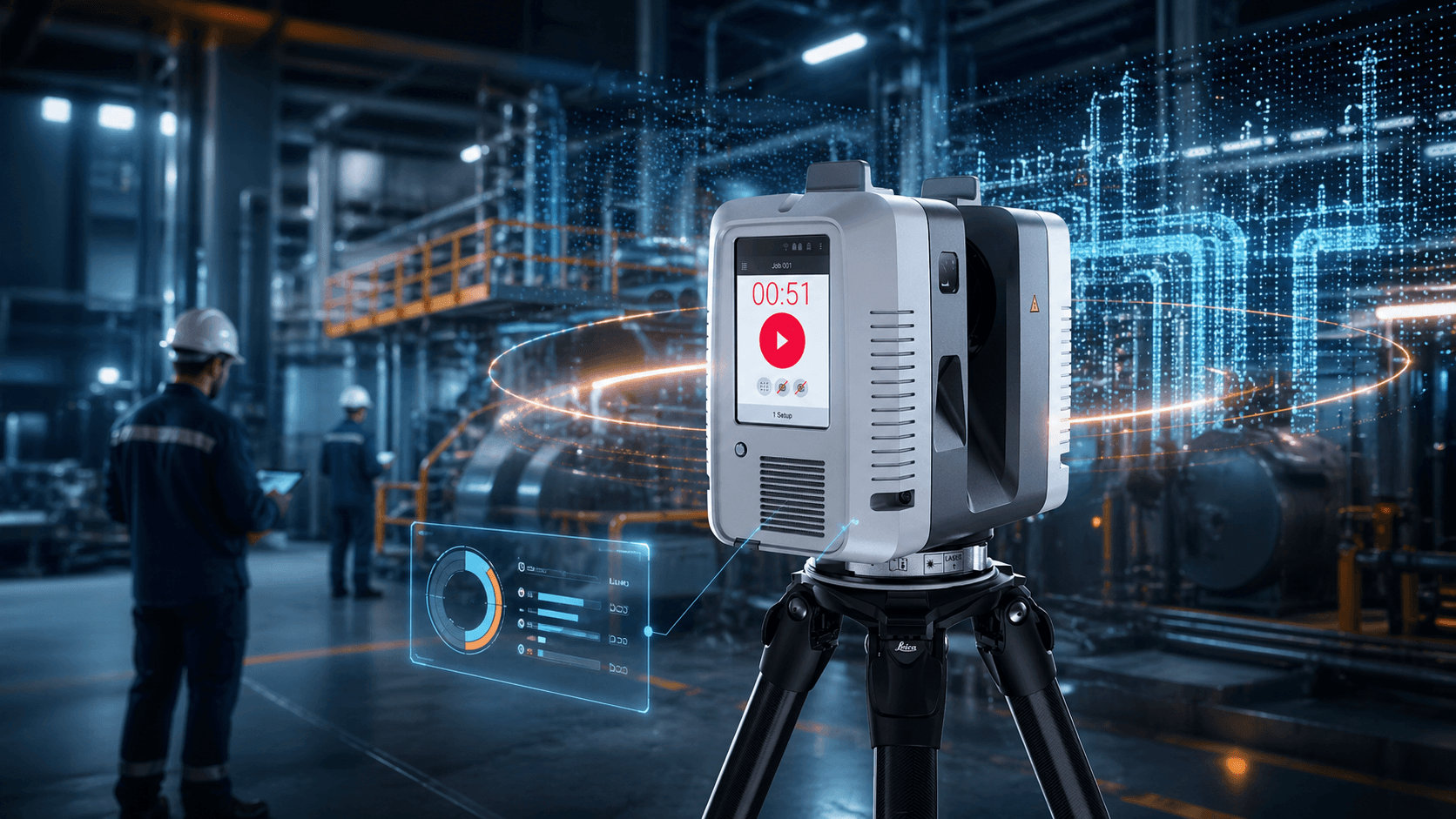
Captures complete scans in just 26 seconds, allowing you to move faster and optimize each day in the field.
VIS Continuous Alignment
Continuously track between stations to join point clouds in real time and simplify workflow.

Precise for engineering
suitable for precision

Especially
created for you

Testimonial

“It gives us efficient, optimal and fast capture solutions”

Alfredo Solorza – IG3

More than 1000 satisfied customers.

It is not a coincidence.

Technical specifications
Camera system

3 cameras, 36 MP
432 MP raw spherical

Capture rate
Up to 2,000,000 pts/s
Measurement time
<2 min per full dome scan with HDR image
Range
0.5 m to 130 m

The heart of the software

leica

Cyclone Register 360

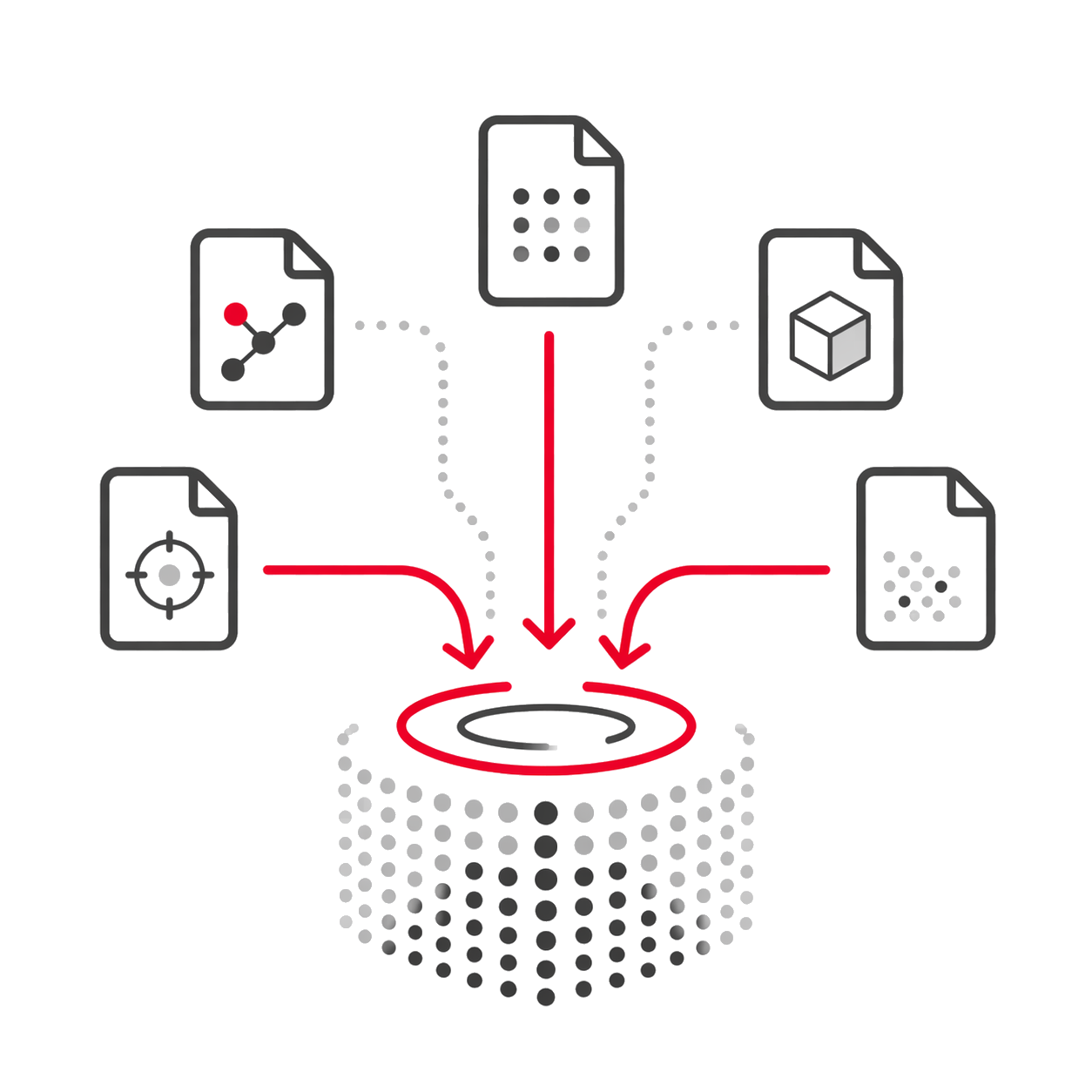
One-step import

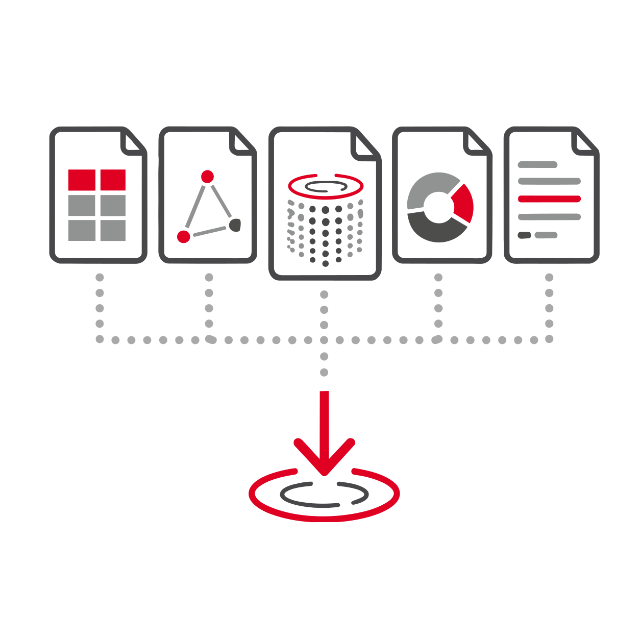
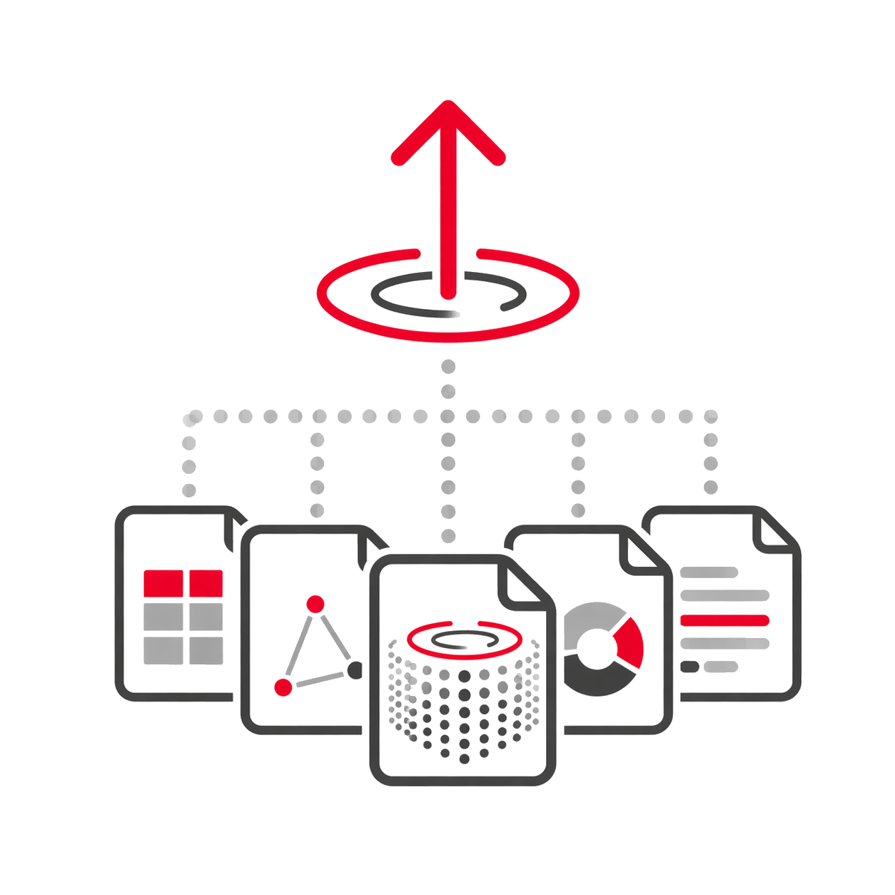
Imports scans in a fast and mostly automated workflow, reducing manual tasks when starting registration.

Automatic extraction

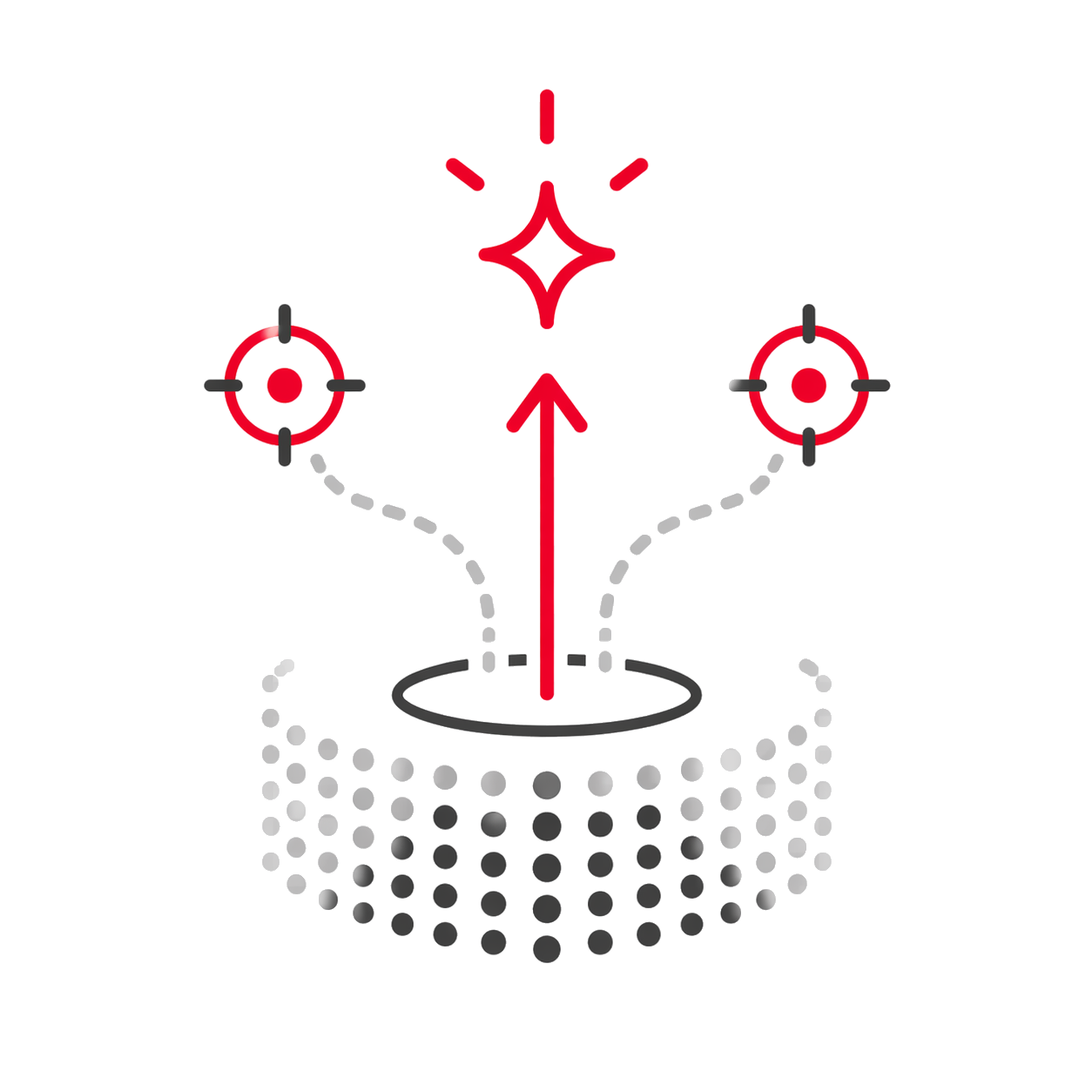
During import, it can process pre-registration, extract targets, and create bundles automatically.

Filtering and optimization

It also filters noise and optimizes registration through cloud feature mapping from the initial stage.

Mobile data support

Works with structured and unstructured setups, including static, mobile, and kinematic scans.

Wide format support

Imports E57, PTG, structured RCP, LAS, PTX, and multiple scanner and asset formats.

Multi-scanner ecosystem

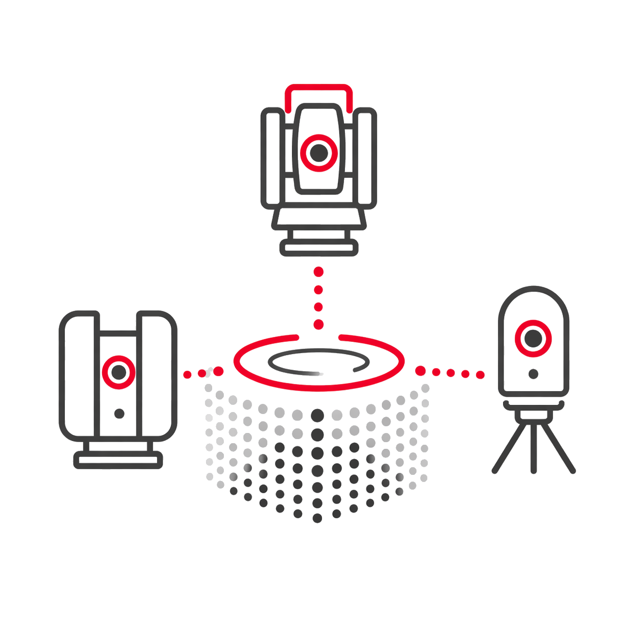
Supports Leica equipment such as BLK360, RTC360, and Pegasus, as well as Faro and Z+F formats.

Log report

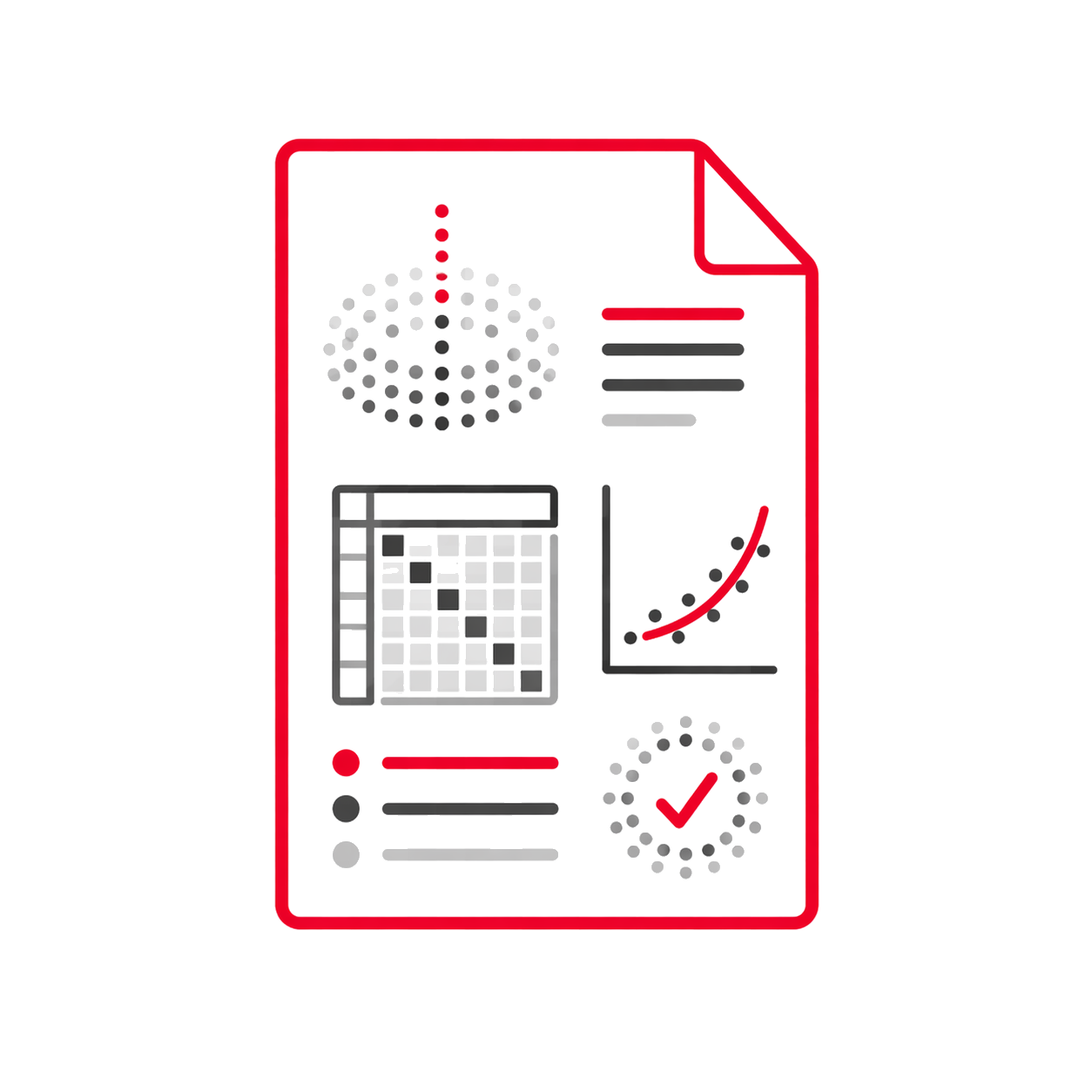
Generates reports with SiteMaps, TruSlices, quality matrix, Global Bundle Error, and error tables.

Batch publishing

Allows batch publishing of multiple Leica files and products, in addition to the report PDF.

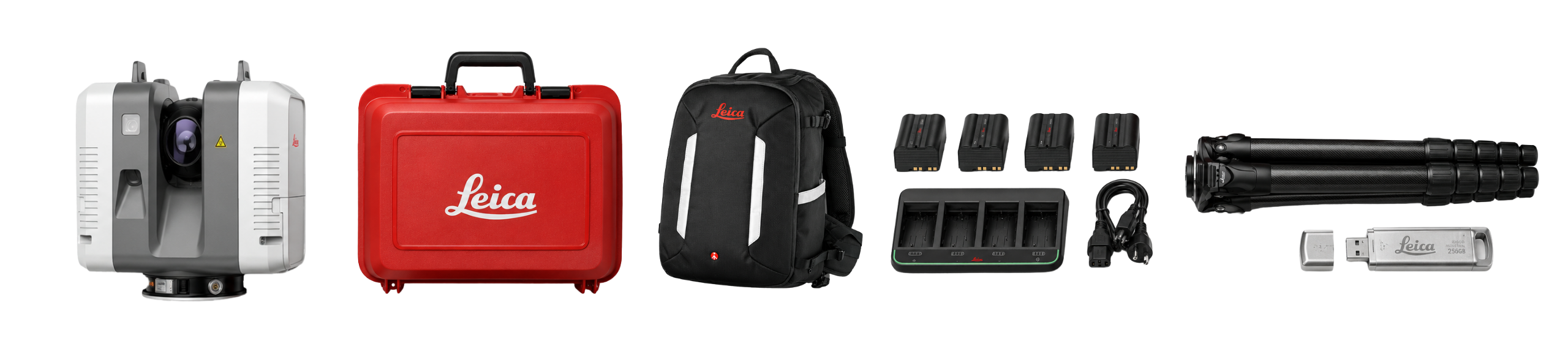
What's in the box?

It also includes

Product warranty

Access to product training course

Exclusive Level 1 discounts

Direct training with our support team

Free

Included in your purchase 12 months

Do you have questions?

Do you have questions?

It is a set of internal cameras that "see" how you move the scanner from one position to another, automatically joining scans without the need for targets.
Yes, it captures high dynamic range images so that point clouds have realistic colors even in difficult lighting conditions.
It weighs about 5.3 kg, making it manageable for a single operator, although it requires a sturdy tripod.
The Leica RTC360 includes 4 base batteries, allowing for greater continuity during field survey days. The equipment operates with pairs of batteries, and each pair provides approximately 3 hours of continuous use, depending on the number of scans, capture settings, image usage, temperature, and operating conditions. This allows for planning productive workdays by alternating battery pairs to maintain a stable workflow and reduce downtime in the field.
The Leica RTC360 includes a 256 GB high-speed data transfer USB drive, designed to store the information captured during the survey. This USB drive is removable and connects directly to the computer, facilitating a quick and organized download of data to continue with registration, processing, or review in the office. Simply put: the workflow is practical and efficient. Capture in the field, remove the USB drive, and take the data directly to the computer to continue working.
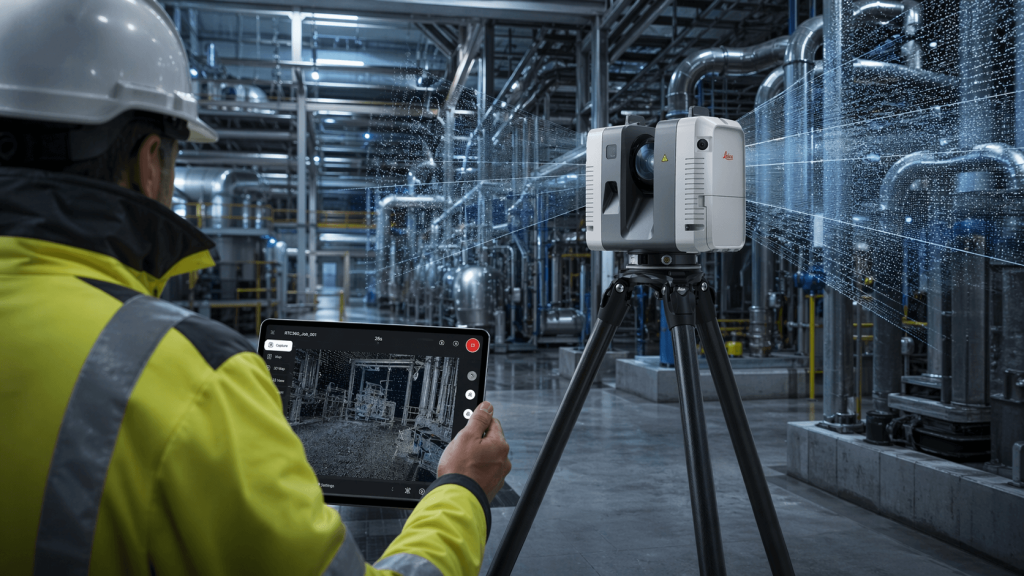
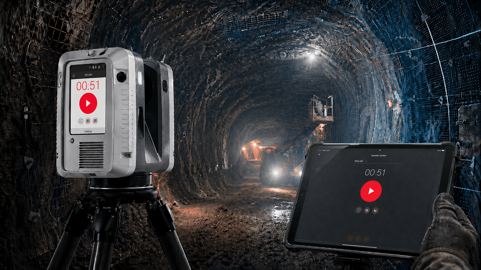
Yes. The Leica RTC360 can be used with a cell phone or tablet via the Leica Cyclone FIELD 360 app, allowing you to control the survey, review captures, and manage fieldwork more visually. Additionally, the unit can also be operated directly from its integrated screen, giving the user flexibility to choose how to work based on the project type, environment, and operator preference. This enables a more comfortable operation, both for those who prefer to control the unit from a mobile device and for those who need to work directly from the scanner.

Yes. All our products include training through the free GoKeep program. Additionally, our support channel is always available to provide you with a quick response to any technical or commercial questions. You can find our WhatsApp contact directly in the footer of our website.

Yes, we ship to different regions of the country. The cost and delivery time may vary depending on the municipality or region of destination.

No, the published prices are net and VAT is added at checkout.
Talk to an advisor

Response in less than 5 minutes.

Experts in precision

Discover more solutions by category.

GNSS Systems

Laser Scanner

Cameras

Total Stations

Detection Systems

Levels

Software