Geospatial power,
big decisions

Process, analyze and visualize geospatial, LiDAR and cartographic data in a powerful, flexible platform recognized for its innovation.

Global Mapper

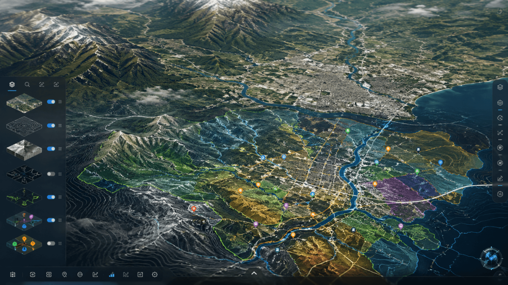
Complete view of the territory
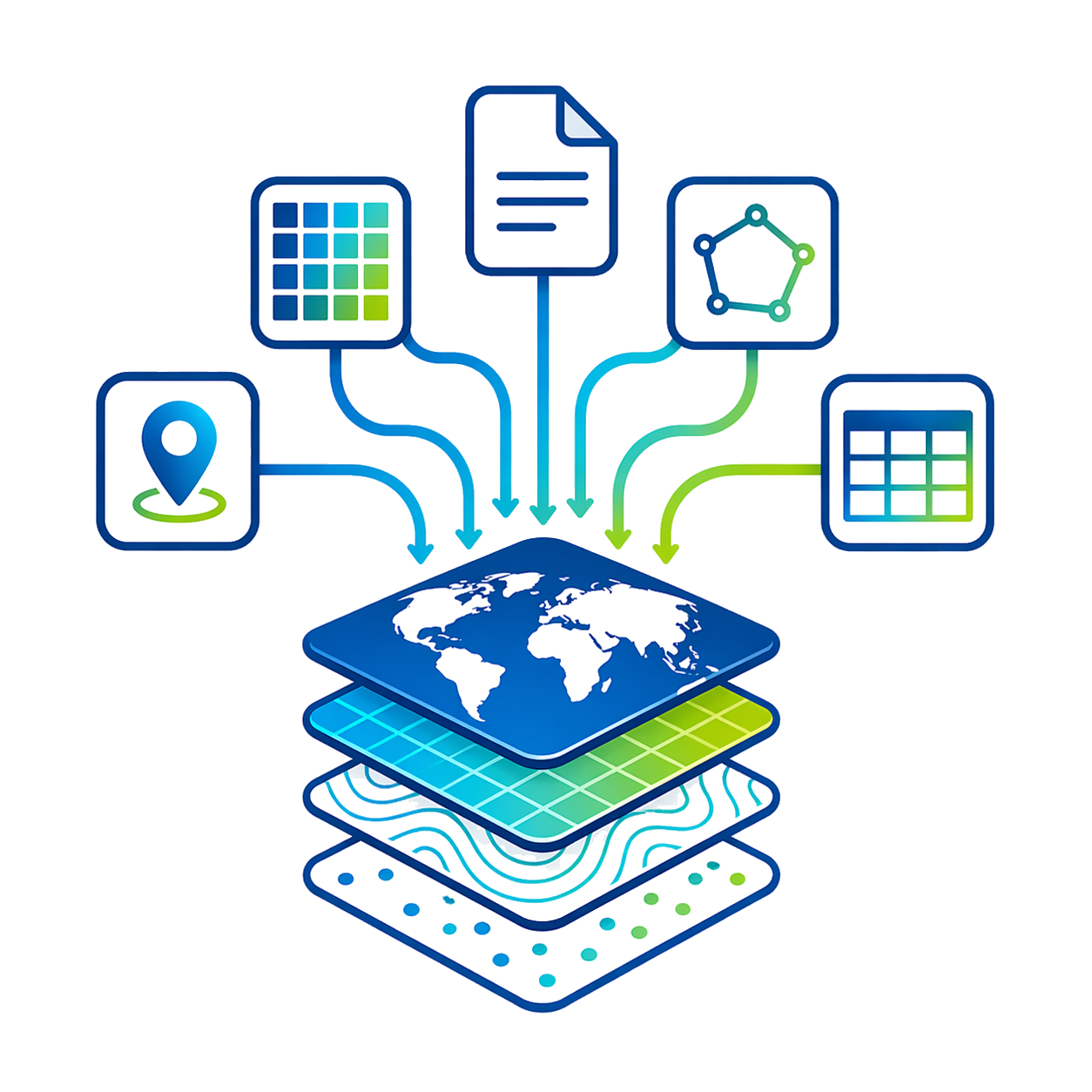
Centralize layers, images, elevation models and geospatial data in a single environment, delivering a comprehensive reading of the work area.
Accessible analysis
Simplify the interpretation of complex geospatial information through clear tools, allowing more users to analyze data without unnecessary technical processes.
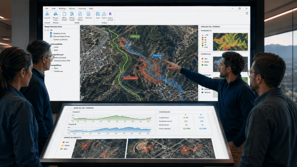
More precise planning
Allows comparing scenarios, projecting alternatives and evaluating terrain conditions before execution, helping to reduce risks and improve project planning.
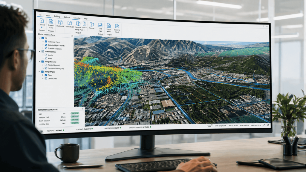
Efficient management of large volumes
Work with large amounts of geospatial information while maintaining stability and performance, even in extensive or highly complex projects.

Analyze, transform, and master
your geospatial data.

Unlimited features

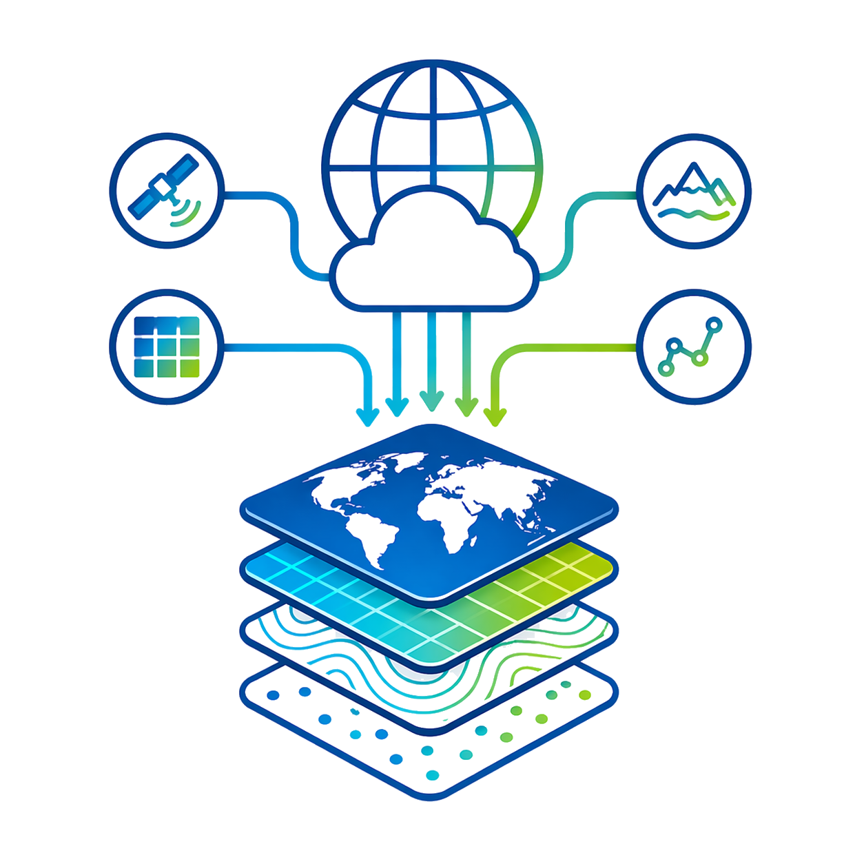
Wide format support

Supports hundreds of formats to integrate heterogeneous data, useful when a project gathers information from multiple sources.


Integrated online sources

Access imagery, basemaps, terrain, and vectors online, streamlining territorial review without leaving the software.

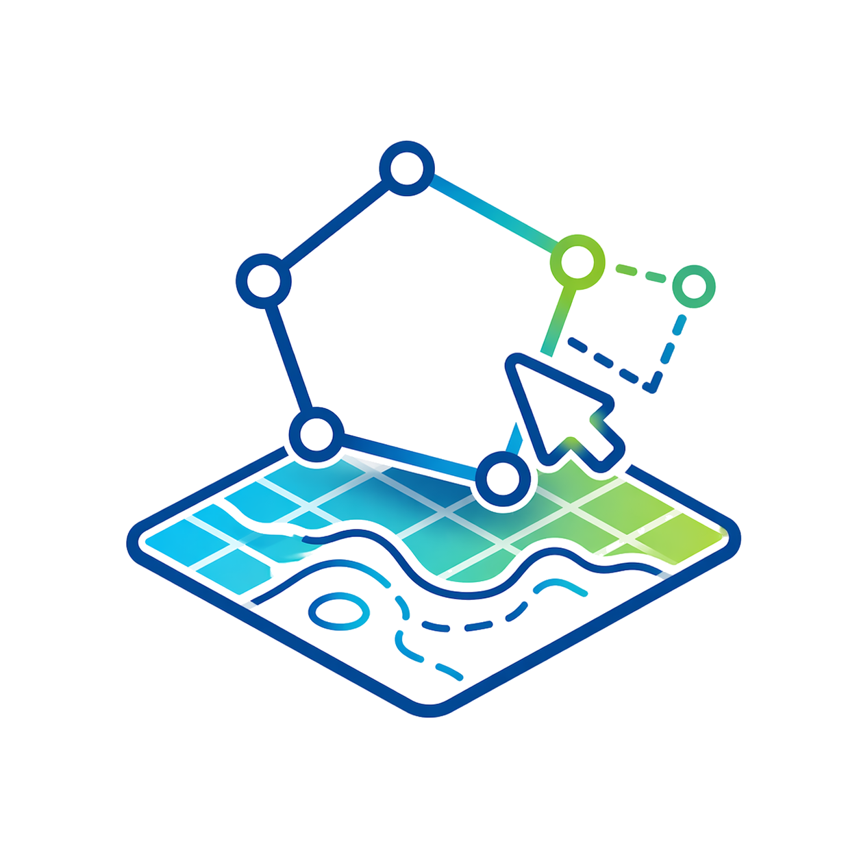
Vector and spatial editing

Includes drawing, editing, analysis, and spatial operations to prepare useful layers for cadastre, roadways, or environment.

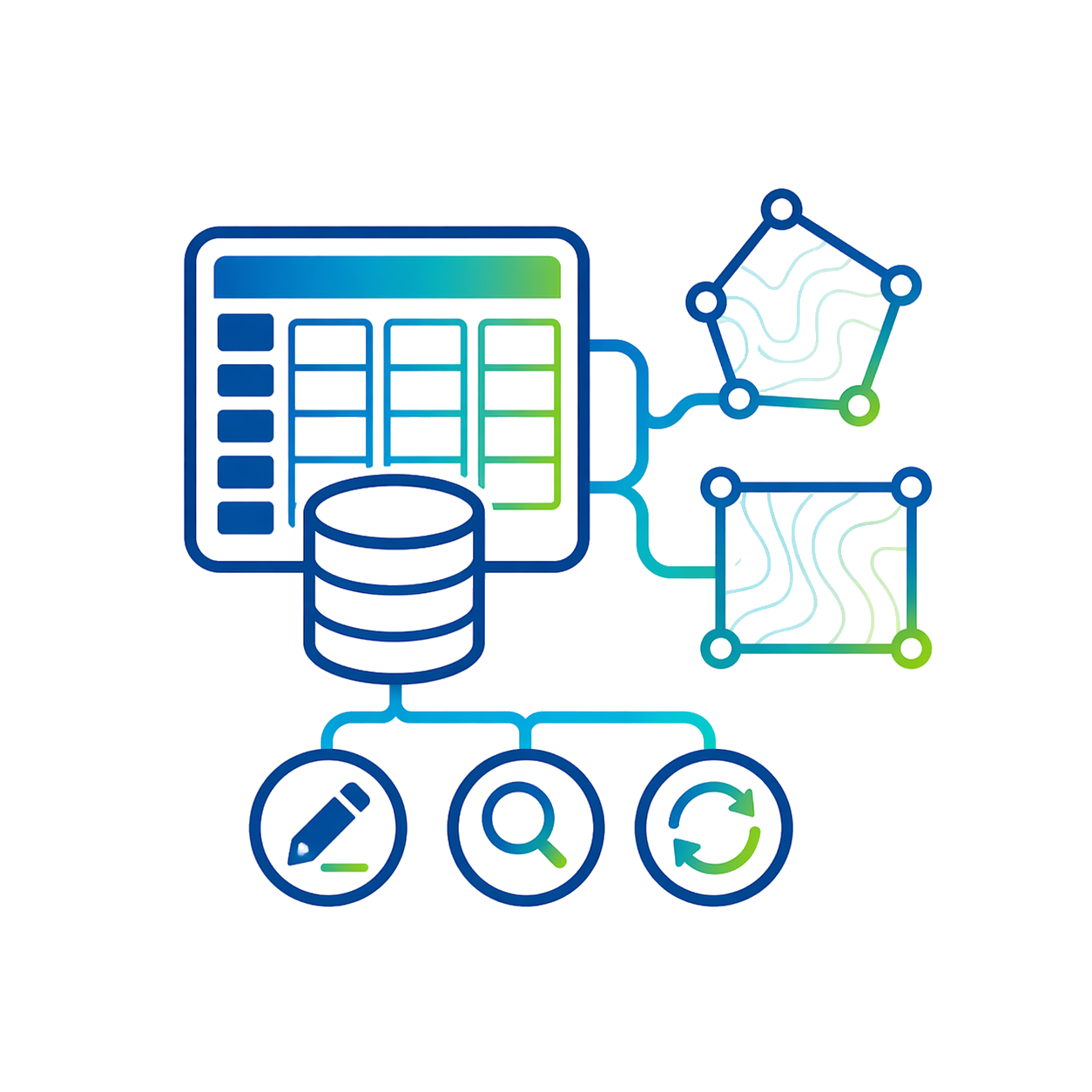
Advanced attribute management

Allows editing, merging, calculating, graphing, and querying attributes to transform data into actionable information.

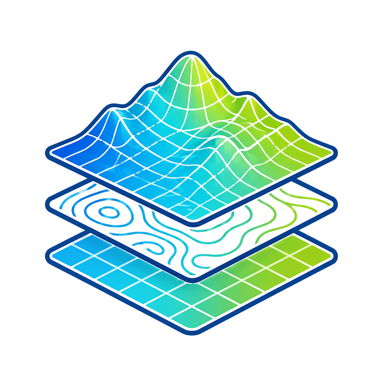
Terrain and surfaces

Create and modify terrain for profiles, base surfaces, preliminary analysis, and construction planning.

Terrain analysis

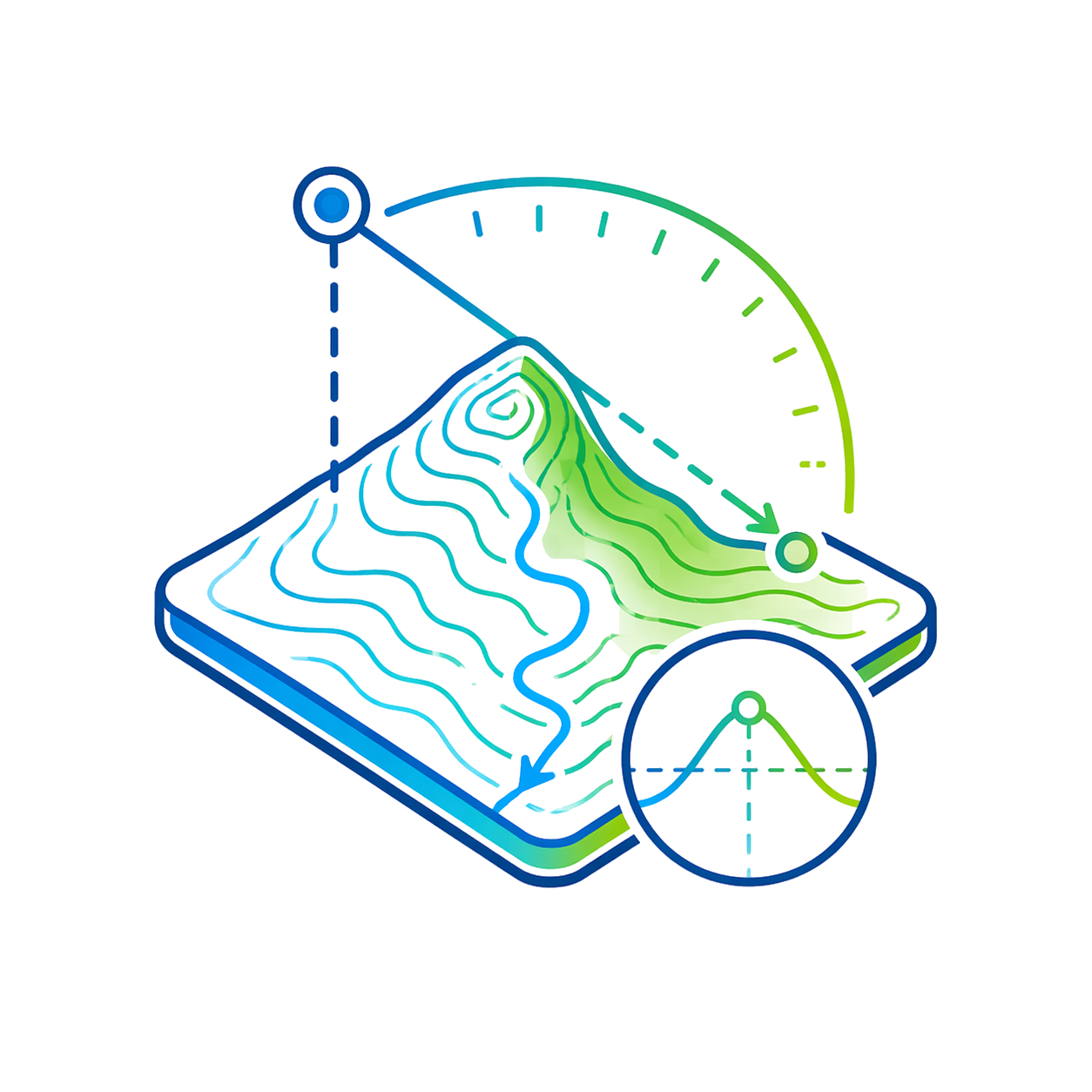
Includes contour lines, line of sight, viewshed, watershed, and flood simulation.

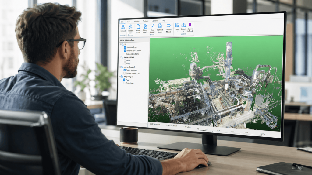
Working with LiDAR

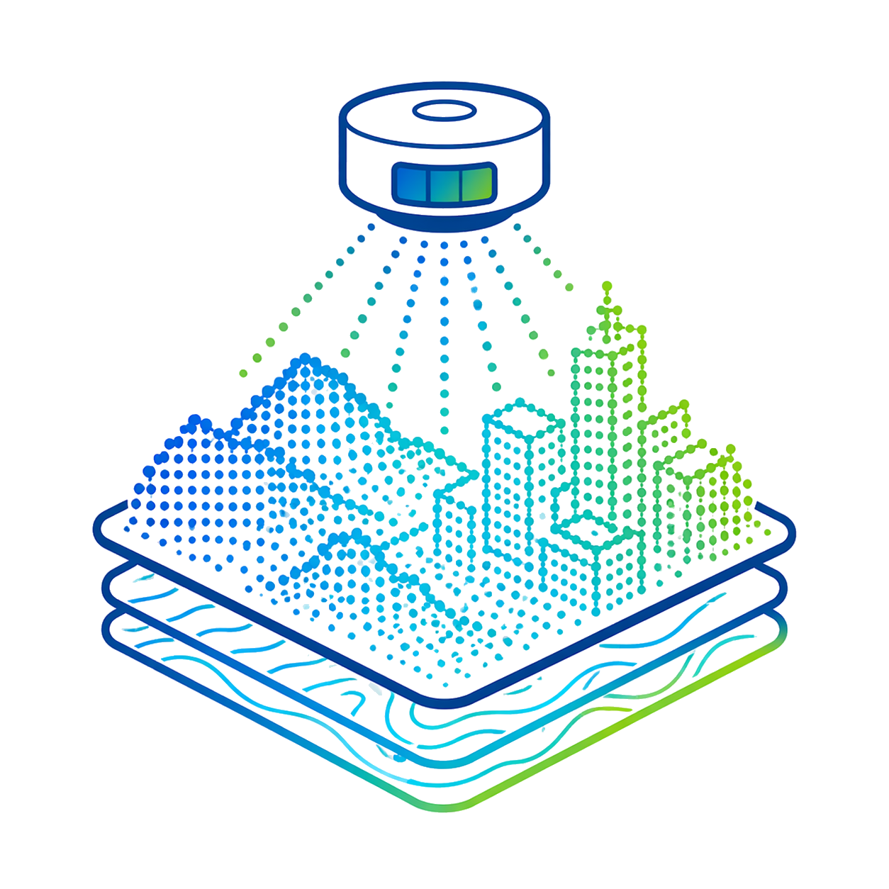
Offers LiDAR visualization, filtering, manual editing, and in Pro, automatic cloud classification and extraction.

Automation and scripting

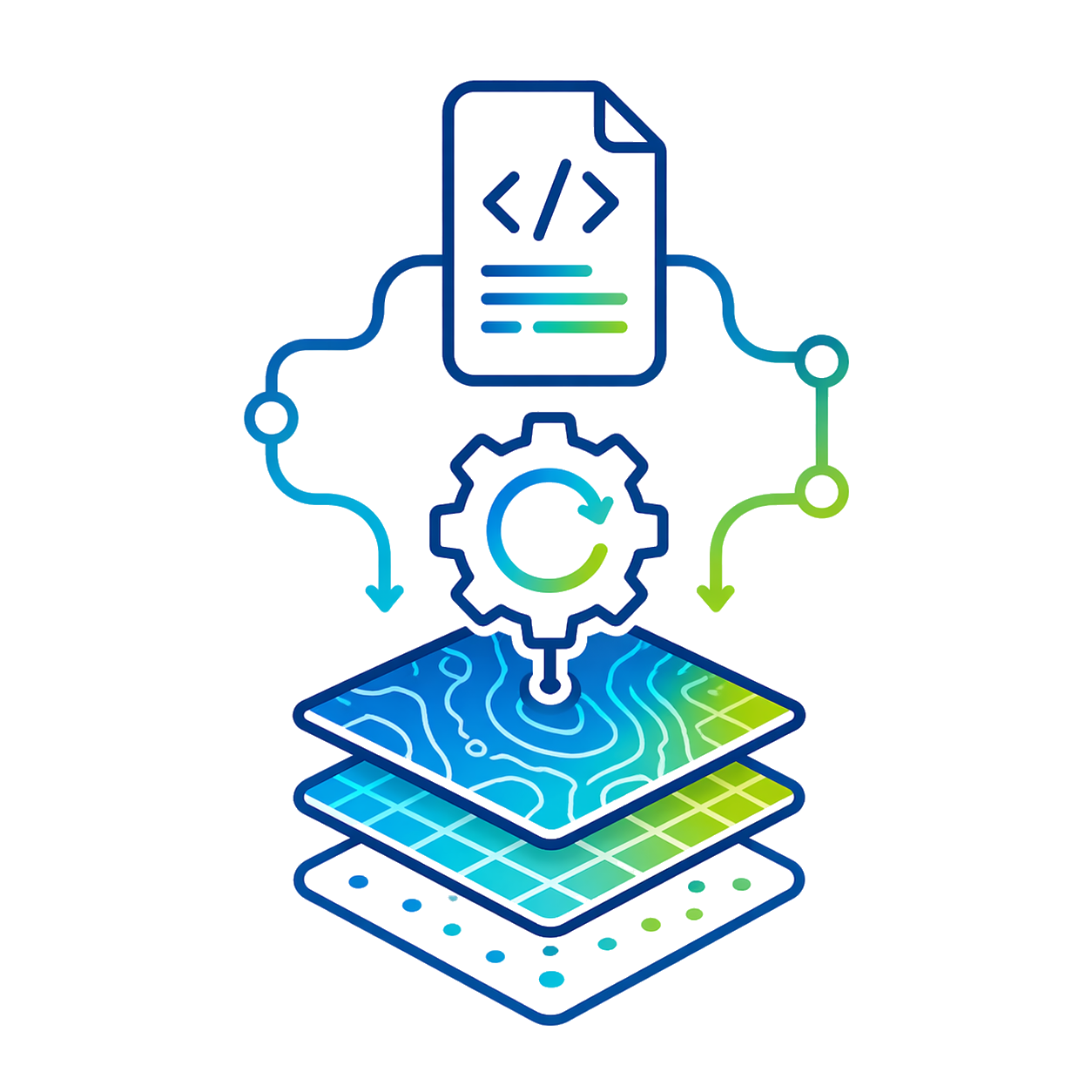
Integrates Script Builder, Script Editor and Python to automate repetitive processes and standardize GIS workflows.

Minimum requirements

Operating system

Win 10 / 11 x64

CPU

Intel 8th gen. or eq.

RAM

8 GB

GPU

OpenGL 4.5

+200 functions that will make your work much easier.

Leader and recognized
worldwide

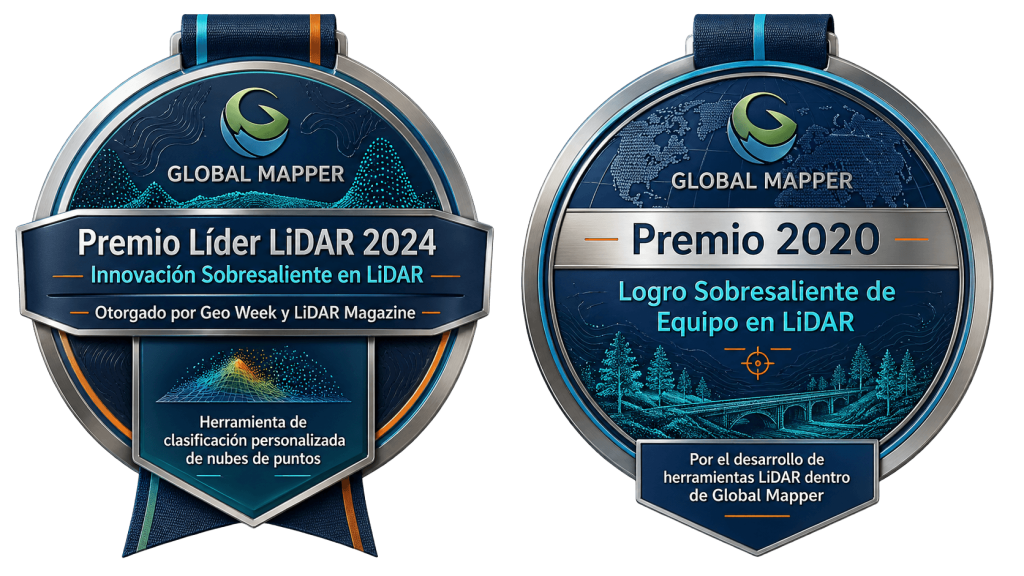
Won the 2024 Lidar Leader: Outstanding Innovation in Lidar Award, awarded by Geo Week and LiDAR Magazine, for its custom point cloud classification tool. It also received the 2020 Outstanding Team Achievement in Lidar Award for the development of LiDAR tools within Global Mapper.
Do you have questions?

Do you have questions?

Global Mapper Pro is an advanced geospatial software for working with GIS data, LiDAR, point clouds, elevation models, imagery, contour lines, and cartographic layers. It is a very useful solution for topography, mining, forestry, engineering, infrastructure, environment, and territorial analysis.
Global Mapper Pro incorporates advanced tools for working with point clouds and LiDAR data, including classification, analysis, and information extraction. It is ideal for users who need to go beyond map visualization and require more comprehensive geospatial processing.
Yes. Global Mapper Pro allows working with point clouds from different sources, including LiDAR, laser scanner, or photogrammetry. With these tools you can analyze elevations, classify points, generate terrain models, create contour lines, and prepare information for other technical workflows.
You can generate elevation models, contour lines, terrain analysis, profiles, point cloud classification, maps, geospatial layers, and files compatible with other technical software. It is a very versatile tool for transforming geographic data into clear and usable information.

Yes. All our products include training through the free GoKeep program. Additionally, our support channel is always available to provide you with a quick response to any technical or commercial questions. You can find our WhatsApp contact directly in the footer of our website.

Yes, we sell to customers throughout Chile. Since it is software, the activation code is sent by email along with the certificate, installers, and access to courses.

No, the published prices are net and VAT is added at checkout.

Talk to an advisor

Response in less than 5 minutes.

Unleash their potential

Experts in precision

Discover more solutions by category.

GNSS Systems

Laser Scanner

Cameras

Total Stations

Detection Systems

Levels

Software