
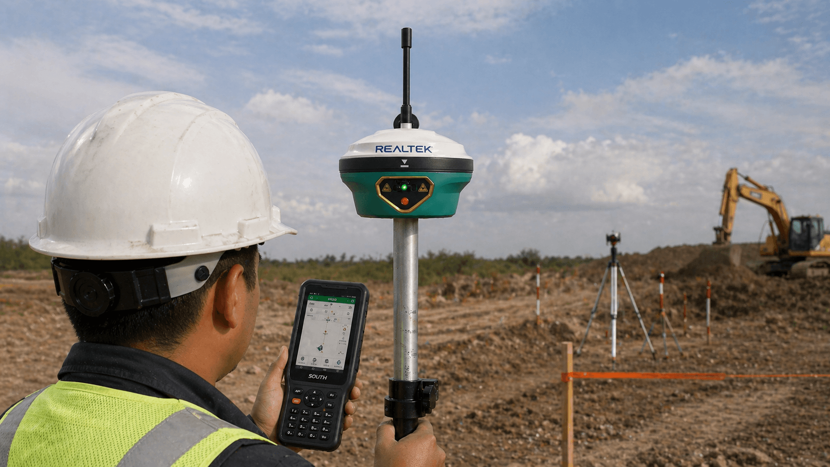
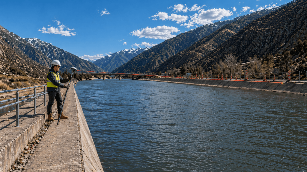
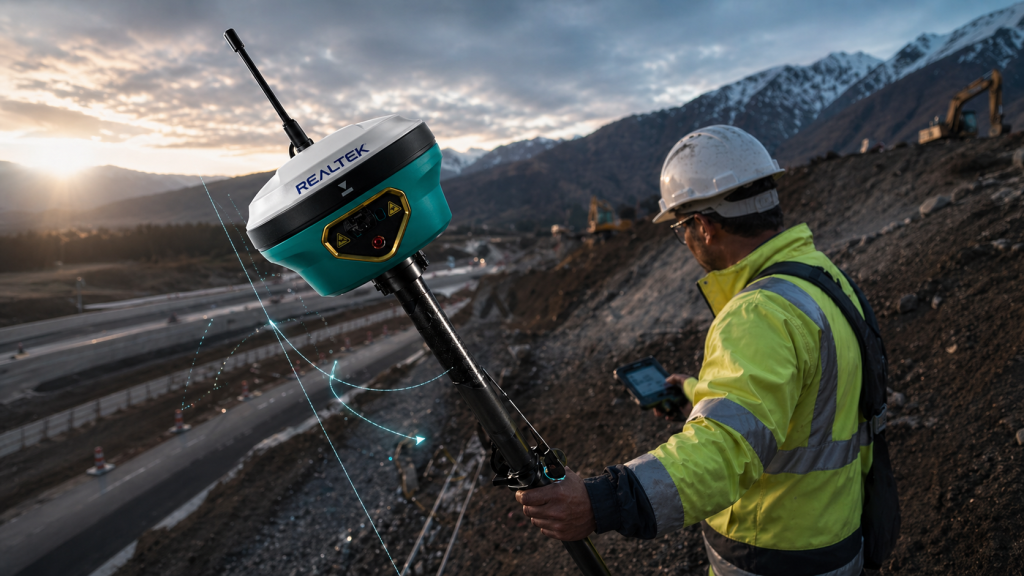
Fast RTK Initialization
Its fast initialization improves work continuity between points and stations.


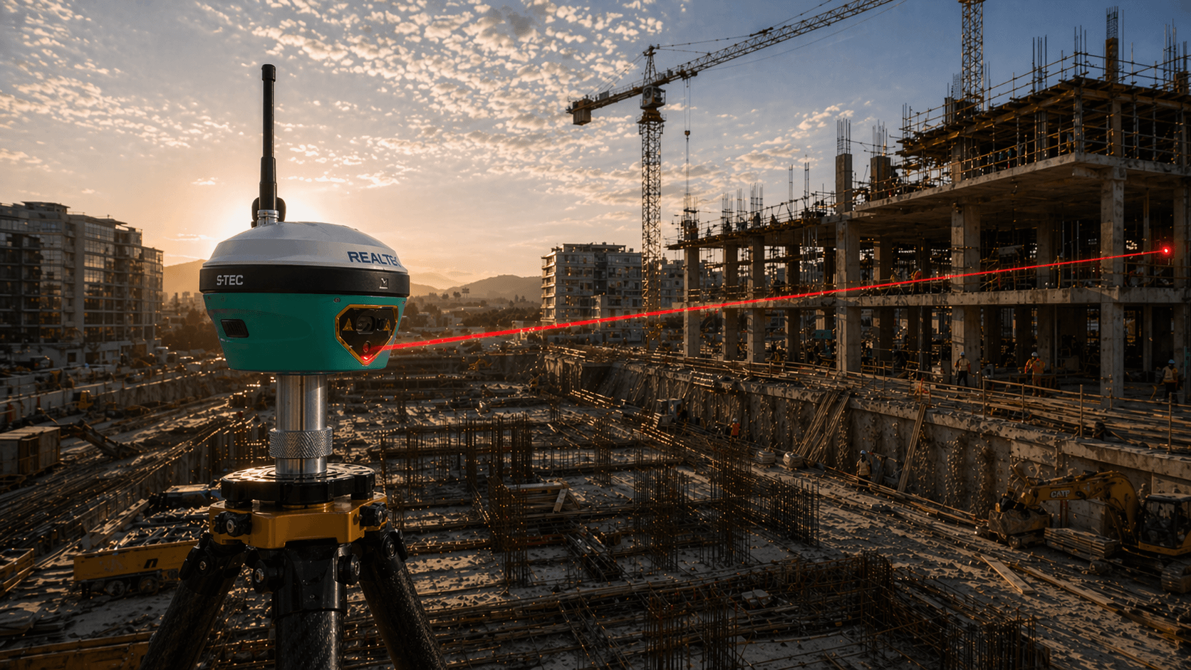
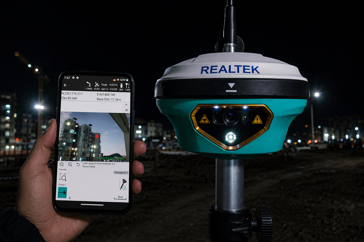

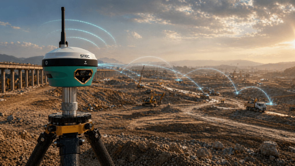
Fast RTK Initialization
Its fast initialization improves work continuity between points and stations.
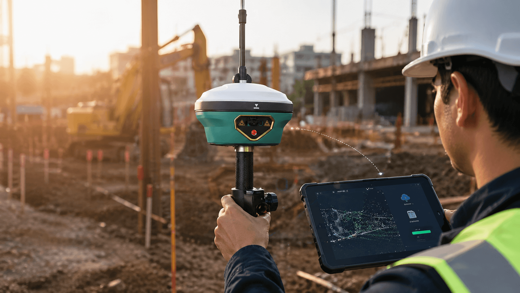
Internal Storage
Includes internal storage to save projects, observations and field files.
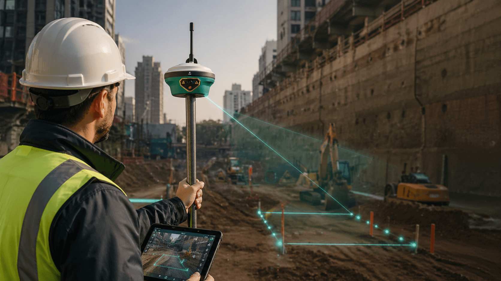
Professional GNSS with Visual Support
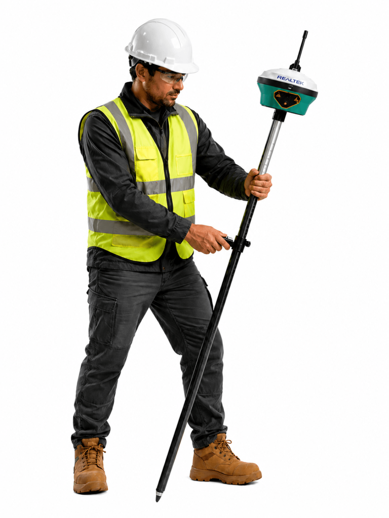
The SDi Pro combines RTK positioning, cameras, and visual functions for staking out and surveying in complex environments.
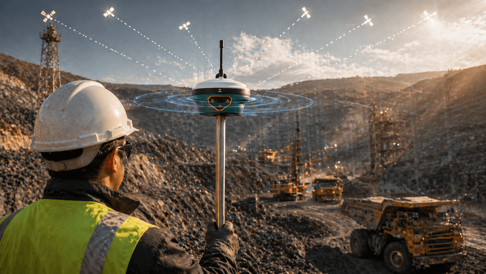
Stable Position
Its design and antenna help improve positioning in environments with interference and complex conditions.
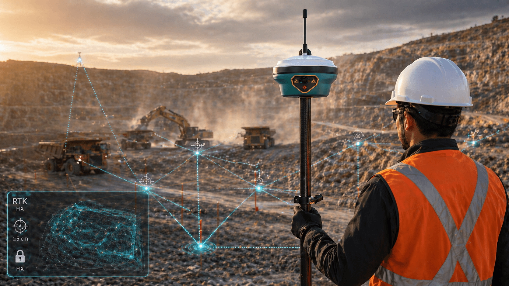
RTK Precision on Site
Delivers RTK precision suitable for point control and surveys on site.
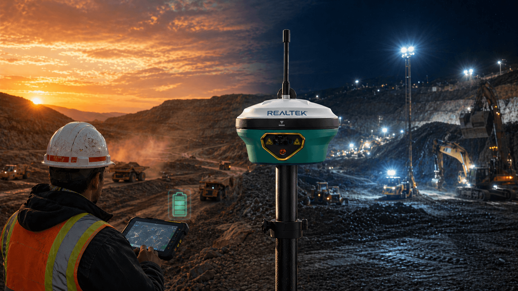
Extended Shifts
The battery life is designed for long workdays in the field.
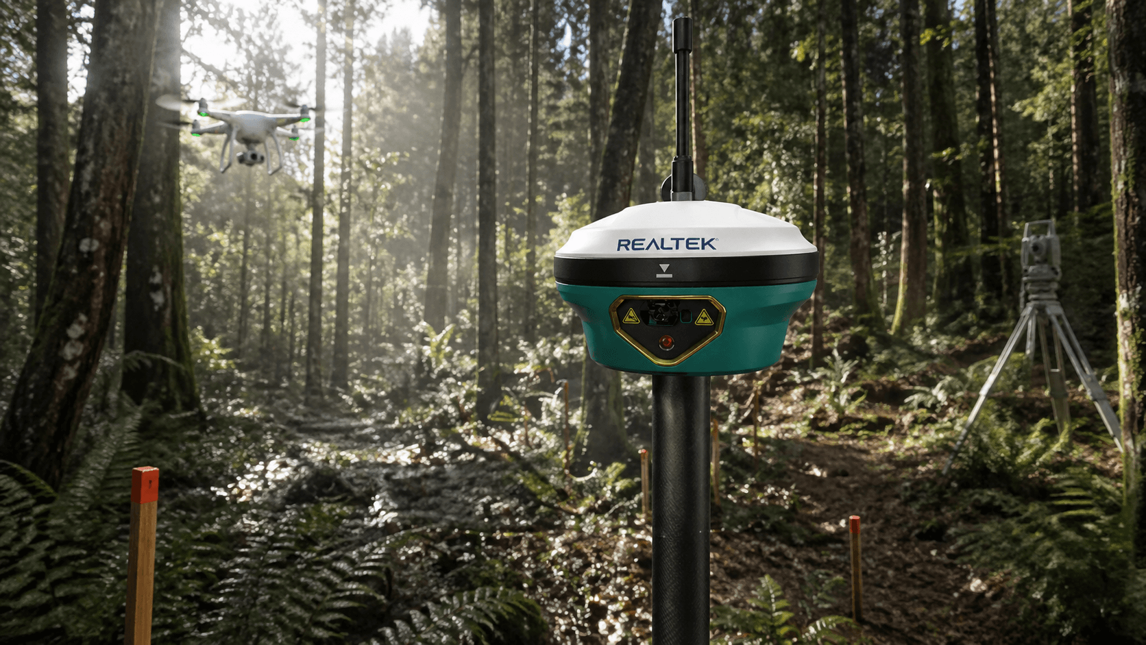
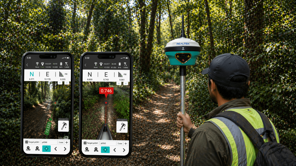
GNSS for Forest Terrain
Supports data capture via drone and/or laser scanner for digital forest surveys. Also enables surveying of boundaries, roads, monuments, and other terrain features.
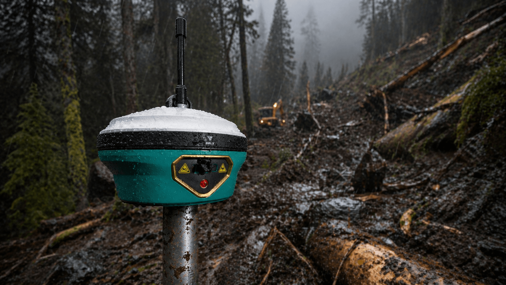
Field Durability
Its IP68 sealing and drop resistance help in demanding terrain environments.
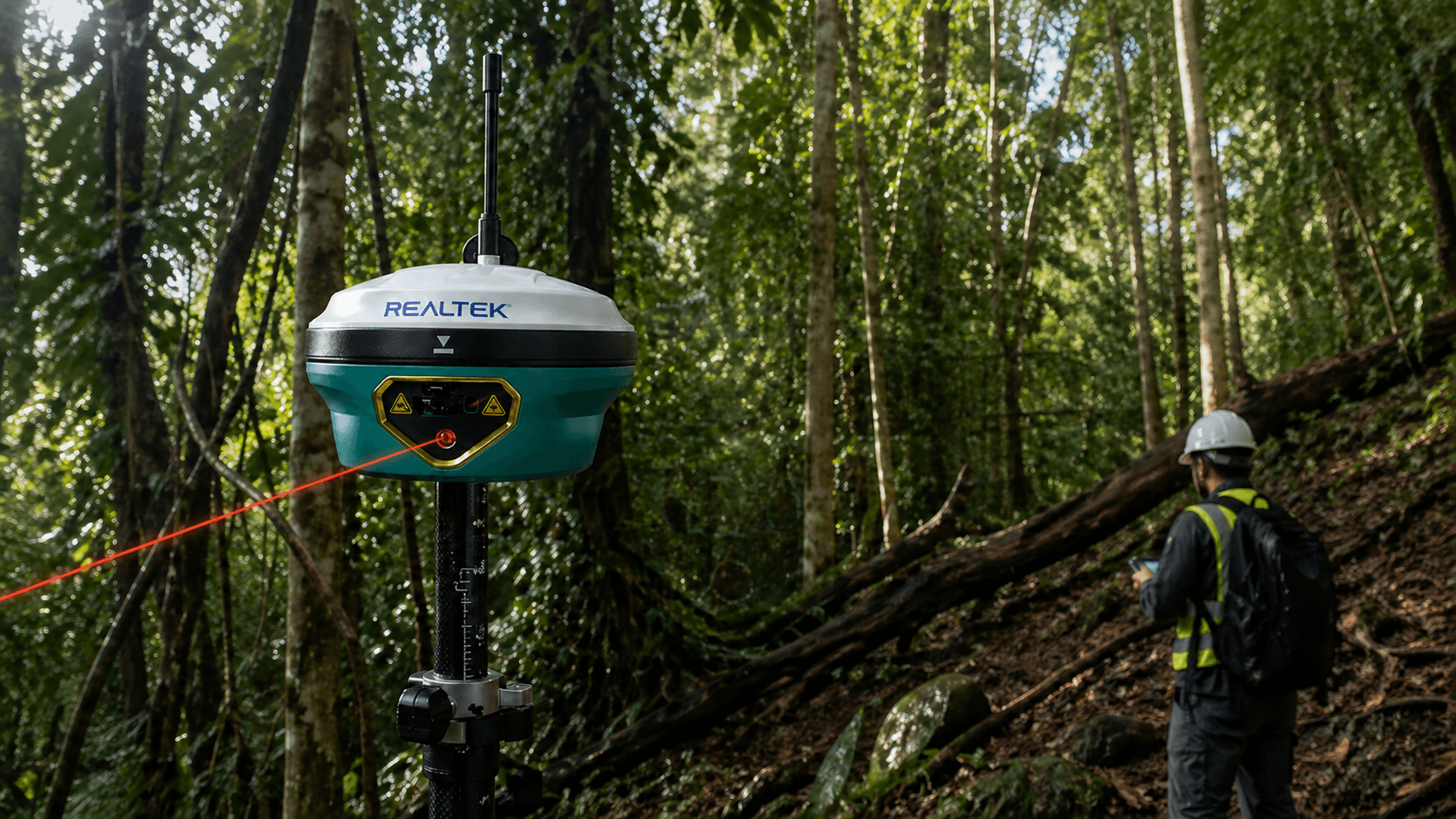
Use of Laser to Capture Hard-to-Reach Points
Thanks to its integrated laser, it allows taking points that are difficult to access
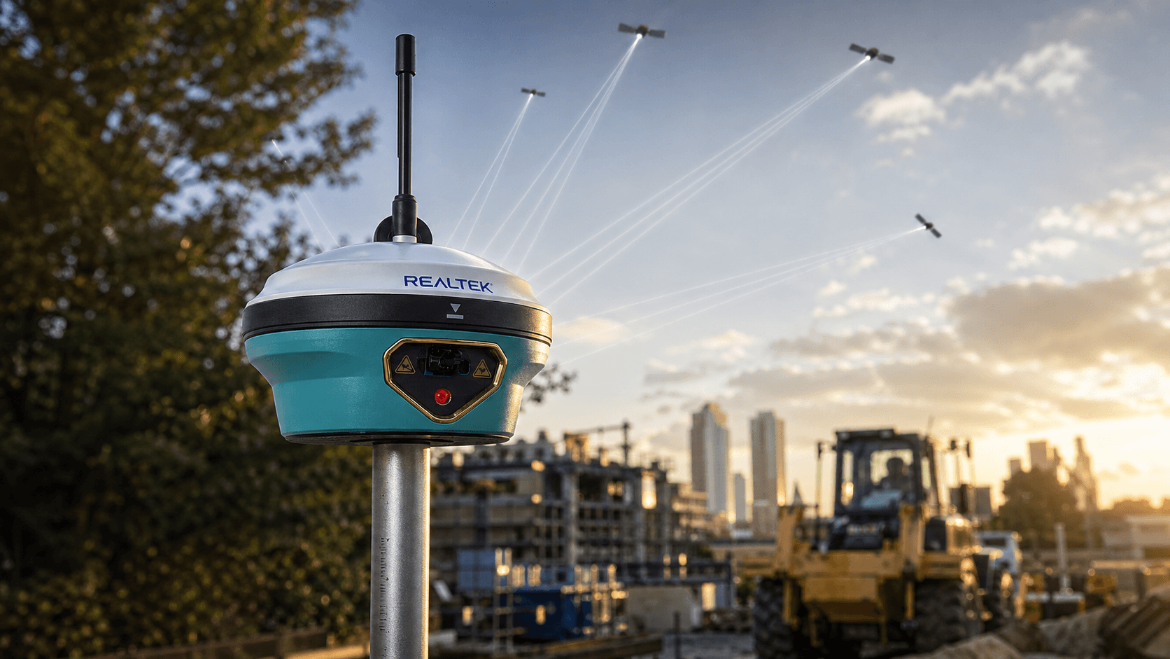
Multi-Constellation Reception
Tracks multiple GNSS constellations to improve availability and stability in RTK surveys.
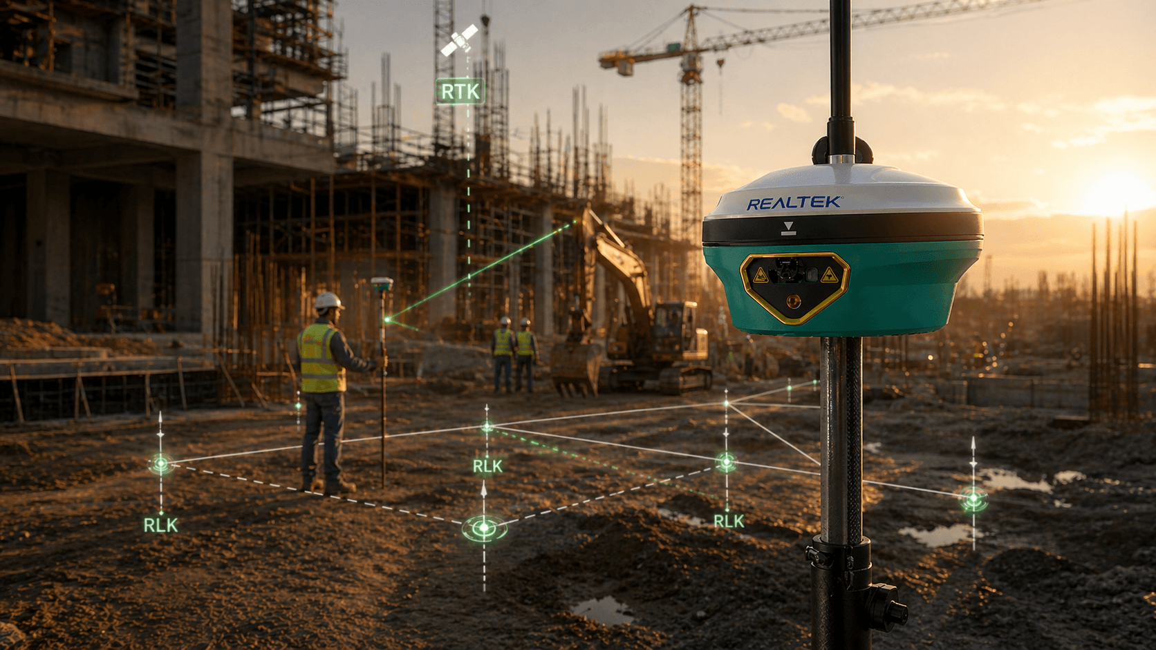
RTK Precision
Offers centimeter-level RTK positioning for staking, control, and surveying on site.
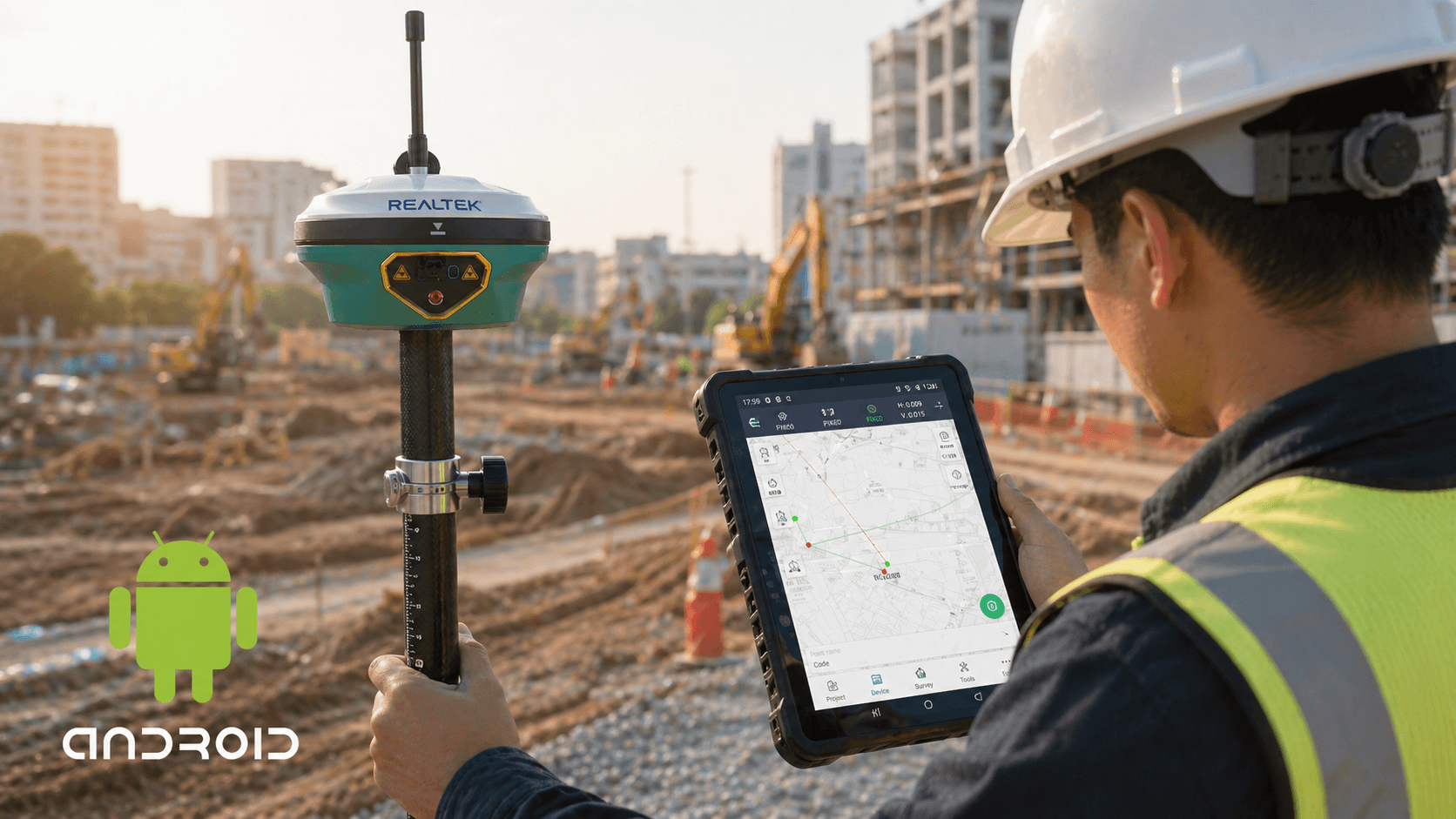
Control with Android
Connects with Android controllers and field software for surveying, staking out, and inspection.
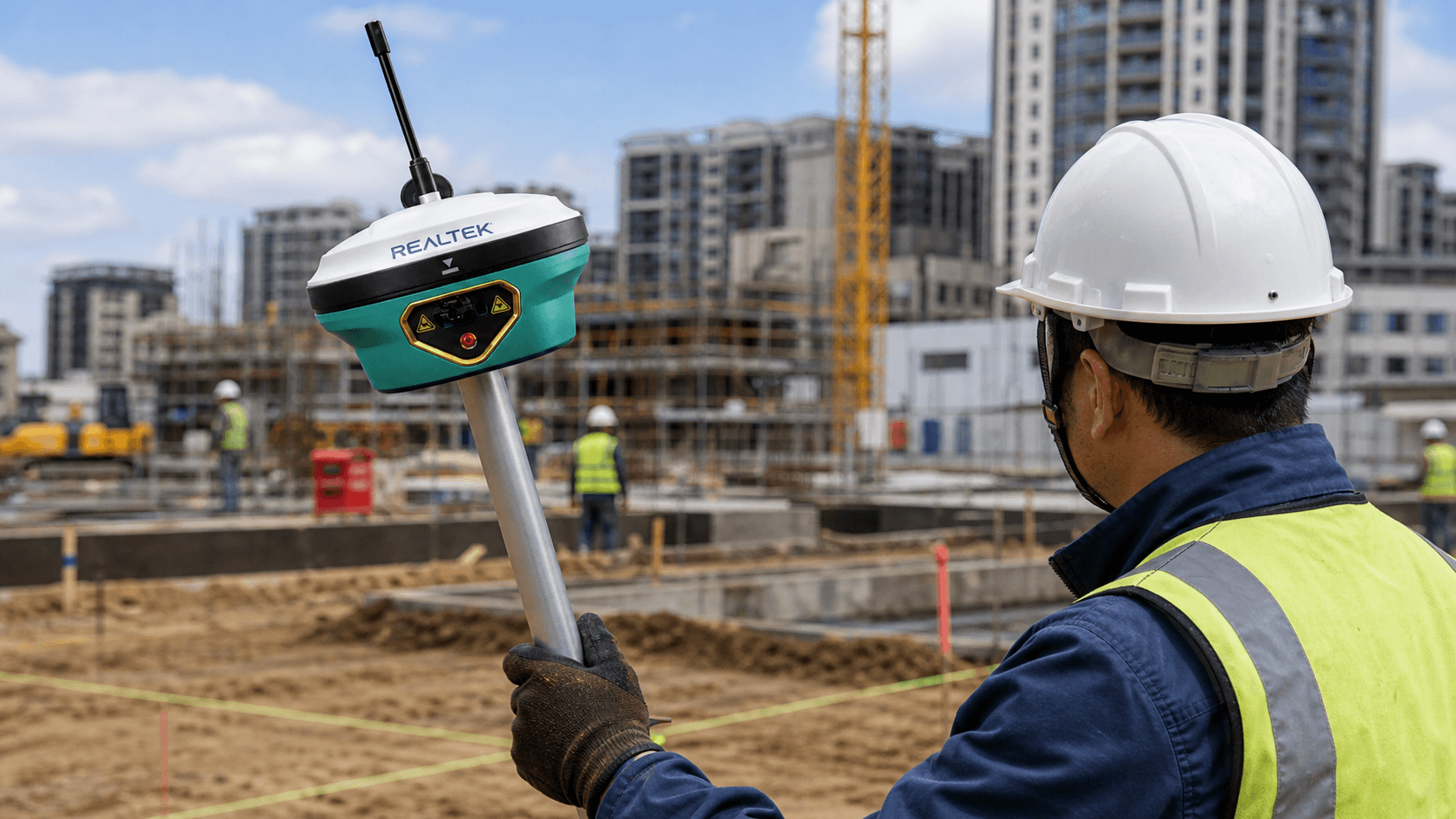
Tilt Compensation
Tilt compensation allows measuring points more quickly without keeping the rod perfectly vertical.
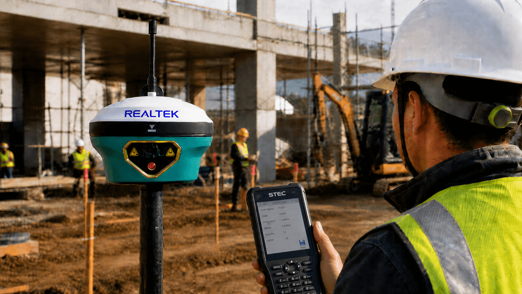
Point Traceability
It has internal storage to record observations and work files.
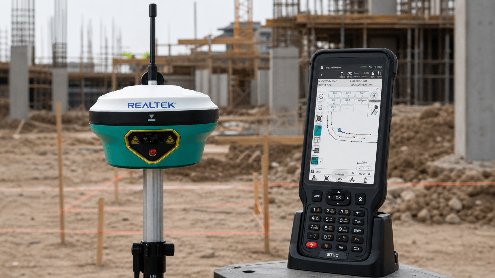
Field Software Suitable for Construction
FieldMaster allows importing CAD files with the project plans for precise staking
“Excellent equipment, very reliable measurements, spectacular laser distance meter”
Osvaldo Pinto – TAB Plus

IMU for tilt
2 cm within 60°
IP68; water and dust
+ 2 m drop
3.6V, 13,600mAh
20 h static / 15 h rover

Predefined codes

Survey and calculation
CAD as background
CAD visible and editable
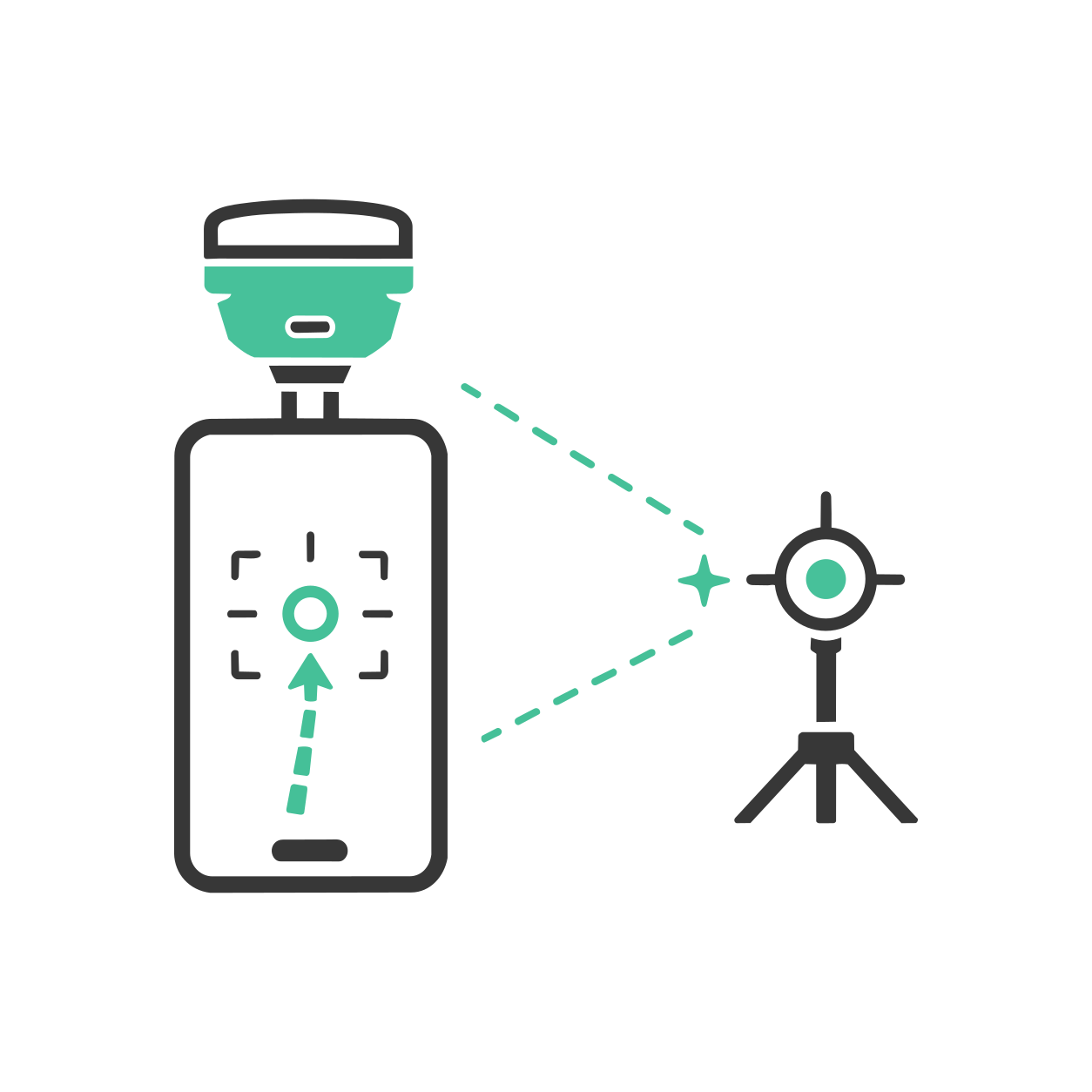
AR stakeout with SV1
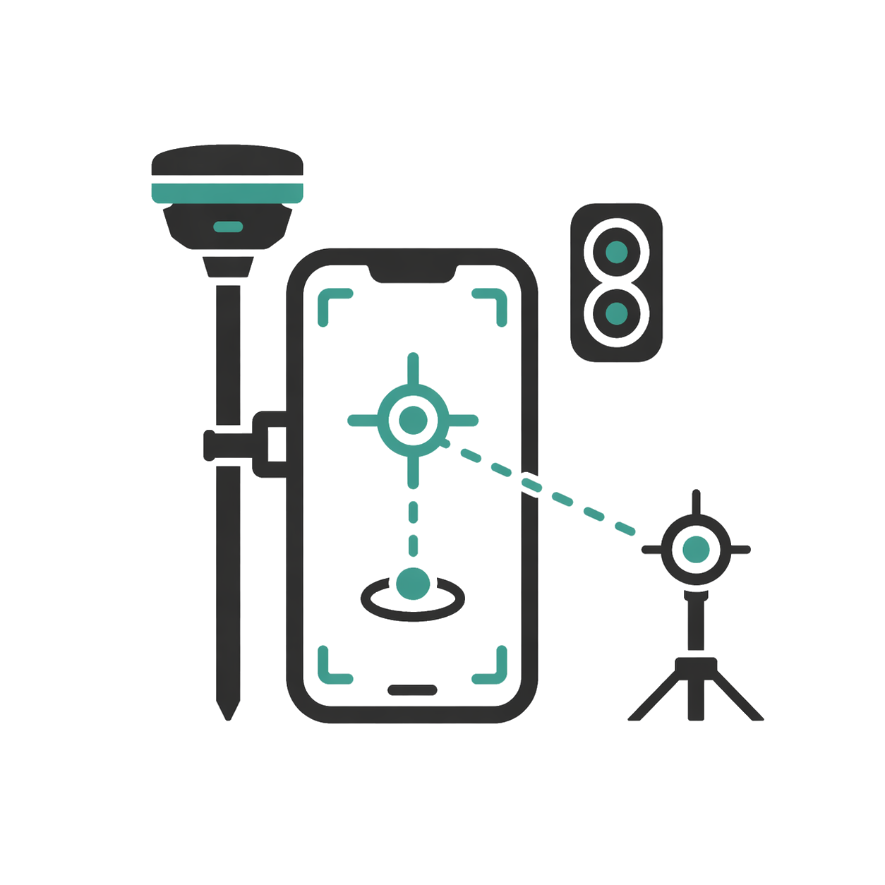
AR stakeout with SDi

Real-time results
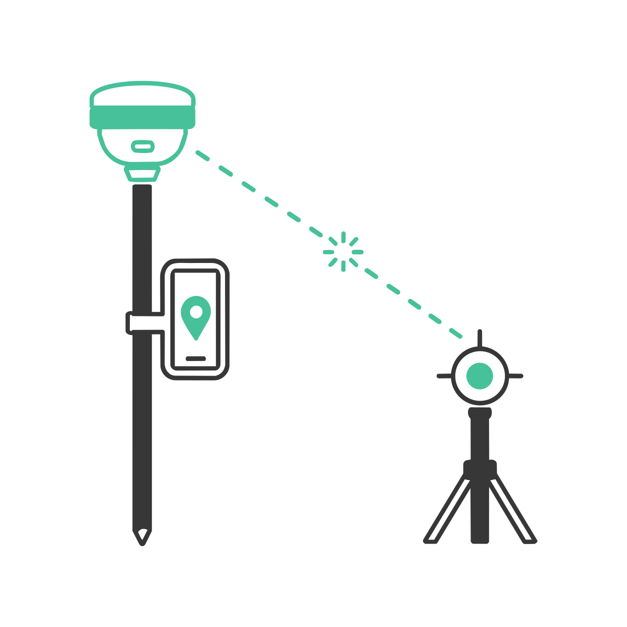
Laser measurement with SDi
Read contents list
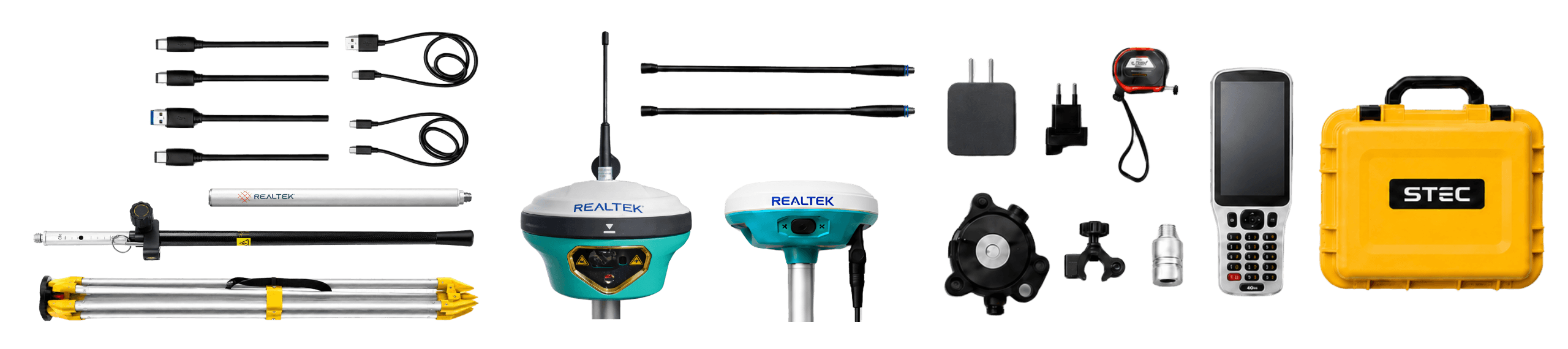
- 1 GNSS SDi PRO Mobile
- 1 SV1 GNSS Base
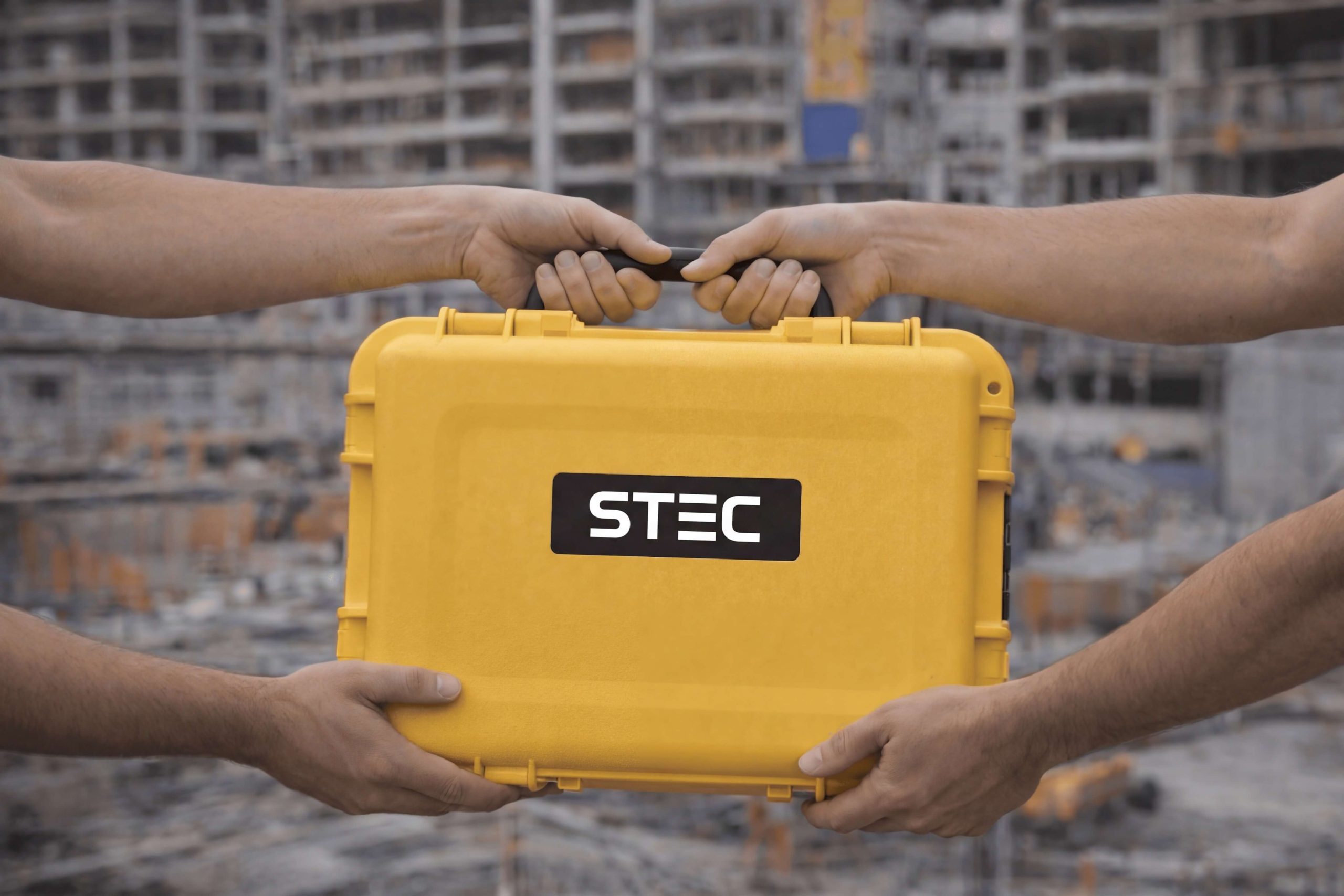
- 1 Transport case
- 1 2.5 m carbon fiber pull
- 1 Aluminum tripod
- 1 SPOD controller
- 2 Radio antennas
- 1 Controller bracket
- 1 Leveling base with GNSS Support
- 1 30 cm mini pull
- 3 Type C chargers
- 3 Type C cables
- 1 Field Master field software
- 1 Geomaster post-processing software (6-month license)
- 3 Years of warranty

Product warranty
Access to product training course
Exclusive Level 1 discounts
Direct training with our support team
Included in your purchase 12 months

In-person and online training
Factory and Realtek warranty
Official warranty and local Realtek support: diagnosis, coordination, and follow-up to get you back up and running quickly.
Yes. All our products include training through the free GoKeep program. Additionally, our support channel is always available to provide you with a quick response to any technical or commercial questions. You can find our WhatsApp contact directly in the footer of our website.
Yes, we ship to different regions of the country. The cost and delivery time may vary depending on the municipality or region of destination.
No, the published prices are net and VAT is added at checkout.