LiDAR Processing
simple, fast and visual

Transform LiDAR captures into point clouds, 3D models and technical deliverables, simplifying terrain processing and analysis.

FJD Trion Model

Advanced 3D capture and modeling on site
Convert field surveys into accurate, usable 3D information, facilitating the creation of technical models for project review, documentation and analysis.
Near-instant results
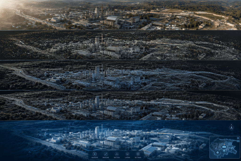
Enables rapid transition from field capture to an initial view of the environment, speeding up data review and early decision-making.
Centralized and efficient 3D processing
Bring together data processing, organization and georeferencing in a single platform, optimizing the workflow from survey to final result.
Advanced environment visualization
Generates clear and realistic digital representations of the captured space, integrating point clouds, georeferenced models, and technologies such as Gaussian Splatting.

From scan to 3D model,
frictionless

Unlimited features

Comprehensive cloud workflow

Define a complete LiDAR processing workflow to ensure quality, accuracy, and consistent deliverables.

Diverse data sources

Integrates different data sources to simplify import and analysis within a single platform.

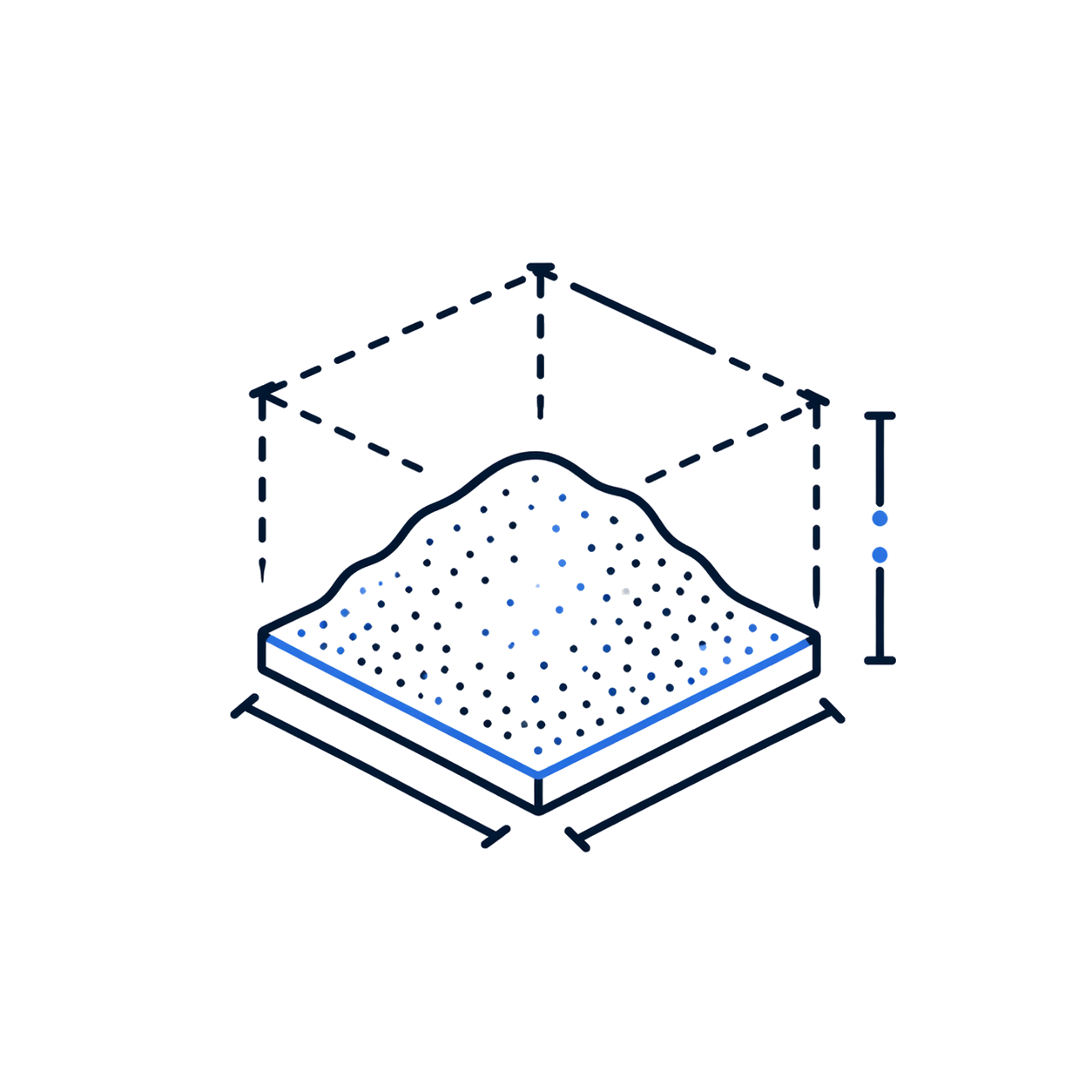
Volume calculation

Calculates volumes of stockpiles and enclosed spaces, useful in aggregates, mining, construction, and logistics.

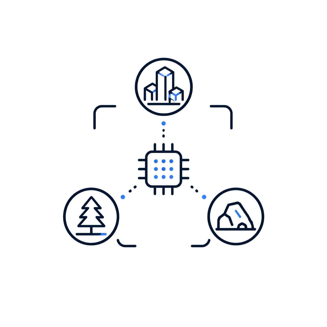
Automatic classification

Automatically classifies buildings, trees, and geological features for urban, forestry, or mining uses.

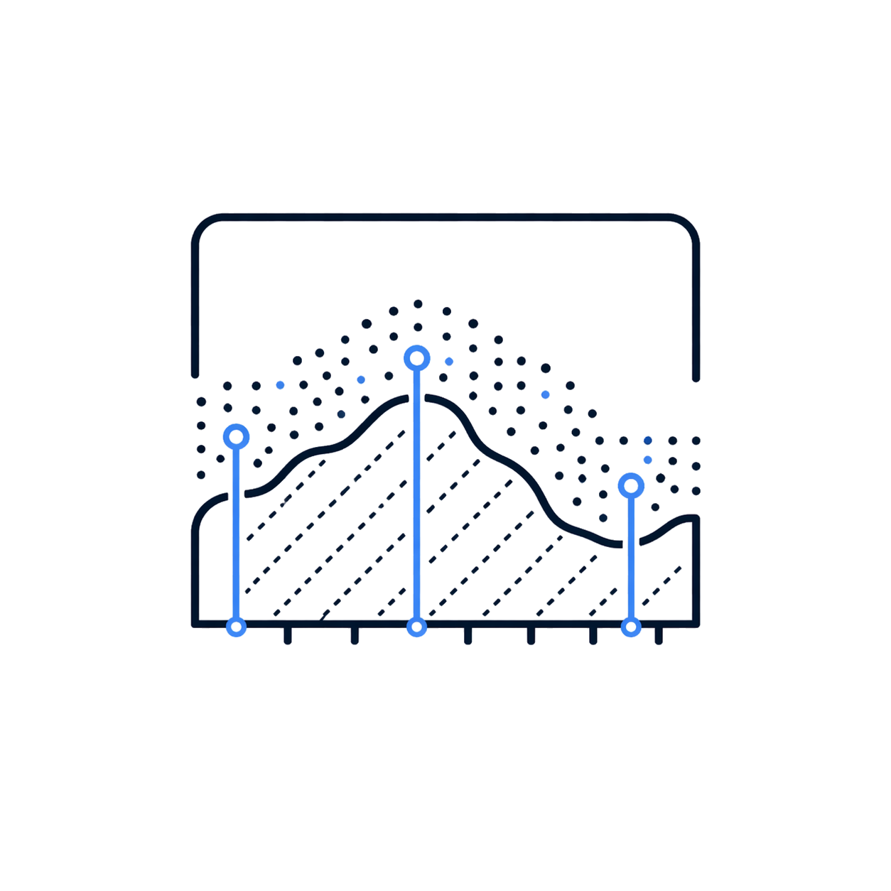
Profile Analysis

Allows measuring and displaying multiple profiles to assess point cloud quality and geometry.

On-site processing

It is available on iPadOS and Android to process, review, and share results directly on site.

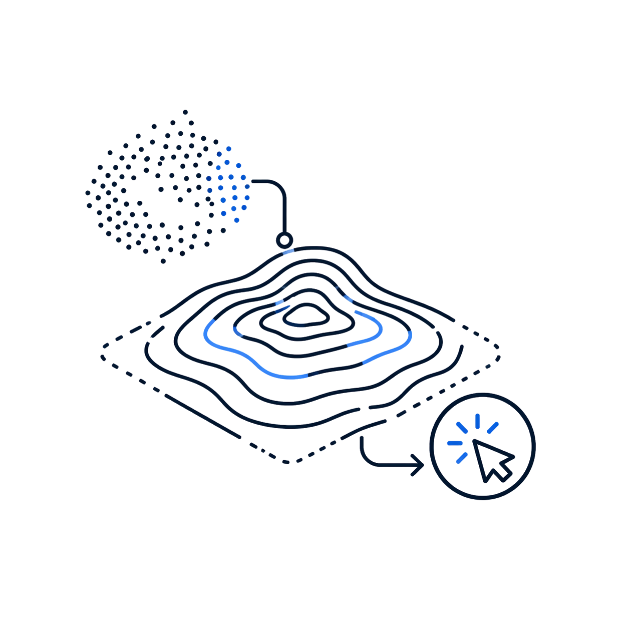
Automatic contour lines

Extracts vector contour lines from the cloud with one click for topography and planning.

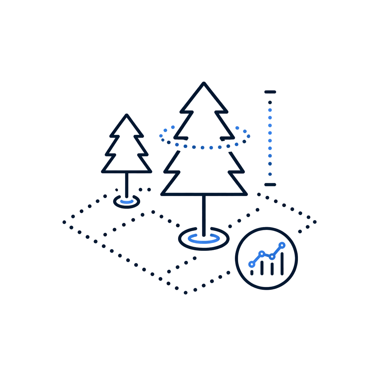
Forest parameters

Edit segmentation and extract location, height, and crown of trees for forestry reports.

Minimum requirements

Operating system

Win 8+ x64

CPU

i5-2300 3.10 GHz or eq.

RAM

8 GB

GPU

Intel Graphics 630

+200 functions that will make your work much easier.

Leader and recognized
worldwide

Recognized within the FJD Trion ecosystem for converting LiDAR captures into models, analysis, and technical deliverables in a simple and connected way.

Over 200 satisfied customers.

It is not a coincidence.

Do you have questions?

Do you have questions?

FJD Trion Model is software for processing, visualizing, analyzing, and managing point clouds captured in the field. It allows working with 3D data to generate useful information for topography, forestry, infrastructure, inspection, technical documentation, and surveys using LiDAR technology.
You can visualize point clouds, analyze 3D information, work with contour lines, review captures, segment elements, generate deliverables, and support project documentation. It also includes functions for specific applications, such as forestry analysis and advanced model visualization.
Yes. FJD Trion Model includes tools for forestry applications, such as analysis of trees, heights, location, and vegetation-related parameters, depending on the capture and project configuration. This allows using 3D data for management, planning, and study of forest areas.
Yes. The FJD Trion Model ecosystem includes advanced 3D visualization capabilities, including functions related to Gaussian Splatting in its web version. This allows representing captured environments in a more immersive and visual way, although it should not be confused with a parametric CAD/BIM model.

Yes. All our products include training through the free GoKeep program. Additionally, our support channel is always available to provide you with a quick response to any technical or commercial questions. You can find our WhatsApp contact directly in the footer of our website.

Yes, we sell to customers throughout Chile. Since it is software, the activation code is sent by email along with the certificate, installers, and access to courses.

No, the published prices are net and VAT is added at checkout.

Talk to an advisor

Response in less than 5 minutes.

Unleash their potential

Experts in precision

Discover more solutions by category.

GNSS Systems

Laser Scanner

Cameras

Total Stations

Detection Systems

Levels

Software