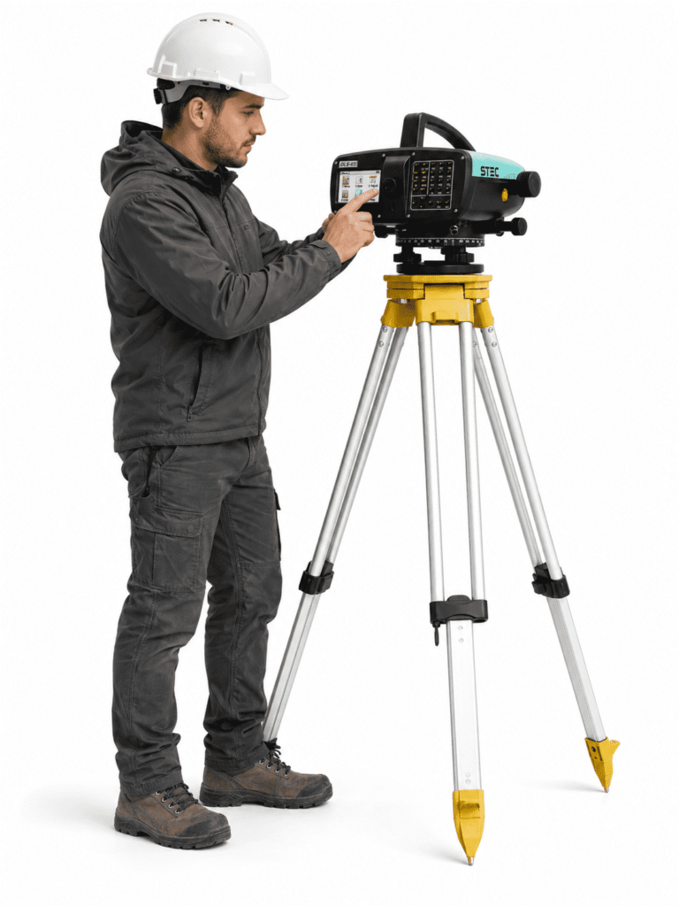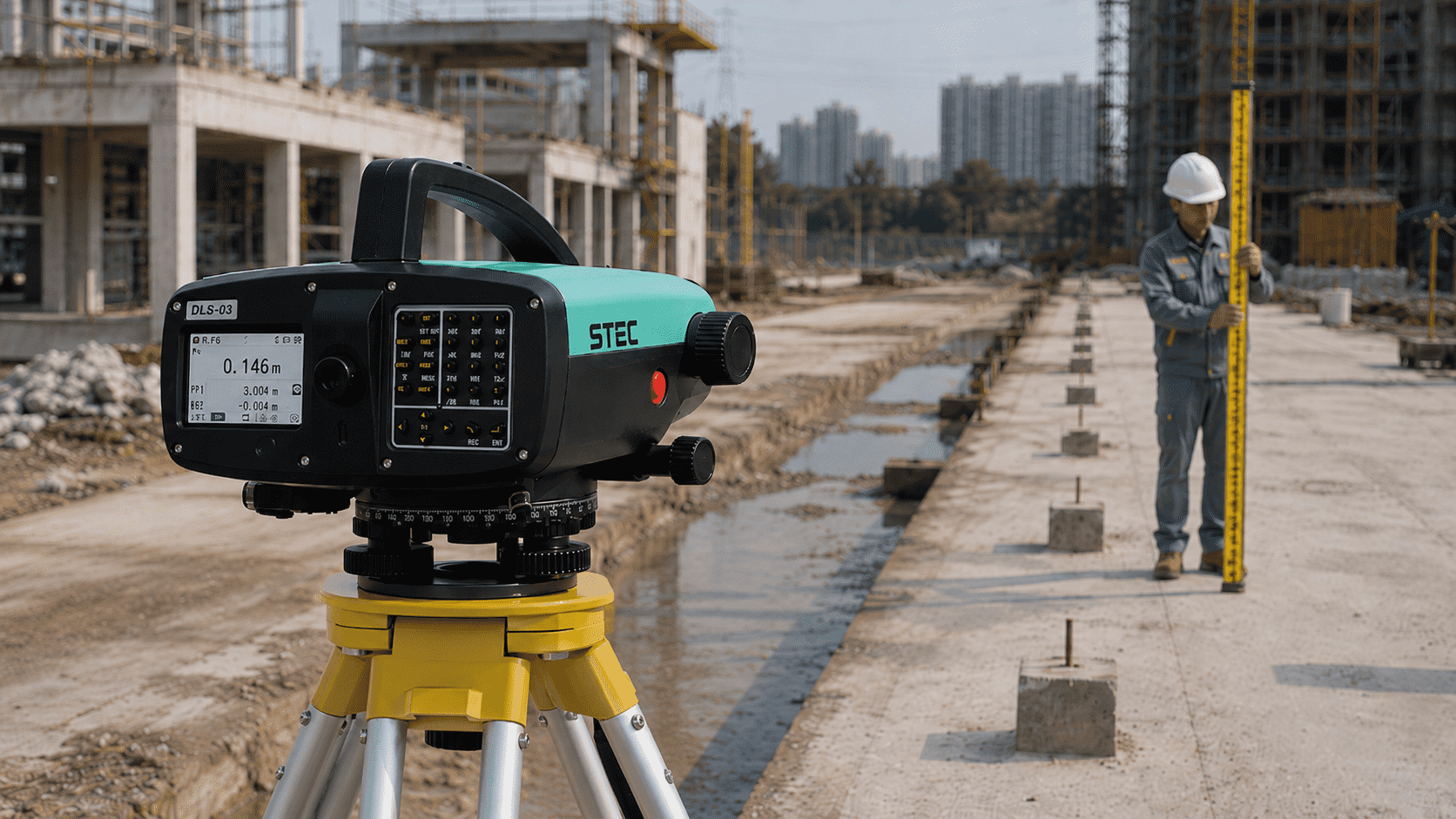
Reduction of Errors in Repetitive Measurements
Its digital system helps reduce manual reading errors, especially during long shifts or jobs that require repeated measurements with high consistency.

Digital Level STEC DLS 03
Get a quote for this product in 2 minutes to make your decision
Rent from a single day onwards

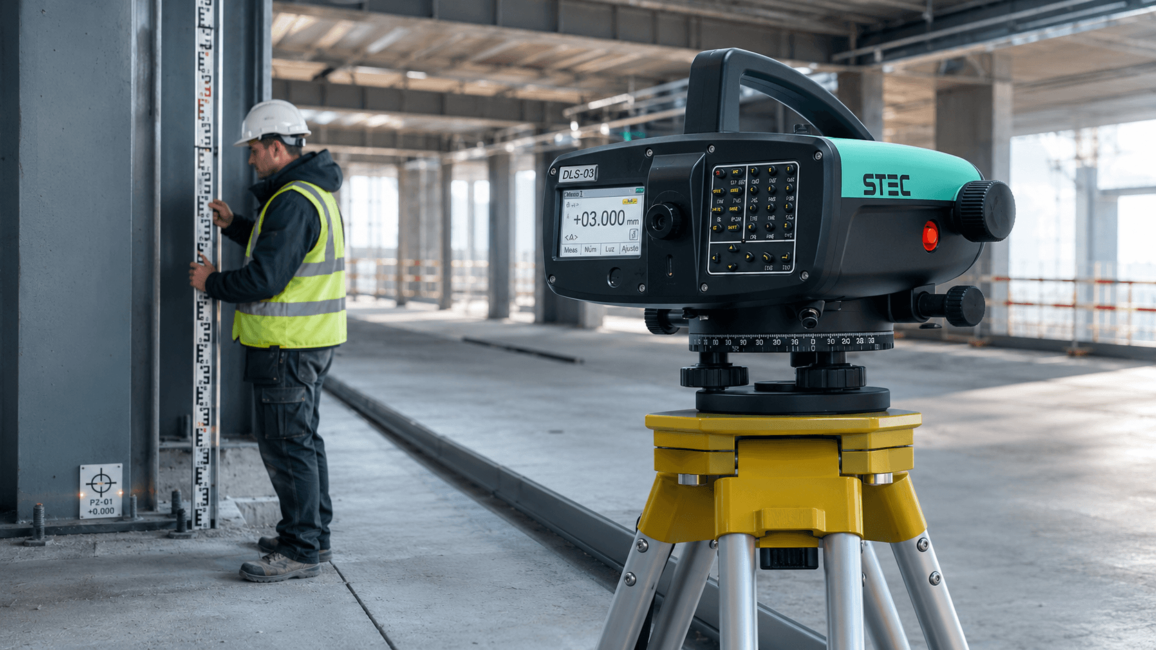
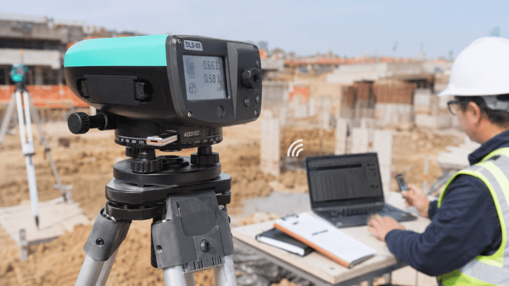
Reduction of Errors in Repetitive Measurements
Its digital system helps reduce manual reading errors, especially during long shifts or jobs that require repeated measurements with high consistency.
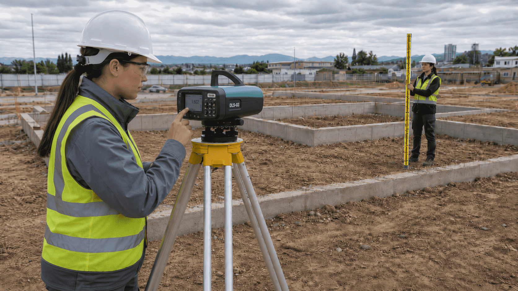
Reliable Altitude Control on Terrain
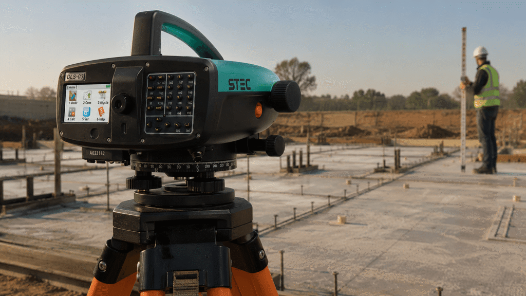
Allows precise leveling to establish elevations, reference points, and height differences, providing greater safety in topographic surveys and stakeouts.
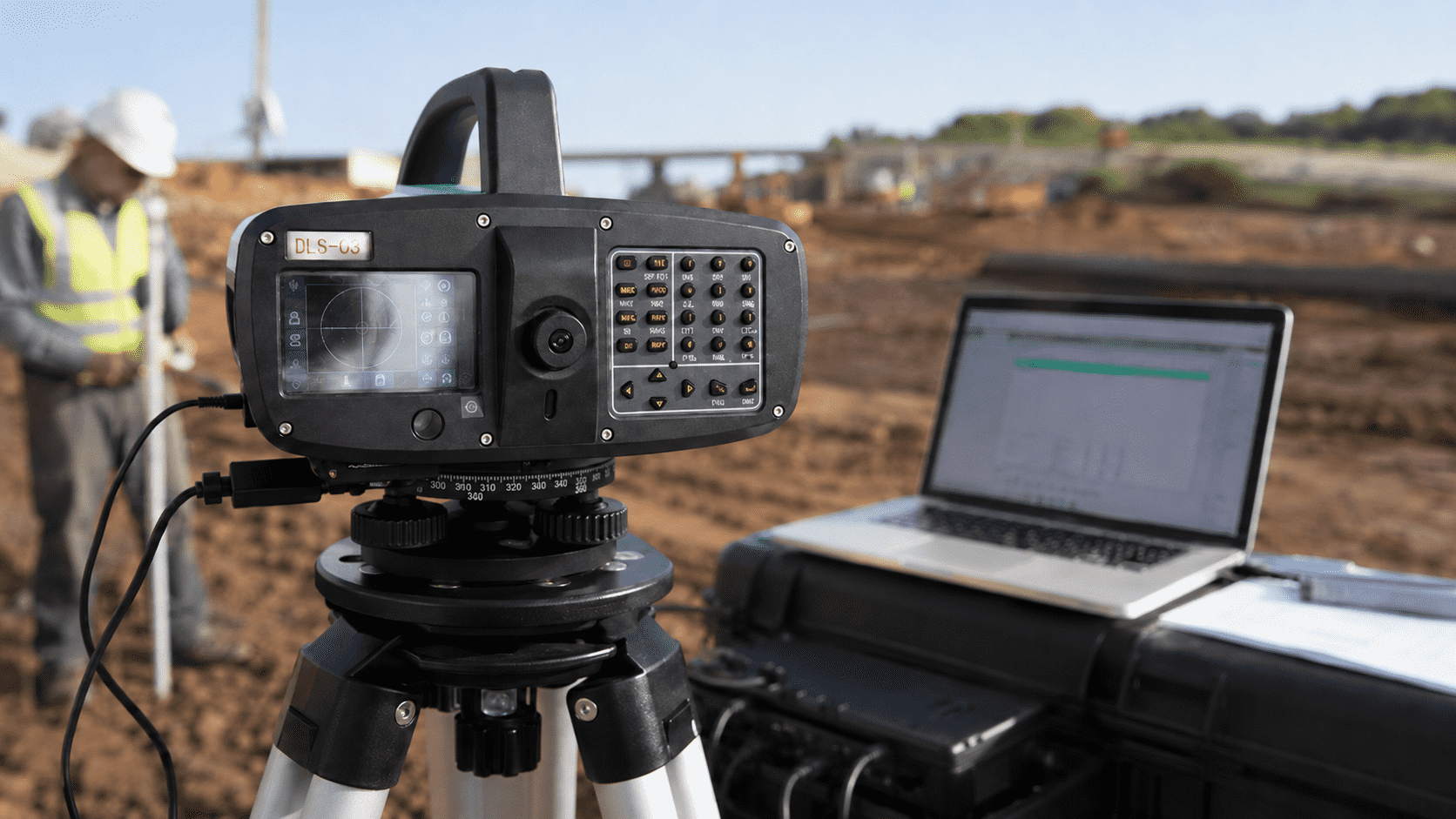
Flexible Data Transfer
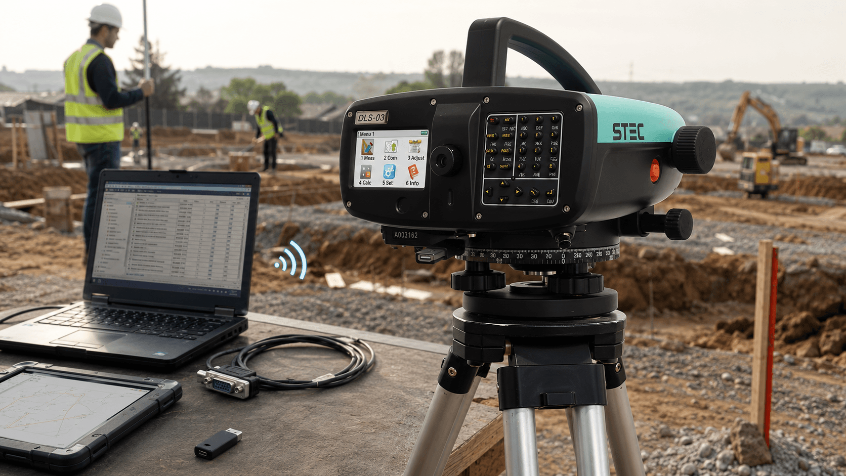
Allows working with Bluetooth, RS232 and USB Flash, facilitating backup and transfer of information from the field.
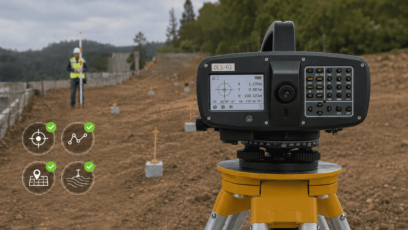
Higher Quality at Control Points and References
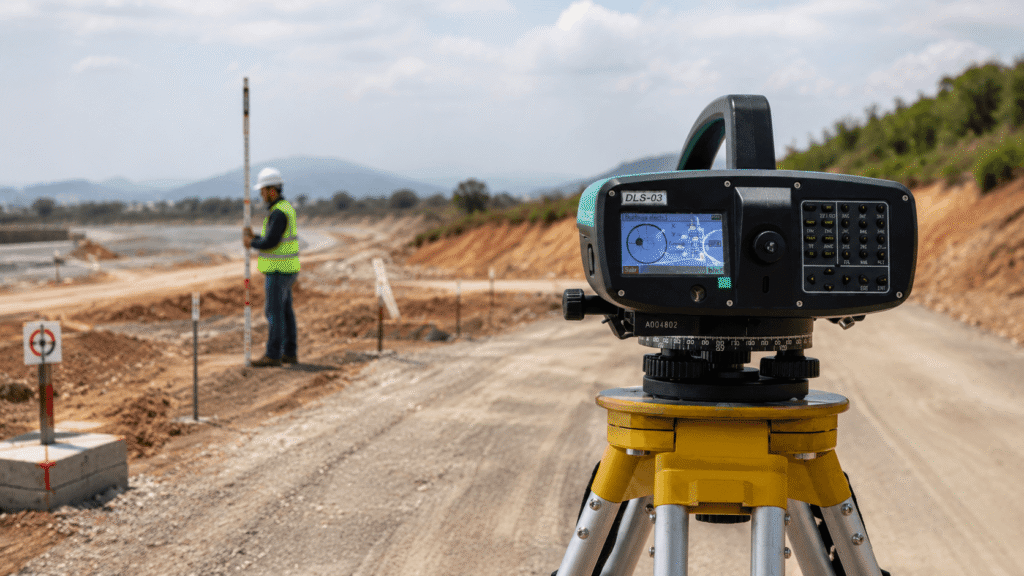
Allows verifying elevations and altimetric references that help improve the accuracy of the base cartography and the consistency of information collected in the field.
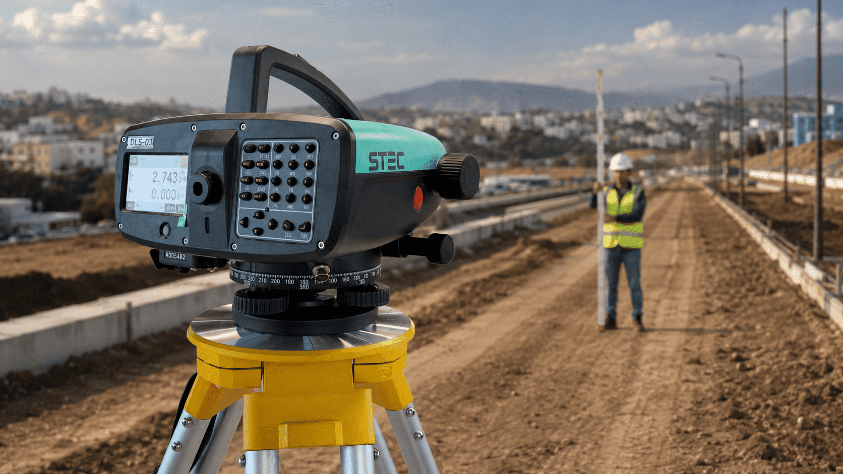
Digital Height Reading
Reduces manual reading errors and facilitates orderly data recording in cartographic fieldwork.
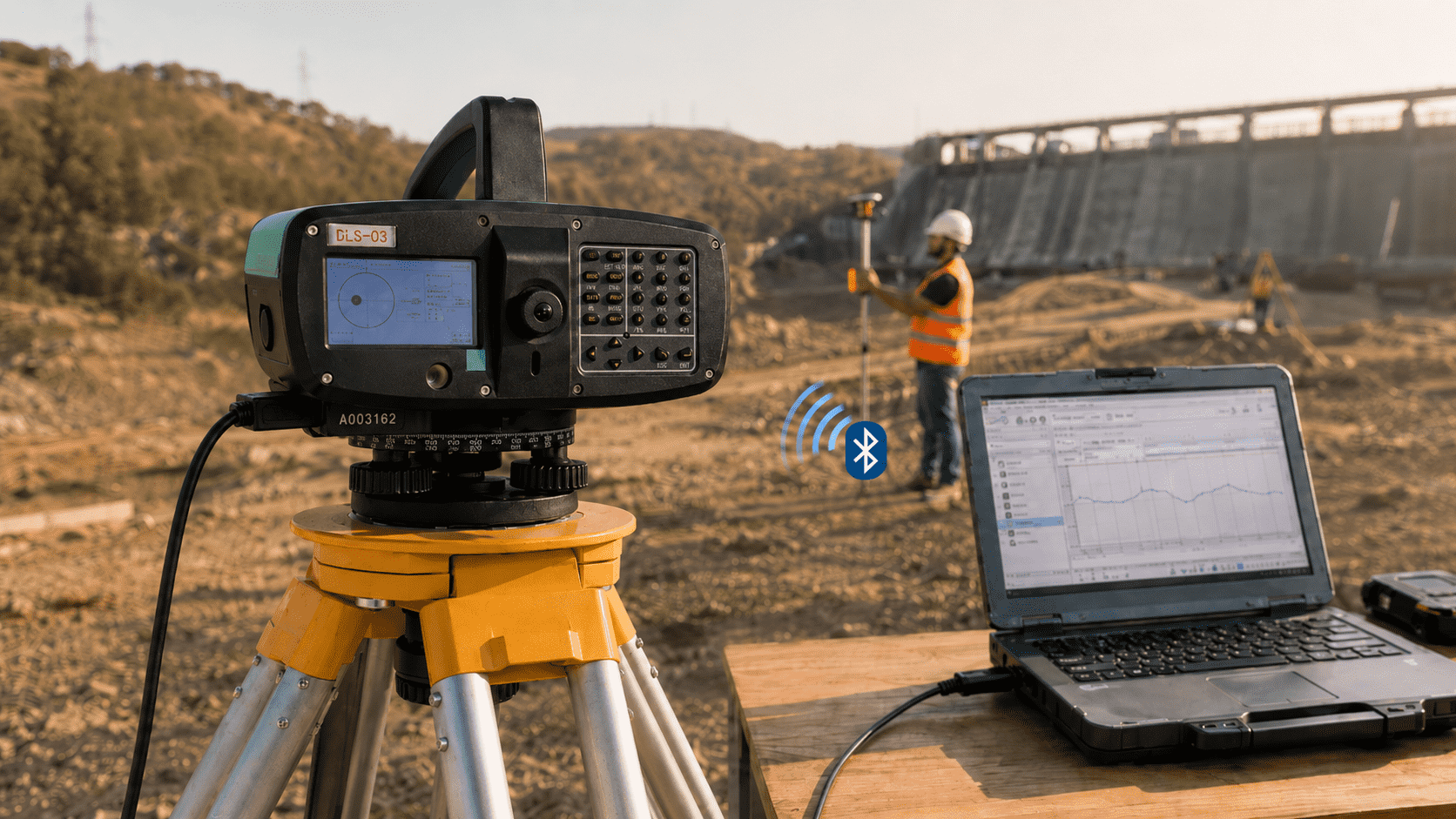
Data Connectivity
Allows transferring information via Bluetooth, RS232 or USB Flash, speeding up backup and subsequent use of measurements.
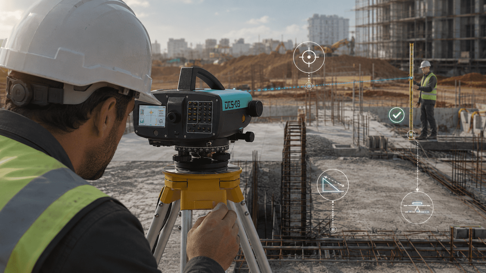
Level Control on Site
Allows checking dimensions, slopes and altimetric references with precision up to 0.3 mm, supporting a more controlled execution.
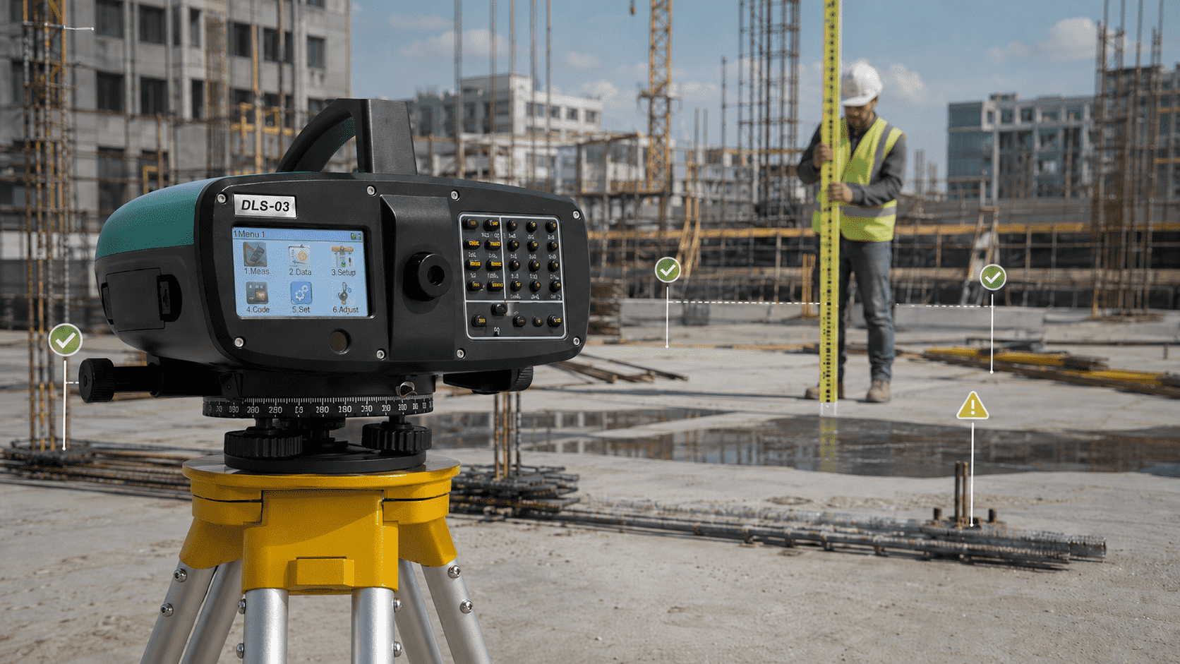
Lower Risk of Rework
By delivering reliable measurements, it allows detecting level differences in time, avoiding errors that could affect the execution, costs, or deadlines of the work.
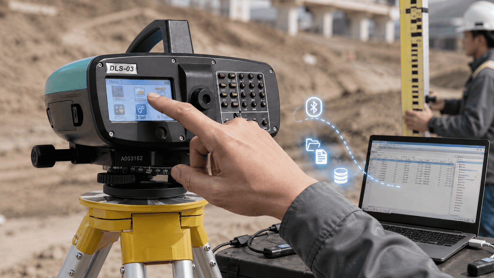
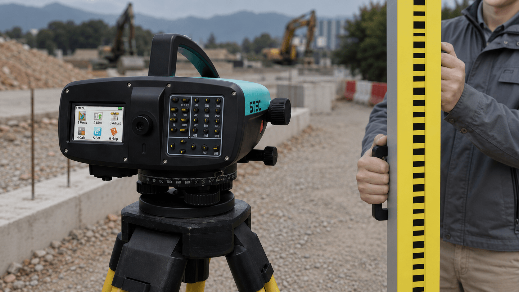
Digital Screen and Record
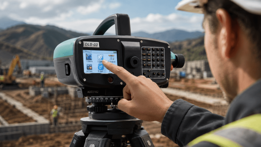
Integrates 3" color touch screen and transfer via Bluetooth, RS232 or USB Flash, facilitating work and data backup.


Predefined codes
Survey and calculation
CAD as background
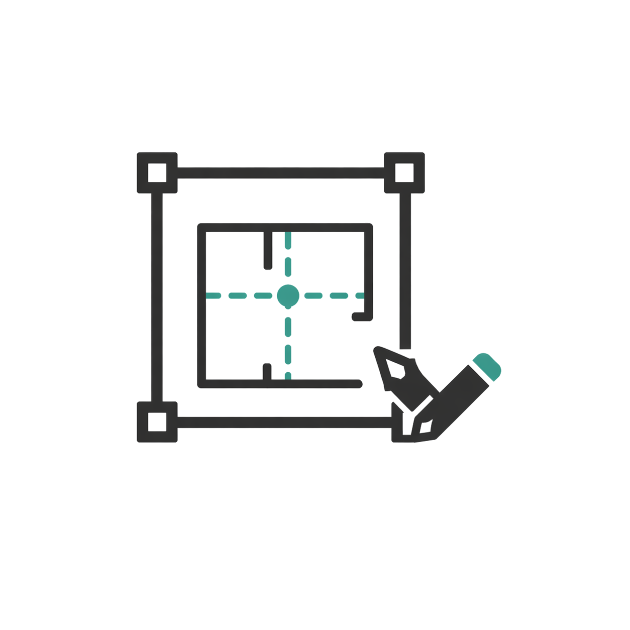
CAD visible and editable
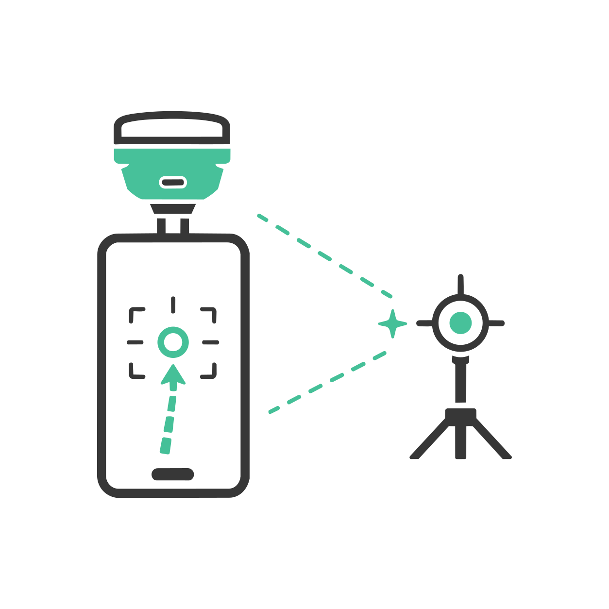
AR stakeout with SV1
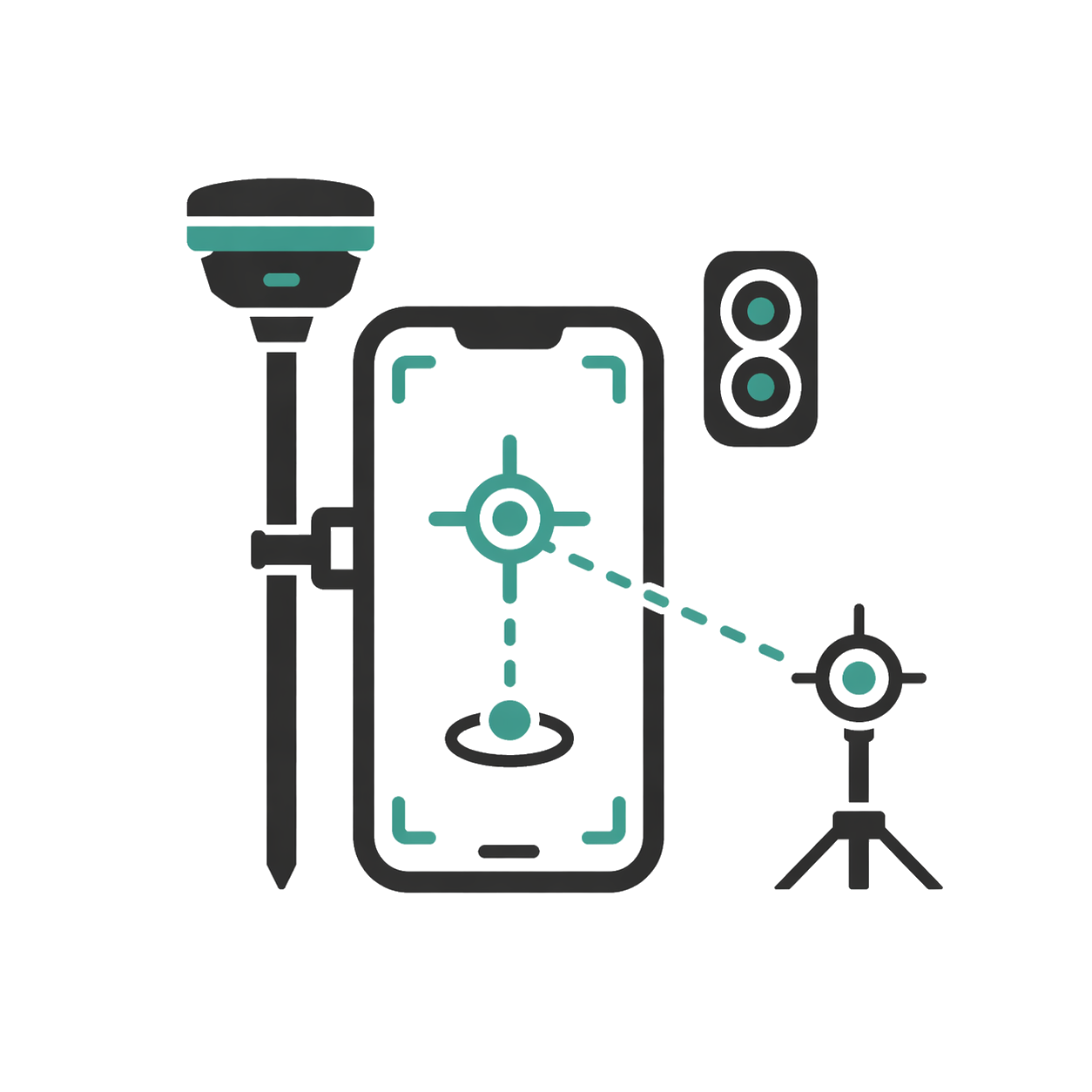
AR stakeout with SDi

Real-time results
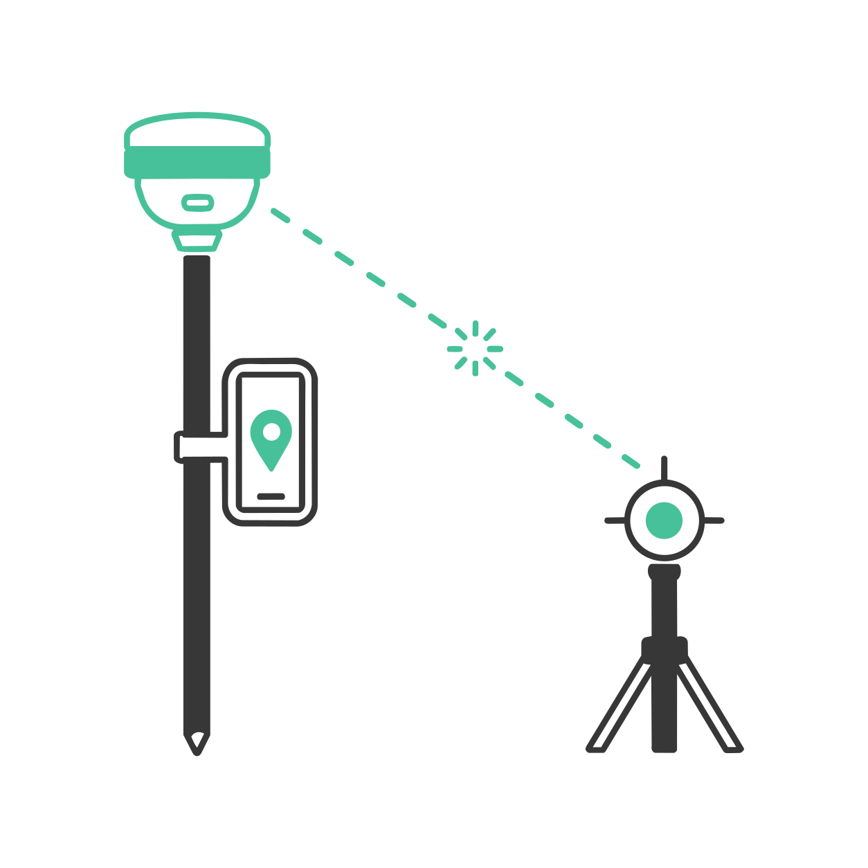
Laser measurement with SDi
Read contents list
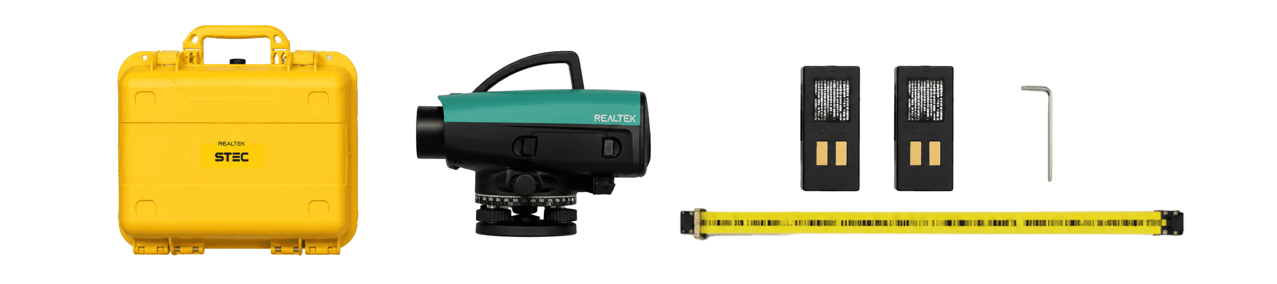
- 1 STEC DLS 03 digital level
- 1 Carrying case
- 1 Lithium-ion battery x2
- 1 Allen key and adjustment pin
- 1 Lens hood
- 1 User manual
- 1 Warranty card

Product warranty
Access to product training course
Exclusive Level 1 discounts
Direct training with our support team
Included in your purchase 12 months

In-person and online training
Factory and Realtek warranty
Official warranty and local Realtek support: diagnosis, coordination, and follow-up to get you back up and running quickly.
Yes. All our products include training through the free GoKeep program. Additionally, our support channel is always available to provide you with a quick response to any technical or commercial questions. You can find our WhatsApp contact directly in the footer of our website.
Yes, we ship to different regions of the country. The cost and delivery time may vary depending on the municipality or region of destination.
No, the published prices are net and VAT is added at checkout.