Processing for
accurate results

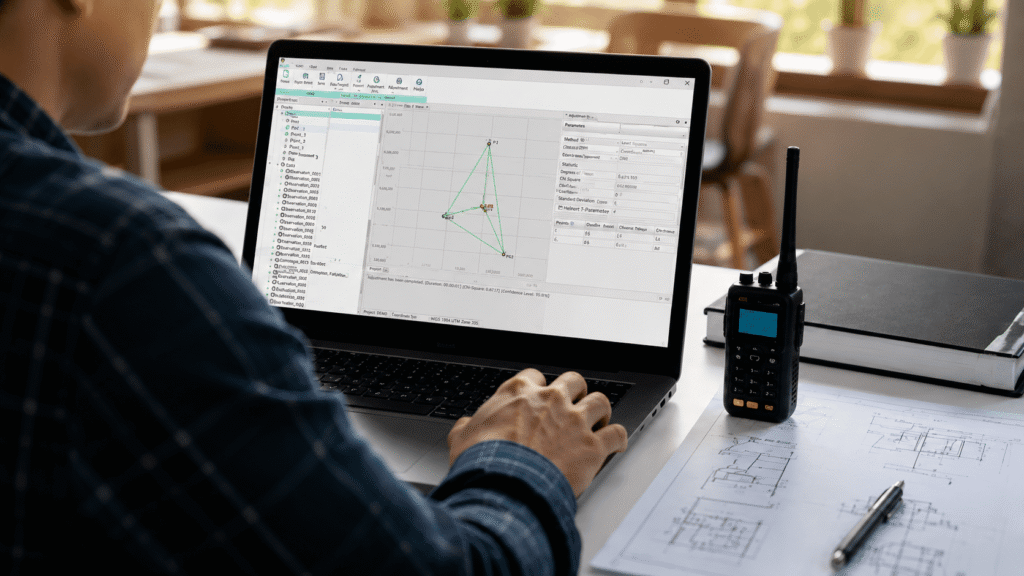
STEC's GeoMaster is a GNSS post-processing software designed to process static data, baselines, networks, and PPK flows with speed, precision, and technical control.

STEC Geomaster

GNSS Post-processing for
precision-demanding jobs

Static processing
Process static data, adjust networks, and generate technical reports to support your GNSS measurements.
A reliable alternative when RTK is not enough
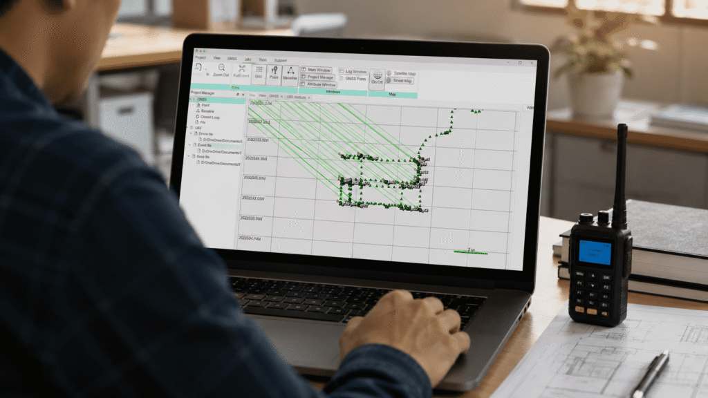
Process PPK data in the office and reduce dependence on real-time connection during fieldwork.
Take your drone flights to precise geospatial results
Integrates UAV and GNSS data to support photogrammetric workflows with greater geospatial accuracy.
Everything you need to optimize your post-processing
Includes RINEX conversion, NGS antenna parameters, ephemeris download, and utilities for GNSS processing.

Process. Adjust. Export. Deliver.

Unlimited features

Management of geoid systems and models

Allows assigning specific coordinate systems (such as UTM) and adding custom geoid models to the project for greater altimetric accuracy


Control of units and decimal precision

Offers full customization of measurement units and allows setting the exact number of decimals to display in coordinates, distances, and angles

Rinex metadata editing

Supports subtly editing data from the loaded file through the software, such as point name, dynamic/static status, and serial number

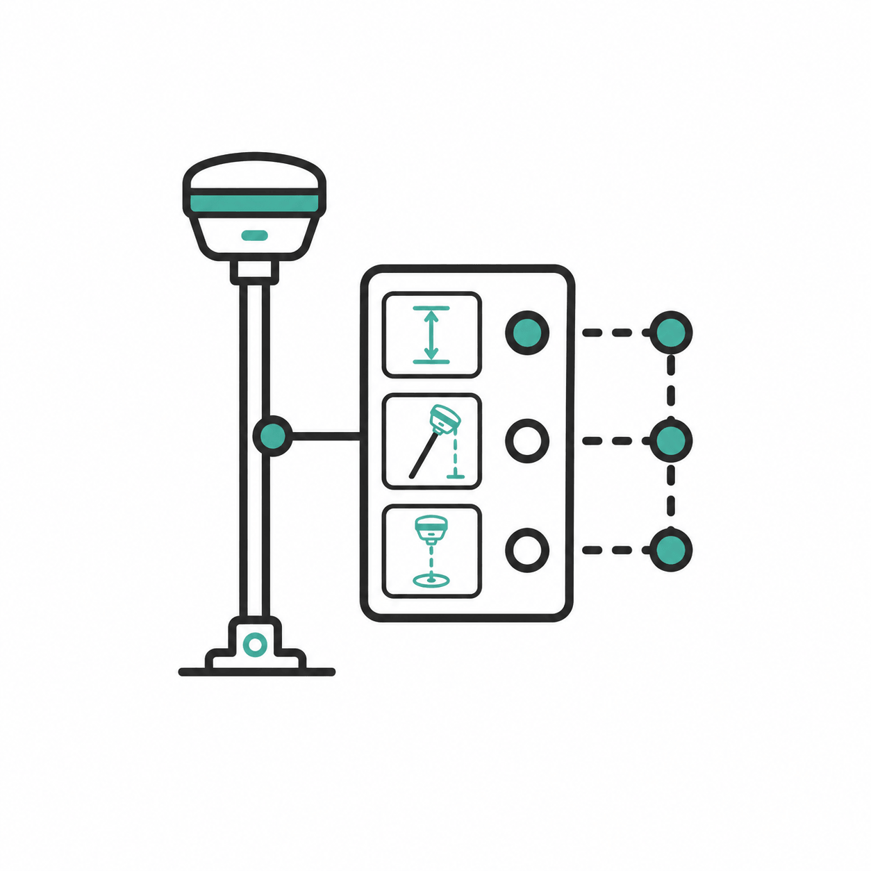
Visual antenna configuration

Features illustrative drawings to visually select the antenna model and its height mode (vertical, tilted, or to the center of space)

Manual filtering of satellites

Allows adjusting the elevation mask and manually deselecting from the attributes those individual satellites you do not wish to work with

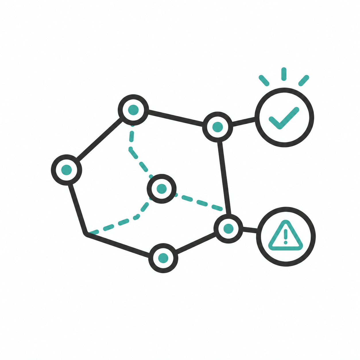
Visual color feedback

Indicates the success of the process by coloring the baselines green (correct) or red (error), and uses green triangles to confirm fixed PPK corrections

Multidimensional adjustment reports

Generate downloadable 2D or 3D reports with adjusted coordinates and deviations in ECEF, geographic, and plane coordinate formats

Assignment of known points by monograph

Allows defining a specific file as a control point and manually editing its coordinates (north, east, and height) based on the exact data from an official monograph.

Minimum requirements

GNSS post-processing

Process GNSS observations with a professional workflow focused on precision and traceability.

PPK Function

Use PPK as a backup or complement when RTK is not sufficient or field conditions are not ideal.

UAV Workflow

Integrate drone data to transform images into higher precision geospatial products.

Reports and export

Generate baseline reports, adjustments, KML, KMZ and other results ready for analysis or delivery.

+200 functions that will make your work much easier.

Do you have questions?

Do you have questions?

GeoMaster by STEC is a professional GNSS post-processing software for PC. It allows processing static data, baselines, networks, and PPK streams, as well as generating reports and exporting results for geospatial projects.
It is used to process GNSS data after field survey. It is useful for validating measurements, adjusting networks, processing baselines, working with PPK, and generating technical project documentation.
Not necessarily. GeoMaster complements RTK work. While RTK delivers real-time results, GeoMaster allows you to process data later, review results, and use PPK as a backup when field conditions were not ideal.
Yes. GeoMaster includes a UAV workflow oriented to photogrammetry, allowing you to work with GNSS data and drone images to support the generation of accurate geospatial results.
GeoMaster allows you to export baseline reports, adjustment reports, and files such as KML and KMZ, among other useful formats for analysis, backup, or delivery.
Yes. GeoMaster includes RINEX conversion tools, which help prepare and make GNSS data compatible within the post-processing workflow.

Yes. All our products include training through the free GoKeep program. Additionally, our support channel is always available to provide you with a quick response to any technical or commercial questions. You can find our WhatsApp contact directly in the footer of our website.

Yes, we sell to customers throughout Chile. Since it is software, the activation code is sent by email along with the certificate, installers, and access to courses.

No, the published prices are net and VAT is added at checkout.

Talk to an advisor

Response in less than 5 minutes.

Unleash their potential

Experts in precision

Discover more solutions by category.

GNSS Systems

Laser Scanner

Cameras

Total Stations

Detection Systems

Levels

Software