Convert clouds of
points in deliverables

Leica Cyclone 3DR transforms point clouds into models, meshes, inspections and professional deliverables for surveying, AEC and industrial plants. It allows you to process, analyze, model and present results from a single platform.

From $ 9,250,000 + VAT

Cyclone Register 3DR

3D data ready to decide

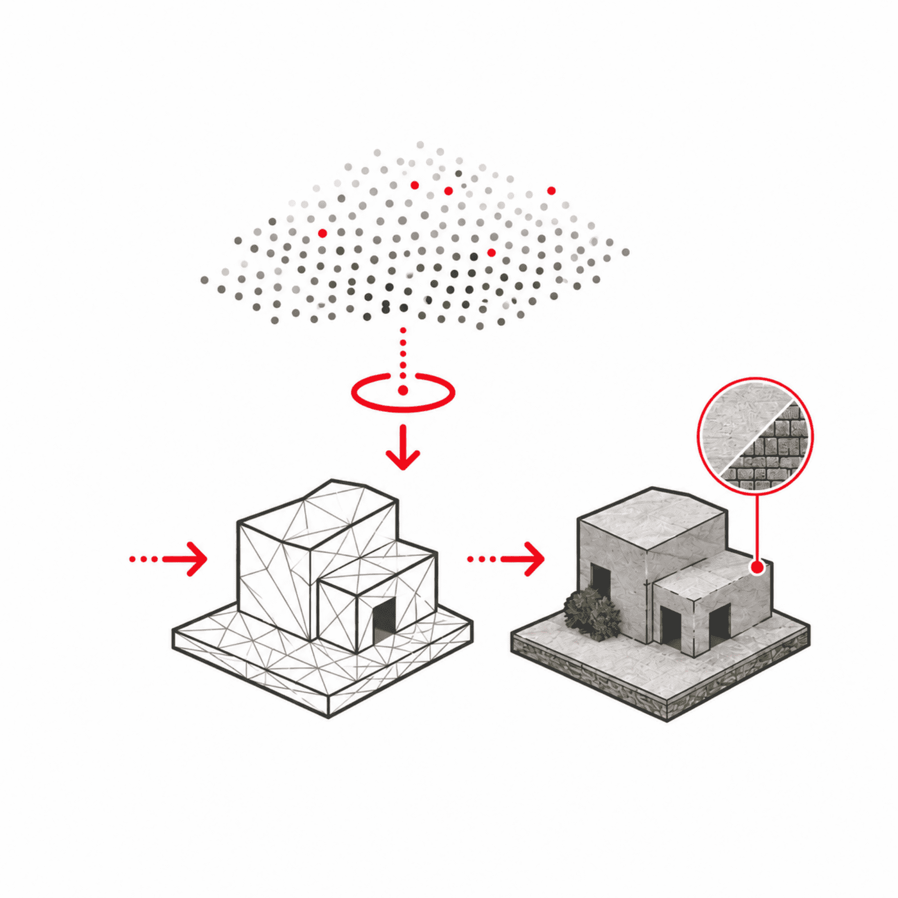
Point cloud to mesh
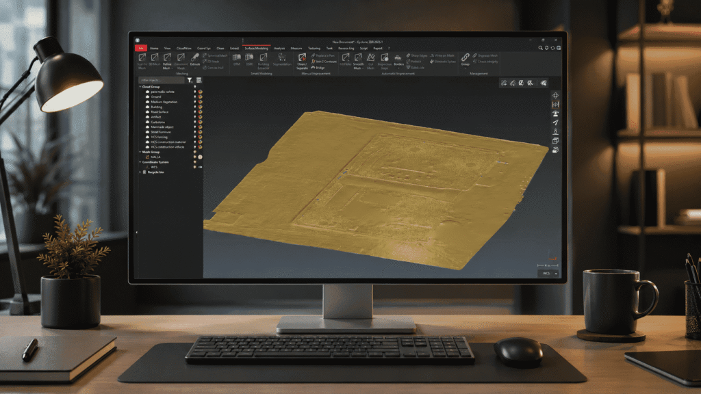
Clean, classify, and convert point clouds into lightweight meshes using Scan to Mesh, smart segmentation, and texturing, reducing manual tasks.
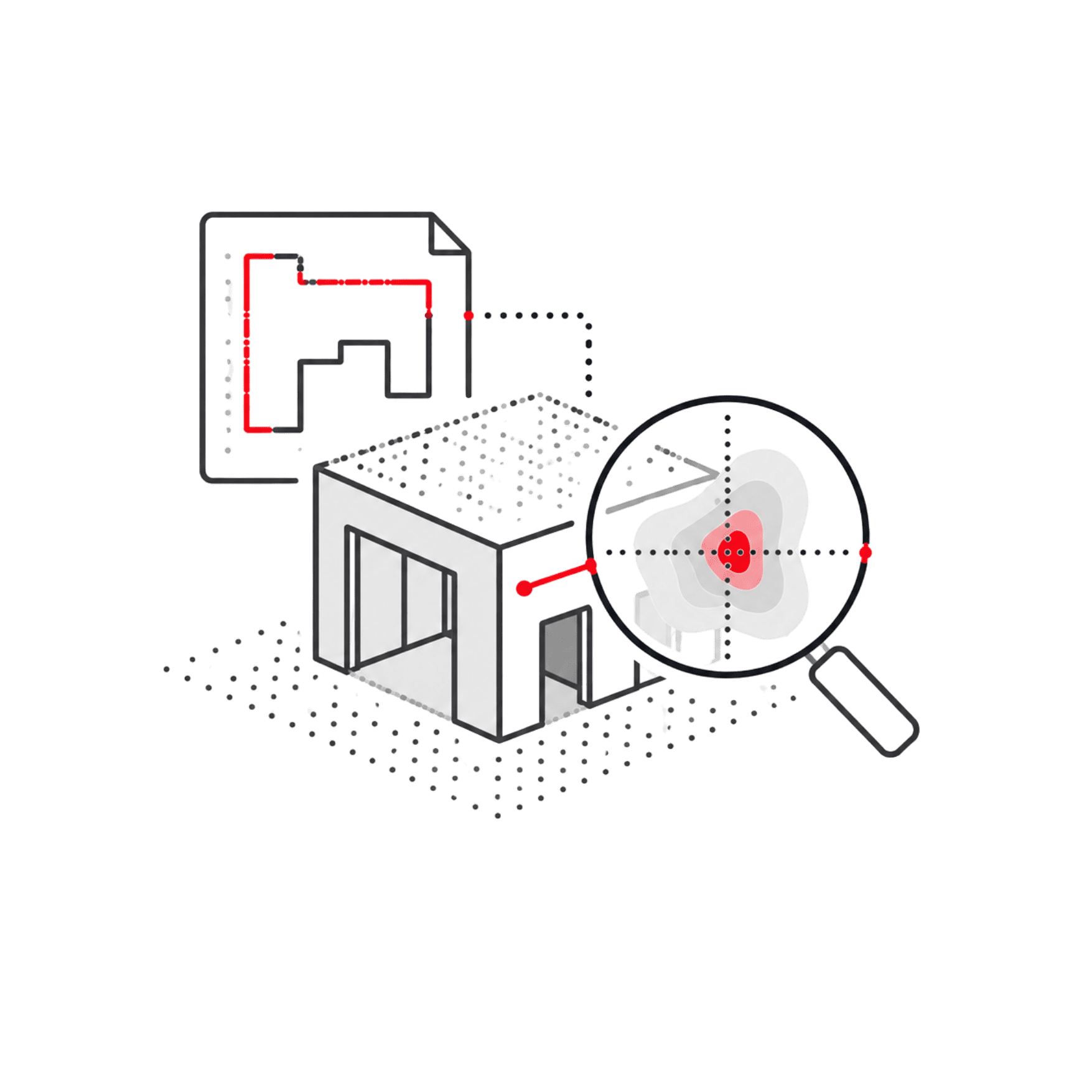
Inspection and quality control
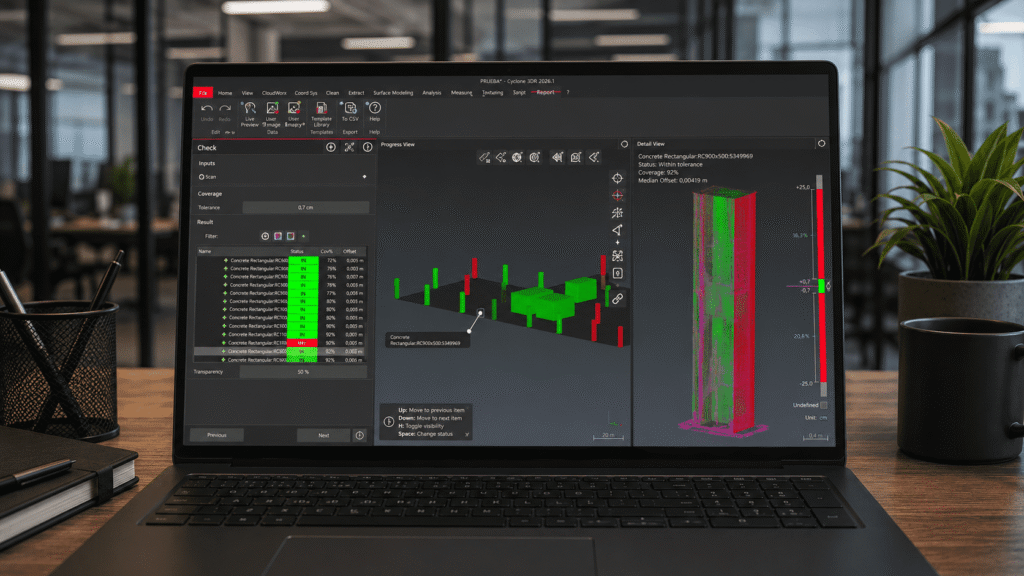
Compare clouds, meshes, or BIM models with defined tolerances to detect deviations, review assembly, and generate visual evidence for clients and site.
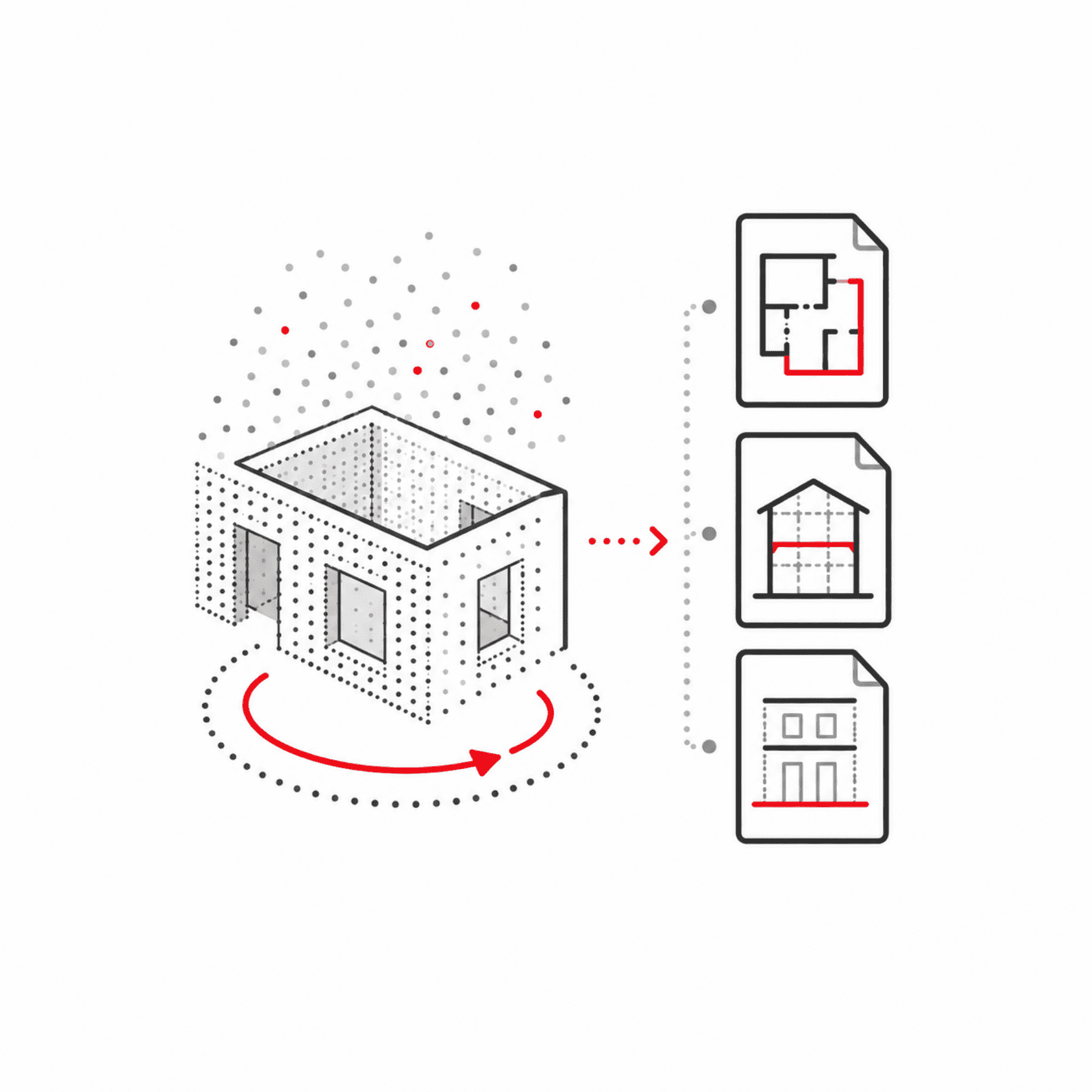
Industry-standard modeling
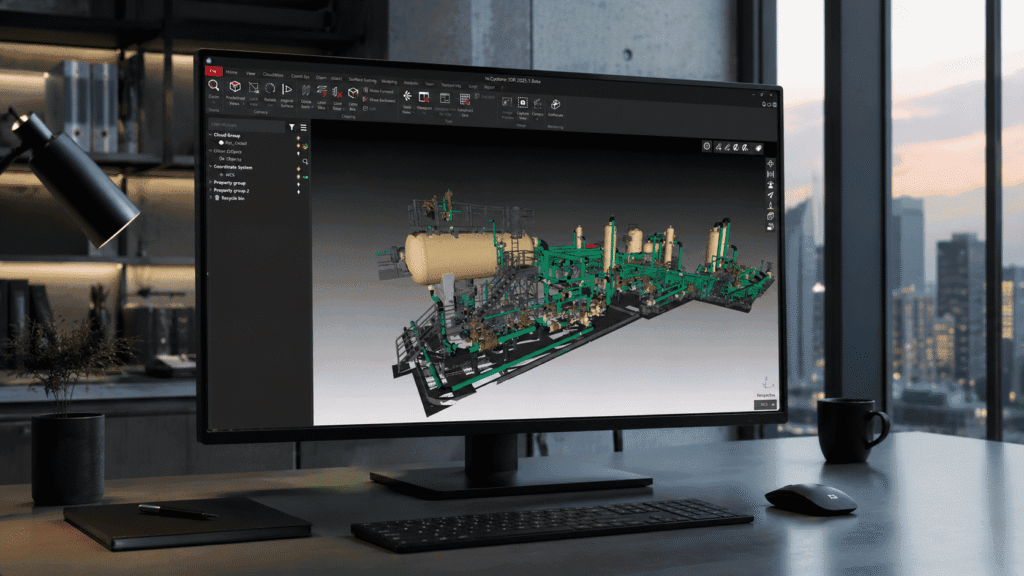
Accelerate the creation of plans, piping, and structures with guided workflows. Scan to Plan, Scan to Pipe, and Scan to Steel rely on editing.
Deliverables and interoperability
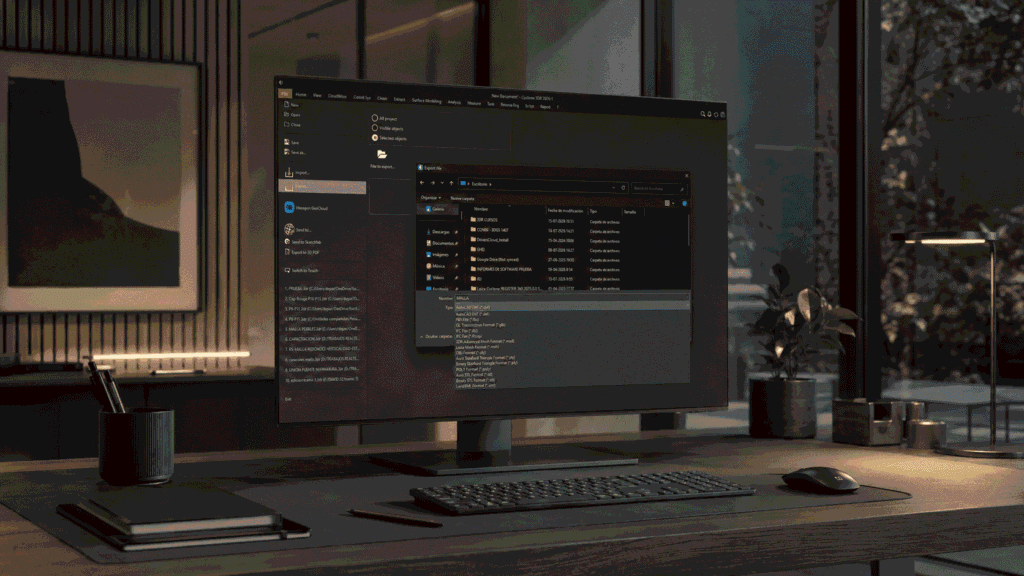
Generate a wide variety of professional deliverables and share results with leading CAD, BIM, surveying, and engineering software.

From scanning
to deliverable

Unlimited features

Intelligent point cloud classification

Organize large point clouds by classes to isolate terrain, buildings, vegetation, facilities, and other objects before modeling or inspecting.

Scan to Mesh and smart texturing

Convert point clouds into lightweight, detailed meshes with refinement, reduction, hole closing, and Smart Texture for better deliverables.

2D, 3D inspection and QA control

Compare captured data with surfaces, meshes, or design models to visualize deviations, tolerances, slopes, and inspection results.

Scan to Plant for AEC documentation

Extract elements and geometries from point clouds to support plans, sections, and documentation of existing buildings.

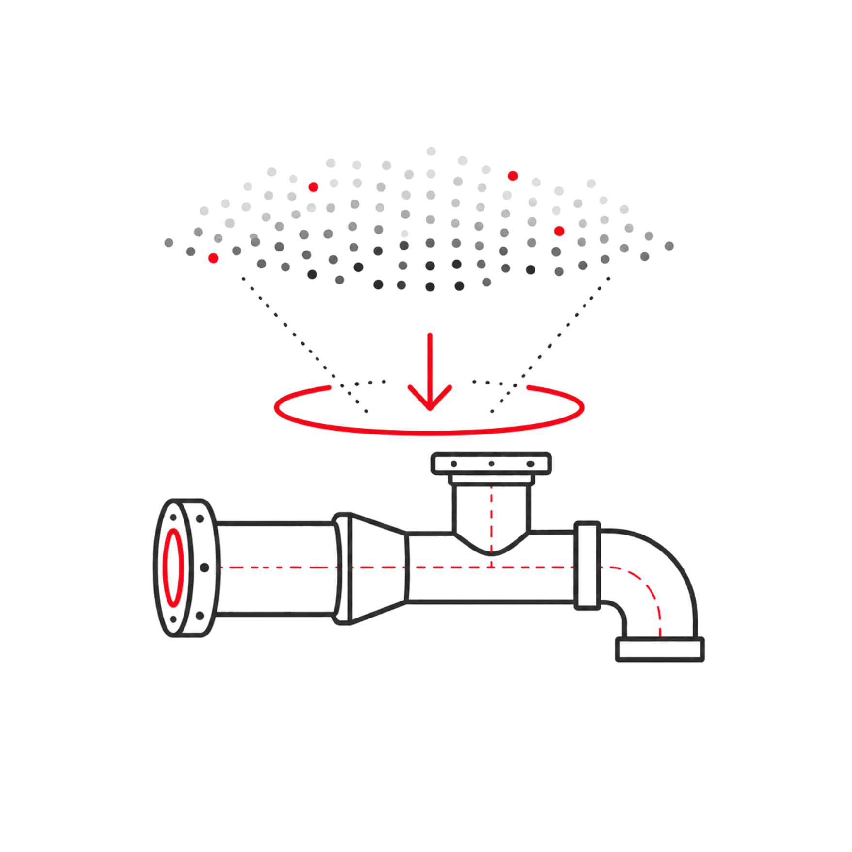
Scan to Pipe for industrial plants

Model pipes, elbows, reducers, branches and flanges from scanned data, with catalog fitting and export options.

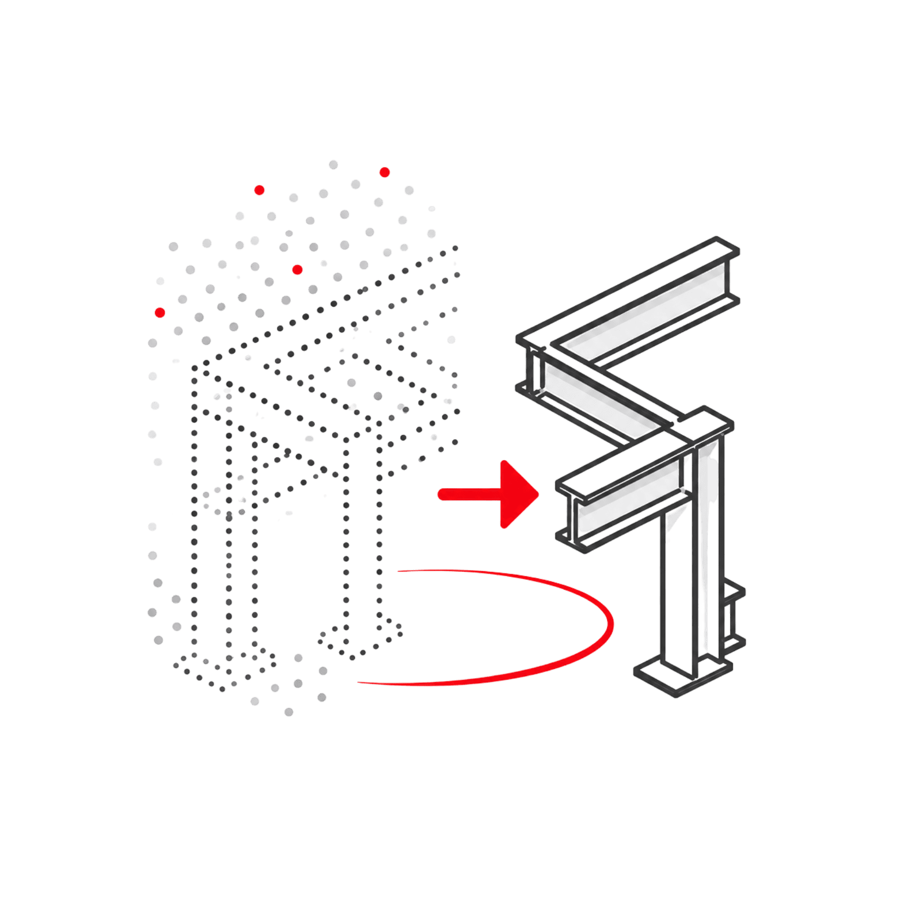
Scan to Steel for existing structures

Extract beams and columns from point clouds to create as-built models and export them to external engineering workflows.

BIM coordination and BCF export

Compare the built state with BIM models, record issues, and export BCF to coordinate observations with other participants.

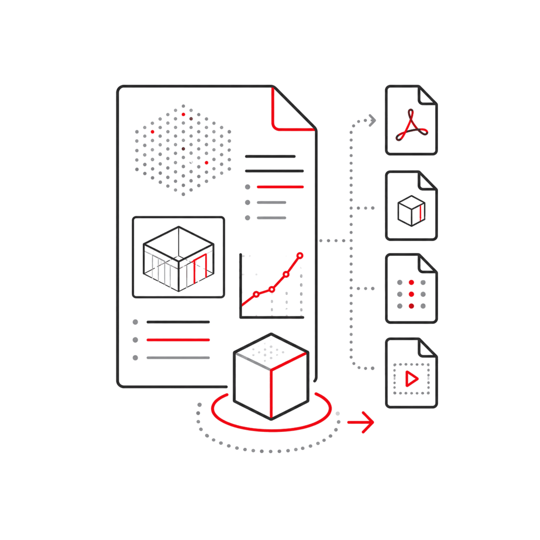
Professional reports and 3D deliverables

Combine views, tables, images, and numerical results in PDF or 3D PDF reports, as well as CSV, BCF, orthoimages, and videos.

Minimum requirements

Operating system

Windows 10/11 64-bit

Minimum memory

32 GB RAM

Minimum GPU

NVIDIA 1 GB with OpenGL 4.3+

Automatic classification

CUDA 12.8 and compatible NVIDIA GPU

+200 functions that will make your work much easier.

Over 200 satisfied customers.

It is not a coincidence.

Do you have questions?

Do you have questions?

It is desktop software for processing reality capture data and converting point clouds into meshes, models, inspections, orthoimages, and reports. It brings together tools for cleaning, classification, analysis, modeling, and publishing for surveying, AEC, construction, and industrial plants.
The 2026.1 documentation indicates compatibility with Microsoft Windows 10, from Build 1809, and Windows 11 on 64-bit.
As an official minimum reference, an Intel Quad Core i7 processor at 2 GHz or higher, 32 GB of RAM, an NVIDIA Quadro or GeForce GPU with 1 GB and OpenGL 4.3 or higher, and 3 GB of free disk space are indicated. For demanding projects, 64 to 256 GB of RAM and 20 GB of free space are recommended.
Automatic classification requires an NVIDIA GPU with compatible compute capability, between 5 and 12 according to the 2026.1 documentation, plus 4 to 8 GB of graphics memory for complex loads. It also requires CUDA 12.8. Performance depends on the size and density of the cloud.
It supports, among others, LGS/LGSx, E57, LAS/LAZ, PTS, PTX, SDB, RDBX, PSL, ZFS, and ASCII files such as ASC, CSV, TXT, XYZ, or YXZ. It can also work with data streamed from LGSx and Hexagon GeoCloud. The availability of certain features depends on the edition.
Yes. The official documentation records import of DXF, DWG, IGES, STEP, IFC, RVT, NWD, and COE, in addition to Send To/Send From workflows with AutoCAD, BricsCAD, and MinePlan. Some capabilities, such as DWG, BIM analysis, or specialized tools, require AEC, Plant, or Pro.
Cyclone 3DR allows you to create a wide variety of professional deliverables from point clouds, meshes, and 3D models. You can generate technical reports, visual documentation, processed models, inspection results, orthoimages, animations, and files prepared to continue working in other environments. Its broad interoperability facilitates the exchange of information with the main software used in CAD, BIM, surveying, engineering, and construction workflows. The available options may vary depending on the edition and the tools used.

Yes. All our products include training through the free GoKeep program. Additionally, our support channel is always available to provide you with a quick response to any technical or commercial questions. You can find our WhatsApp contact directly in the footer of our website.

Yes, we sell to customers throughout Chile. Since it is software, the activation code is sent by email along with the certificate, installers, and access to courses.

No, the published prices are net and VAT is added at checkout.

Talk to an advisor

Response in less than 5 minutes.

Unleash their potential

Experts in precision

Discover more solutions by category.

GNSS Systems

Laser Scanner

Cameras

Total Stations

Detection Systems

Levels

Software