STEC Axis 9

From $2,690,000 + VAT or $266,758 for 12 months
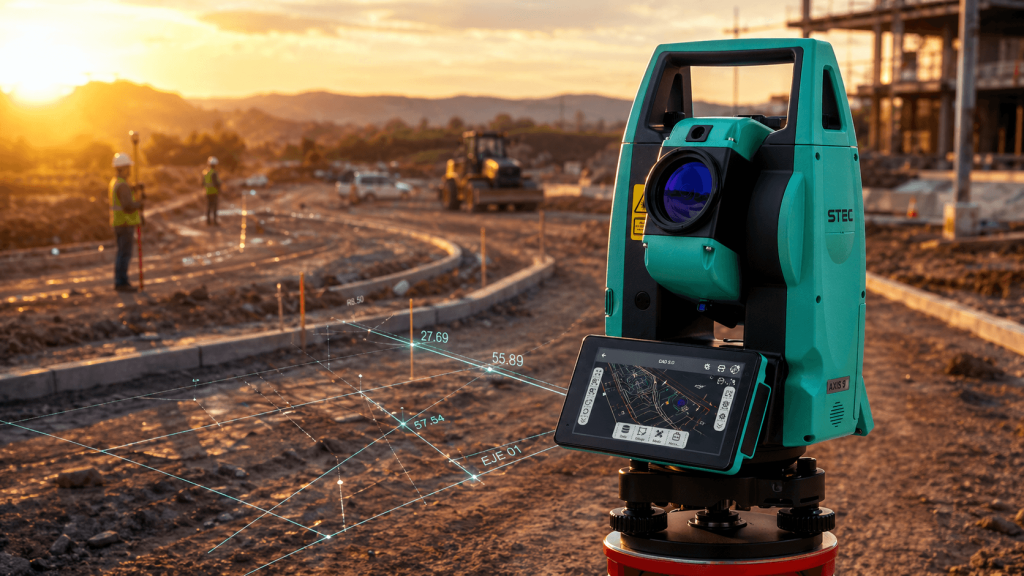
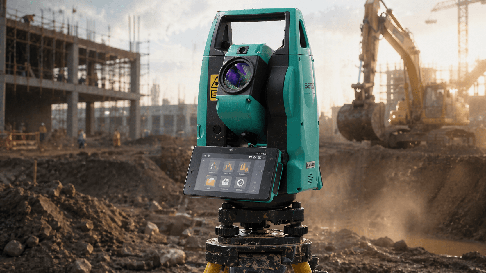
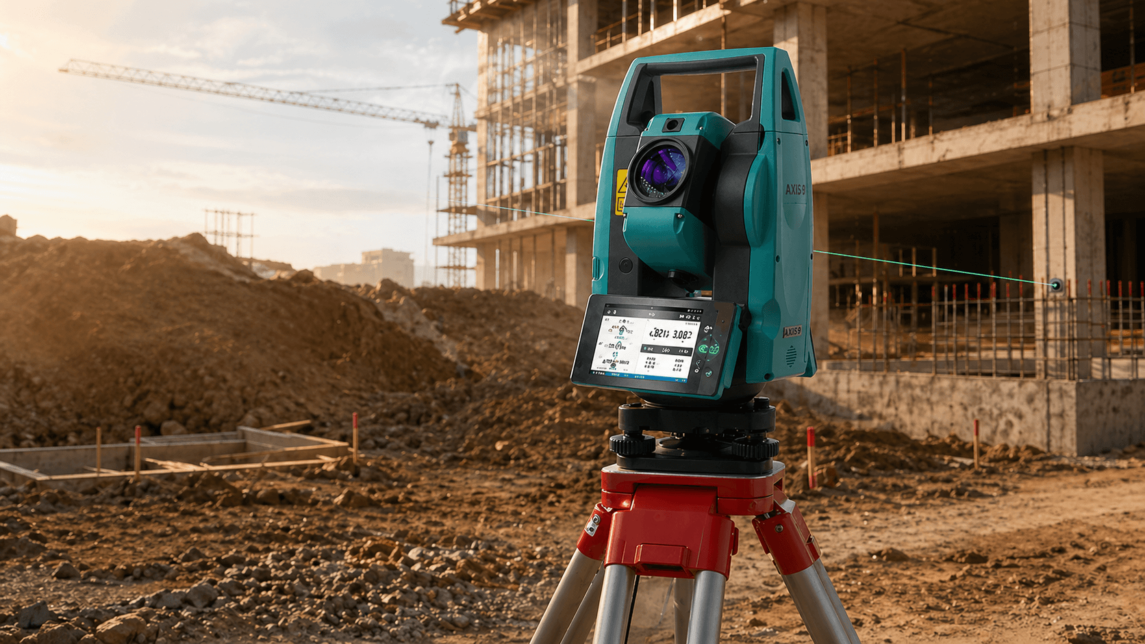
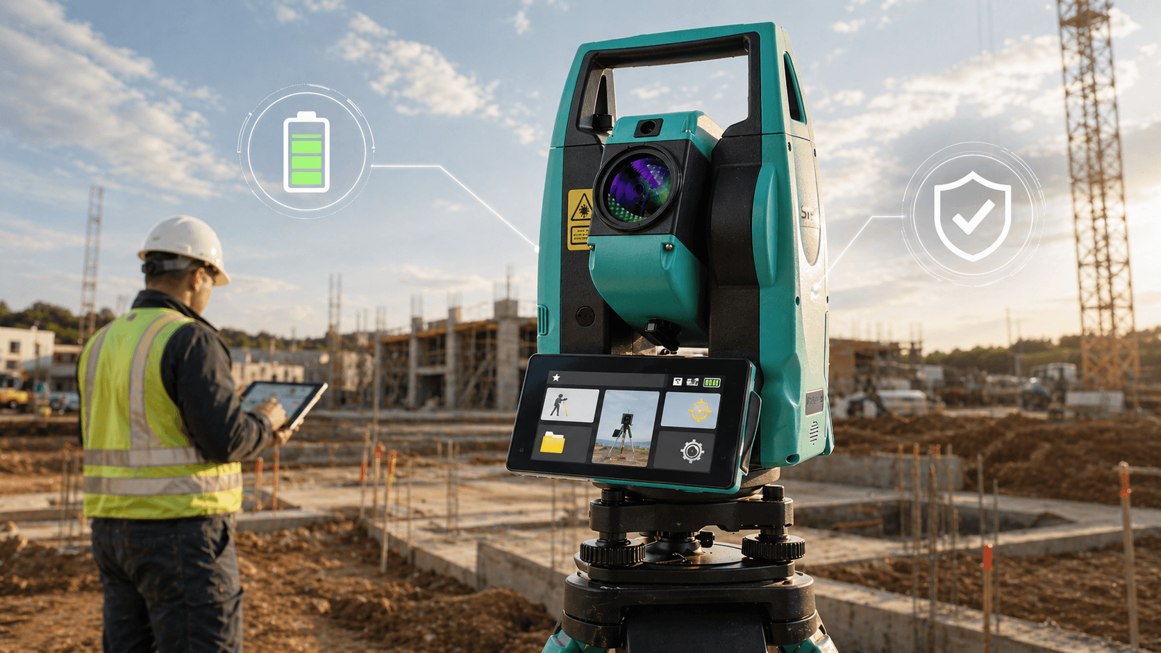
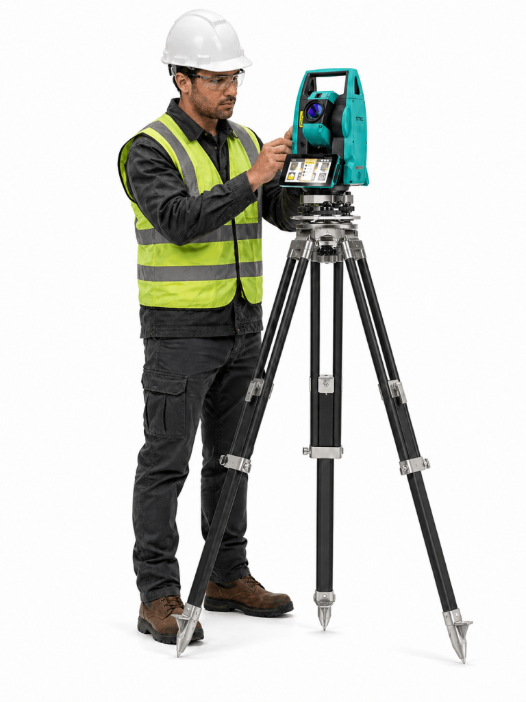
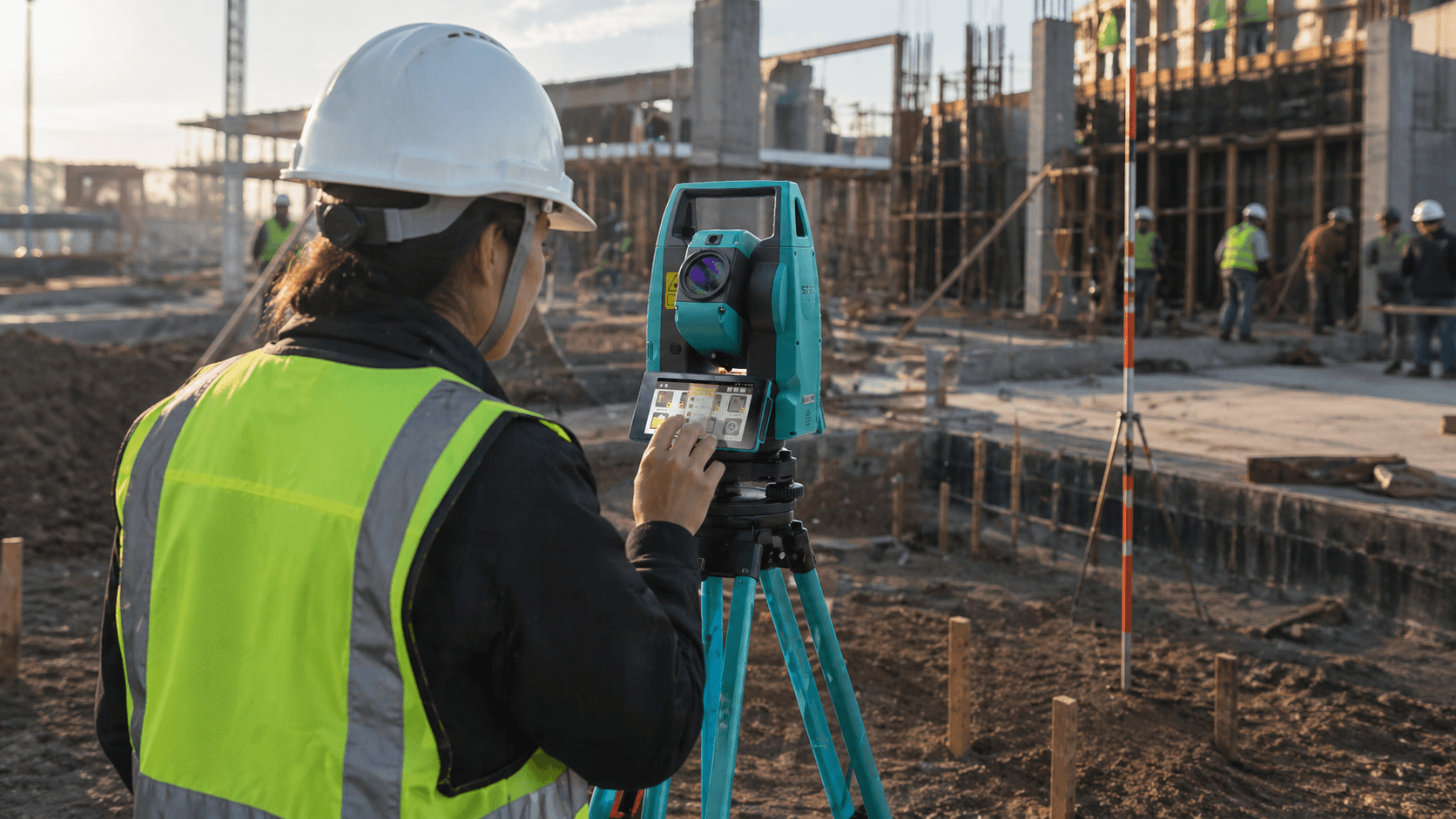
The essential tool for the modern surveyor. STEC Axis 9 combines cutting-edge technology with outstanding durability, offering reliable and precise performance every day. The ideal solution for construction and land surveying projects.

What makes it unique

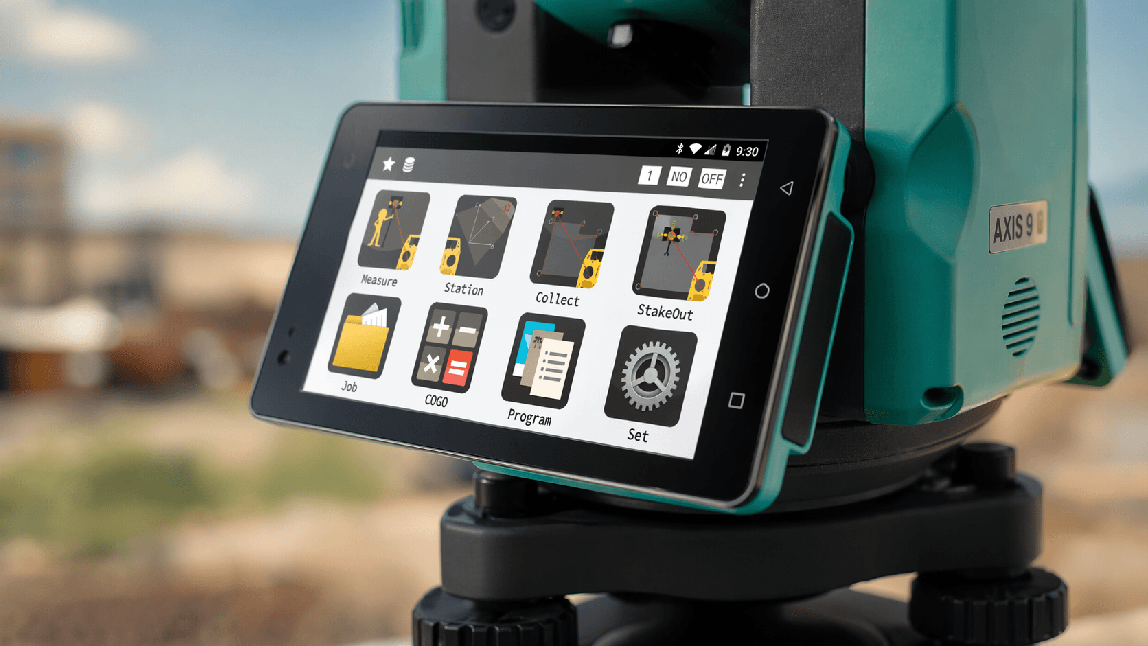
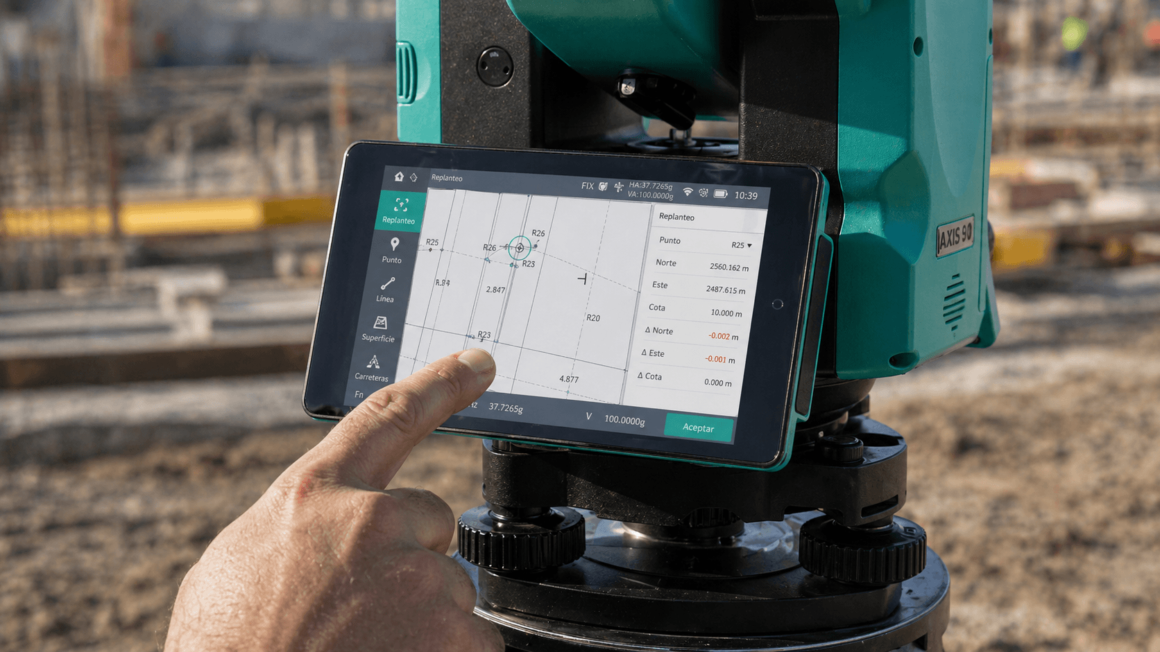
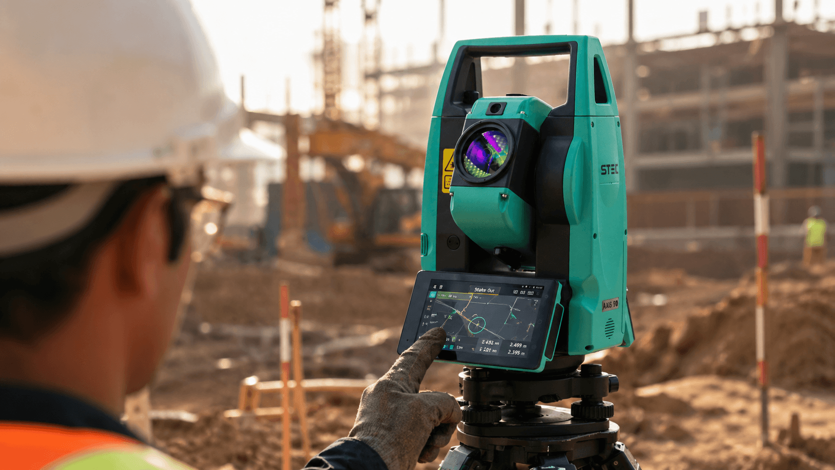
Touch screen + Android 9
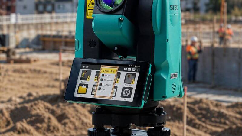
Intuitive interface that facilitates fieldwork, optimizing each operation in an agile and simple way.
Automatic instrument height
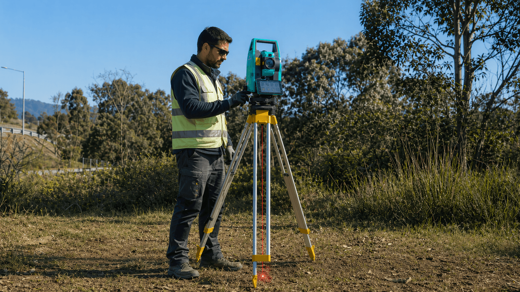
Measures the height of the equipment quickly and accurately, streamlining setup in the field.
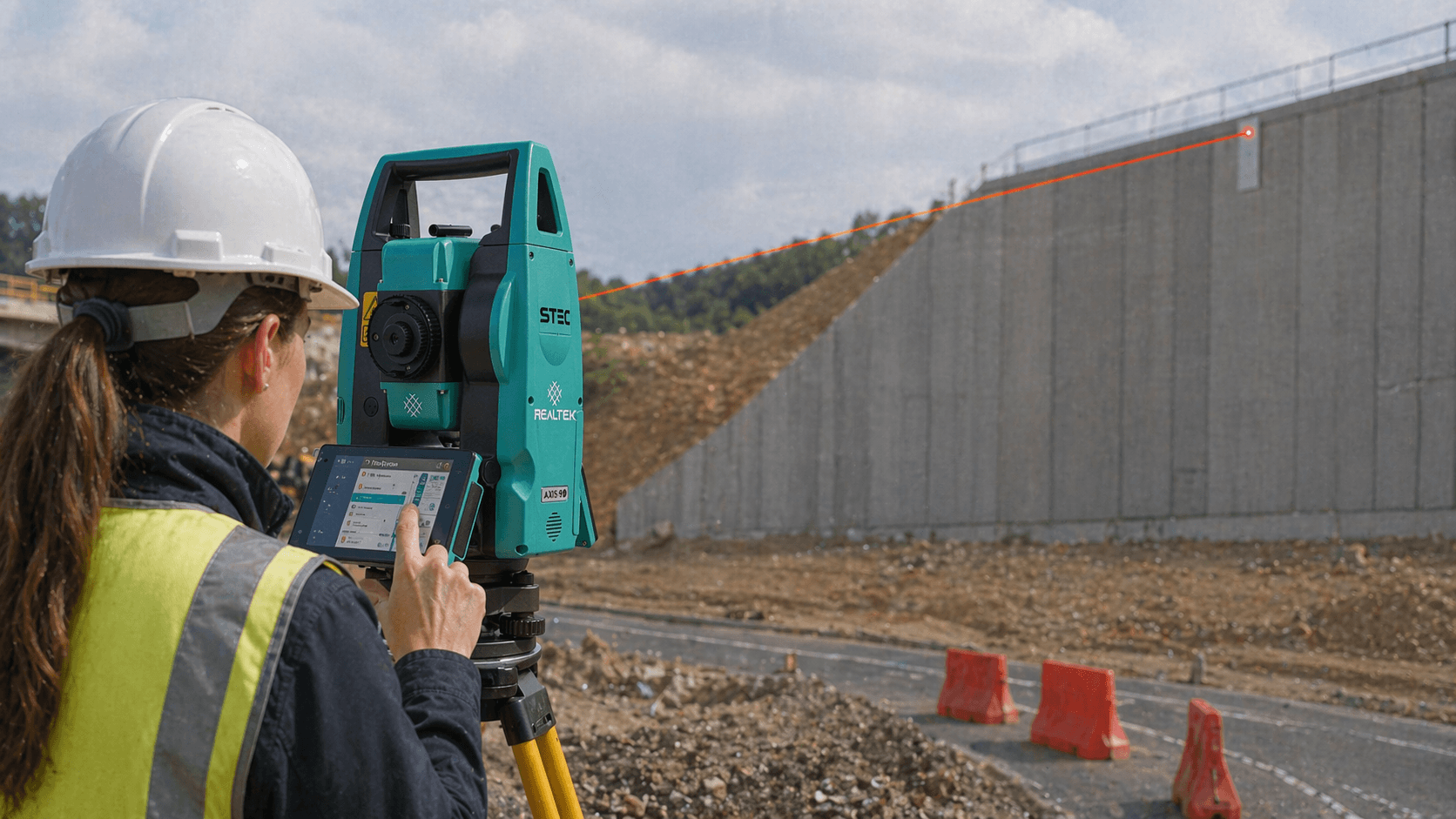
Prismless reading
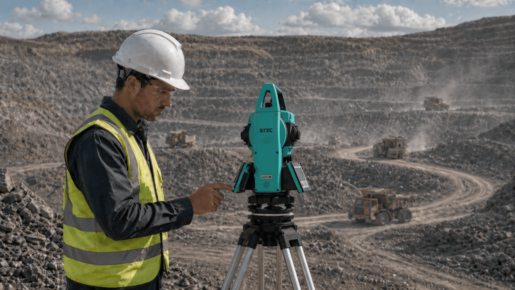
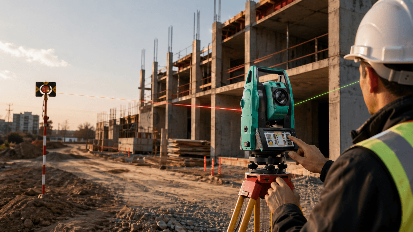
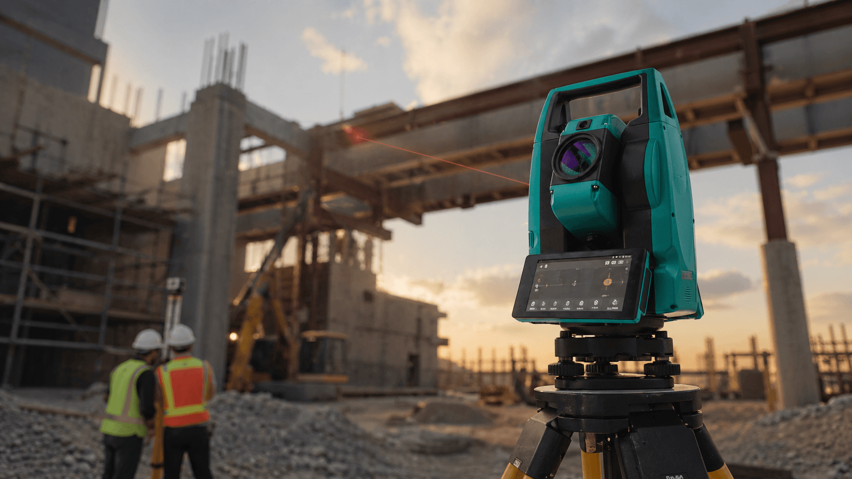
Direct prismless measurement to reach distant points up to 1500m or hard-to-reach areas with greater efficiency.

Marking, measuring and staking out on site with
speed and precision is no longer a challenge.

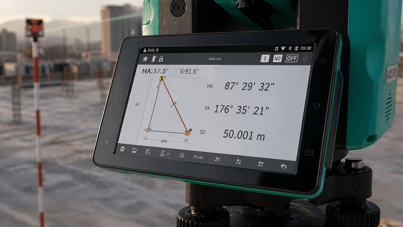
Orientation Diagram
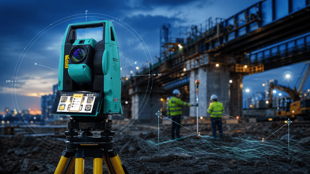
It allows you to clearly view the orientation diagram after each measurement, facilitating quick verification on site.
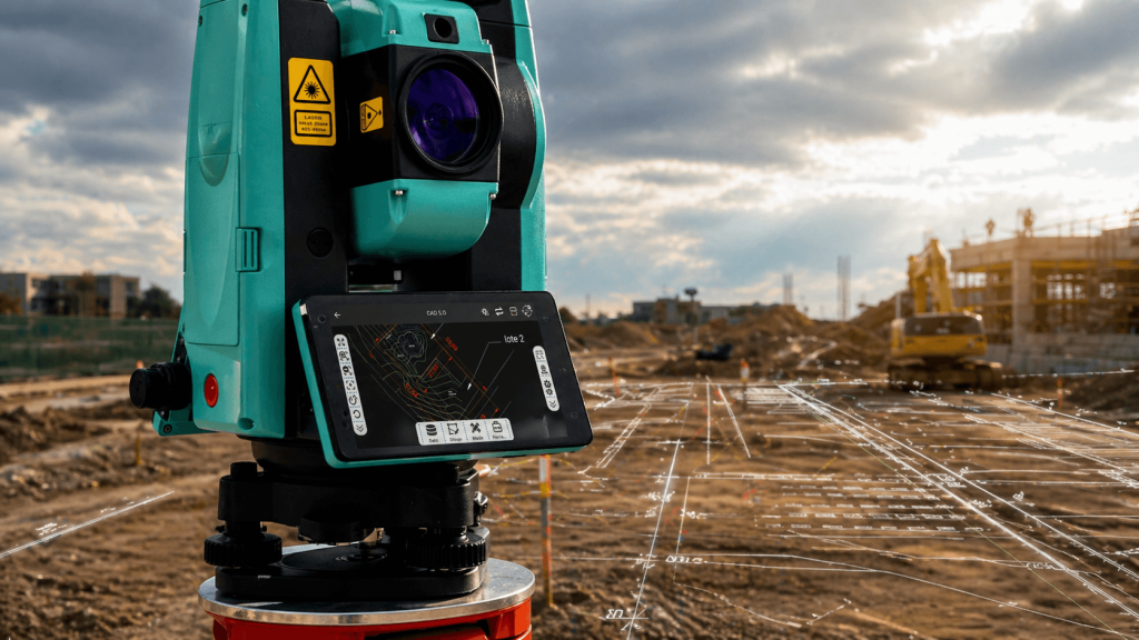
CAD Staking
Allows importing CAD files and using them directly in the field for fast and accurate staking.
High Precision and Range
Offers angular accuracy of 2" and prismless measurement up to 1.5 km, surpassing many mid-range stations.
Dual Operational Display
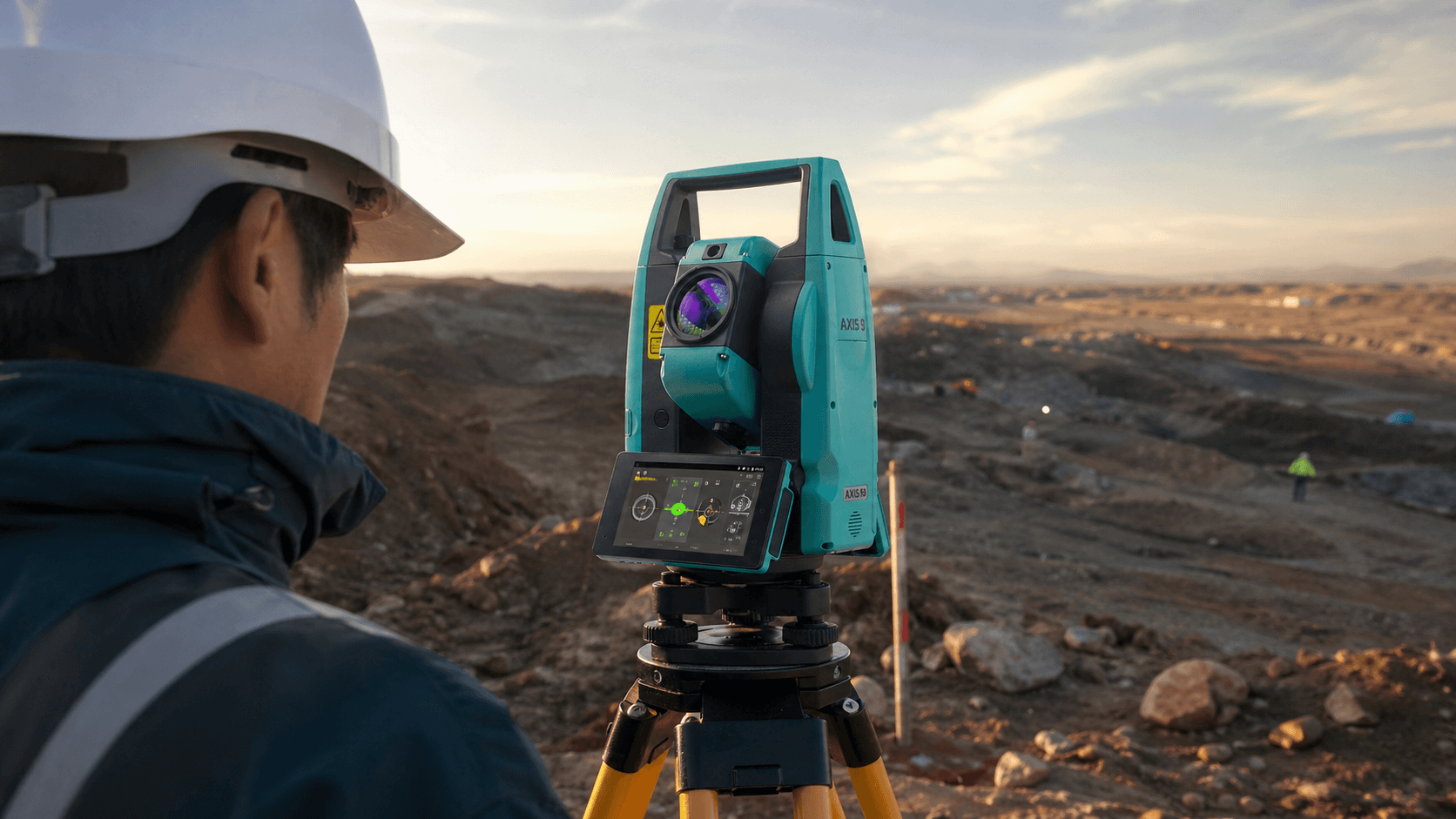
Work comfortably from either side of the device. More practicality, better visibility, and a much more efficient workflow.

No reflector.
Prism-free precision.

Especially
created for you

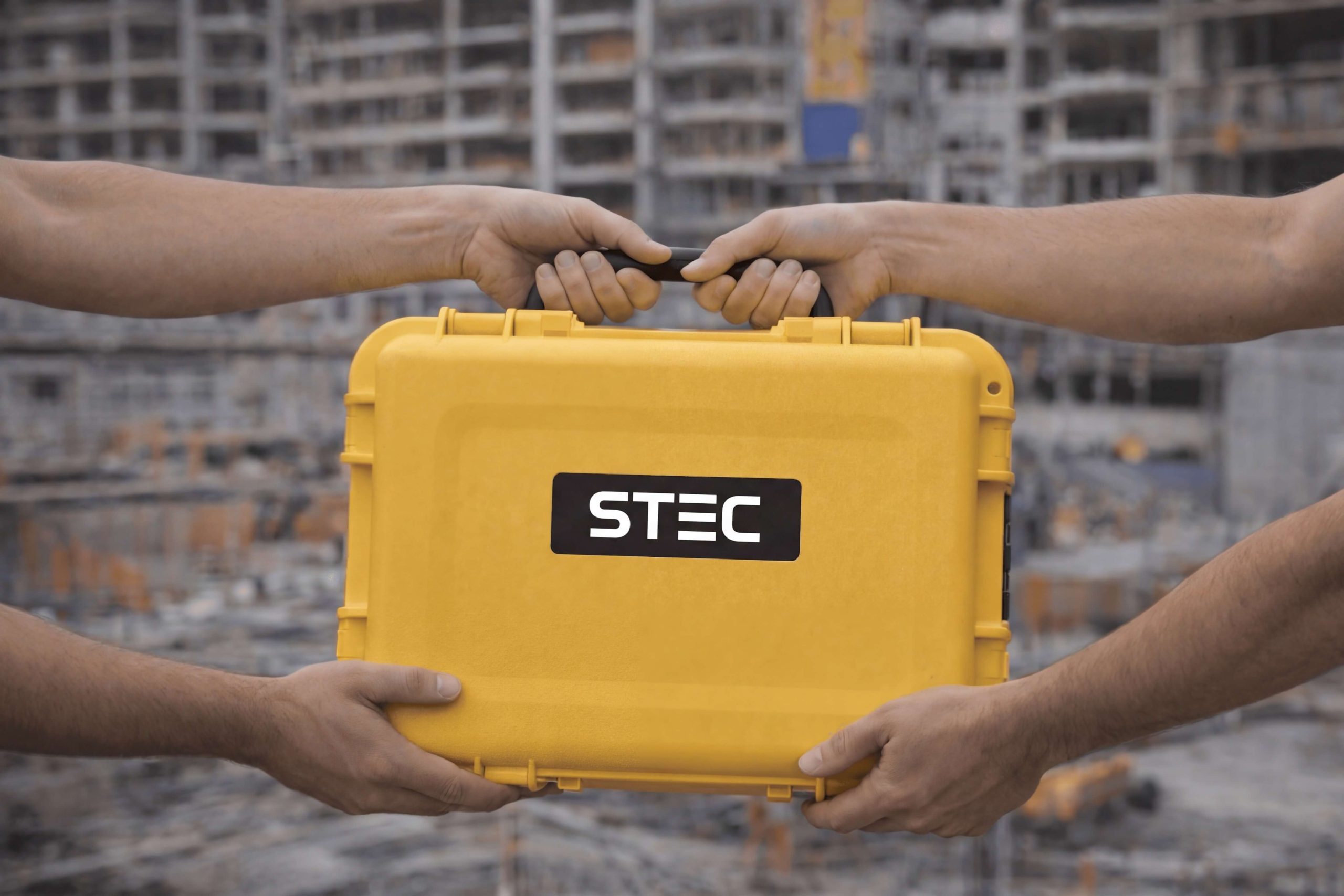
More than 1000 satisfied customers.

It is not a coincidence.

Technical specifications
Distance accuracy
1+1 ppm / 2+2 ppm, depending on configuration
Distance without prism
1,000 / 1,500 / 2,000 m, depending on version
OS
Android 9 with Google Services
Angular Accuracy
1" / 2"

The heart of the software

STEC Field Master

Predefined codes

Preset codes and inputs simplify map drawing in the field.

Survey and calculation

From the app, you can collect points, stake out, edit, and calculate directly.

CAD as background

Allows using CAD files as a background layer to guide surveying or staking out.

CAD visible and editable

Offers good visualization and CAD editing capabilities in the field.

AR stakeout with SV1

It also supports AR staking out on SV1 with a single camera to guide to the exact point.

AR stakeout with SDi

Delivers an augmented reality staking out experience using SDi with dual camera.

Real-time results

Shows results and images in real time directly on the phone.

Laser measurement with SDi

Helps the SDi receiver obtain correct points through laser distance measurement.

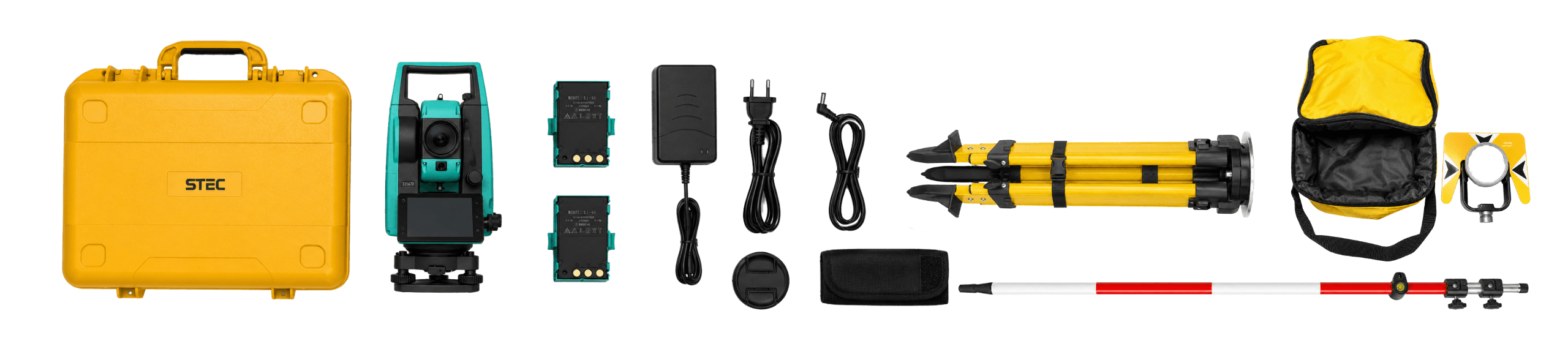
What's in the box?

It also includes

Product warranty

Access to product training course

Exclusive Level 1 discounts

Direct training with our support team

Free

Included in your purchase 12 months

Do you have questions?

Do you have questions?

At short distances (less than 300m) the error is only 3mm + 2ppm.
Yes, it allows downloading data via USB, SD card, or Bluetooth wireless connection.
Yes. The STEC Axis 9 is suitable for work in tunnels and underground works, as it allows measurements and stakeouts with high precision, even in environments where GNSS is not possible. Its prismless measurement, auto height, guide light, and integrated Android system facilitate the operator's work in the field, making the process faster, more organized, and reliable. However, for tunnel projects with very specific requirements, such as convergence, deformation monitoring, tunnel boring guidance, or specialized millimeter control, it is advisable to use an AXIS 10M, which is a high-precision instrument (0.5" angular accuracy and 0.8mm + 1ppm distance accuracy).
Yes. The STEC Axis 9 is compatible with CAD plans, allowing design information to be taken directly to fieldwork. This facilitates tasks such as staking, surveying, point checking, and comparison between the designed project and actual field conditions. For the operator, this means working with a clearer, more organized visual reference that is connected to the technical office workflow.
Auto-height measurement allows the total station to automatically capture the instrument height using its built-in distance meter. This helps save time during equipment setup and reduces errors associated with manual height measurement. In the field, this function enables faster, more organized, and more precise work from the start of the day.
Yes. The STEC Axis 9 has a brake, which allows for better control of the equipment's movement during operation. This feature helps to work with greater stability and precision, especially in tasks that require aiming, fixing, or adjusting measurements with more control.

Yes. All our products include training through the free GoKeep program. Additionally, our support channel is always available to provide you with a quick response to any technical or commercial questions. You can find our WhatsApp contact directly in the footer of our website.

Yes, we ship to different regions of the country. The cost and delivery time may vary depending on the municipality or region of destination.

No, the published prices are net and VAT is added at checkout.

Talk to an advisor

Response in less than 5 minutes.

Experts in precision

Discover more solutions by category.

GNSS Systems

Laser Scanner

Cameras

Total Stations

Detection Systems

Levels

Software