Fast, smart GPR
and accurate.

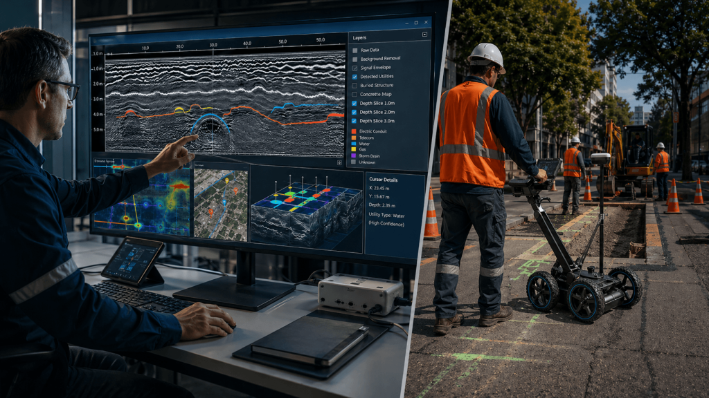
Convert complex GPR data into clear and accurate results, optimizing post-processing and reducing work times from any device.

Proceq GPR Insights

Detection without intervention
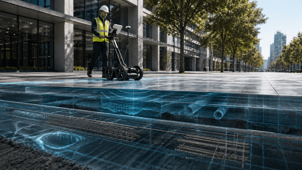
Allows inspecting structures, pavements and surfaces without drilling, breaking or altering the work area, preserving its original state during analysis.
Prevention of critical errors
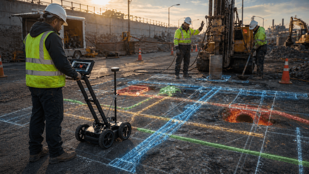
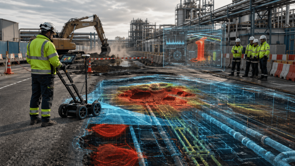
Helps identify interferences, voids, rebar, ducts, or other hidden elements before executing works, avoiding damage, delays, and unforeseen costs.
On-site safety
Reduces team exposure to invasive work or risk areas, allowing internal conditions to be assessed before physically intervening in the space.
Key information for decisions
Delivers technical data on non-visible elements, facilitating planning, condition validation, and definition of actions with greater support.

Clear GPR data
in less time.

Unlimited features

GPR Web Analysis

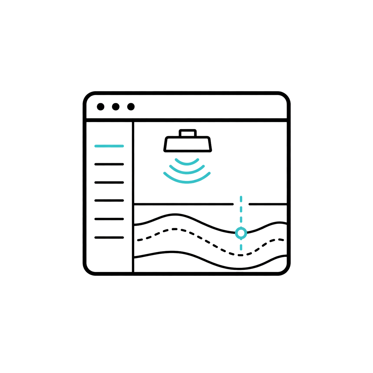
It is an intelligent web analysis solution for GPR, SUE and geosciences service companies.

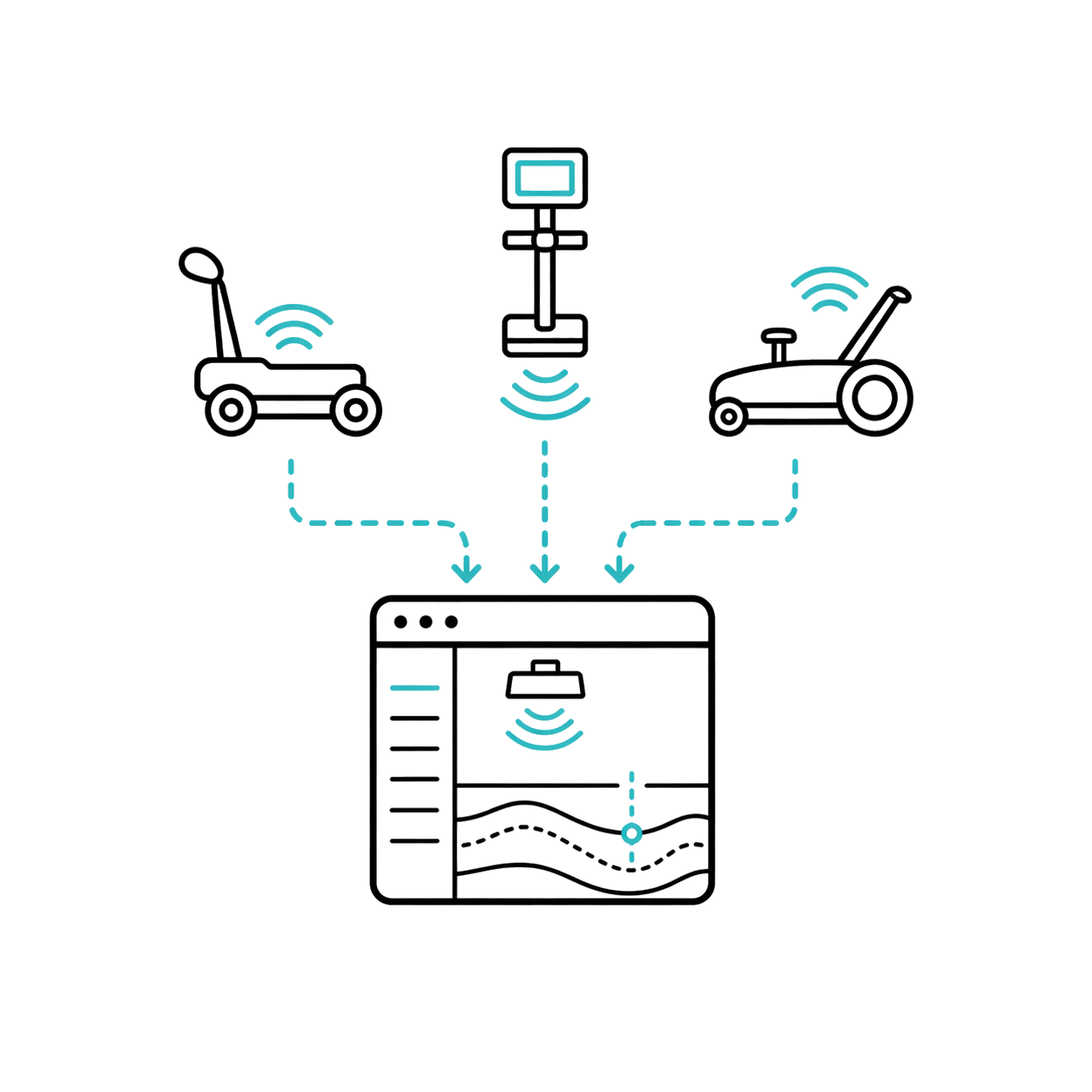
Compatible with data from different GPR equipment
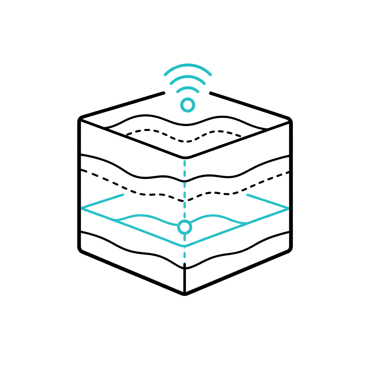
It is presented as an agnostic solution for advanced analysis of GPR data from different equipment.

3D Visualization

Integrate 3D visualization to interpret volumes and post-processing results with greater clarity.

Big Data Processing

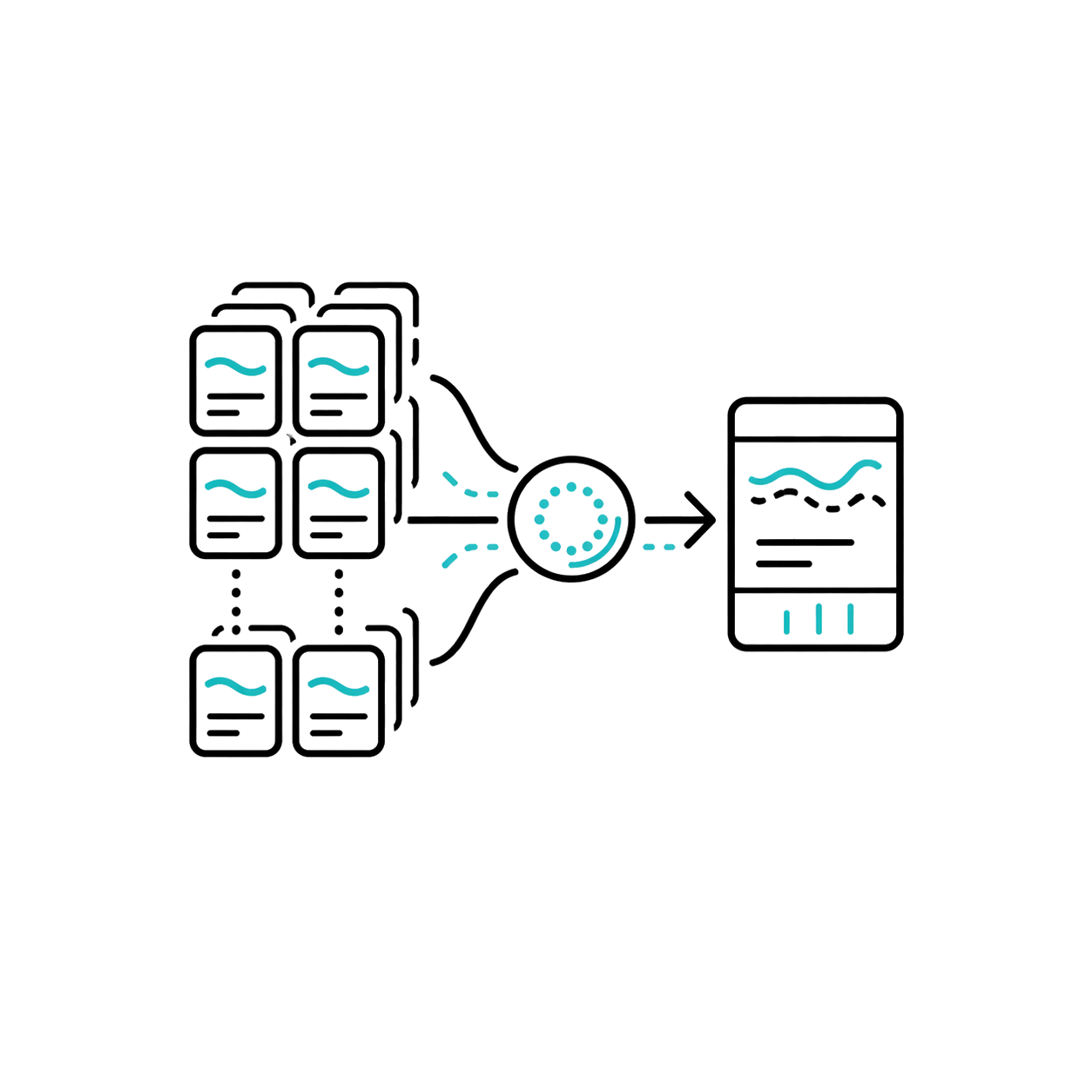
Combine 3D analysis and processing of large volumes of data for extensive campaigns.

AI for Interpretation

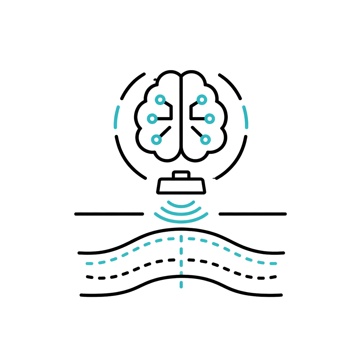
Integrate AI-assisted analytics, including automatic hyperbola detection and qualitative condition or deterioration maps.

Cloud Collaboration

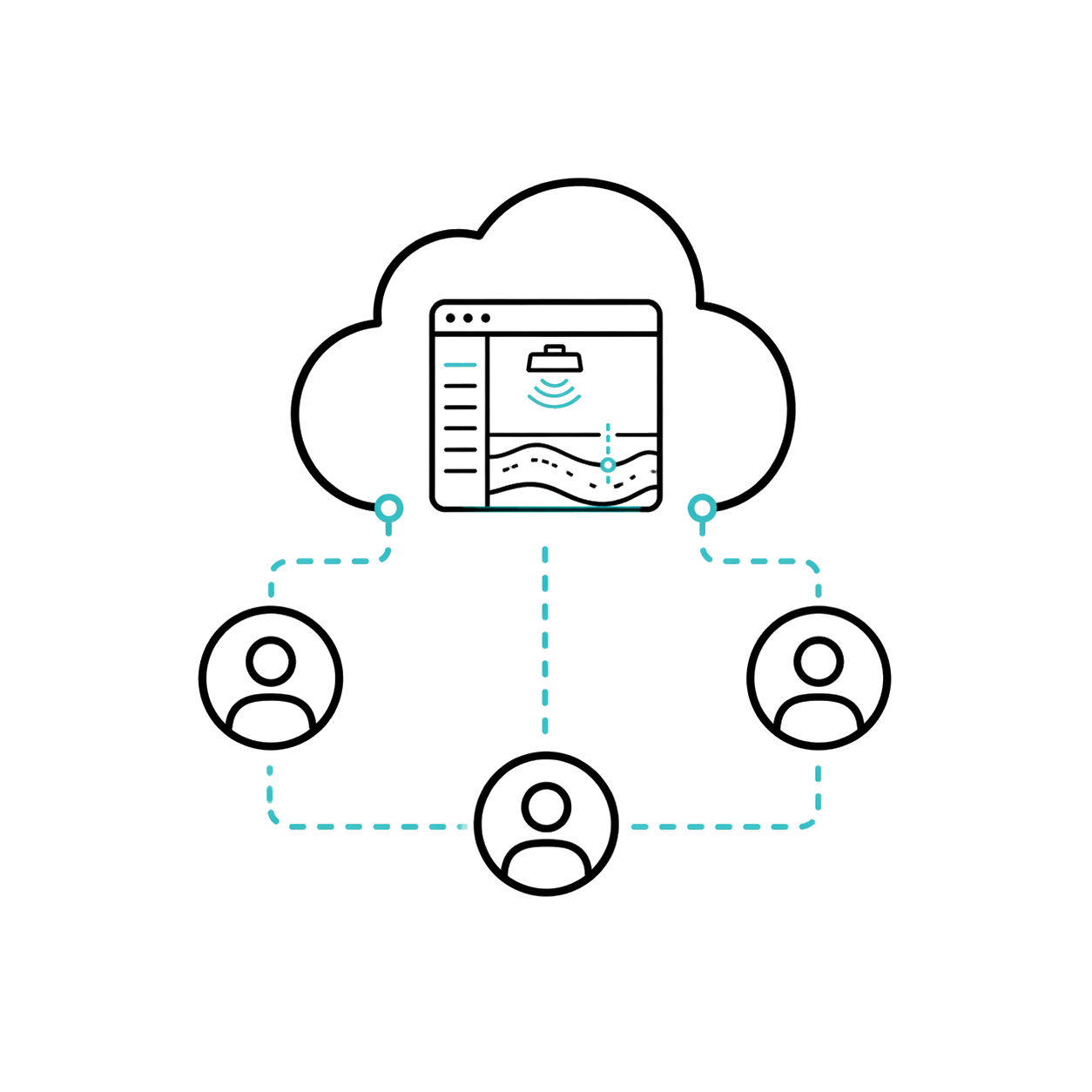
The cloud architecture allows sharing sessions, collaborating, and maintaining a consistent experience from the browser.

Multichannel Processing

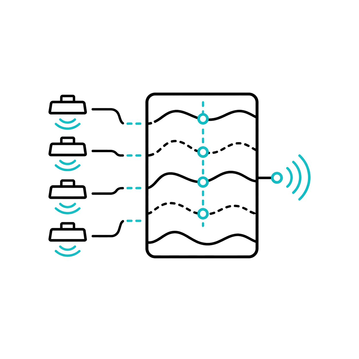
Supports multichannel data streams, key in extensive surveys of buried services, pavements and large surfaces.

Topo and GPS Correction

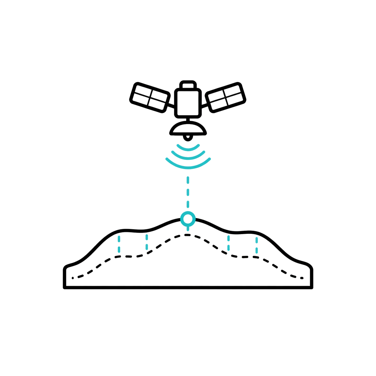
Includes topographic corrections, GPS imaging and total station navigation for more reliable post-processing.

Minimum requirements

Operating system

Web / Windows*

CPU

Not applicable

RAM

Not applicable

GPU

Not applicable

+200 functions that will make your work much easier.

Leader and recognized
worldwide

Recognized for integrating the GPR Slice trajectory and the Screening Eagle ecosystem into a simpler, more visual, and advanced GPR post-processing.

Do you have questions?

Do you have questions?

Proceq GPR Insights is post-processing software for ground penetrating radar data. It allows analyzing, visualizing and interpreting information captured with GPR equipment in the field. It is used in detection of buried utilities, concrete inspection, pavement evaluation, structural analysis, infrastructure and non-destructive testing.
Post-processing is the stage after field capture. In this stage, GPR data is reviewed, cleaned, organized, and analyzed to obtain a clearer interpretation. This allows for better visualizations, detection of possible anomalies, and generation of more understandable technical deliverables for the client.
No. The software helps visualize and analyze data, but the final interpretation depends on a specialist. Ground conditions, moisture, depth, material type, interference, and equipment configuration can affect results. Therefore, GPR Insights should be understood as a technical support tool, not as infallible automatic detection.
Concrete inspection projects, buried services search, pavement analysis, infrastructure studies, slab review, anomaly detection and technical documentation with ground penetrating radar benefit.

Yes. All our products include training through the free GoKeep program. Additionally, our support channel is always available to provide you with a quick response to any technical or commercial questions. You can find our WhatsApp contact directly in the footer of our website.

Yes, we sell to customers throughout Chile. Since it is software, the activation code is sent by email along with the certificate, installers, and access to courses.

No, the published prices are net and VAT is added at checkout.

Talk to an advisor

Response in less than 5 minutes.

Unleash their potential

Experts in precision

Discover more solutions by category.

GNSS Systems

Laser Scanner

Cameras

Total Stations

Detection Systems

Levels

Software