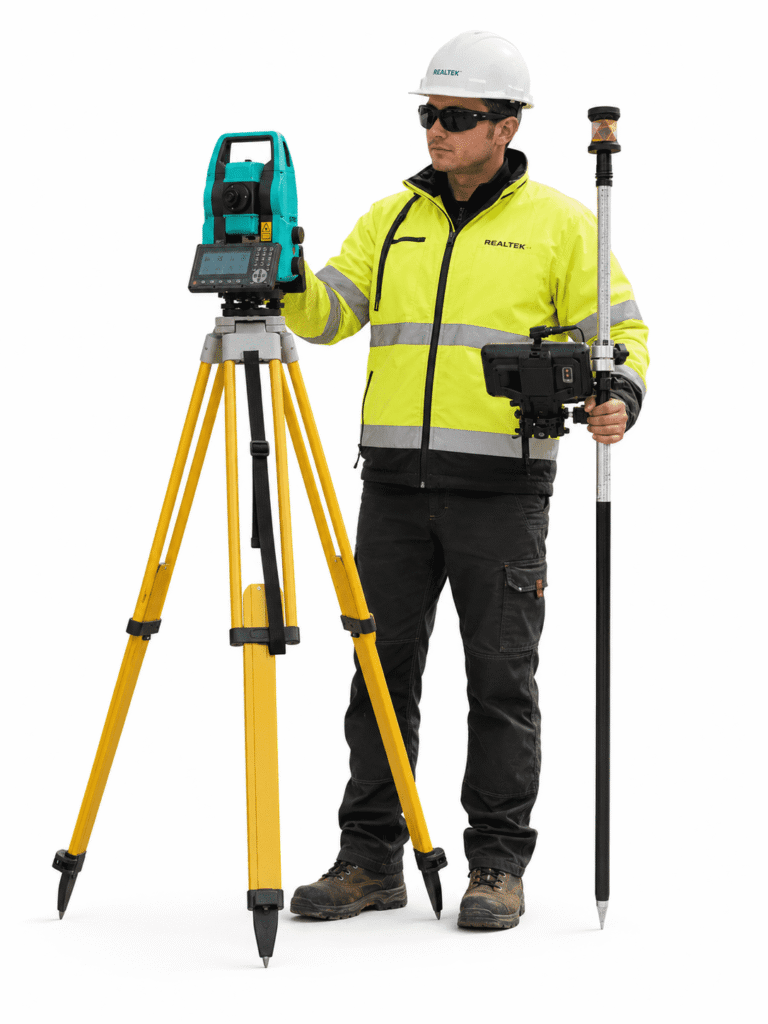

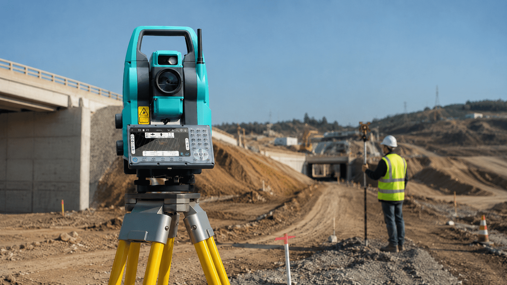
Robotic Field Operation
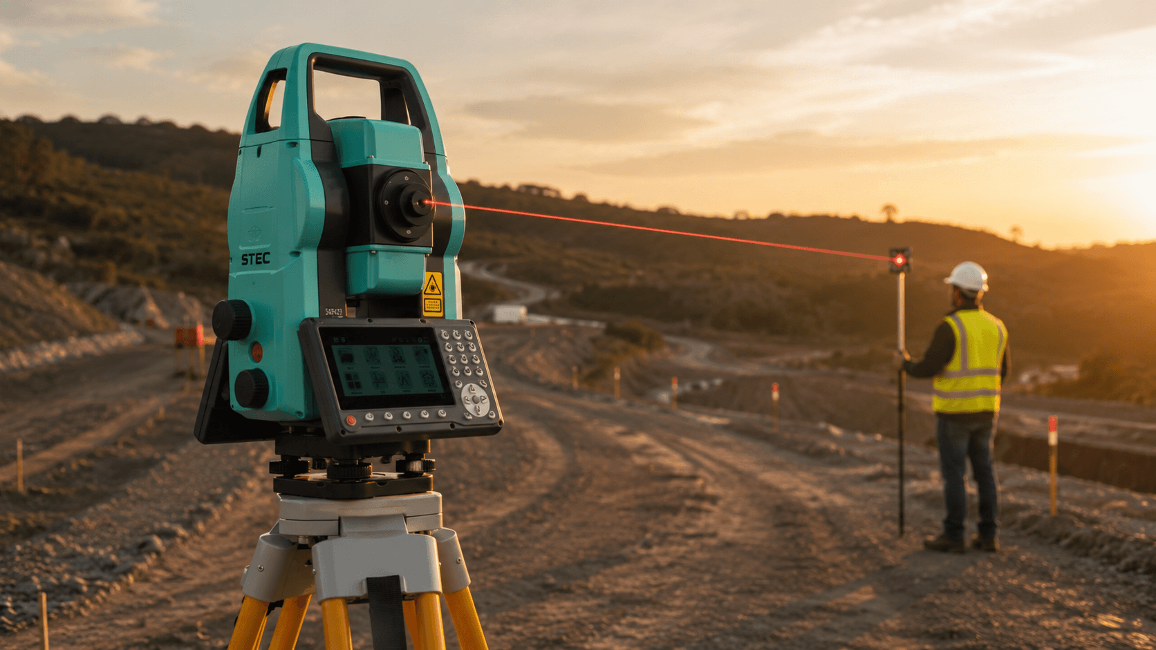
Enables surveys, stakeouts, and measurements with greater agility, optimizing the surveyor's daily work.

STEC AXIS SP
Get a quote for this product in 2 minutes to make your decision
Rent from a single day onwards

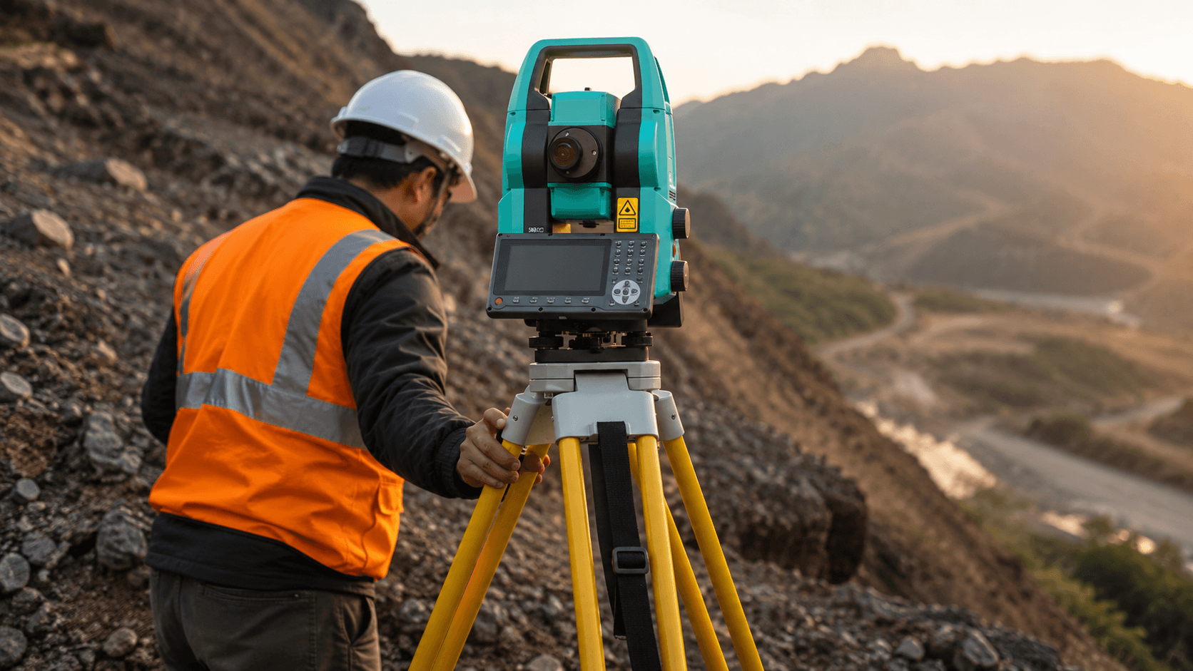
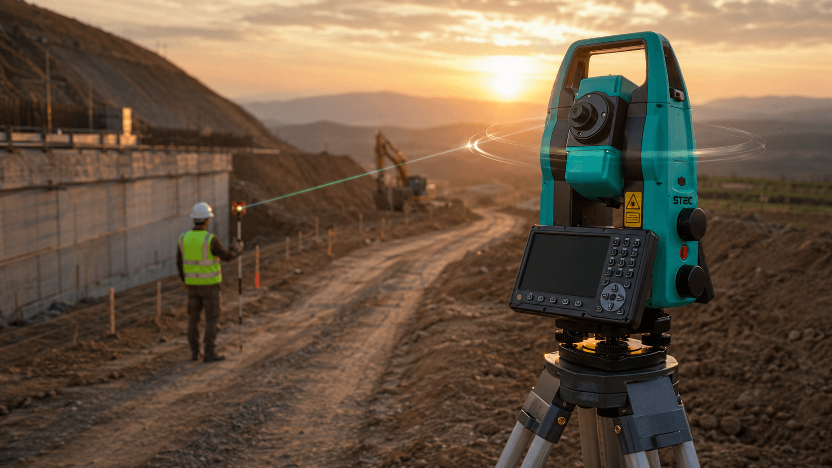
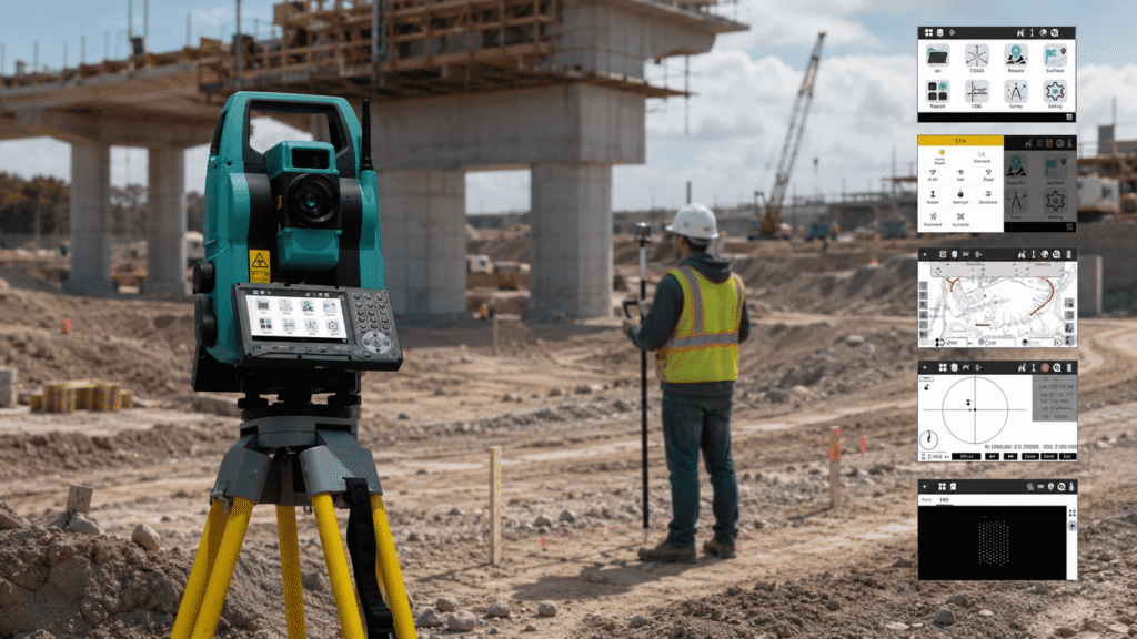
Robotic Field Operation
Enables surveys, stakeouts, and measurements with greater agility, optimizing the surveyor's daily work.
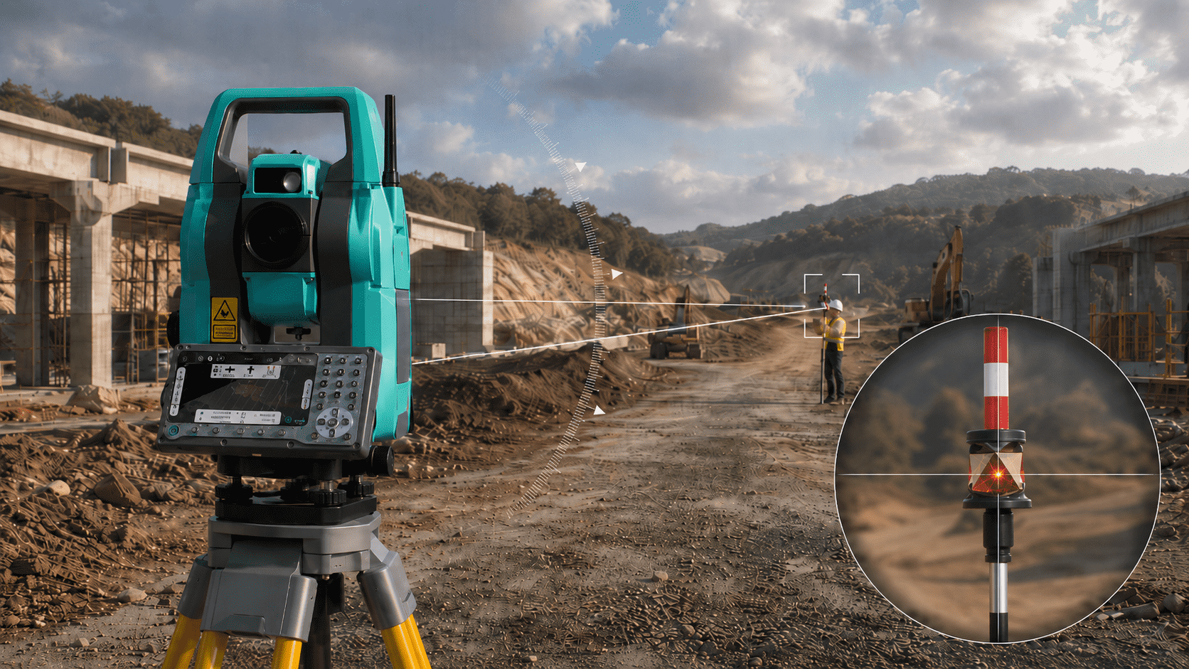
Prisma Search and Lock
Automatically recognizes, searches, and tracks the prism, helping to maintain continuous measurements and reduce time in the field.
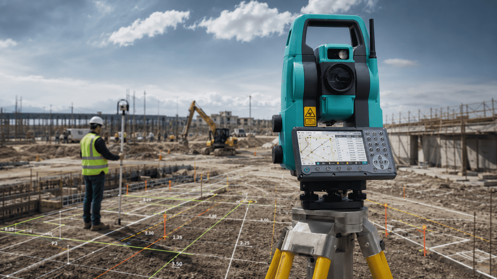
Full Field Software
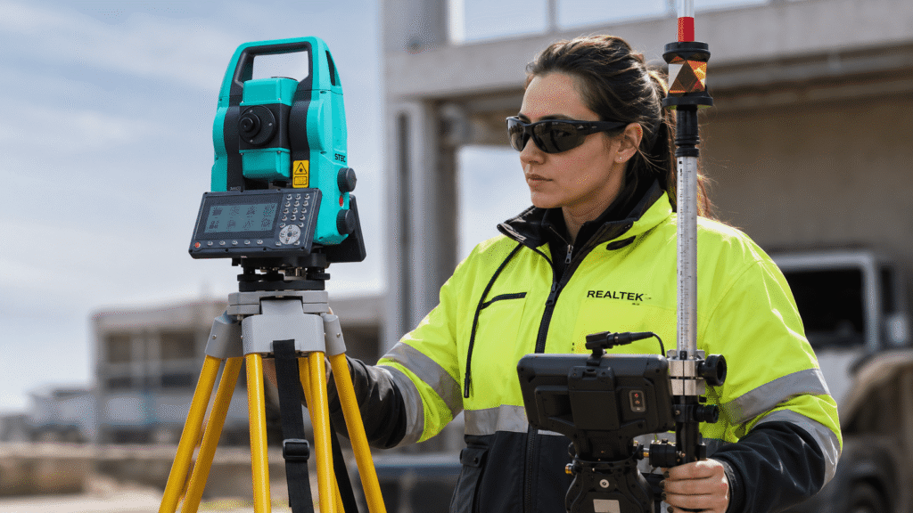
Integrate tools for measurement, staking, traverses, COGO, and CAD, facilitating a more organized workflow.
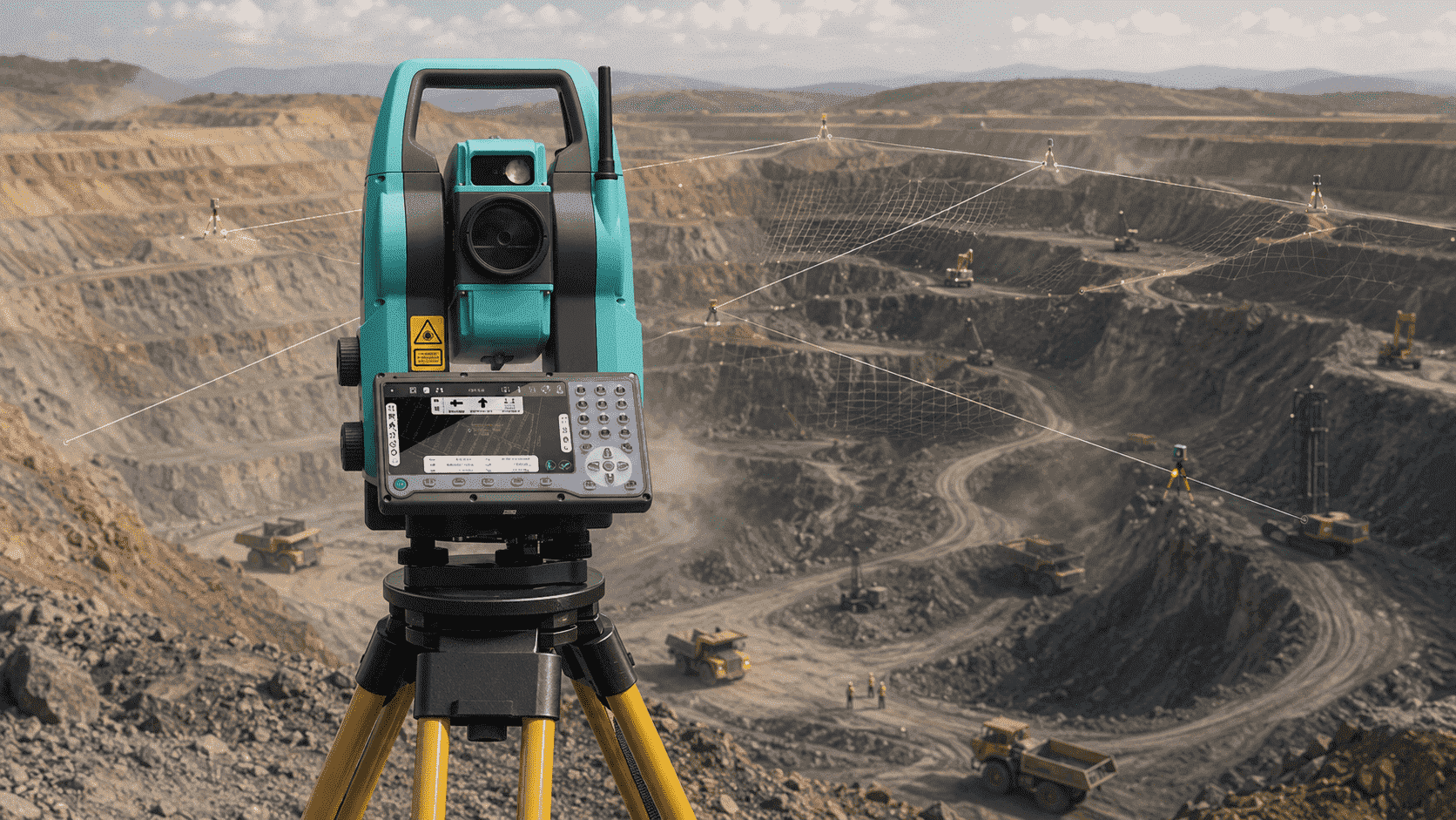
Control Point Monitoring
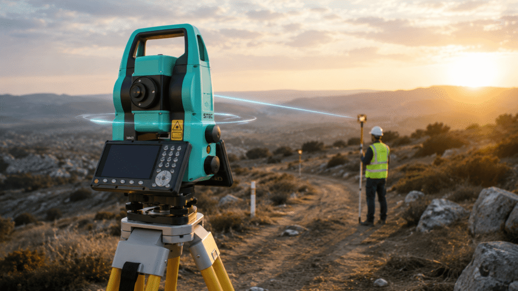
Allows measuring and reviewing strategic points in mining operations, supporting the control of slopes, tunnels and critical areas.
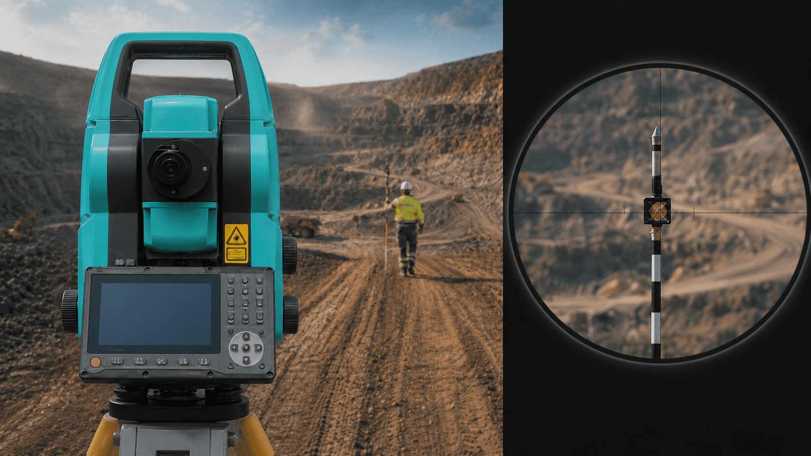
Prisma Search and Lock
Automatically recognizes and tracks the prism, reducing measurement times and making work easier in large or demanding sectors.
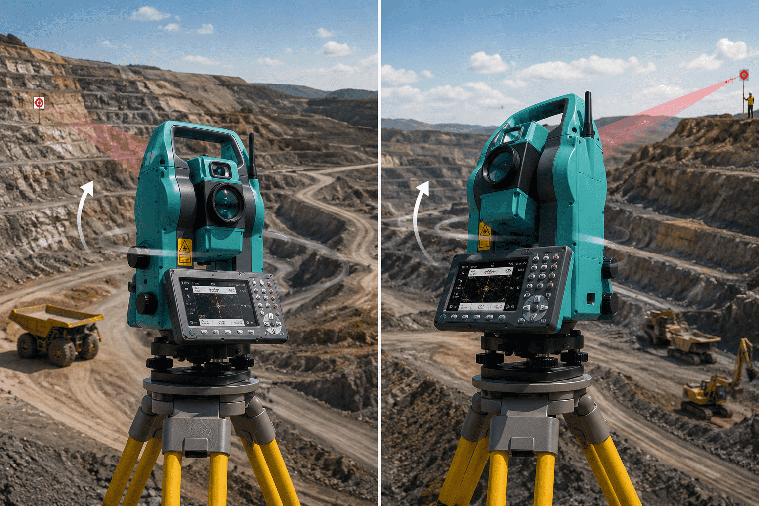
xTrak Rapid Motorization
Its rotation of up to 180°/s speeds up orientation changes, stakeouts, and measurement cycles in mining terrain.
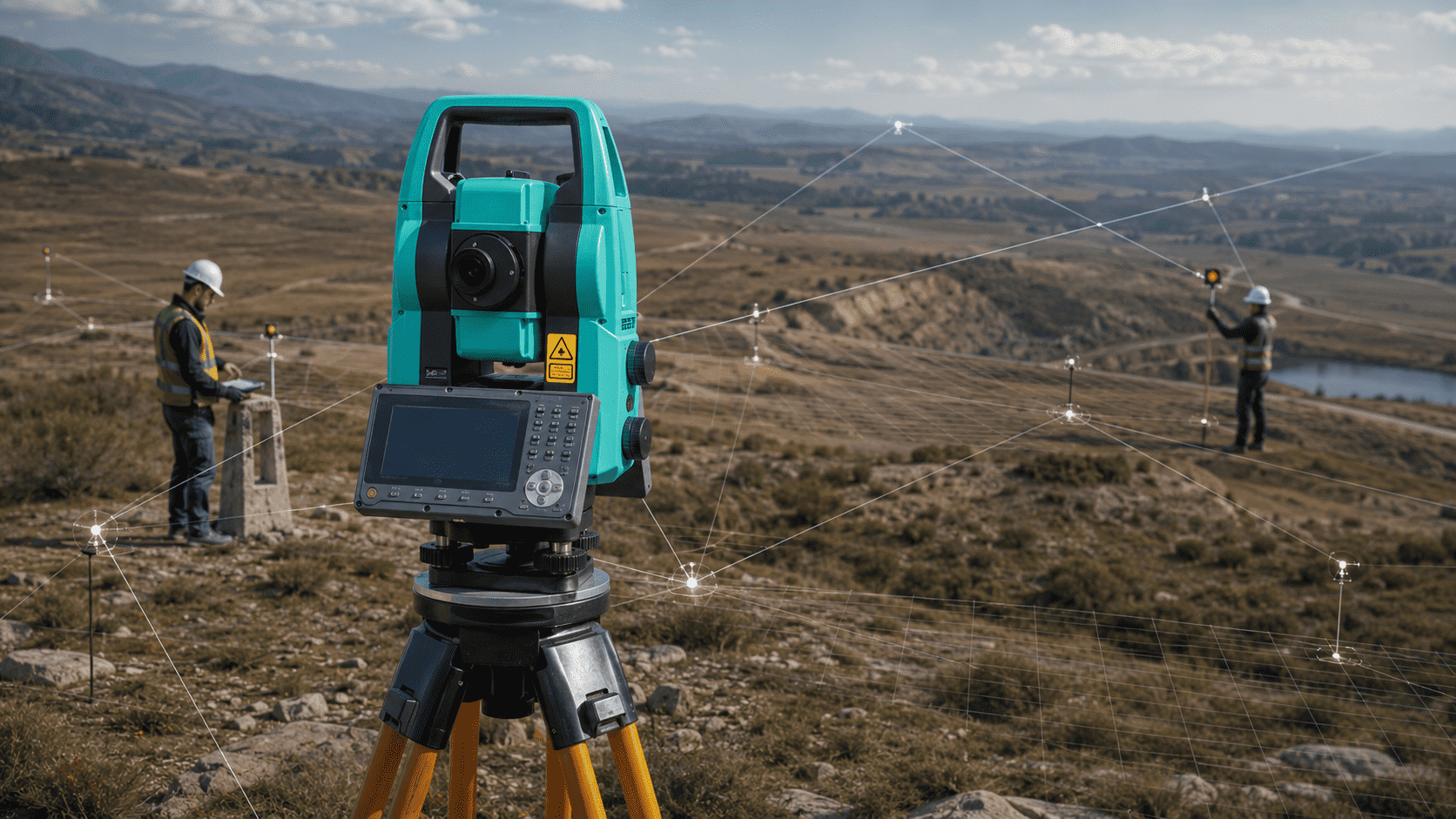
Precision for Geospatial Control
Allows raising reference points with high precision, supporting the generation of reliable maps, control networks, and cartographic bases.
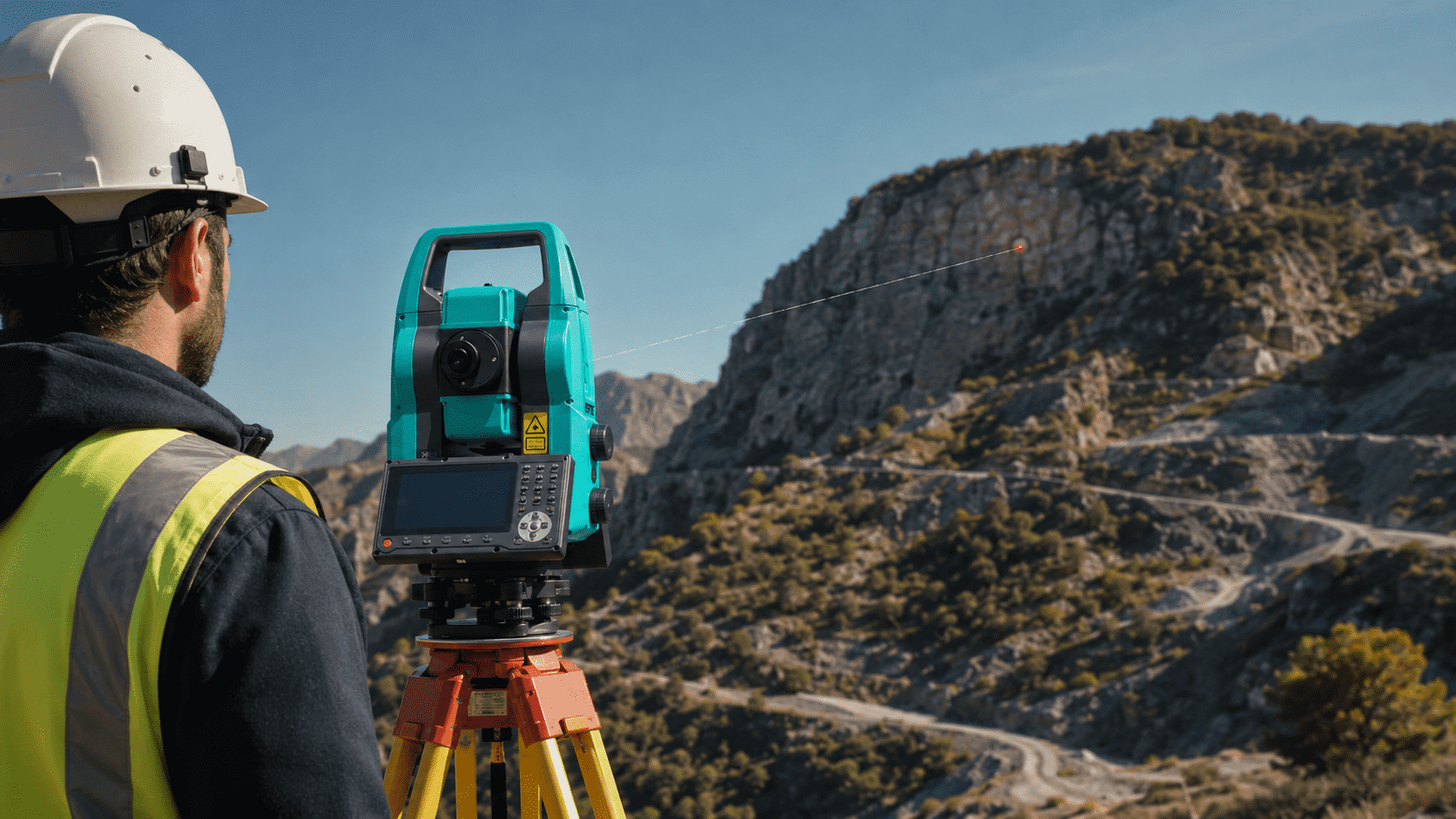
Measurement without Reflector
Capture remote points up to 1000 m without prism, ideal for recording references in hard-to-reach or low-intervention areas.
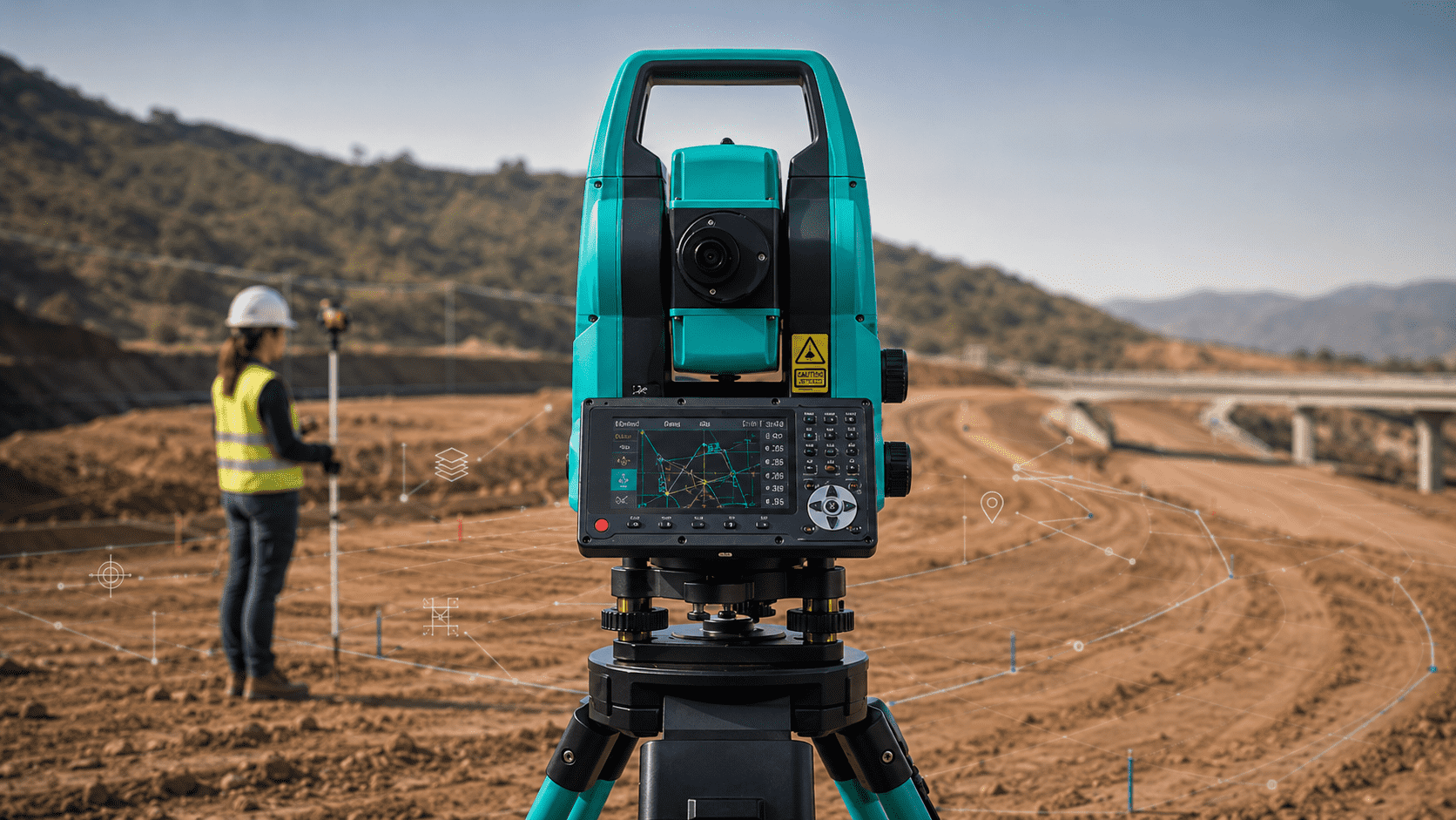
Software with CAD Flow
Integrates surveying, staking, COGO, and CAD tools in the field, facilitating the organization of cartographic data from capture.
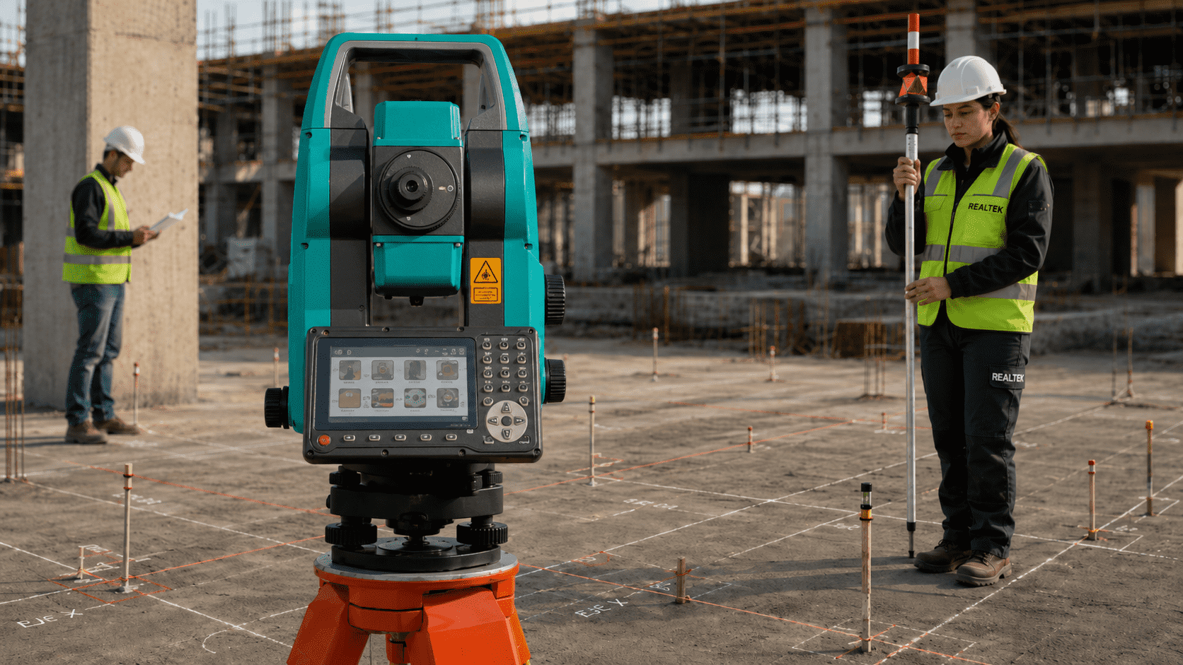
Precise Construction Layout
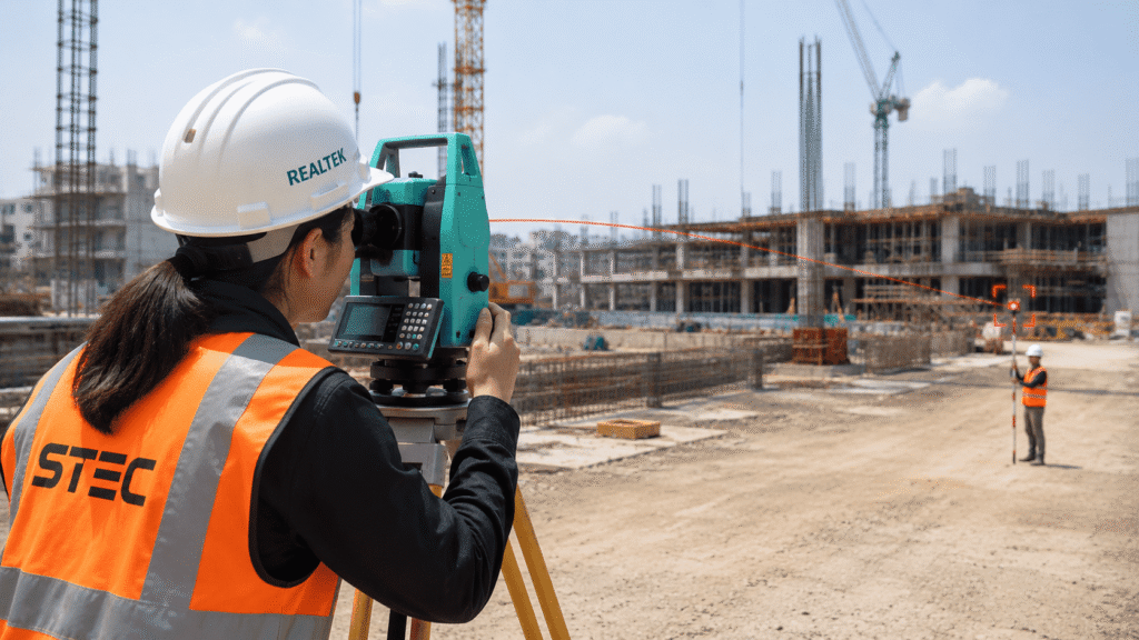
Allows marking axes, points, levels and references on the ground, supporting a more orderly execution in construction projects.
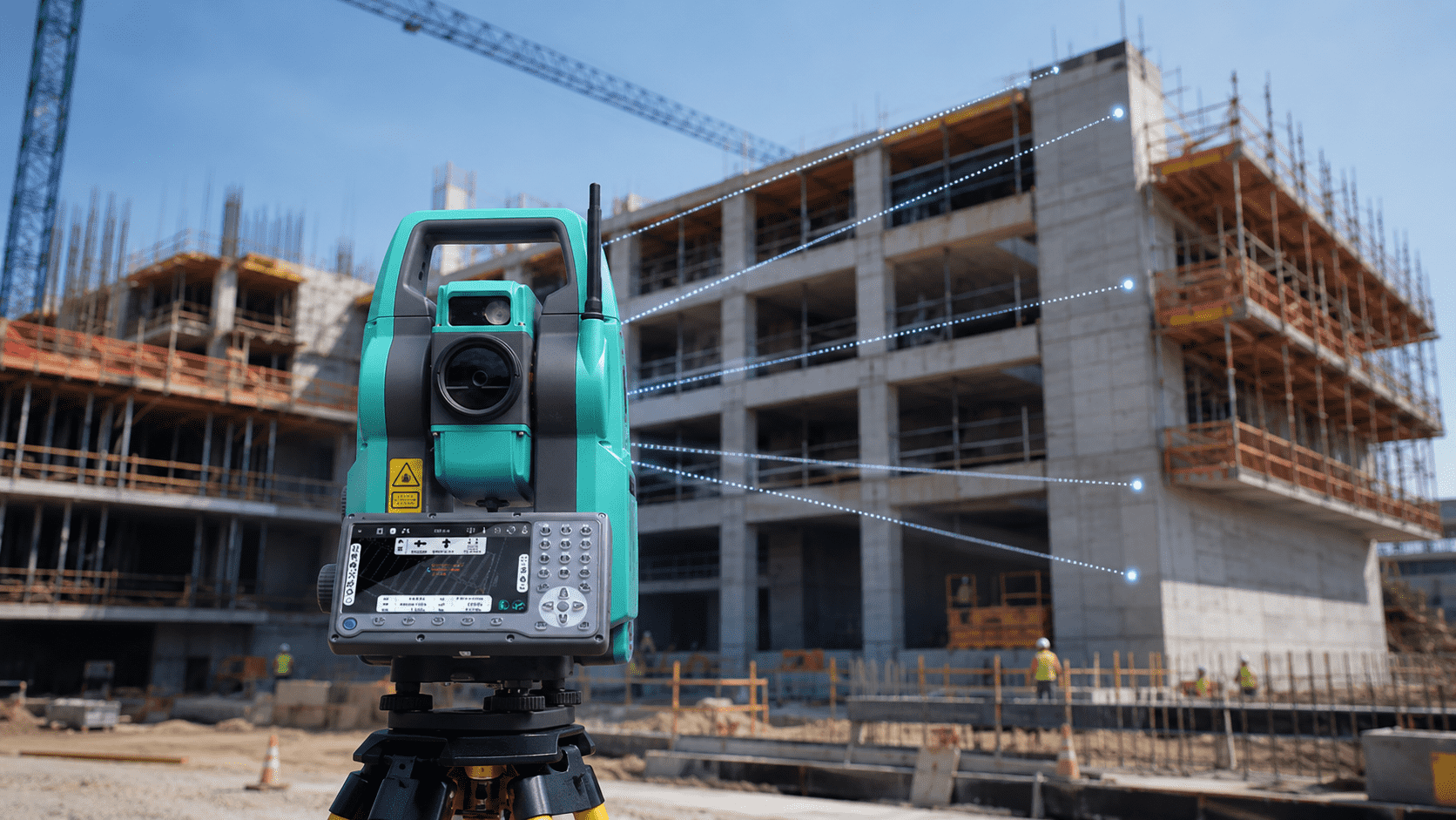
Measurement without Reflector
Captures points up to 1000 m without prism, ideal for measuring facades, structures, accesses or areas where it is not convenient to install a reflector.
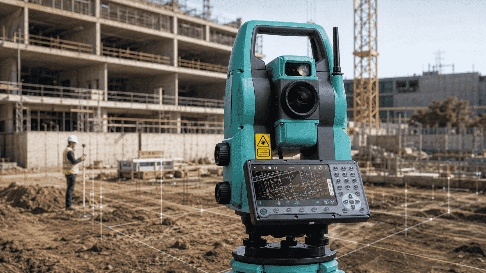
Software with CAD Tools
Integrates measurement, staking, COGO, and CAD functions, facilitating progress control and comparison with the project design.


Predefined codes

Survey and calculation
CAD as background
CAD visible and editable
AR stakeout with SV1
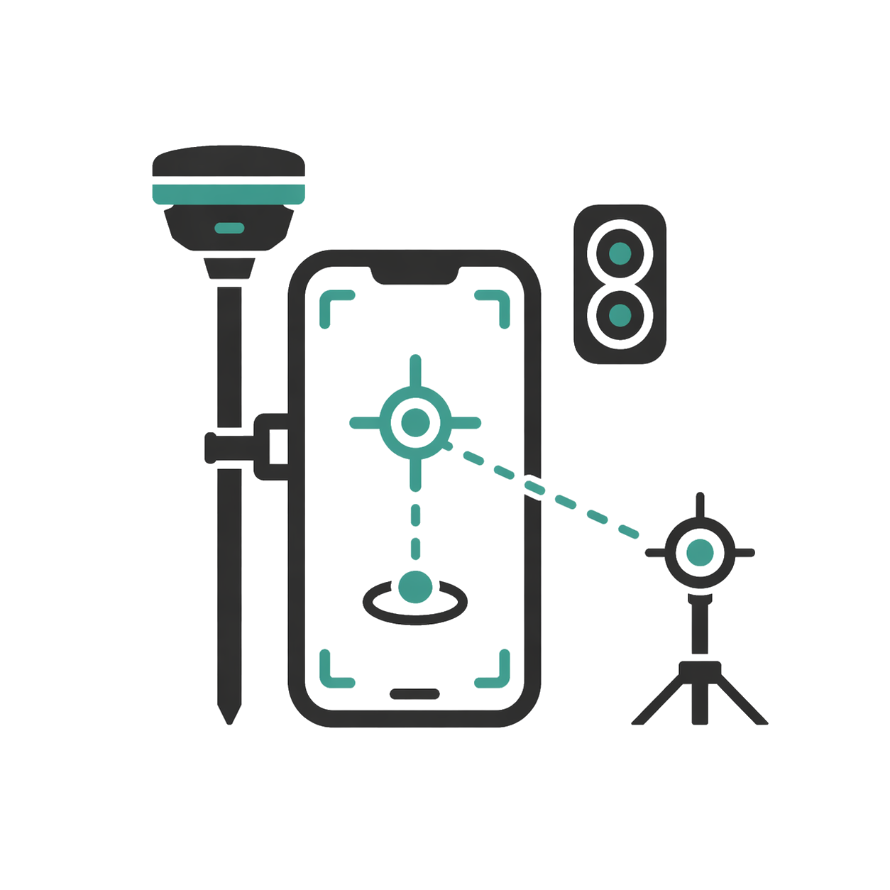
AR stakeout with SDi

Real-time results
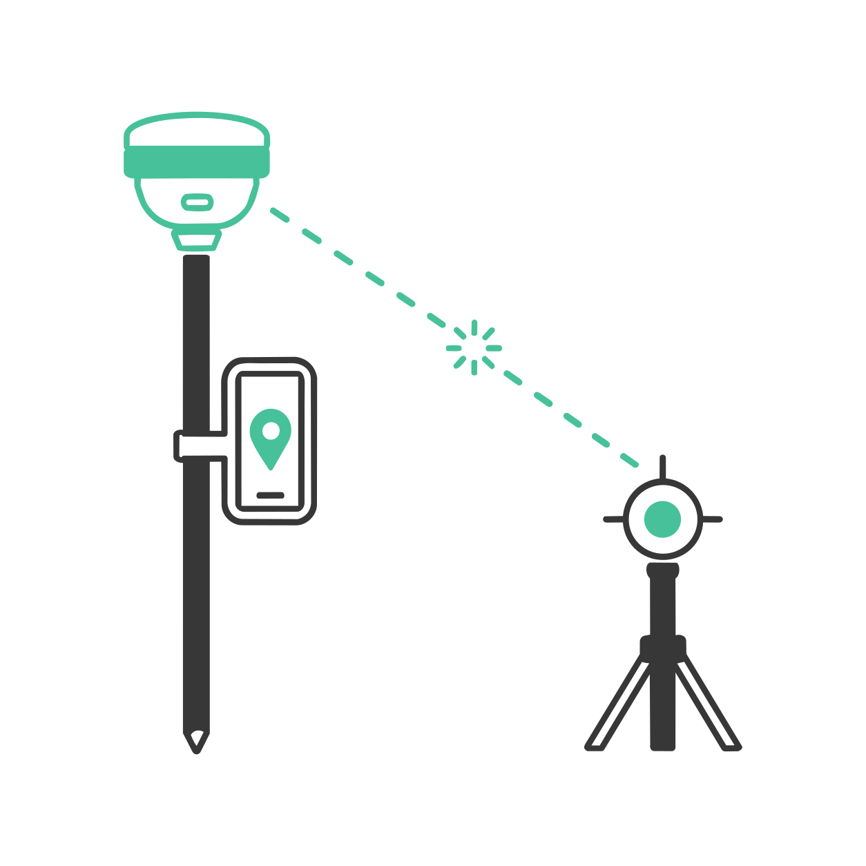
Laser measurement with SDi
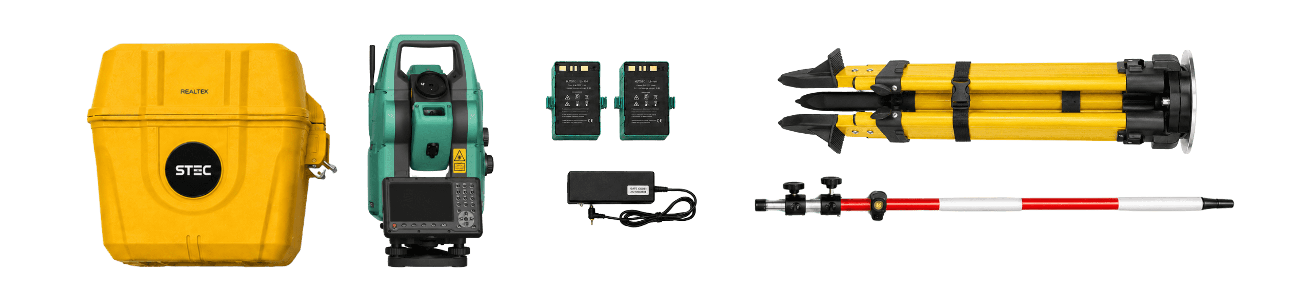
Read contents list

Product warranty
Access to product training course
Exclusive Level 1 discounts
Direct training with our support team
Included in your purchase 12 months

In-person and online training
Factory and Realtek warranty
Official warranty and local Realtek support: diagnosis, coordination, and follow-up to get you back up and running quickly.
Yes. All our products include training through the free GoKeep program. Additionally, our support channel is always available to provide you with a quick response to any technical or commercial questions. You can find our WhatsApp contact directly in the footer of our website.
Yes, we ship to different regions of the country. The cost and delivery time may vary depending on the municipality or region of destination.
No, the published prices are net and VAT is added at checkout.