GNSS measurement in
the field, easier

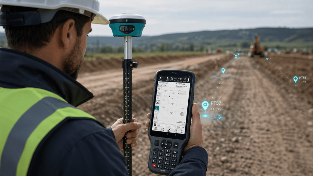
Simplify GNSS surveying and staking out on site, delivering a faster, more visual and efficient measurement experience.

STEC Field Master

Direct field management
Allows capturing, recording and managing information directly in the field, reducing dependence on subsequent office processes.
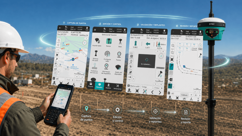
Simplified workflow
It brings together multiple operational tasks in a single platform, facilitating daily work and reducing the complexity of the field process.
Reduction of closing times
Streamlines data validation and consolidation, allowing work stages to be completed more quickly and moving forward sooner to deliver results.
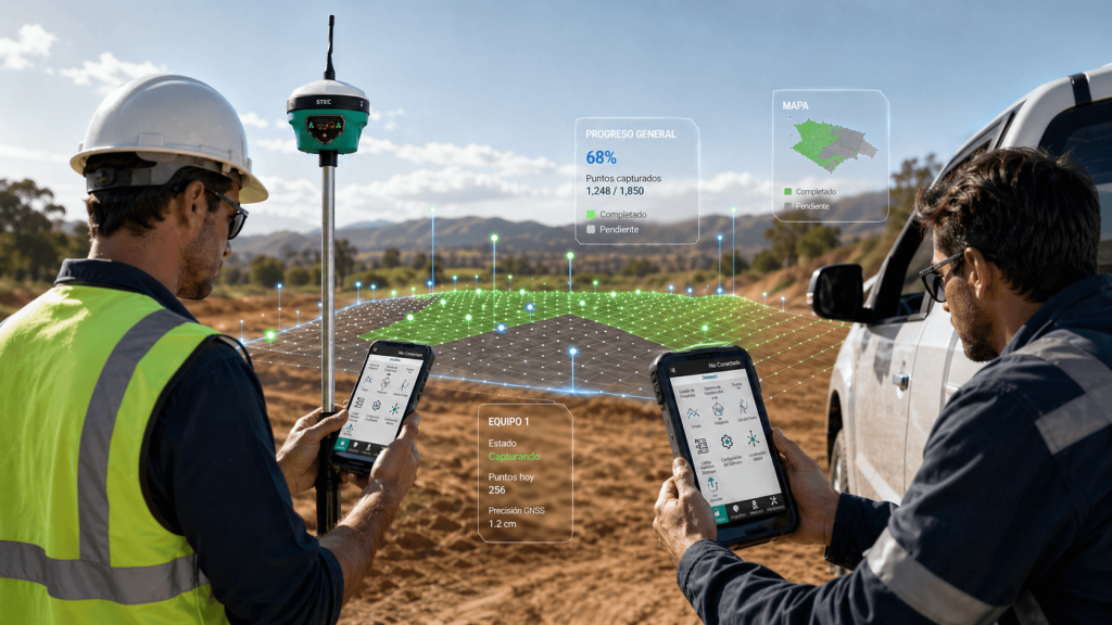
Greater operational control
Facilitates real-time activity tracking, providing greater visibility into progress and enabling informed decision-making during execution.

Total control of
field data collection

Unlimited features

Predefined codes

Preset codes and inputs simplify map drawing in the field.

Survey and calculation

From the app, you can collect points, stake out, edit, and calculate directly.

CAD as background

Allows using CAD files as a background layer to guide surveying or staking out.

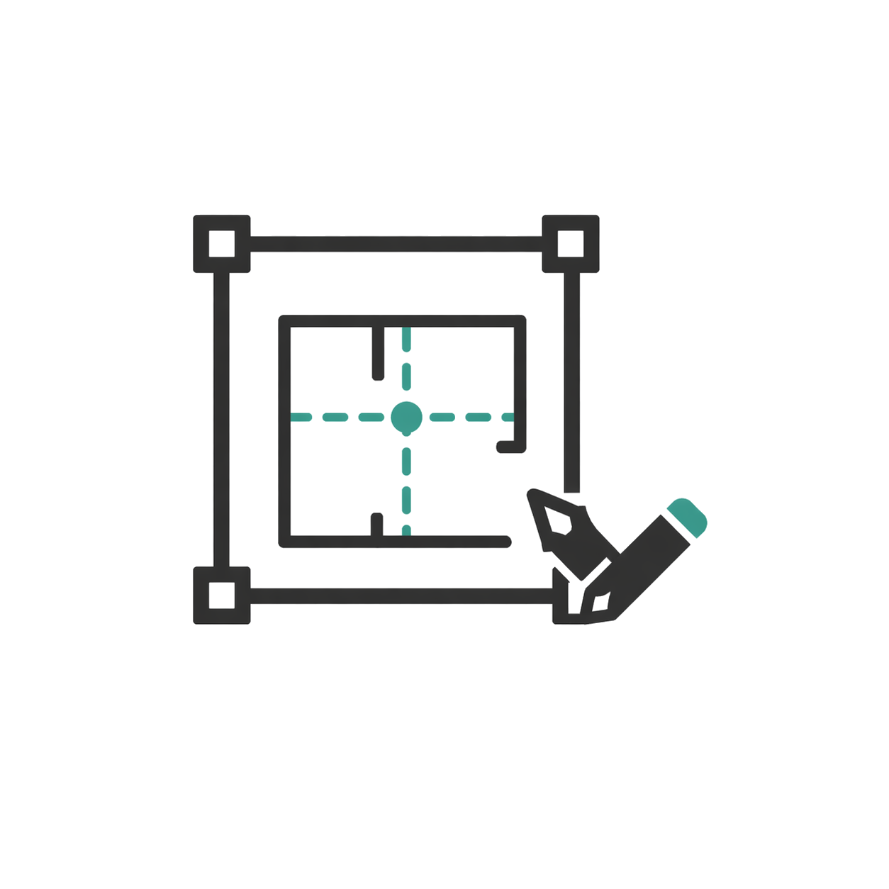
CAD visible and editable

Offers good visualization and CAD editing capabilities in the field.

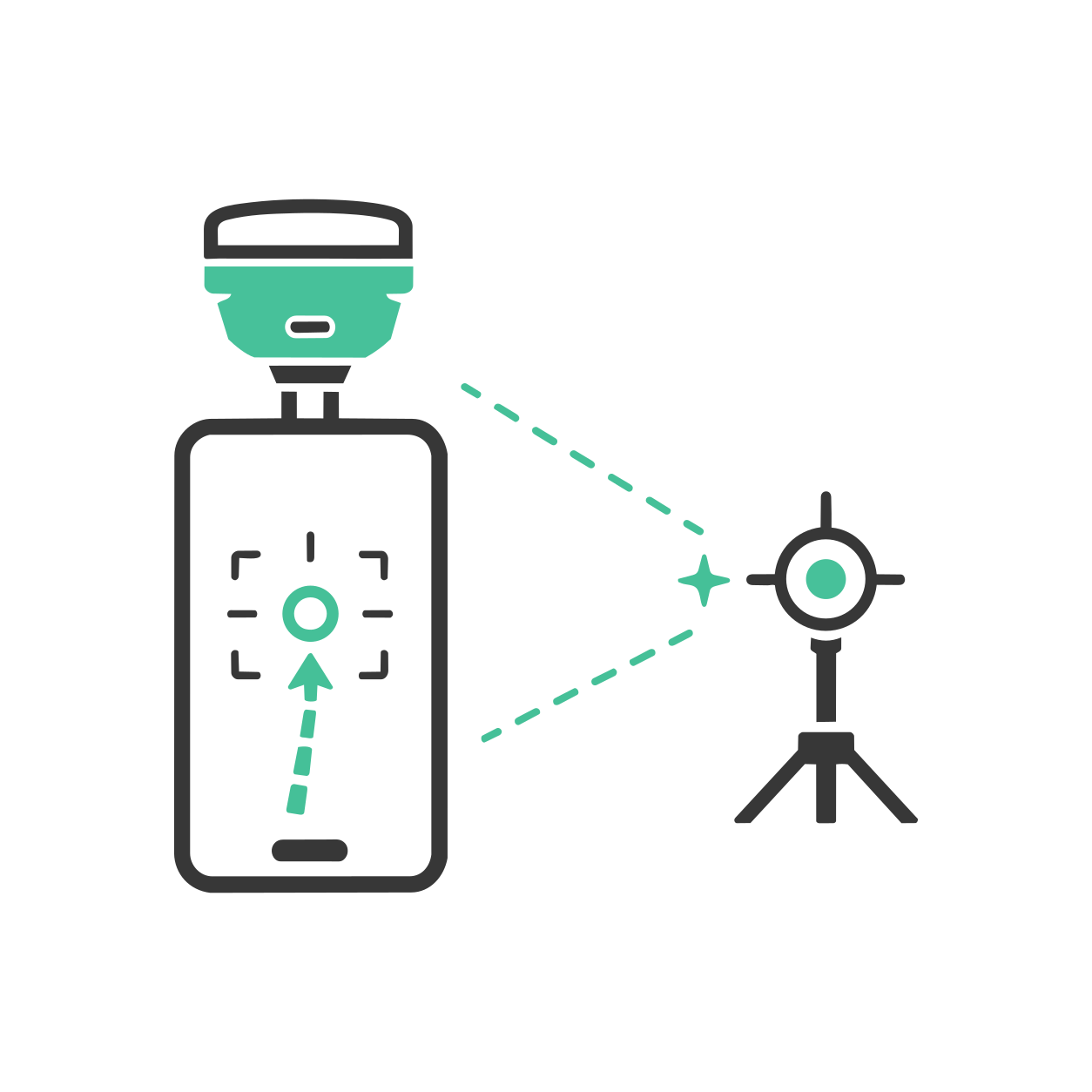
AR stakeout with SV1

It also supports AR staking out on SV1 with a single camera to guide to the exact point.

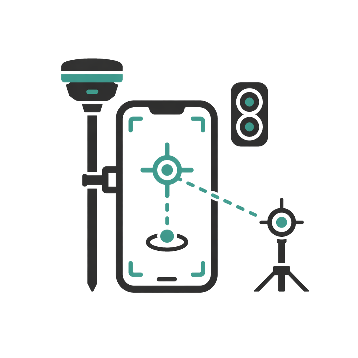
AR stakeout with SDi

Delivers an augmented reality staking out experience using SDi with dual camera.

Real-time results

Shows results and images in real time directly on the phone.

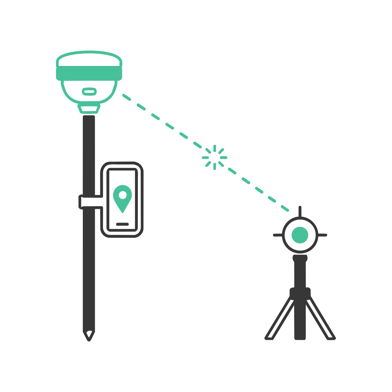
Laser measurement with SDi

Helps the SDi receiver obtain correct points through laser distance measurement.

Minimum requirements

Operating system

Android

CPU

8 cores 2.0 GHz*

RAM

4 GB*

GPU

Not applicable

+200 functions that will make your work much easier.

Leader and recognized
worldwide

Recognized for optimizing GNSS fieldwork with a visual, agile experience designed especially for STEC receivers.

Over 200 satisfied customers.

It is not a coincidence.

Do you have questions?

Do you have questions?

STEC Field Master is a field application for working with STEC GNSS equipment. It allows surveying, staking out, measurements, and visualization of information directly on site. It is designed to facilitate the work of the topographic operator, combining GNSS data, CAD, augmented reality, and measurement tools depending on the equipment used.
Yes. Field Master allows using CAD files as a reference in the field, making it easier to survey points, stake out elements, review information, and work with greater connection between office and field. This is especially useful in construction, surveying, engineering, and infrastructure.
Yes. Field Master incorporates staking functions with augmented reality on compatible equipment. This allows guiding the operator in a more visual and intuitive way to the point to be staked, reducing confusion and making field work more efficient.
Yes, in combination with compatible equipment such as the STEC SDi GNSS laser, Field Master supports point capture using laser measurement. This is useful when the point is difficult to reach directly, for example in hazardous areas, facades, edges, obstacles, or places where it is not practical to physically position oneself on the point.

Yes. All our products include training through the free GoKeep program. Additionally, our support channel is always available to provide you with a quick response to any technical or commercial questions. You can find our WhatsApp contact directly in the footer of our website.

Yes, we sell to customers throughout Chile. Since it is software, the activation code is sent by email along with the certificate, installers, and access to courses.

No, the published prices are net and VAT is added at checkout.

Talk to an advisor

Response in less than 5 minutes.

Unleash their potential

Experts in precision

Discover more solutions by category.

GNSS Systems

Laser Scanner

Cameras

Total Stations

Detection Systems

Levels

Software