3D Photogrammetry
fully accurate

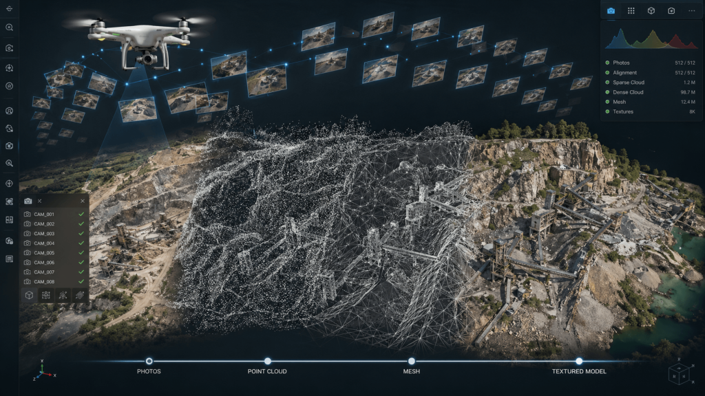
Convert images into 3D models, orthomosaics, and precise geospatial data, optimizing professional photogrammetry projects with reliable results.

metashape
metashape

Agisoft Metashape

Accurate environment reconstruction
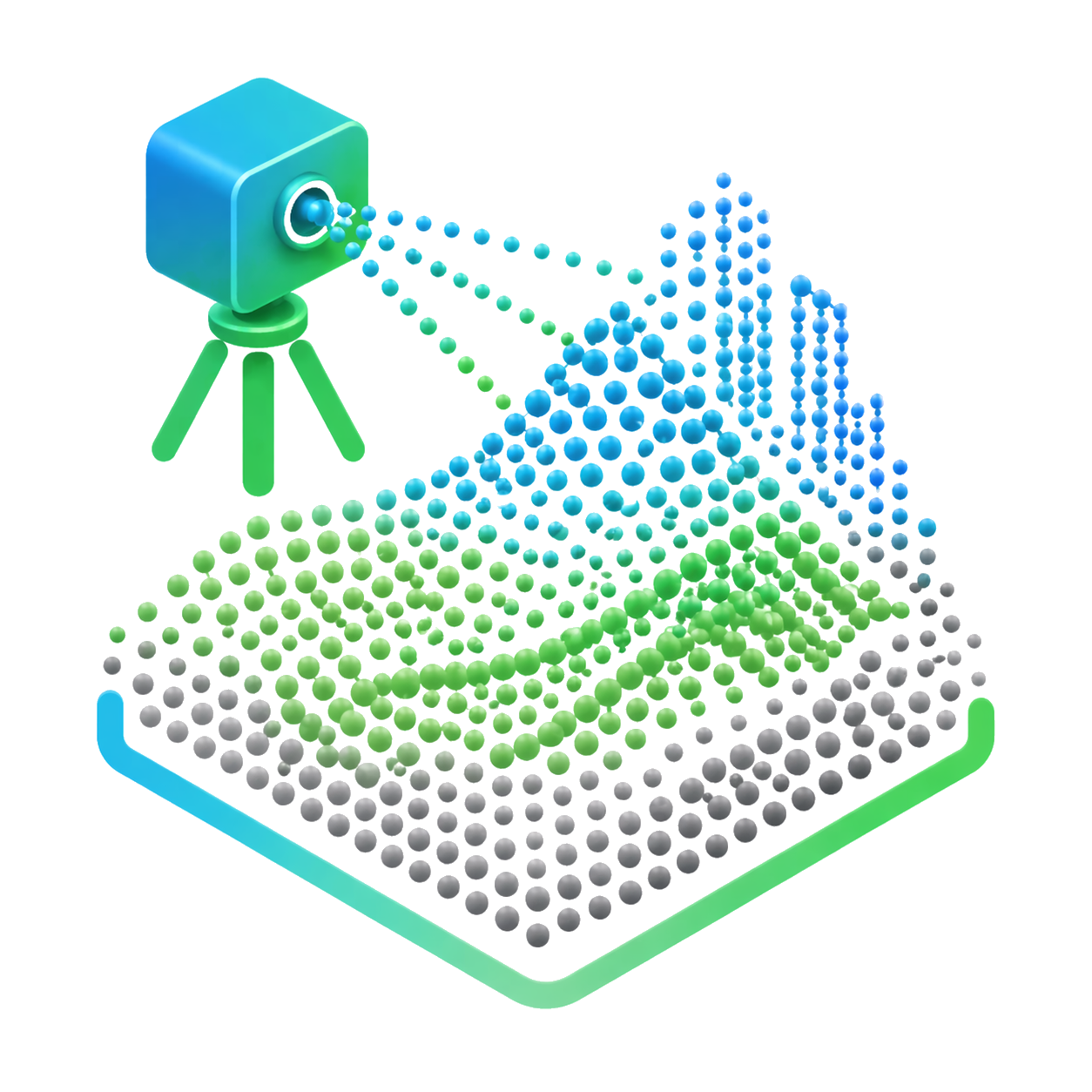
Transform images captured in the field into detailed and reliable 3D models, allowing analysis of geometries, surfaces, and real conditions with high precision.
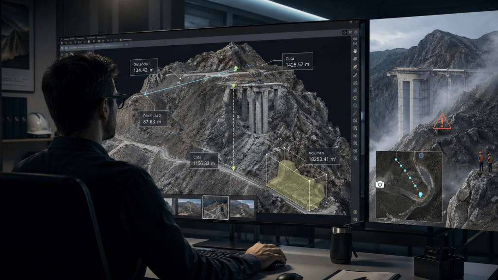
Contactless measurement
Enables precise measurements directly from digital models, facilitating analysis of complex, restricted, or hard-to-reach areas without exposing the team in the field.
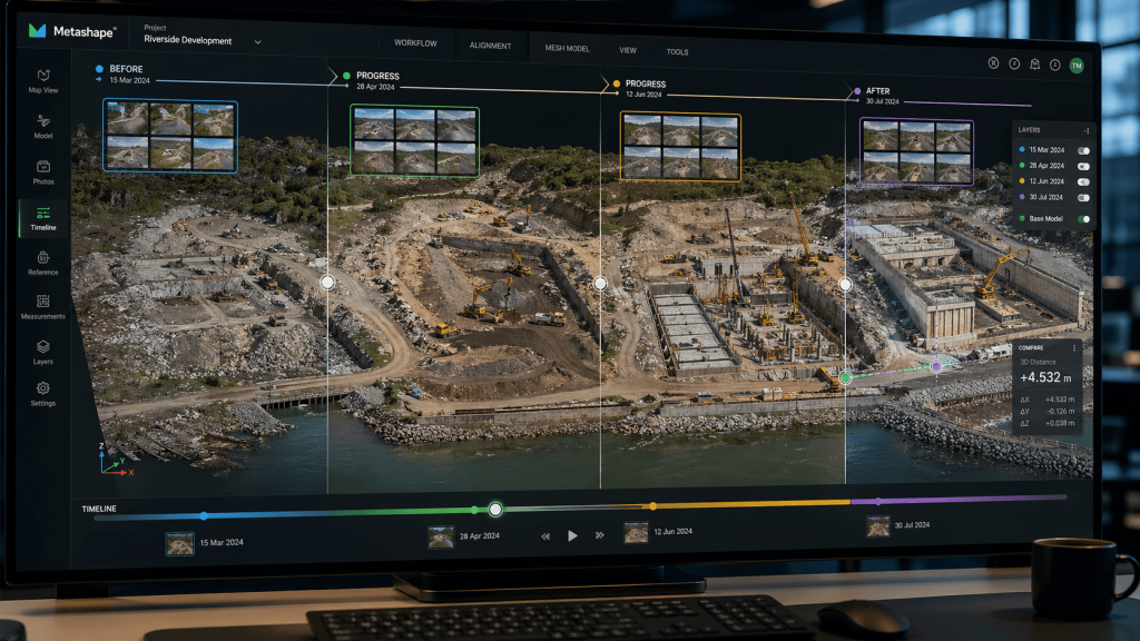
Complete visual documentation
Generates a detailed visual backup of the project, useful for audits, technical reviews, progress tracking, and comparing information across different stages.
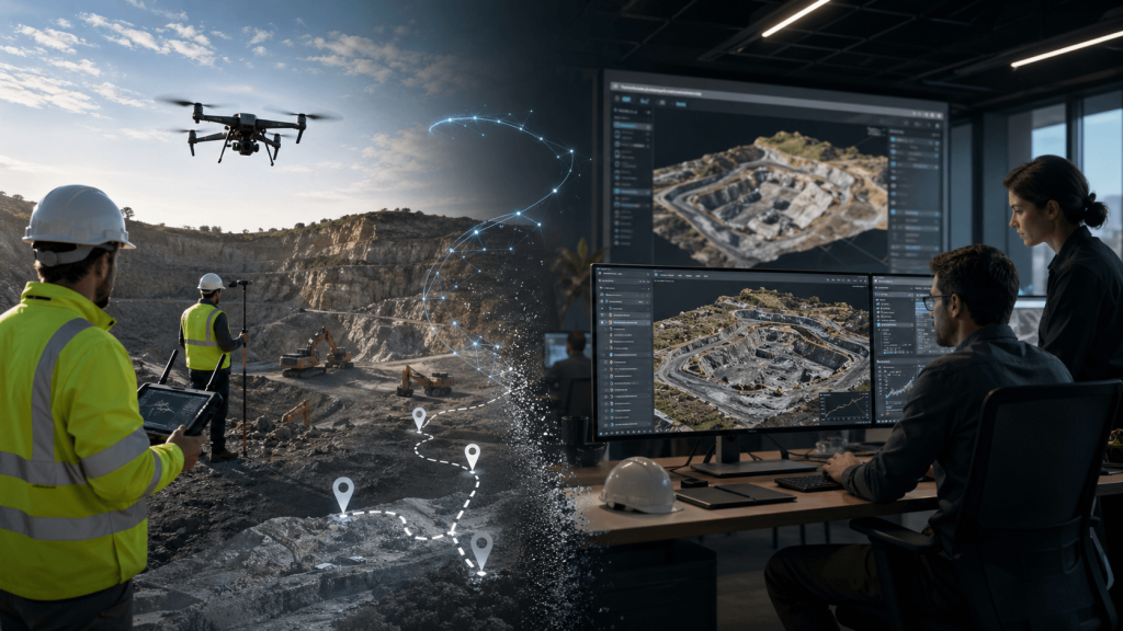
Optimization of resources on site
Reduces the need for additional visits, survey times, and use of operational resources, helping to execute projects more efficiently and cost-effectively.

Convert images
into 3D reality

Unlimited features

Classified dense cloud

Generates dense clouds and allows editing and automatically classifying points to refine results and prepare cleaner deliverables.

Editable DSM and DTM

Creates DSM/DTM surfaces and allows editing DEM with breaklines and fill tools, very useful in topography, mines, and earthmoving.

Robust georeferencing

Georeferenced with EXIF, flight logs, and GCPs, with support for configurable EPSG and vertical datums.

Georeferenced orthomosaic

Generate true or DTM-based orthomosaics for cadastre, construction inspection, agriculture, and land monitoring.

Multispectral and NDVI

Process RGB, NIR, thermal, and multispectral images, and calculate indices like NDVI for vegetation analysis.

LiDAR support

Accepts LiDAR data within the workflow, combining photogrammetry and scanning for more complete models.

Power line detection

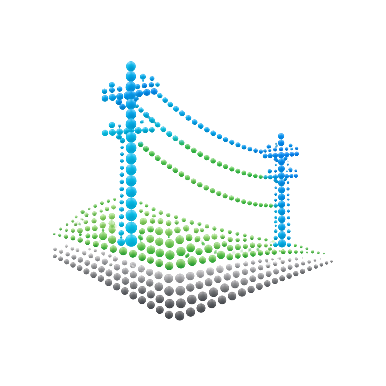
Detects power lines from aligned images and exports each cable as a 3D polyline.

API automation

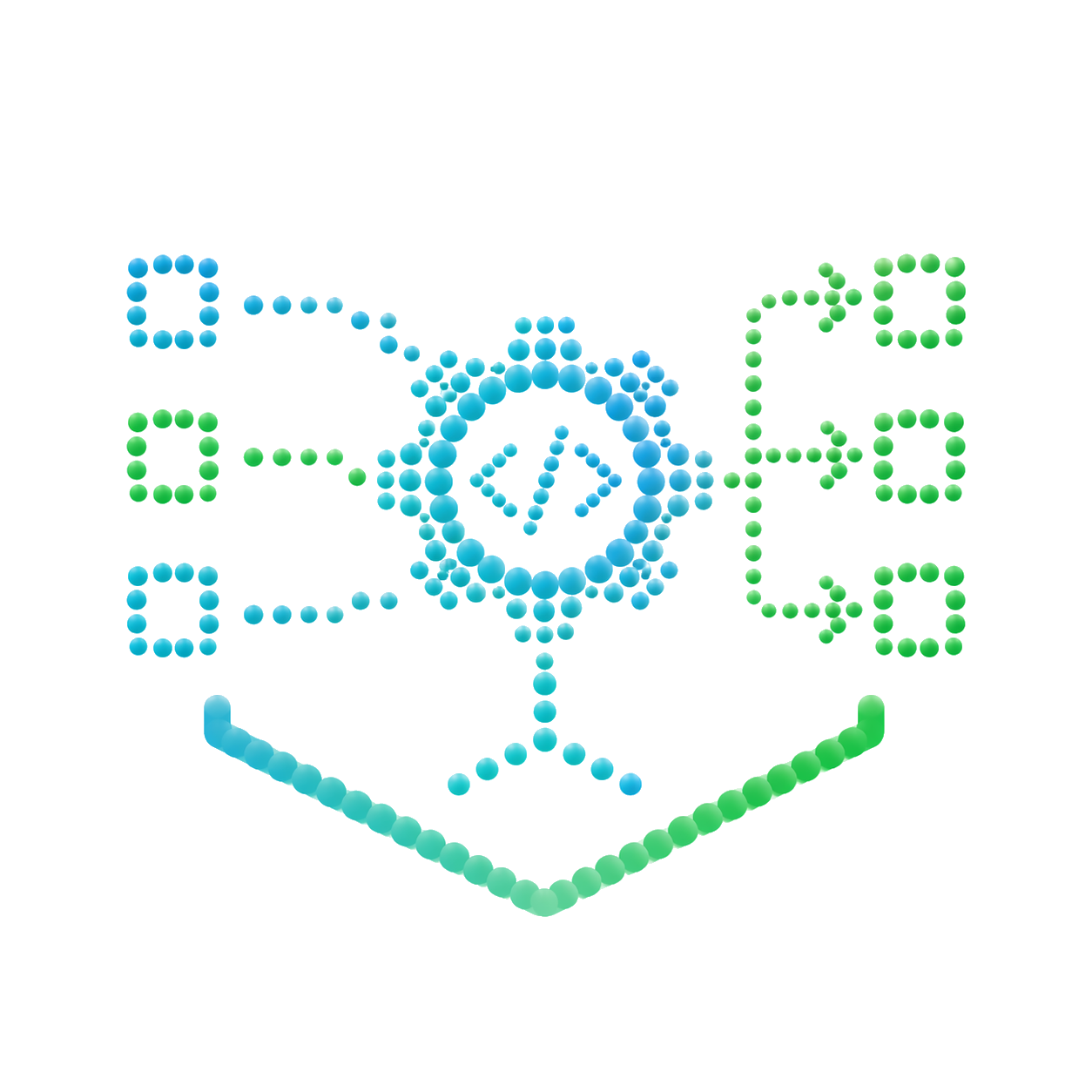
Includes Python, Java, batch, GPU, and network processing to scale large and repetitive projects.

Minimum requirements

Operating system

Win / macOS / Linux

CPU

4–12 cores, 2.0 GHz+

RAM

16 GB

GPU

NVIDIA/AMD, 1024+ shaders

+200 functions that will make your work much easier.

Leader and recognized
worldwide

Internationally recognized for bringing professional photogrammetry to high-precision workflows in GIS, heritage, surveying and 3D modeling.

Over 200 satisfied customers.

It is not a coincidence.

Do you have questions?

Do you have questions?

metashape
Agisoft Metashape is a photogrammetry software that allows you to transform photographs into 3D information and geospatial products. From images captured with drones or cameras, it enables the generation of point clouds, 3D models, orthomosaics, and digital elevation models, useful for topography, mining, agriculture, inspection, cadastre, and infrastructure.
With Metashape you can generate orthomosaics, point clouds, textured 3D models, digital surface models, digital terrain models, and georeferenced deliverables. This allows you to convert a photographic capture into measurable and usable technical information for analysis, documentation, or decision-making.
Yes. Metashape is widely used in drone-captured projects, especially when processing aerial images to obtain maps, 3D models, or terrain information. It is a very useful tool for surveys, progress monitoring, surface measurement, terrain analysis, and orthomosaic generation.
No. The accuracy of the result depends on the software, but also on the quality of the capture, the overlap between images, the camera used, the flight altitude, the lighting, and the correct use of control points. Metashape provides professional tools, but a good capture methodology is key to obtaining reliable results.
Yes. Agisoft Metashape licenses are permanent, meaning the user acquires the software and can continue using it without being subject to mandatory monthly or annual payments for use. This makes it a very attractive alternative for companies seeking a stable investment in professional photogrammetry, especially for projects involving drones, surveying, mining, agriculture, inspection, and infrastructure.
The Agisoft Metashape license allows you to use the software to process images and generate products such as point clouds, 3D models, orthomosaics, and digital elevation models. Additionally, Agisoft provides technical support and updates under the official terms of its license, so it is advisable to always check the version and coverage in effect at the time of purchase.

Yes. All our products include training through the free GoKeep program. Additionally, our support channel is always available to provide you with a quick response to any technical or commercial questions. You can find our WhatsApp contact directly in the footer of our website.

Yes, we sell to customers throughout Chile. Since it is software, the activation code is sent by email along with the certificate, installers, and access to courses.

No, the published prices are net and VAT is added at checkout.

Talk to an advisor

Response in less than 5 minutes.

Unleash their potential

Experts in precision

Discover more solutions by category.

GNSS Systems

Laser Scanner

Cameras

Total Stations

Detection Systems

Levels

Software