FJD Trion V4e Combo

To quote
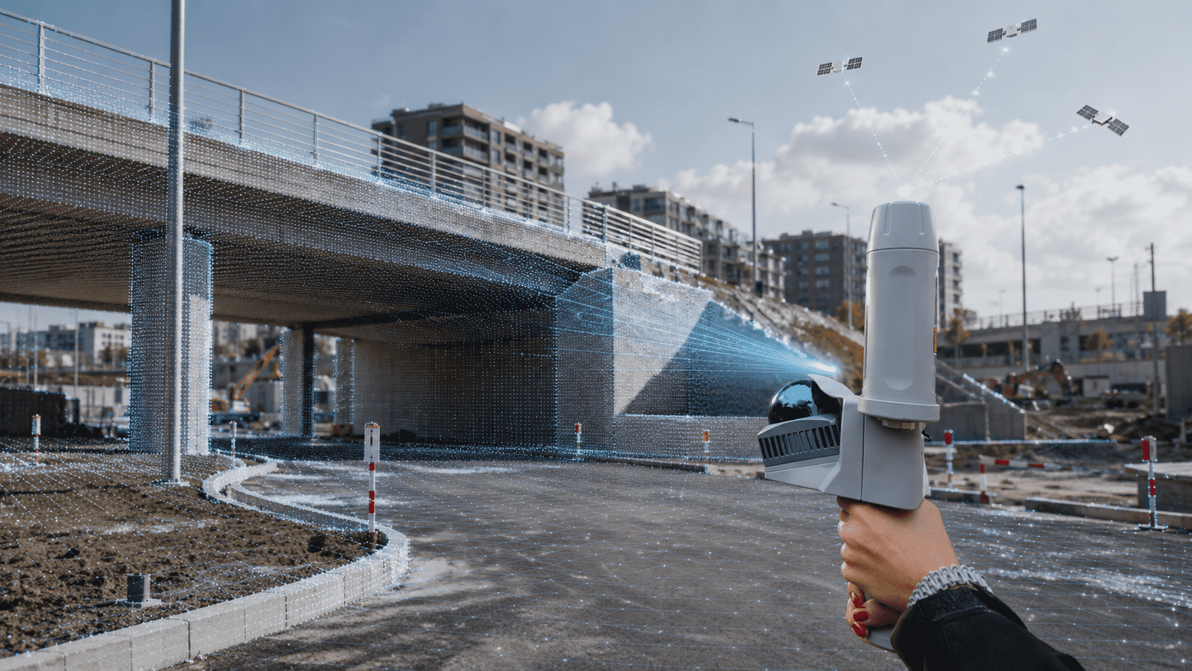
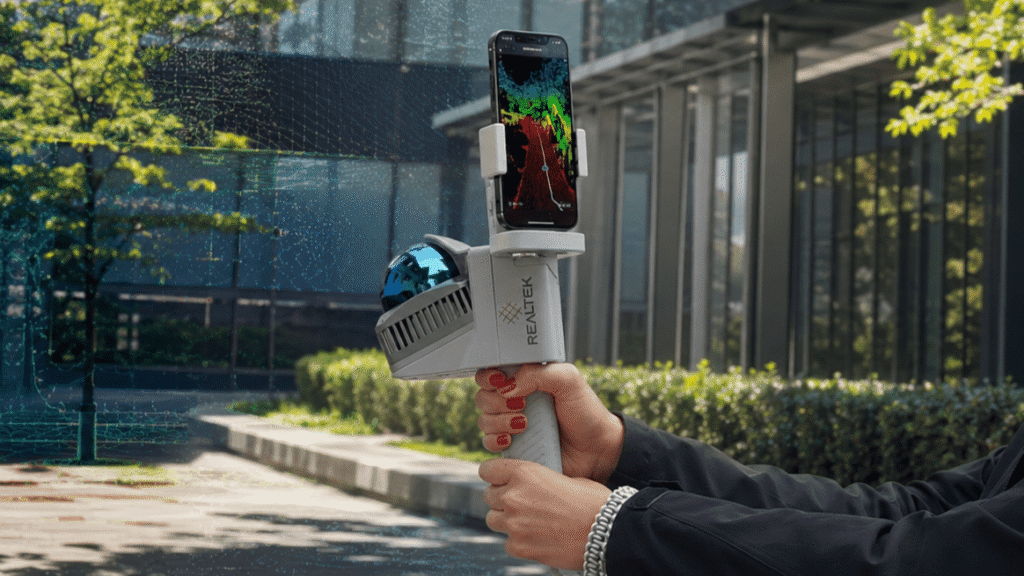
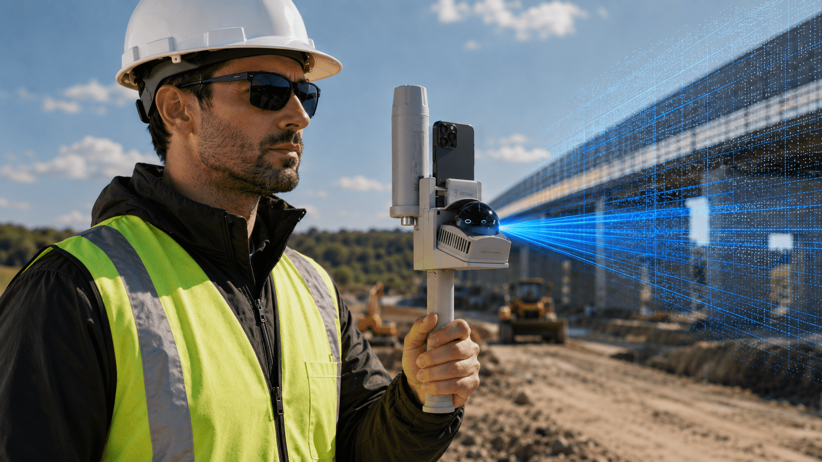
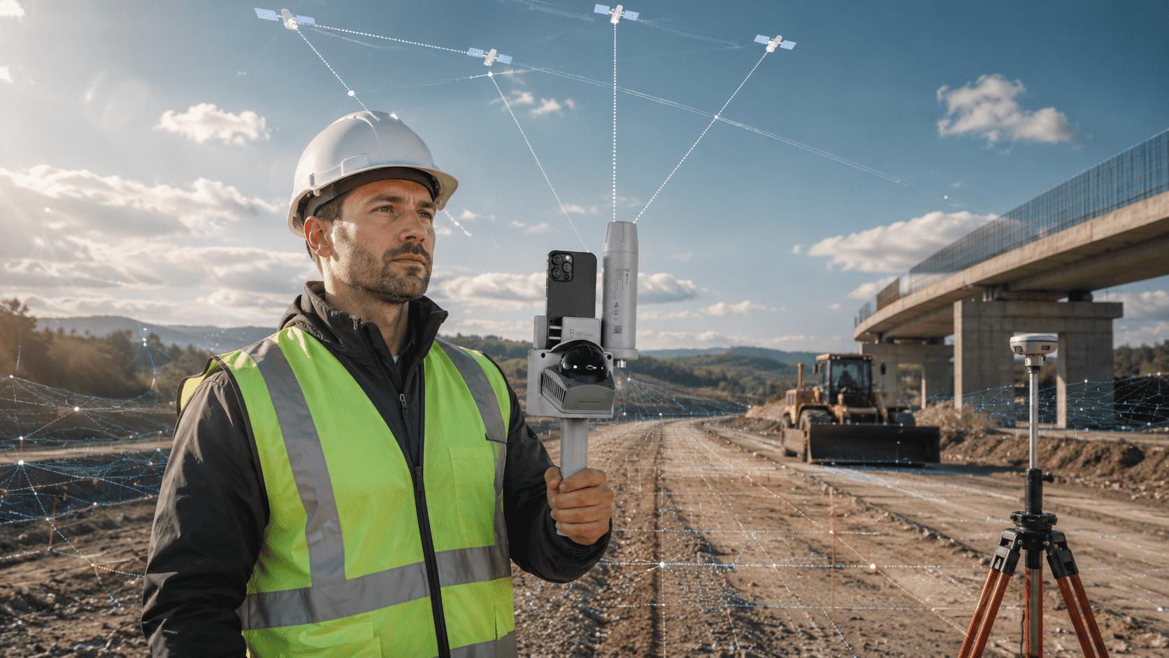
The FJD Trion V4e Combo combines a portable 3D LiDAR scanner with GNSS RTK positioning to capture indoor spaces and georeferenced outdoor surveys.

What makes it unique

LiDAR and RTK combined
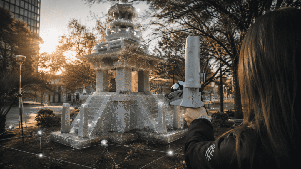
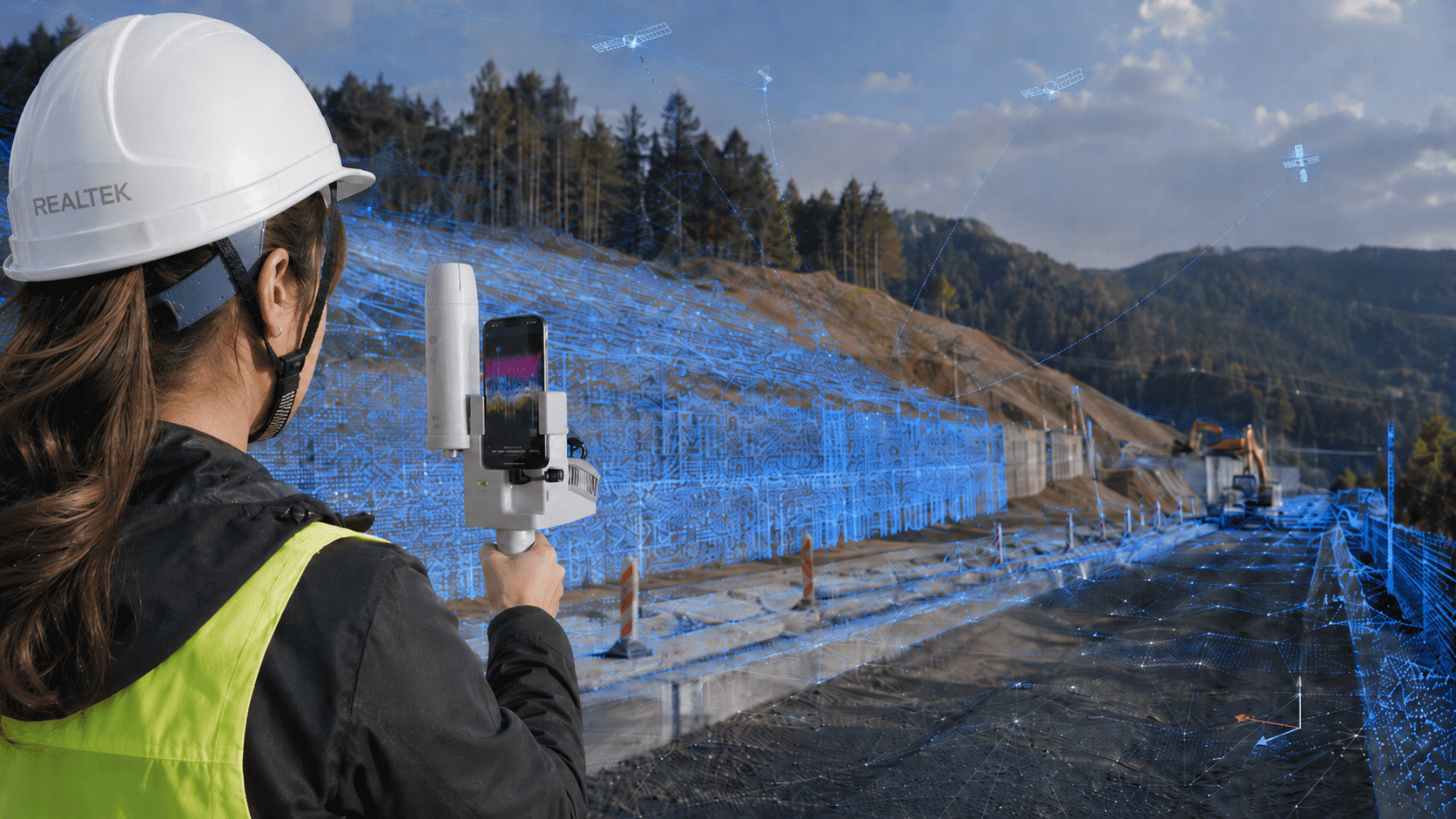
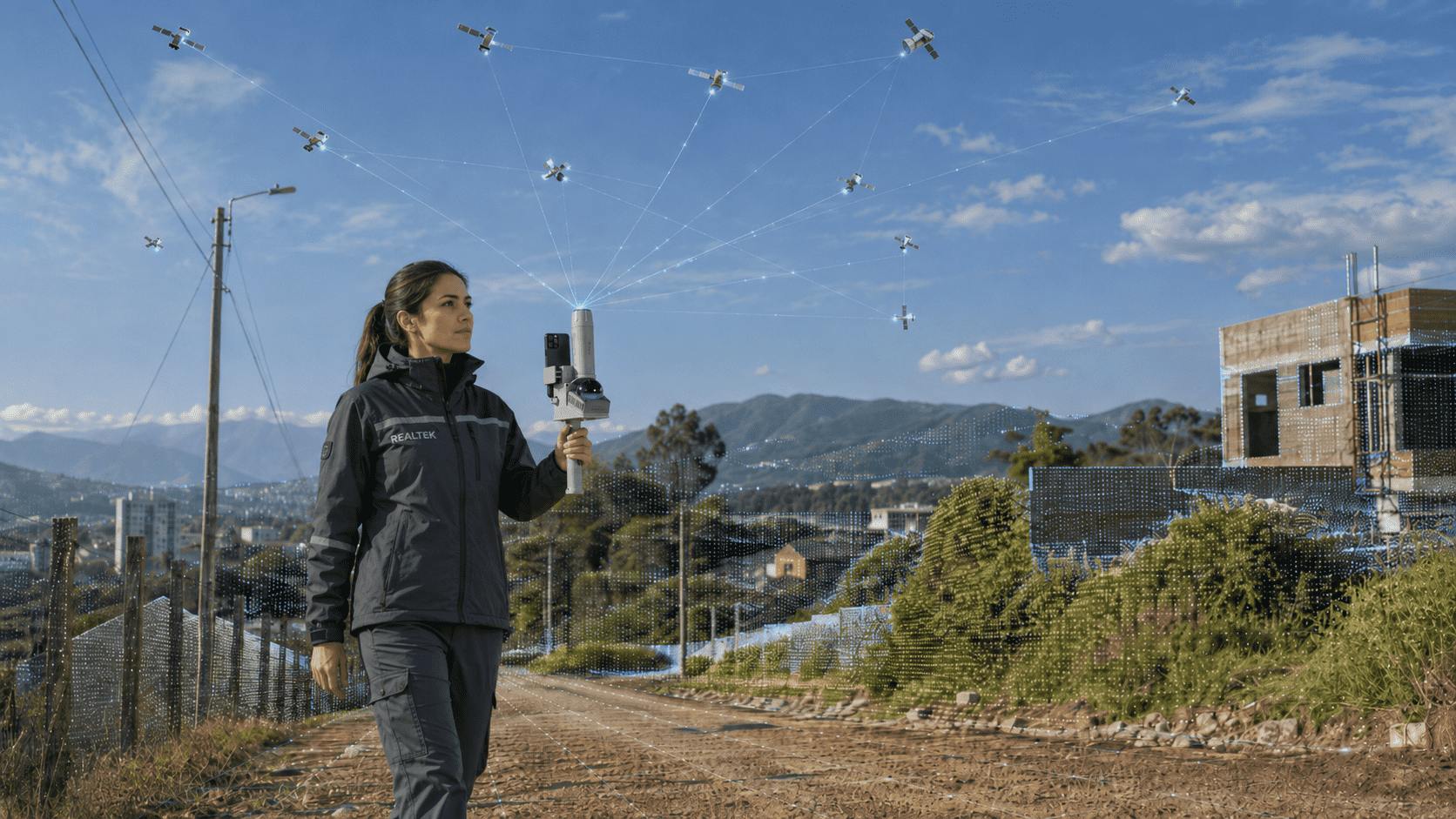
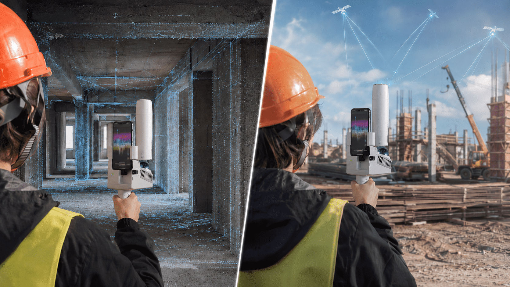
Integrate mobile 3D capture with GNSS RTK positioning to generate outdoor point clouds linked to real coordinates.
Indoor and outdoor
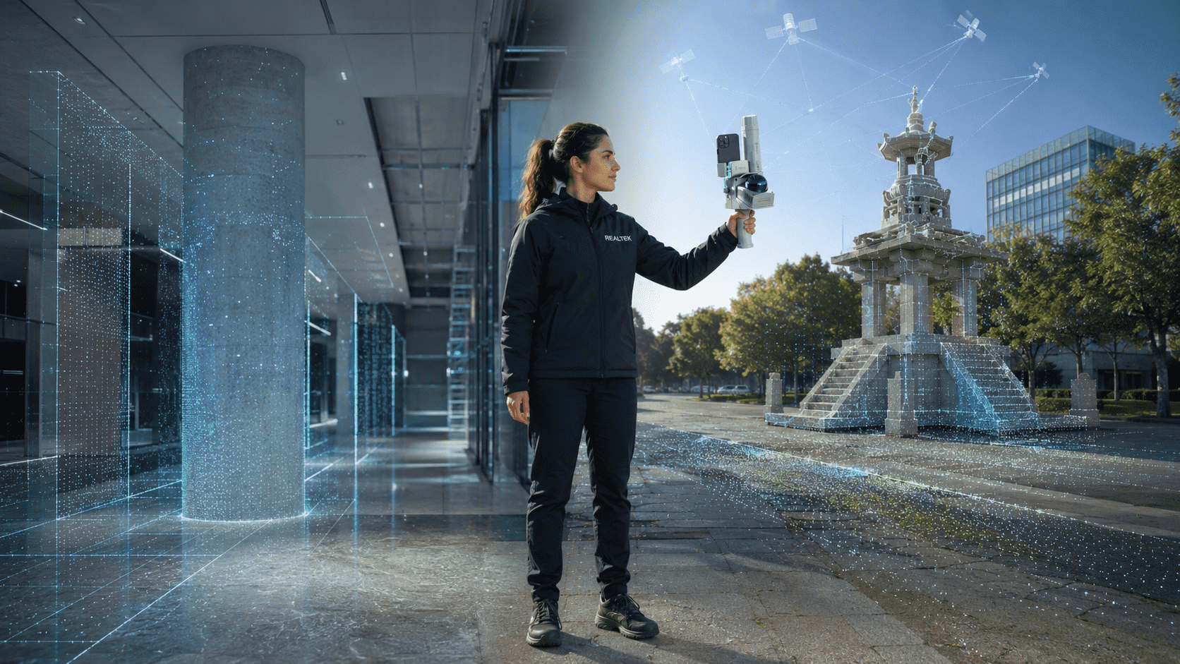
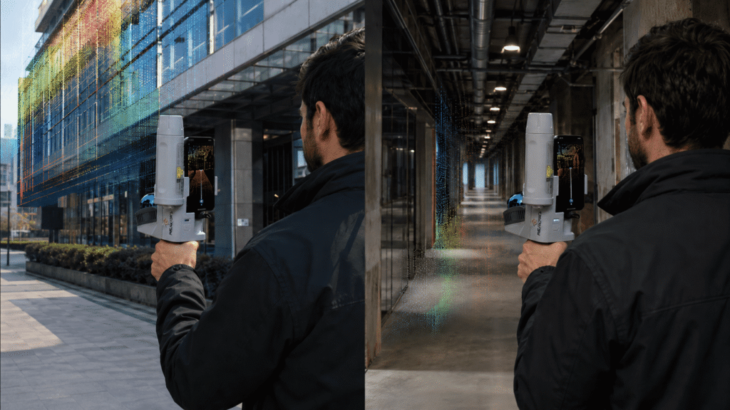
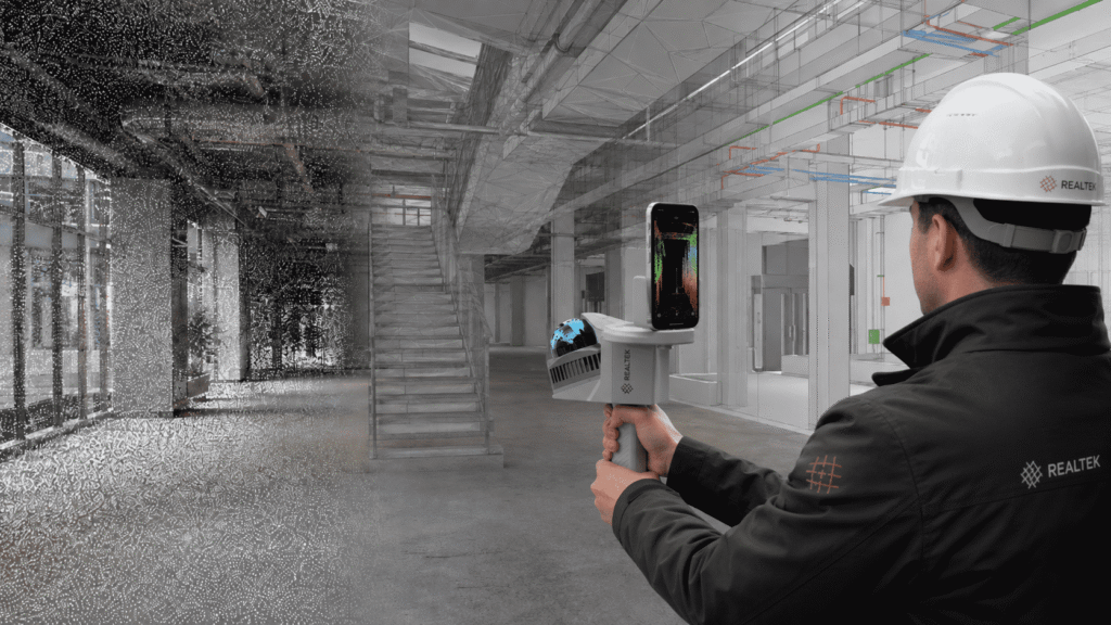
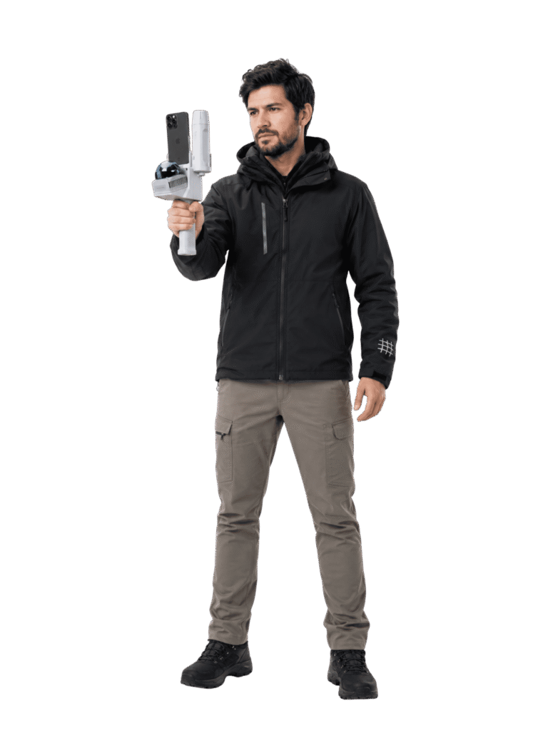
It can operate with LiDAR and phone indoors, or incorporate the RTK receiver for georeferenced surveys in open spaces.
Complete data flow
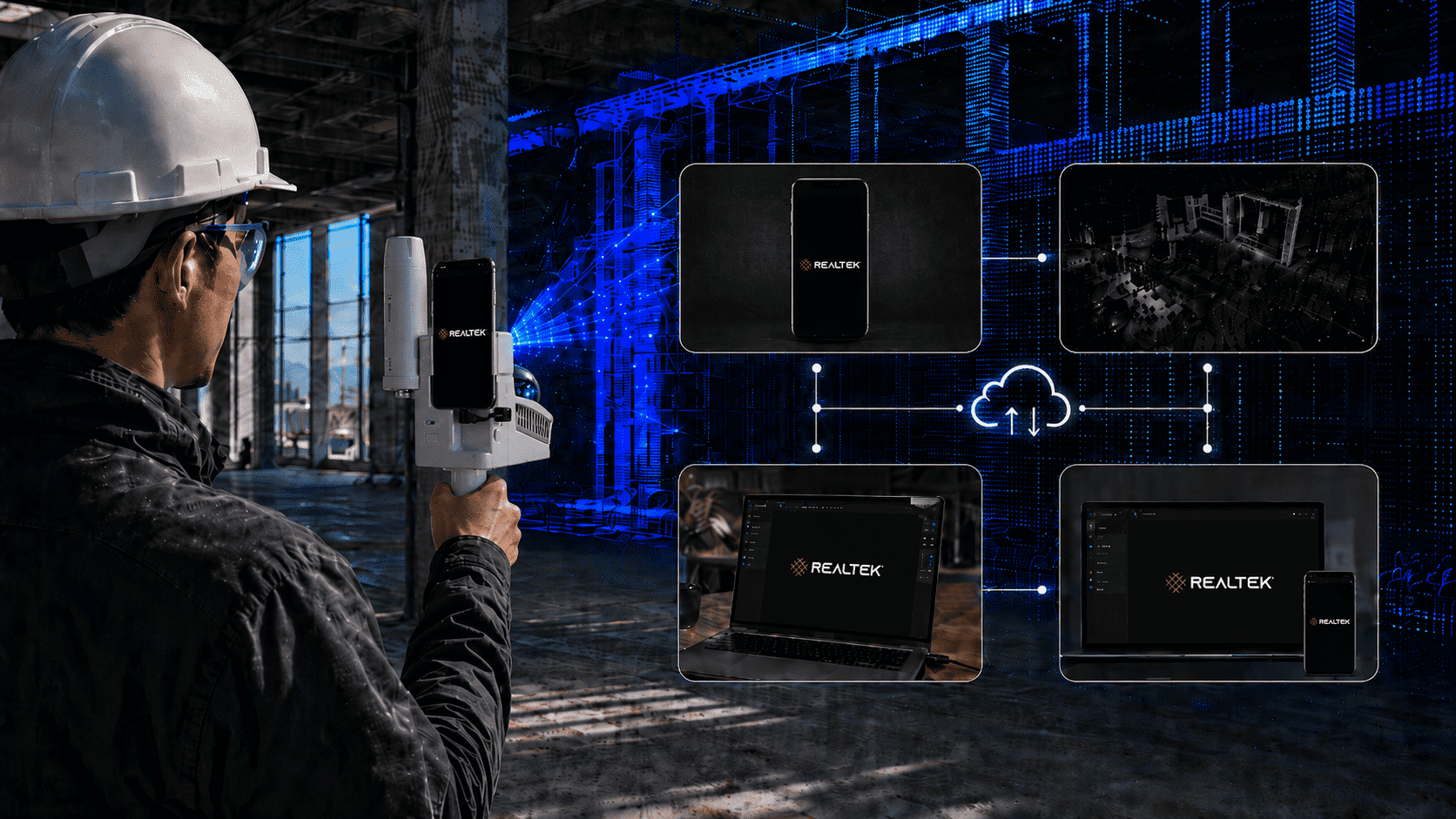
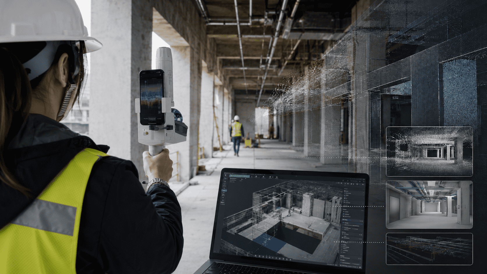
Allows capturing, reviewing, processing and sharing information via FJD Trion Scan, FJD Trion Model and the ecosystem web platform.

More speed and precision on every route, with better results

RTK Georeferencing
Links outdoor scans to real-world coordinates to align them with plans, designs, cartography and other project data.
Live preview
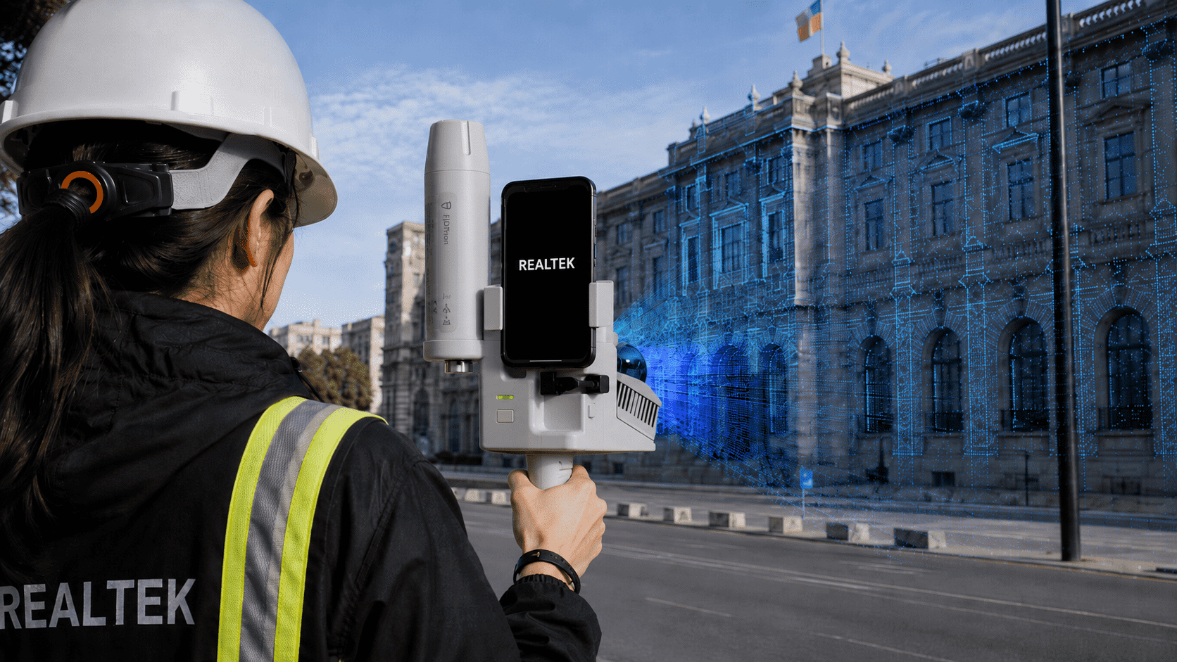
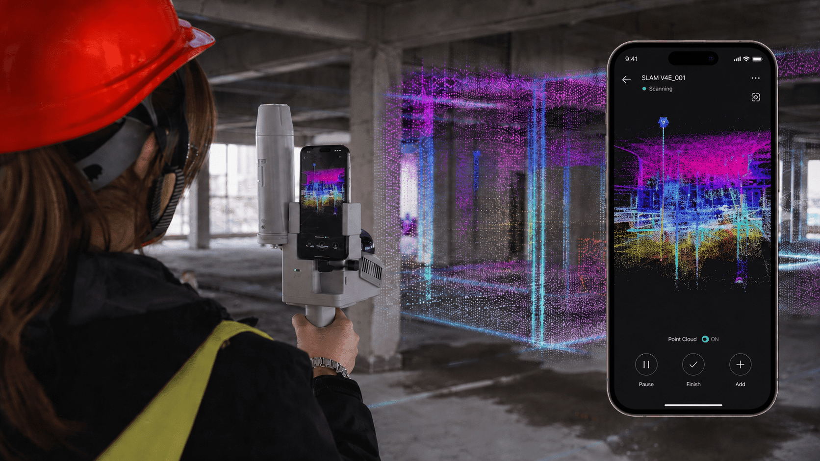
The point cloud is formed on the screen during the scan, helping to check coverage and detect incomplete sectors before leaving.
Dual configuration
Outdoors it uses phone, LiDAR and GNSS/RTK receiver; indoors it can work with phone and LiDAR.
Multiple deliverables
A single capture can be processed to obtain point clouds, meshes, and files prepared for BIM workflows, depending on the software and license available.

Especially
created for you

Technical specifications
RTK Precision
H ≤0.8 cm + 1 ppm and V ≤1.5 cm + 1 ppm, RMS, under suitable reception and correction conditions.
LiDAR Capture
154.600 points/s, sampling above 200 kHz and 360° horizontal field of view.
Range and accuracy
Up to 50 m with 90% reflectivity; post-processed point cloud accuracy of 1 cm relative and 3 cm absolute.
Weight and autonomy
Main LiDAR unit of approximately 890 g and stated autonomy of at least 5 hours.

FJD Trion Ecosystem

FJD Trion model

Comprehensive cloud workflow

Define a complete LiDAR processing workflow to ensure quality, accuracy, and consistent deliverables.

Diverse data sources

Integrates different data sources to simplify import and analysis within a single platform.

Volume calculation

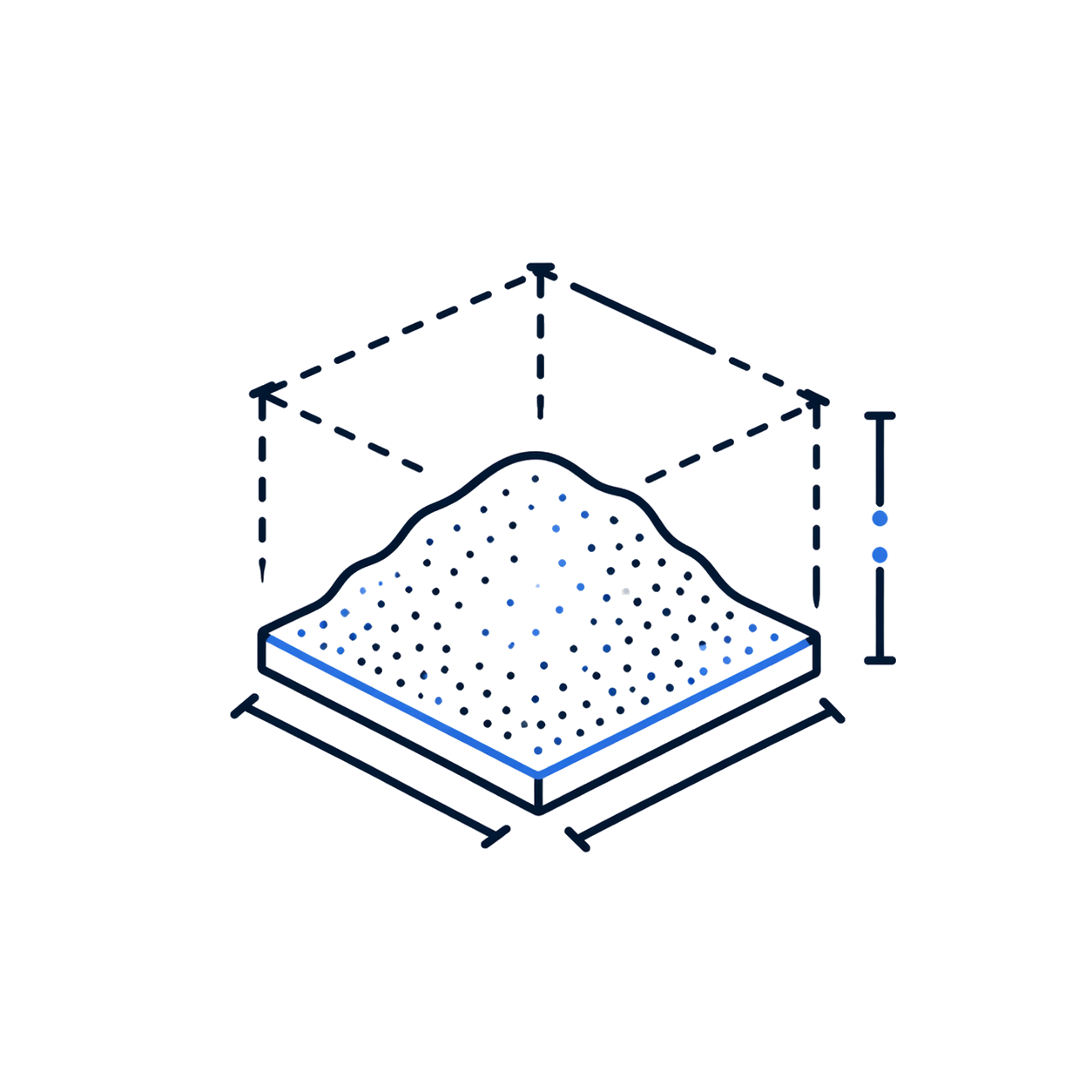
Calculates volumes of stockpiles and enclosed spaces, useful in aggregates, mining, construction, and logistics.

Automatic classification

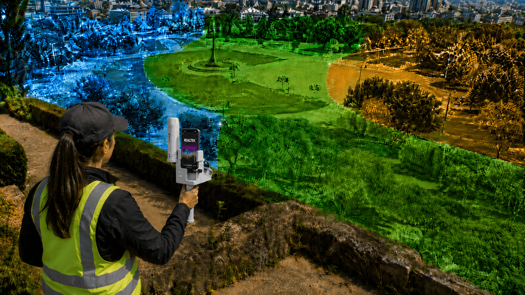
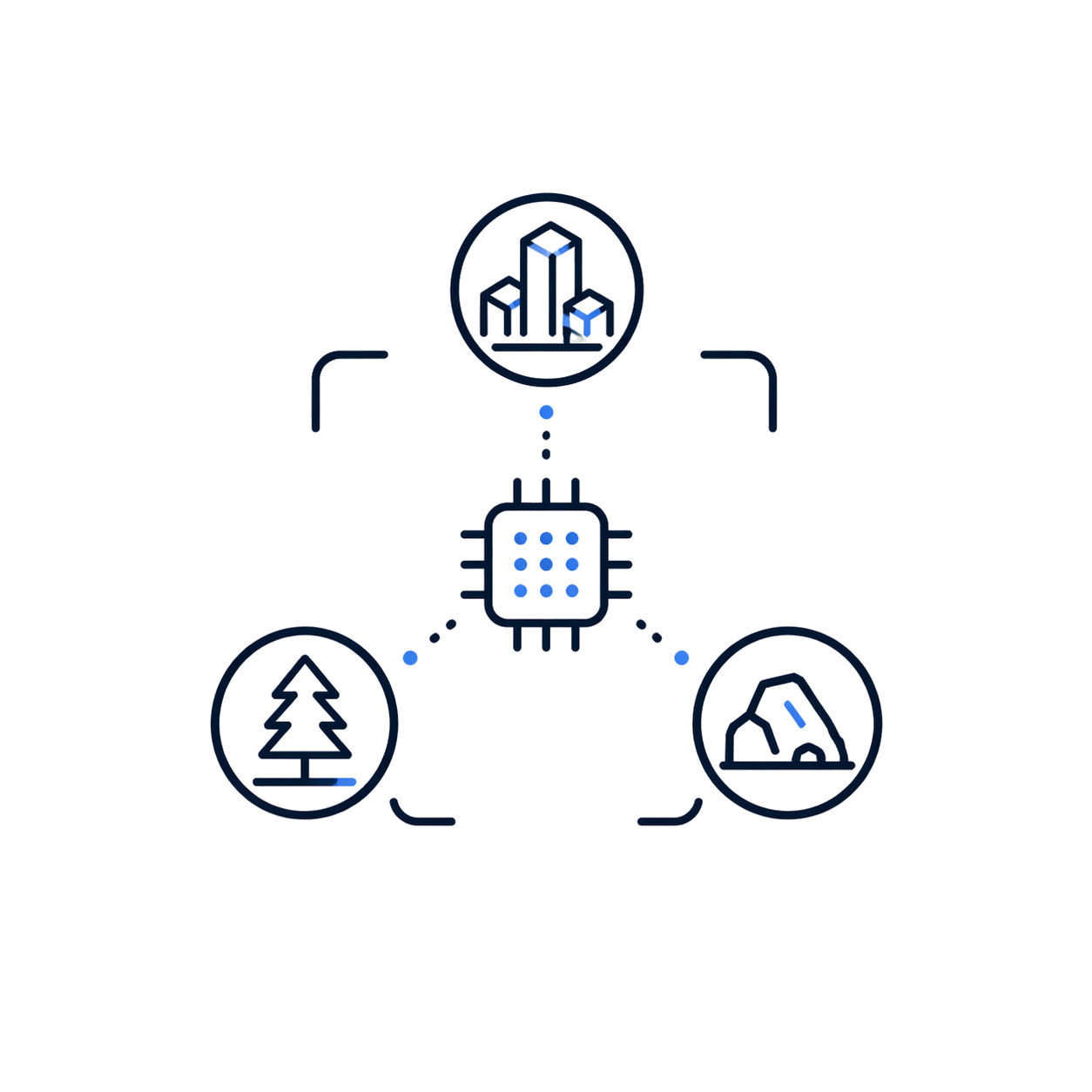
Automatically classifies buildings, trees, and geological features for urban, forestry, or mining uses.

Profile Analysis

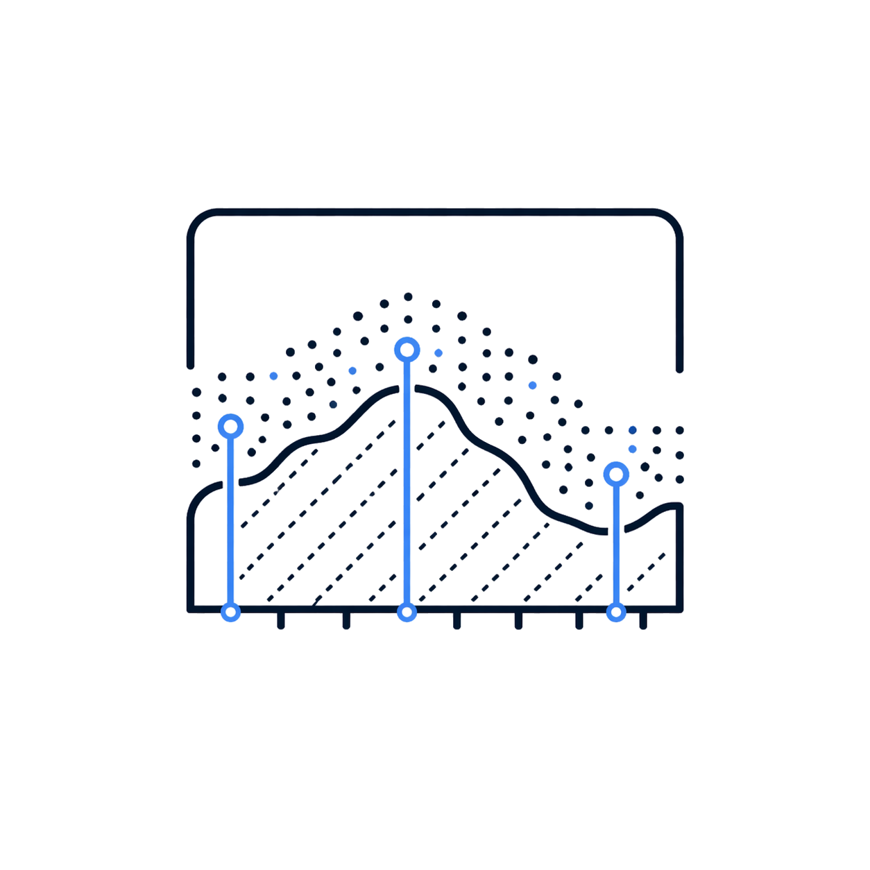
Allows measuring and displaying multiple profiles to assess point cloud quality and geometry.

On-site processing

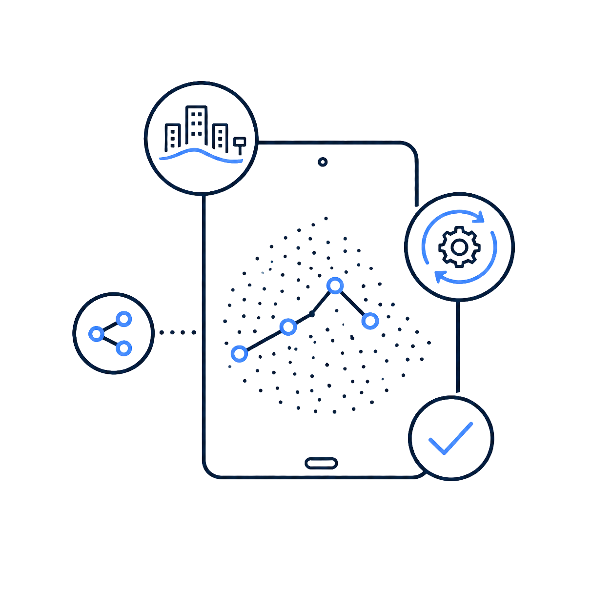
It is available on iPadOS and Android to process, review, and share results directly on site.

Automatic contour lines

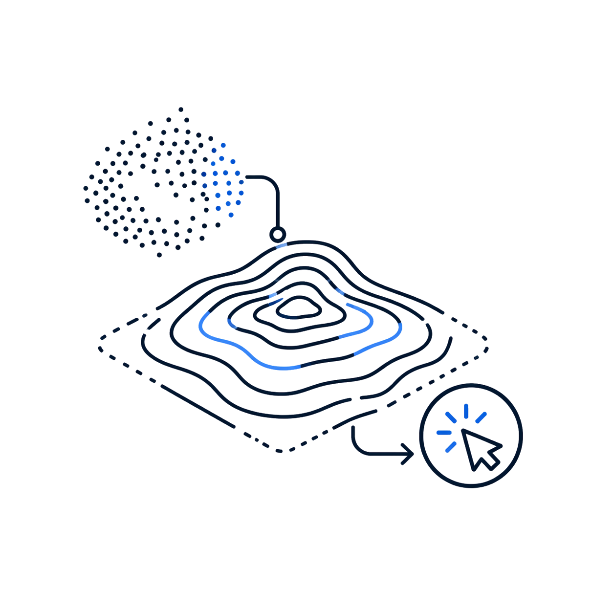
Extracts vector contour lines from the cloud with one click for topography and planning.

Forest parameters

Edit segmentation and extract location, height, and crown of trees for forestry reports.

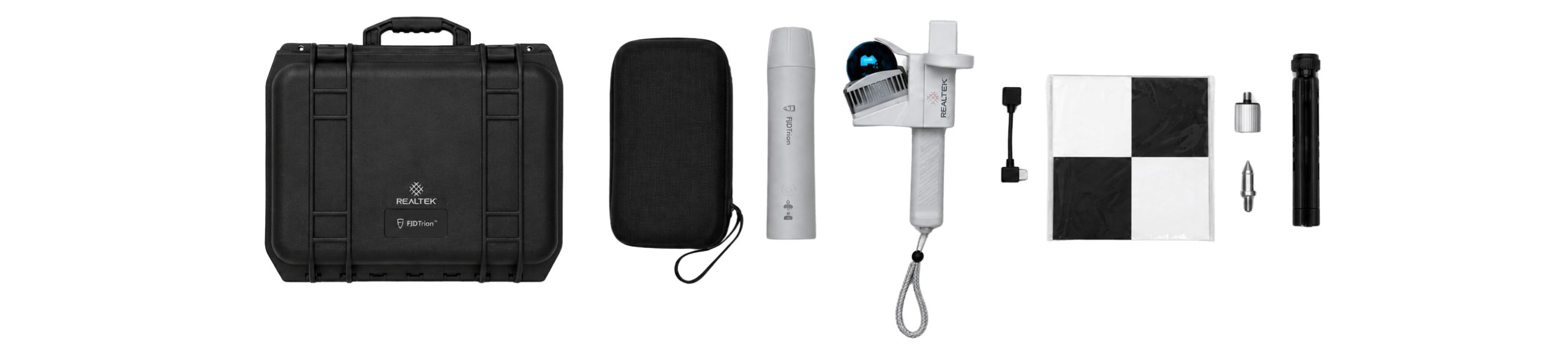
What's in the box?

It also includes

Product warranty

Access to product training course

Exclusive Level 1 discounts

Direct training with our support team

Free

Included in your purchase 12 months

Do you have questions?

Do you have questions?

The V4e LiDAR is the portable scanner mainly used for mobile capture. The V4e Combo adds a GNSS/RTK receiver, allowing outdoor scans to be linked to real coordinates and integrated with plans, cartography, and surveying workflows.
Yes. Outdoors, the recommended setup uses phone, GNSS/RTK receiver, and LiDAR scanner to generate georeferenced point clouds. Indoors, where there is no GNSS signal, phone and LiDAR can be used, relying on SLAM trajectory and closed loops.
The LiDAR point cloud has a declared post-processed accuracy of 1 cm relative and 3 cm absolute. The RTK receiver declares H ≤0.8 cm + 1 ppm and V ≤1.5 cm + 1 ppm, RMS. These figures represent different components of the system and the final result depends on environment, signal, trajectory, calibration, and processing.
The declared range is 0.05 to 50 m on surfaces with 90% reflectivity and 0.1 to 25 m with 10% reflectivity. The minimum detection distance is 0.05 m.
The application allows configuring the receiver as an NTRIP rover. The quick guide indicates that the NTRIP account must be purchased separately. The need for the service will depend on the RTK correction method available in the project.
The manufacturer indicates compatibility with iPhone 15 or later and Samsung Galaxy S20 or later. The quick guide specifically lists Samsung Galaxy S20 to S25 and sets minimum requirements for Android. It is recommended to validate the exact model before quoting.
FJD Trion Scan is used for capture, preview, and file management. FJD Trion Model is used for processing and generating deliverables. The official FAQ indicates that Model requires an included activation code, while FJD Trion Explorer has a free trial and subsequent conditions depending on the plan. The license included in Chile must be confirmed.
The LiDAR unit offers at least 5 hours of operation and a full charge in up to 3 hours. Reviewed sources do not specifically indicate the total autonomy of the GNSS/RTK receiver included in the Combo.

Yes. All our products include training through the free GoKeep program. Additionally, our support channel is always available to provide you with a quick response to any technical or commercial questions. You can find our WhatsApp contact directly in the footer of our website.

Yes, we ship to different regions of the country. The cost and delivery time may vary depending on the municipality or region of destination.

No, the published prices are net and VAT is added at checkout.

Talk to an advisor

Response in less than 5 minutes.

Experts in precision

Discover more solutions by category.

GNSS Systems

Laser Scanner

Cameras

Total Stations

Detection Systems

Levels

Software