
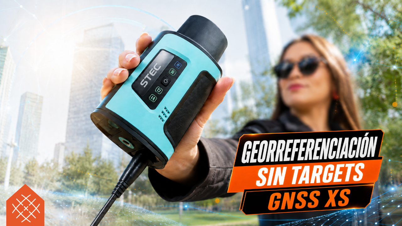
Georeferencing without targets is possible with the GNSS XS: it allows capturing characteristic points in the field to later georeference the P2 laser scanner cloud in the office
BLK Data Manager: How to Download Data from Leica BLK360 G2
Do you need to download your data from the Leica BLK360 G2? 📥 Discover…

